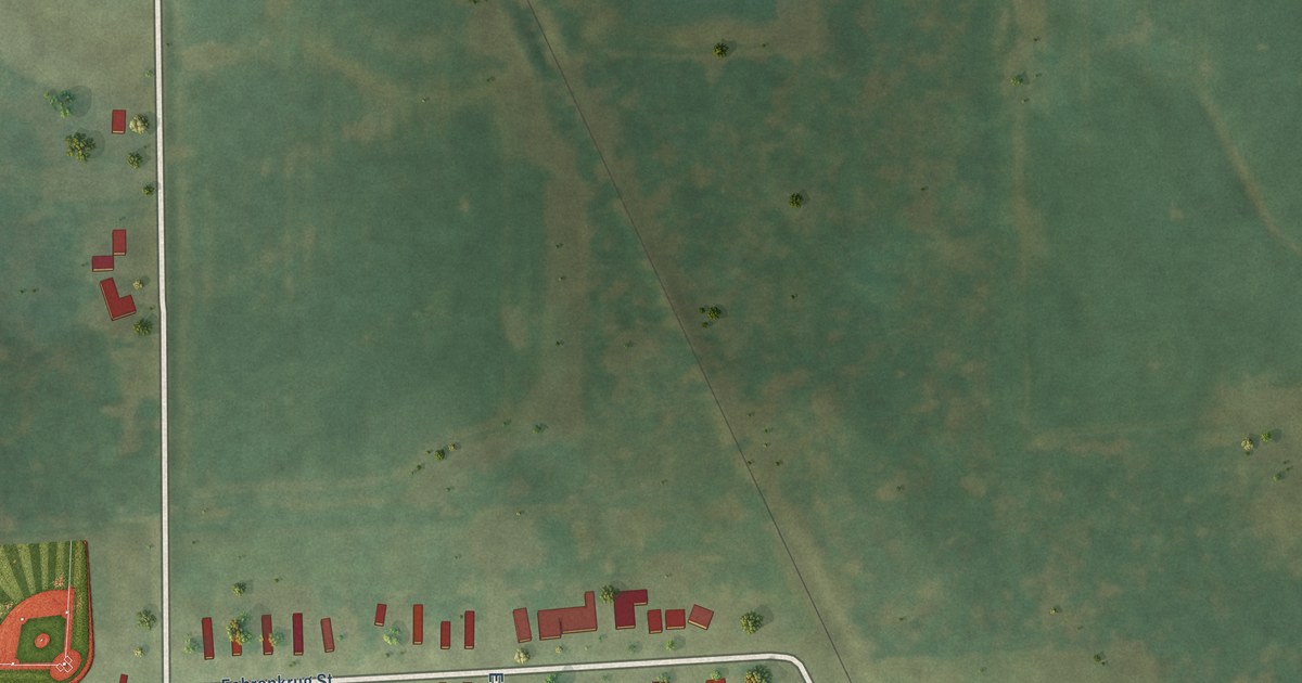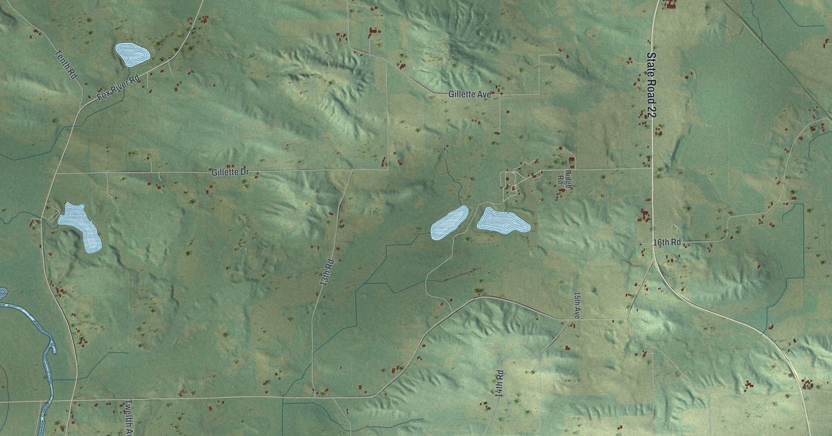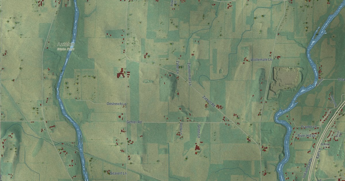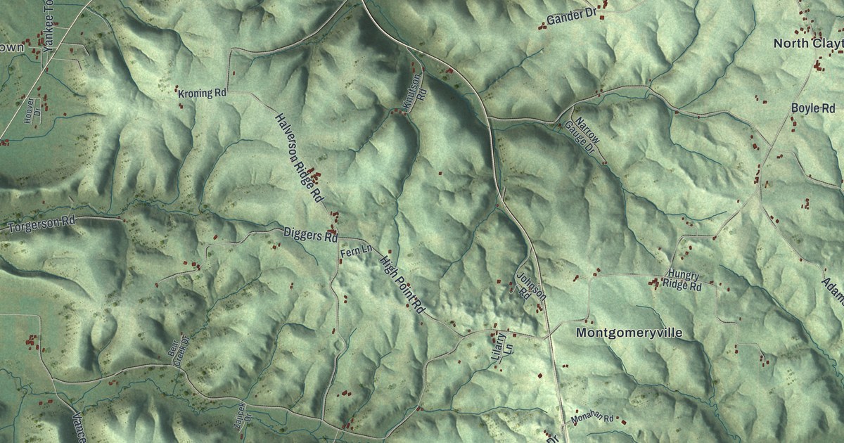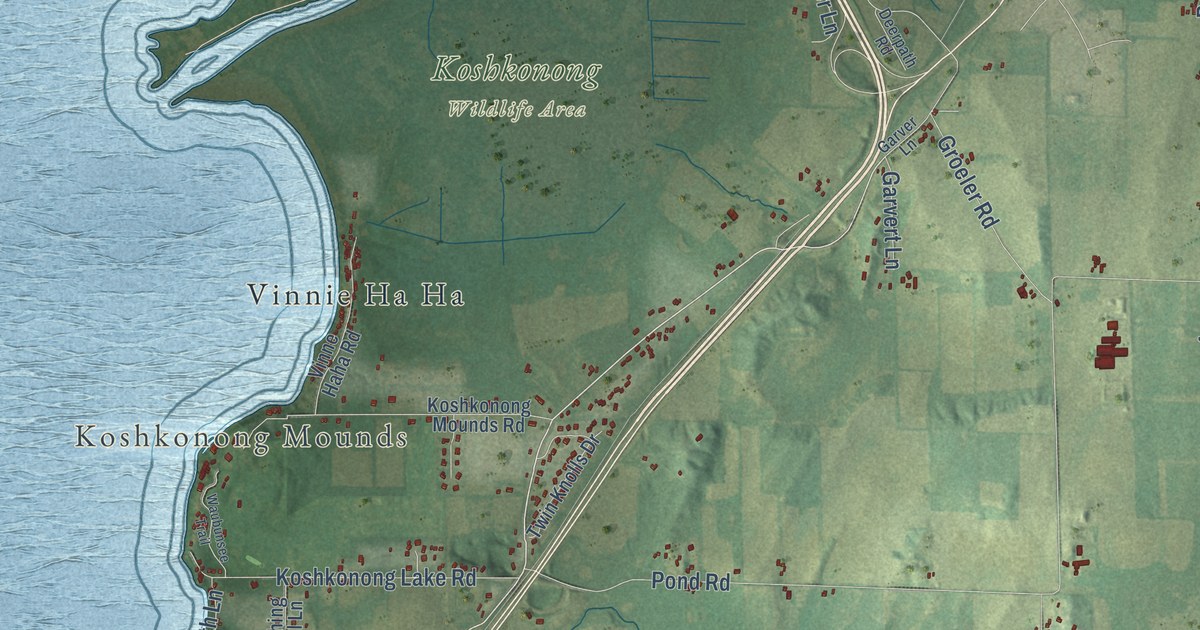
This beautifully detailed map of Koshkonong, Wisconsin was created in 2026 using aerial imagery combined with modern topographical, census, street and landmark data. It’s a one-of-a-kind view of Koshkonong that combines accurate data with a vintage aesthetic. The map shows every building in its true location, many of the roads carry their names, and the shaded topographic relief shows the shape of the land.
Explore an aerial view of Koshkonong, Wisconsin
On the map you’ll find Koshkonong Mounds, Koshkonong Wildlife Area, Blackhawk Island, and Old 26, along with East County Line Road, County Line Road, Rock-Jefferson County Line Road, Haight Road, Old Highway 26, Tri County Road, Tri County Line Road, McIntyre Road, and more. If you look closely you can even find your house accurately drawn in its correct location. Zoom in on the preview to look for yours.
Did you know this piece of Koshkonong, Wisconsin history?
From the History of Jefferson County: "Atkinson dropped down a short distance from the Burnt Village and built a stockade fort, which he called Fort Koshkonong."
Take a closer look at the Koshkonong map
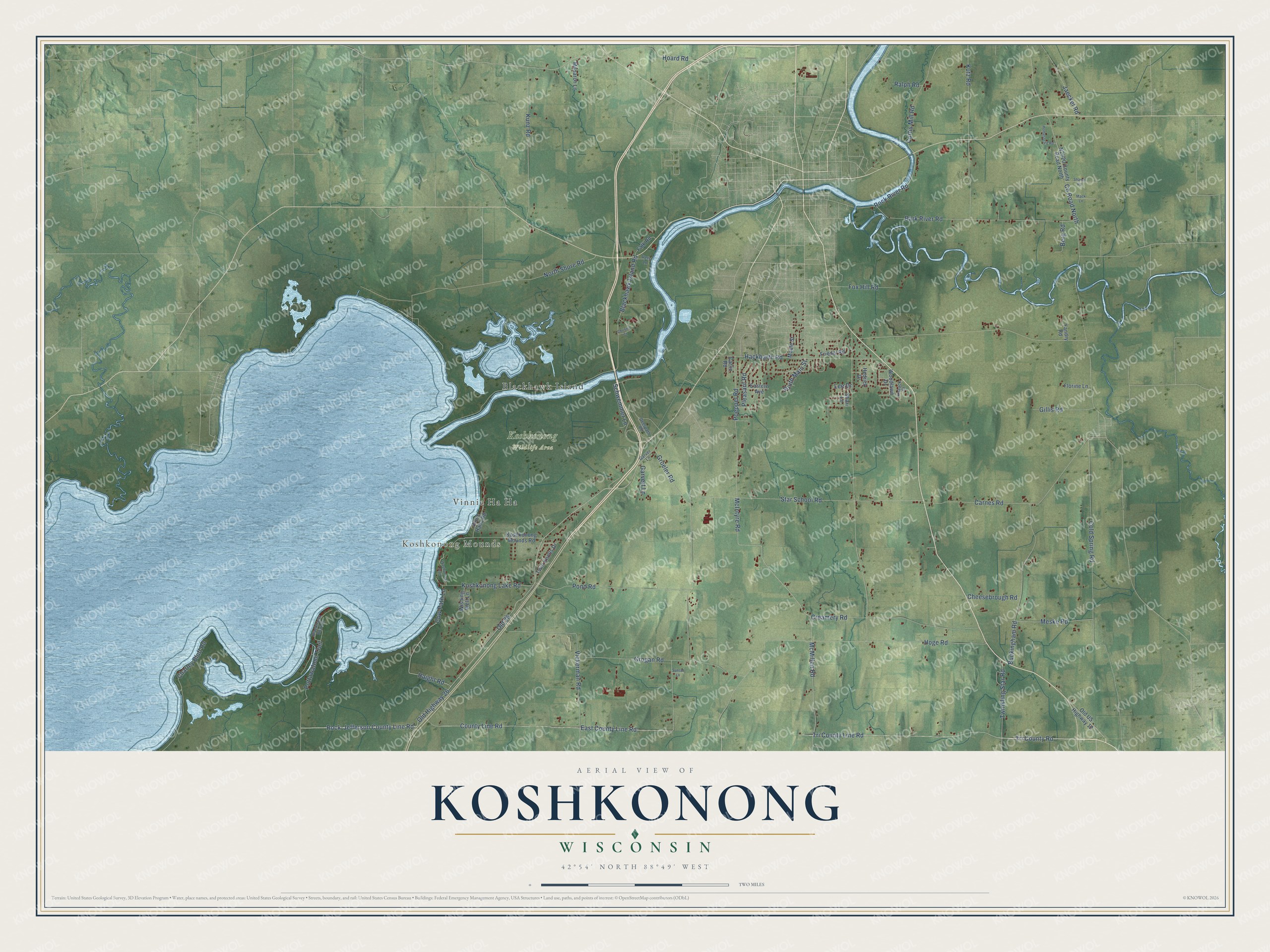
Street and place names on the Koshkonong, Wisconsin map
These names are printed on the map of Koshkonong, Wisconsin.
Places: Koshkonong Mounds, Koshkonong Wildlife Area, Blackhawk Island and Vinnie Ha Ha.
Streets and roads: East County Line Road, County Line Road, Rock-Jefferson County Line Road, Haight Road, Old Highway 26, Old 26, Tri County Road, Tri County Line Road, McIntyre Road, McMillen Road, Poeppel Road, County Road North.
More street names, A to Z
Bark River Road, Berg Road, Blackhawk Bluff Drive, Blackhawk Island Road, Buckingham Road, Carlin Road, Carnes Road, Charley Bluff Road, Cheesebrough Road, Christie Court, Cold Spring Road, Cow Path Lane, Creamery Road, Curtis Mill Road, Deerpath Road, Eastern Avenue, Falk Road, Florine Lane, Fox Hill Road, Friedel Road, Garver Lane, Garvert Lane, Gillis Road, Groeler Road, Grogan Road, Hackbarth Road, Hedrick Drive, Hoard Road, Hoge Road, Homestead Road, Jaeckel Road, Knaack Court, Koshkonong Lake Road, Koshkonong Mounds Road, Kunz Road, Kutz Road, Lee Drive, Mack Lane, Maple Street, Meske Road, Monarch Lane, North Shore Road, Old US Highway 12, Pleasant Road, Pond Road, Pottawatomi Trail, Ralph Road, Rock River Road, Schwemmer Lane, Shaner Road, Shari Lane, South Main Street, Star School Road, Sunset Lane, Twinkling Star Road, Twin Knolls Drive, Vets Lane, Vickerman Road, Vinne Haha Road, Waubunsee Trail, Wishing Well Lane, Woodlawn Drive, Yandry Road.
See the Koshkonong, Wisconsin map on a wall
The Koshkonong map as an 18 x 24 inch print in a black frame.

This beautifully detailed map of Koshkonong makes an attractive addition to your office, library, or den, and it can even be used to teach children the geography and history of the area. It also makes a great gift for anyone with Koshkonong roots. When you’re done exploring, click here to get your copy of the Koshkonong map.