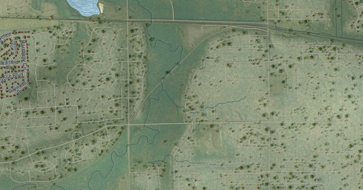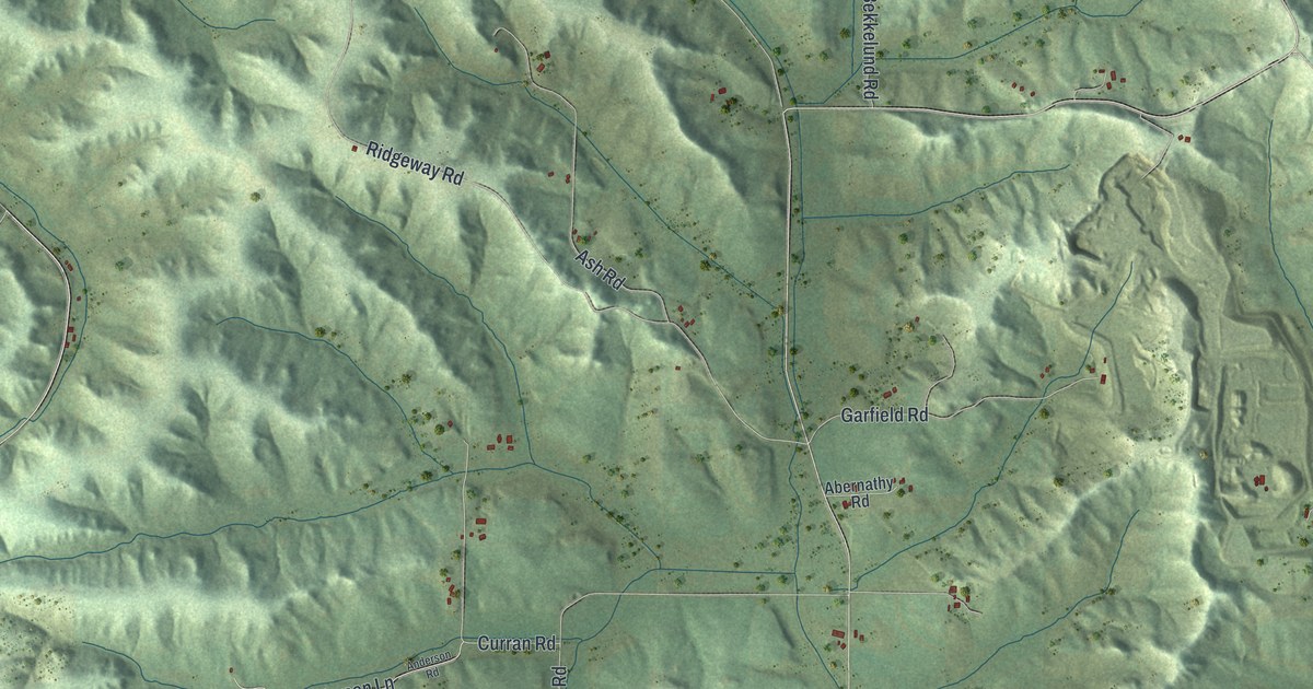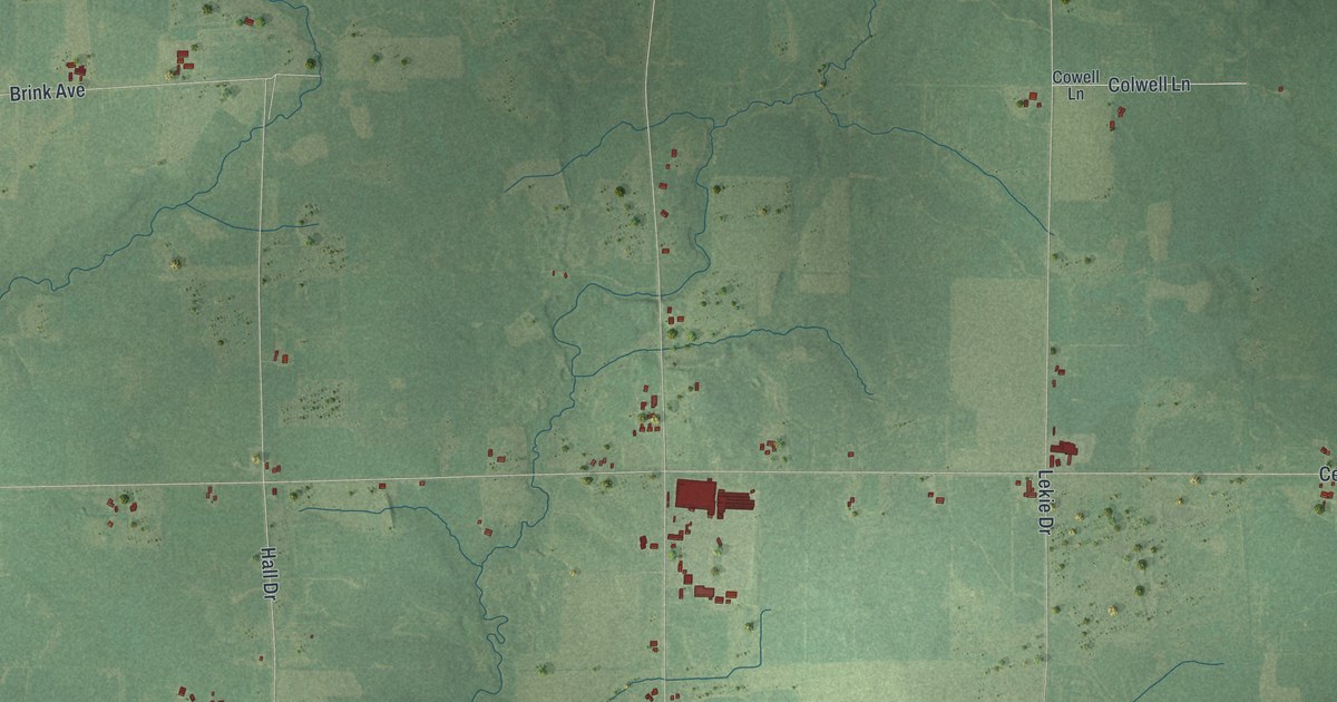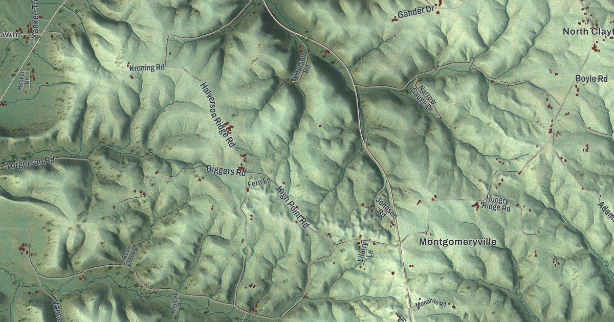
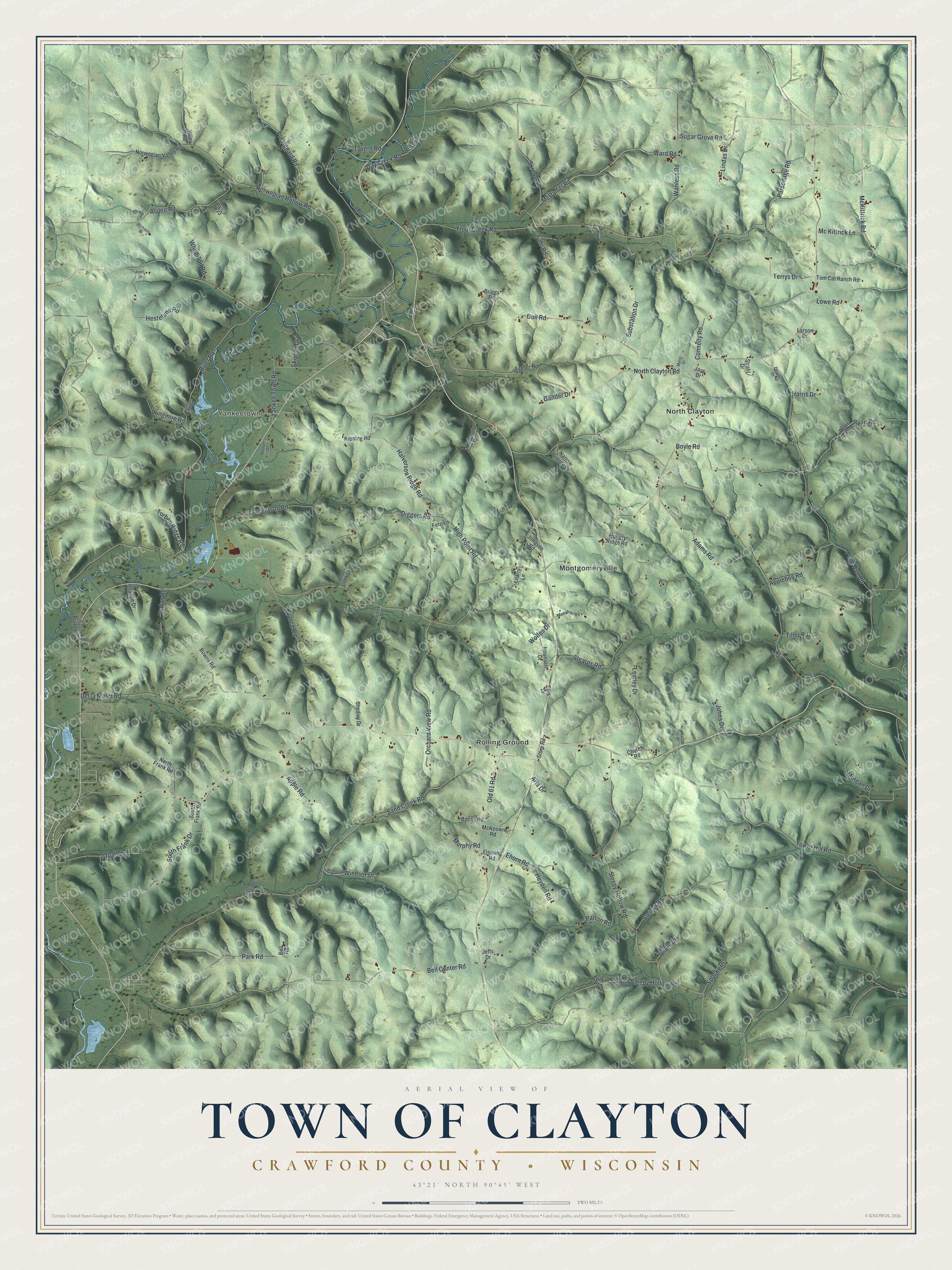
This beautifully detailed map of Clayton, Wisconsin was created in 2026 using aerial imagery combined with modern topographical, census, street and landmark data. It's a modern aerial view of Clayton in Crawford County, Wisconsin, that combines modern data with a vintage aesthetic. The roads feature printed names, and if you look closely you can find your exact house accurately shown in its correct location.
Explore an aerial view of Clayton, Wisconsin
On this map you'll find Yankeetown, Montgomeryville, North Clayton, Rolling Ground, Sugar Grove Road, Ward Road, McDaniel Road, Skrede Road, South Frank Drive, Ryan Road, McKittrick Road, Morgan Drive, and more. Each red shape is a building, so zoom in on the preview and look for yours.
Here is a piece of Clayton history, in the words of the record. The Historical Marker Database puts it this way: "In late July, during the Black Hawk War of 1832, Sac Indian leader Black Hawk led his starving followers through this area in their escape from the General Henry Atkinson and his military forces."
Clayton is a town in Crawford County. The Census Bureau counted 1,052 people here in 2020.
Take a closer look at the Clayton map
Names on this map
These names are printed on this map.
Places: Yankeetown, Montgomeryville, North Clayton and Rolling Ground.
Streets and roads: Sugar Grove Road, Ward Road, McDaniel Road, Skrede Road, South Frank Drive, Ryan Road, McKittrick Road, Morgan Drive, Wolfes Drive, Trout Creek Road, River Road, Sand Creek Road.
More street names, A to Z
Adams Road, Applebee Road, Apple Road, Arts Drive, Aspen Road, Banes Road, Bear Creek Drive, Bell Center Road, Bell Road, Bills Road, Bowns Road, Boyle Road, Briggs Drive, Church Road, Connelly Road, Day Creek Road, Del la Mater Road, Devitt Drive, Dewitt Drive, Diggers Road, Dull Road, Ehorn Road, Ellis Drive, Fahr Road, Fern Lane, Fleming Road, Gander Drive, Gander Road, Halverson Ridge Road, Harris Drive, Hestetune Road, Heyden Road, High Point Road, Honey Farm Road, Hoover Drive, Hounsell Drive, Hungry Ridge Road, Jays Drive, Jeffs Drive, Johns Drive, Johnson Road, Knoble Road, Knutson Road, Kroning Road, Larson Drive, Lemley Drive, Lilarry Lane, Lindas Drive, Longmire Road, Loon Lake Drive, Lowe Road, Malone Drive, McKeown Road, Mc Kittrick Lane, Michaels Drive, Monahan Road, Muntz Drive, Murphy Road, Narrow Gauge Drive, North Clayton Road, North Frank Road, Norwegian Hollow Road, Norwegian Valley Road, Oak Drive, Old 61 Road, Olson Road, Opals Lane, Orchard View Road, Pansy Lane, Park Road, Parsonage Road, Patton Road, Pettit Drive, Phillips Drive, Pilots Drive, Plum Run Road, Prestegard Road, Rut Drive, Ryan Drive, Shedivy Drive, Skipper Drive, Sleepy Hollow Road, South Bottom Lane, South Frank Road, South Sleepy Hollow Road, Spooky Drive, Stearns Road, Steiner Road, Store Road, Strahl Drive, Strange Drive, Substation Drive, Tavern Road, Terrys Drive, Tiller Road, Tom Cat Ranch Road, Torgerson Road, Tower Hill Road, Turben Ridge Road, Turfan Road, Vance Road, Wanless Road, White Tail Road, Wiley Road, Windsor Drive, Windsor Road, Yankee Town Road, Zajicek Drive.
Created by KNOWOL in 2026. The buildings are small red shapes, the roads carry their printed names, and shaded relief shows the shape of the land. The title panel reads "AERIAL VIEW OF TOWN OF CLAYTON, CRAWFORD COUNTY • WISCONSIN" with 43°21' NORTH 90°45' WEST.
It suits a den, a classroom or a front hall, and it makes a gift for anyone with Clayton roots. Open the preview and find the block you know. See sizes and frames for the Town of Clayton, Crawford County map.