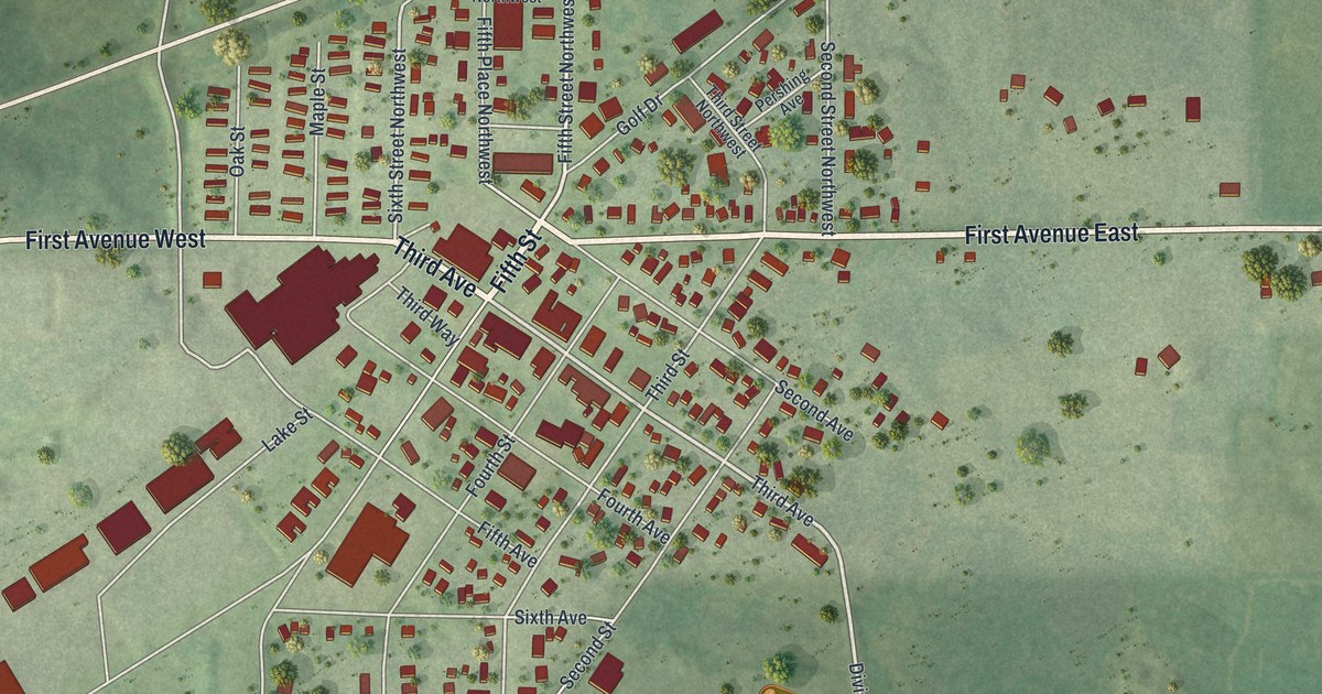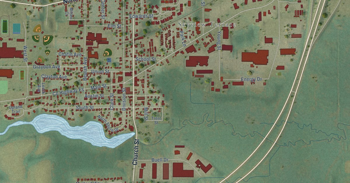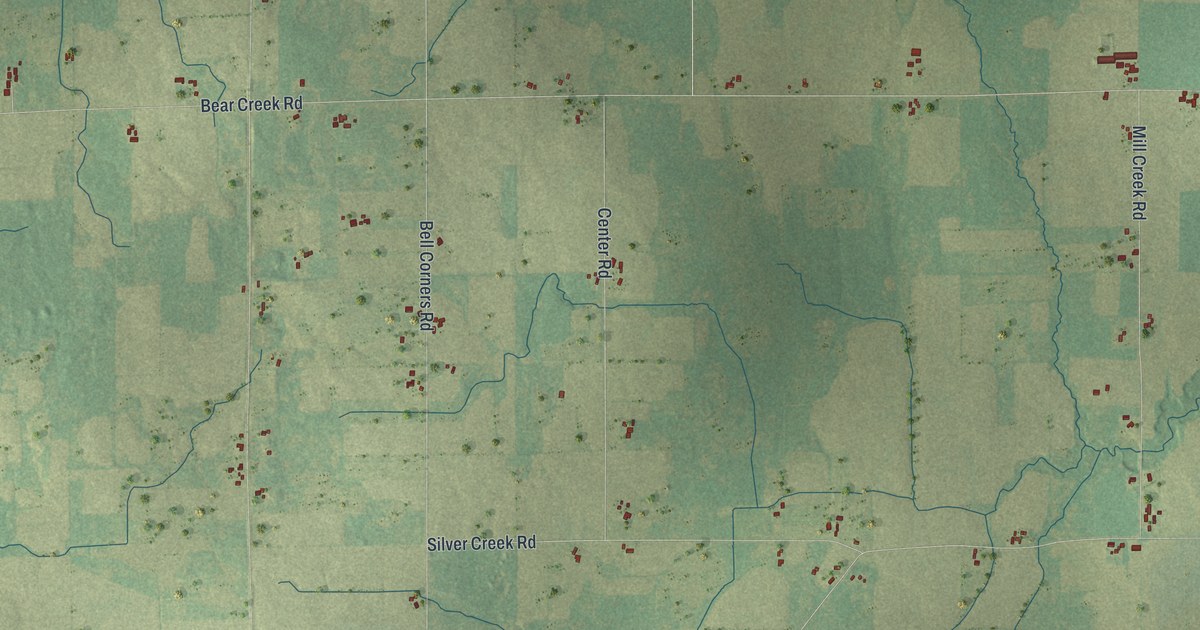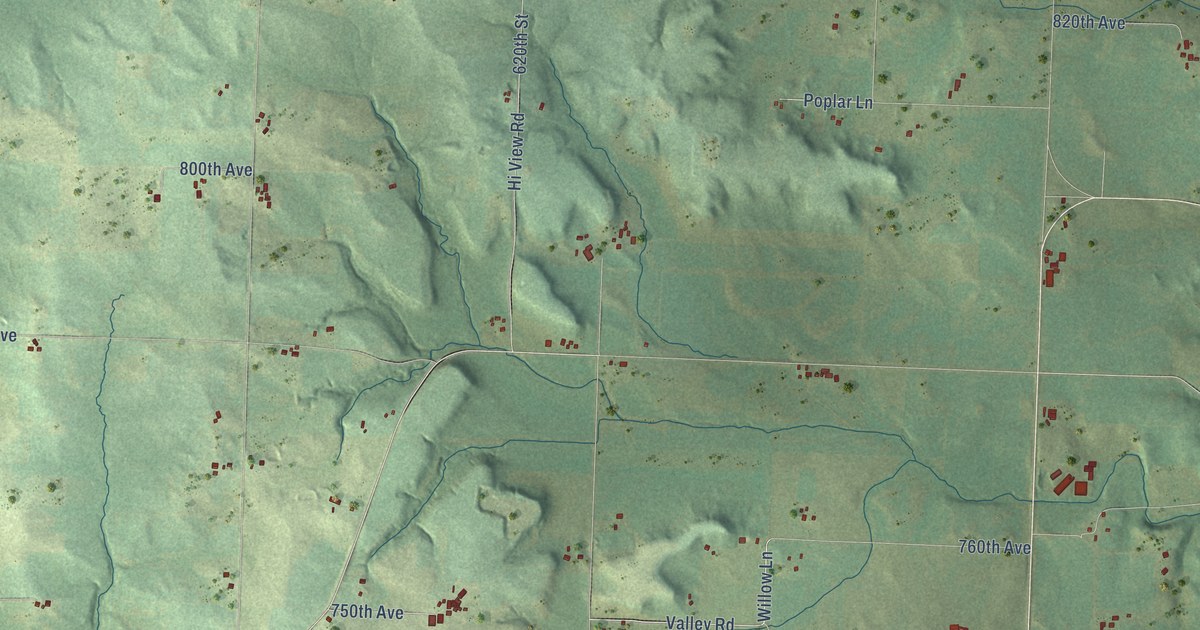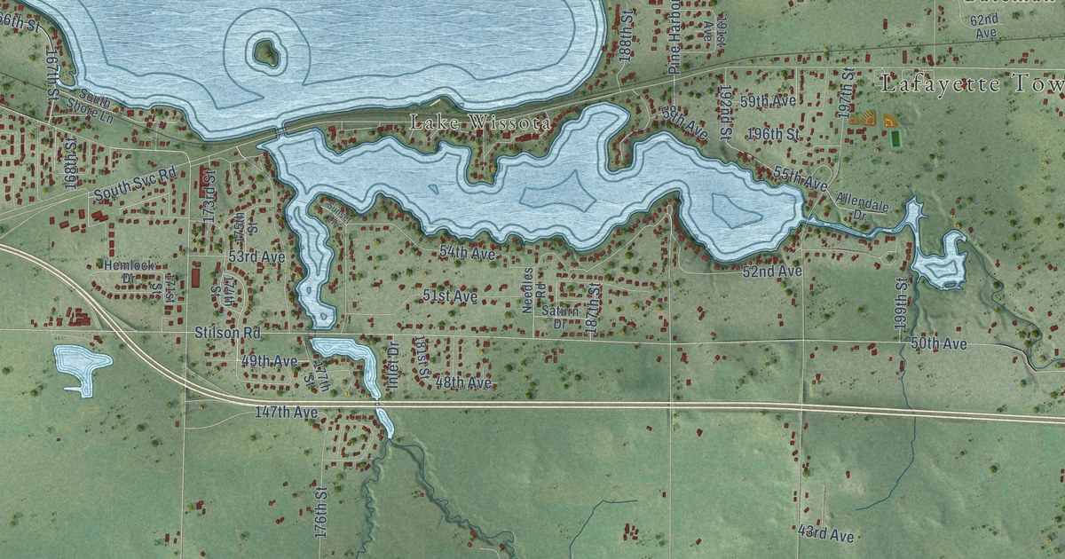
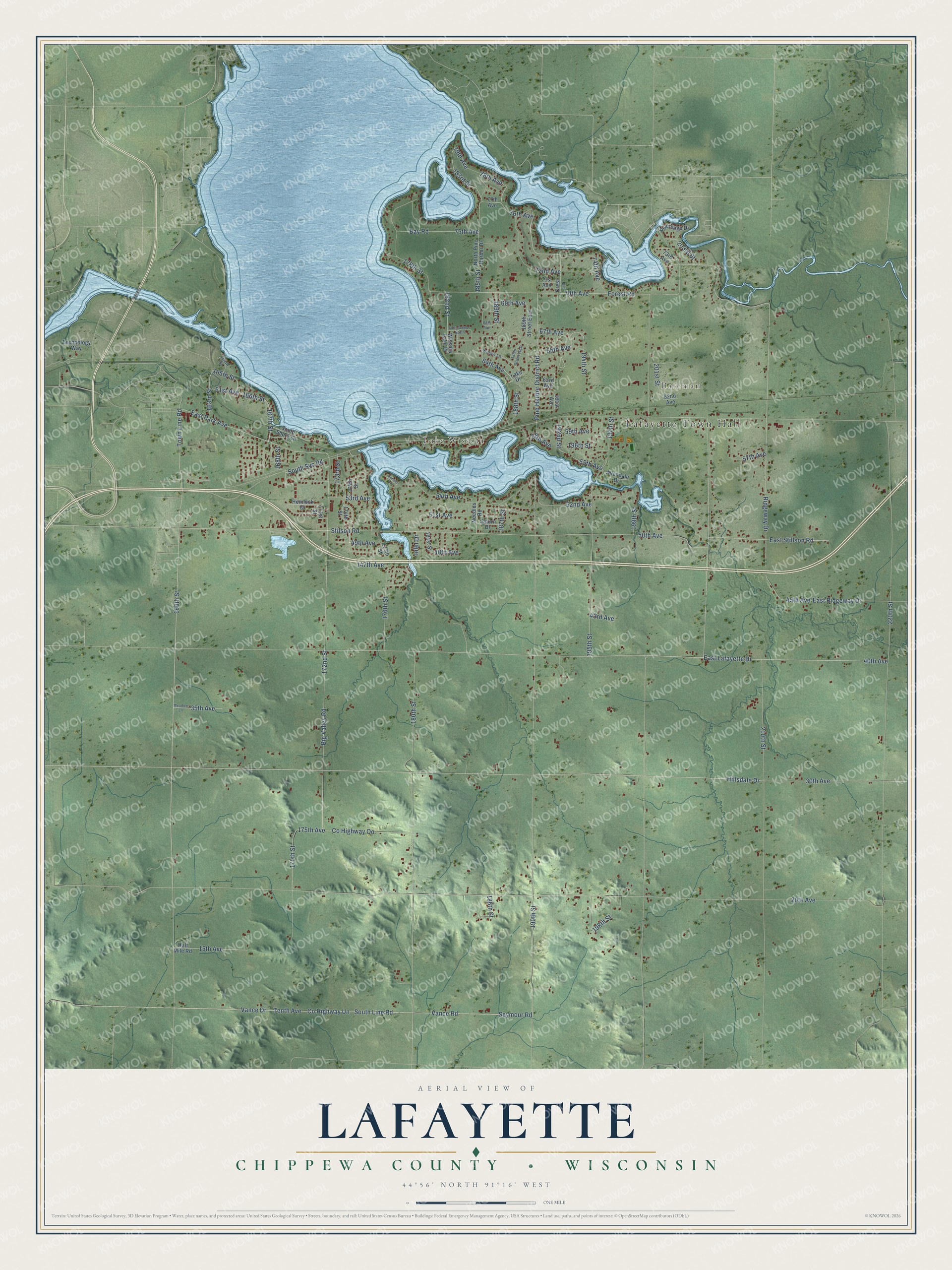
This beautifully detailed map of Lafayette, Wisconsin was created in 2026 using aerial imagery combined with modern topographical, census, street and landmark data. It's a modern aerial view of Lafayette in Chippewa County, Wisconsin, that combines modern data with a vintage aesthetic. The roads feature printed names, and if you look closely you can find your exact house accurately shown in its correct location.
Explore an aerial view of Lafayette, Wisconsin
On this map you'll find Lafayette Town Hall, Bateman, Lake Wissota, 30th Avenue, Hillsdale Drive, 75th Avenue, 49th Avenue, 76th Avenue, 78th Avenue, Co Highway Un, South Line Road, Seymour Road, and more. Each red shape is a building, so zoom in on the preview and look for yours.
Every town has a first chapter, and Lafayette is no exception. The Chippewa County Past and Present puts it this way: "The first district school organized in Chippewa county was opened in the town of Lafayette in the fall of 1855 by Miss Irene Drake."
Lafayette is a town in Chippewa County. The Census Bureau counted 6,197 people here in 2020.
Take a closer look at the Lafayette map
Names on this map
These names are printed on this map.
Places: Lafayette Town Hall, Bateman and Lake Wissota.
Streets and roads: 30th Avenue, Hillsdale Drive, 75th Avenue, 49th Avenue, 76th Avenue, 78th Avenue, County Highway Un, South Line Road, Seymour Road, Vance Road, 166th Street, 167th Street.
More street names, A to Z
15th Avenue, 20th Avenue, 35th Avenue, 40th Avenue, 43rd Avenue, 45th Avenue, 48th Avenue, 50th Avenue, 51st Avenue, 52nd Avenue, 53rd Avenue, 54th Avenue, 55th Avenue, 57th Avenue, 58th Avenue, 59th Avenue, 61st Avenue, 62nd Avenue, 63rd Avenue, 64th Avenue, 65th Avenue, 67th Avenue, 67th Avenue North, 68th Avenue, 69th Avenue, 70th Avenue, 71st Avenue, 72nd Avenue, 73rd Avenue, 74th Avenue, 77th Avenue, 79th Avenue, 147th Avenue, 160th Street, 163rd Street, 164th Street, 165th Street, 168th Street, 170th Street, 171st Street, 172nd Street, 173rd Street, 174th Street, 175th Avenue, 175th Street, 176th Street, 177th Street, 178th Street, 180th Street, 181st Street, 182nd Street, 183rd Street, 185th Street, 186th Street, 187th Street, 188th Street, 189th Street, 189th Street East, 189th Street West, 190th Street, 191st Avenue, 192nd Street, 194th Street, 195th Street, 196th Street, 197th Street, 198th Street, 199th Street, 201st Street, 203rd Street, 210th Street, 220th Street, Allendale Drive, Bay Road, Big Valley Road, County Highway Oo, Crest Lane, East Lafayette Drive, East Park Avenue, East Ridgeway Drive, East Stillson Road, Forest Road, Half Mile Road, Hemlock Drive, Inlet Drive, Lake Drive, Meadow Lane, Needles Road, North Pine Harbor Drive, Pine Harbor District Road, Ridgeway Drive, Riveredge Drive, Saturn Drive, South Shore Lane, South Svc Road, Stilson Road, Sunset Lane, Technology Way, Tenth Avenue, Town Line Road, Vance Drive, Willow Lane, Wissota Lake Drive.
Created by KNOWOL in 2026. The buildings are small red shapes, the roads carry their printed names, and shaded relief shows the shape of the land. The title panel reads "AERIAL VIEW OF LAFAYETTE, CHIPPEWA COUNTY • WISCONSIN" with 44°56' NORTH 91°16' WEST.
Hang it in the hallway, the office or the cabin, or give it to someone who left Lafayette and still calls it home. Open the preview and look for a street you know. See sizes and frames for the Lafayette, Chippewa County map.