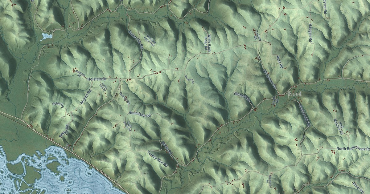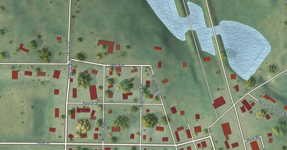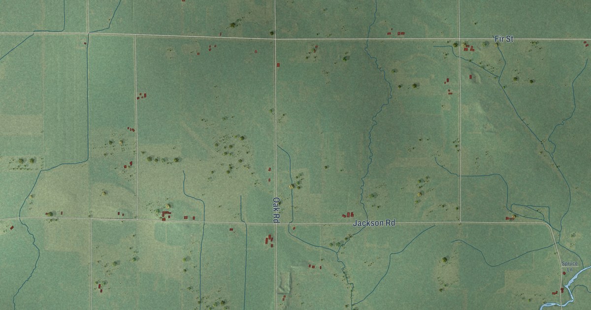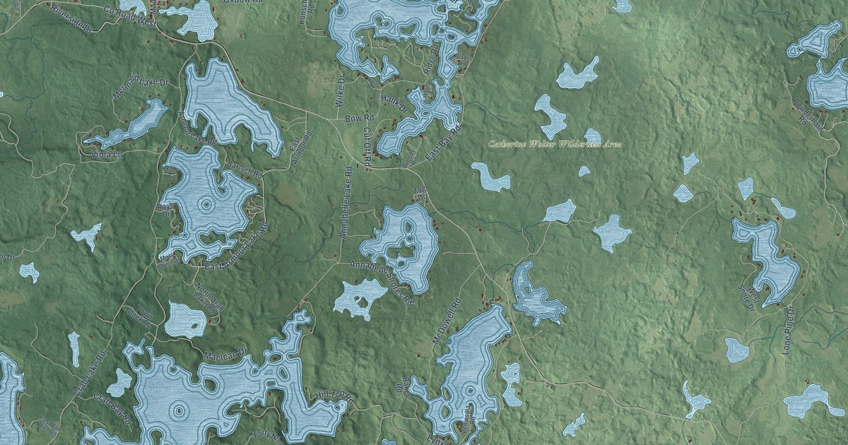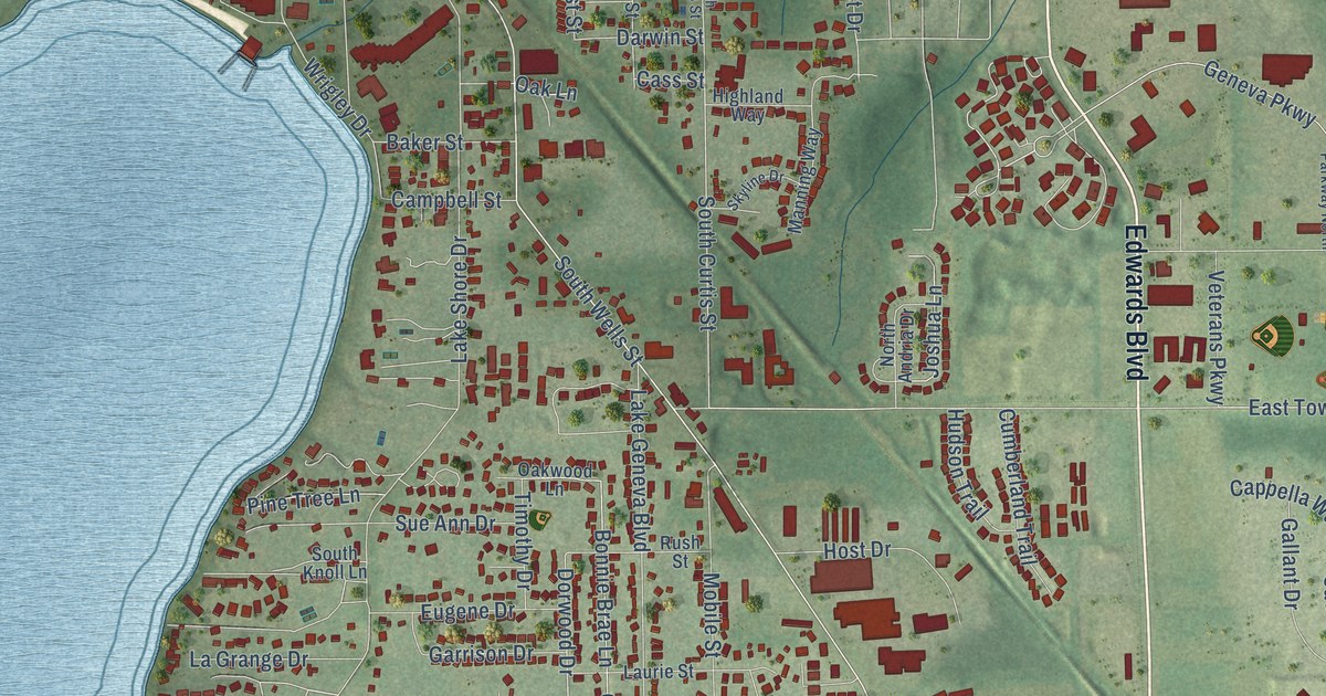
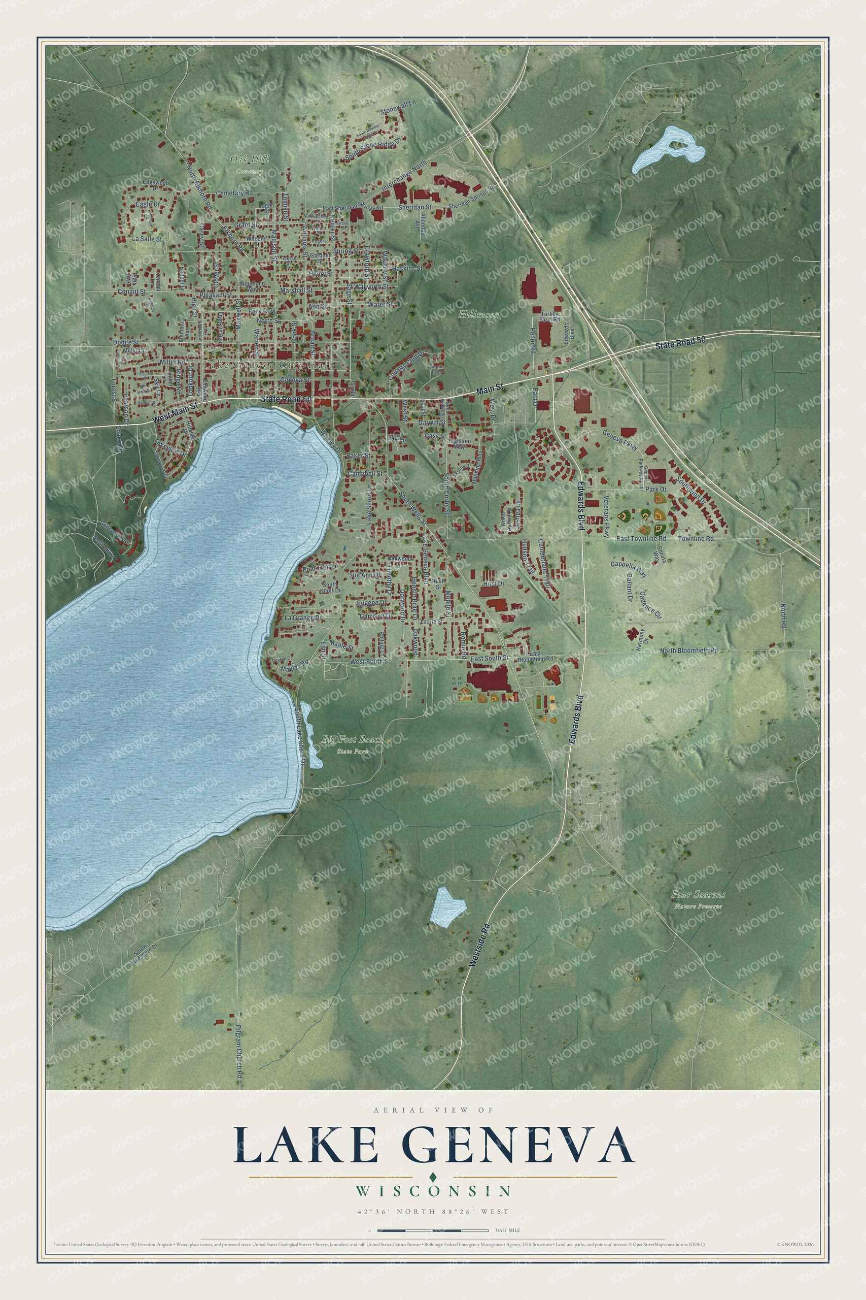
This beautifully detailed map of Lake Geneva, Wisconsin was created in 2026 using aerial imagery combined with modern topographical, census, street and landmark data. It's a modern aerial view of Lake Geneva in Walworth County, Wisconsin, that combines modern data with a vintage aesthetic. The roads feature printed names, and if you look closely you can find your exact house accurately shown in its correct location.
Explore an aerial view of Lake Geneva, Wisconsin
On this map you'll find Lake Geneva City Hall, Big Foot Beach State Park, Four Seasons Nature Preserve, Hillmoor, Oak Hill Cemetery, State Road 50, West Main Street, Main Street, Edwards Boulevard, Westside Road, West South Street, Peller Road, and more. Each red shape is a building, so zoom in on the preview and look for yours.
Here is a piece of Lake Geneva history, in the words of the record. The City of Lake Geneva puts it this way: "In 1836, Christopher Payne, a pioneer settler from Belvidere, Illinois, established a rival claim for the water power."
Lake Geneva is a city in Walworth County. The Census Bureau counted 8,277 people here in 2020.
Take a closer look at the Lake Geneva map
Names on this map
These names are printed on this map.
Places: Lake Geneva City Hall, Big Foot Beach State Park, Four Seasons Nature Preserve, Hillmoor and Oak Hill Cemetery.
Streets and roads: State Road 50, West Main Street, Main Street, Edwards Boulevard, Westside Road, West South Street, Peller Road, East South Street, Sage Street, Lake Shore Drive, Interchange North, South Wells Street.
More street names, A to Z
Allendale Avenue, Ann Street, Aspinall Lane, Badger Lane, Baker Street, Bonnie Brae Lane, Broad Street, Cadence Circle, Campbell Street, Cappella Way, Carey Street, Cass Street, Cemetary Road, Center Street, Ceylon Court, Clover Street, Conant Street, Cook Street, Country Club Drive, Crawford Street, Cumberland Trail, Darwin Street, Dodge Street, Dorwood Drive, Eagle Drive, East Bloomfield Road, East Drive, East Sheridan Springs Road, East Street, East Townline Road, Edgewood Drive, Elkhorn Road, Elm Street, Elmwood Avenue, Eugene Drive, Fair View Drive, Forest Street, Franklin Avenue, Fremont Avenue, Gallant Drive, Gardner Street, Garrison Drive, Geneva Bay Drive, Geneva Parkway, Geneva Parkway North, Geneva Street, George Street, Grant Street, Grove Street, Hank Jay Drive, Harmony Drive, Haskins Street, Henry Street, Highland Way, High Street, Hillcrest Drive, Hillside Drive, Host Drive, Hudson Trail, Jefferson Avenue, Joshua Lane, Kendall Lane, La Grange Drive, Lake Geneva Boulevard, Lakeview Drive, Lakewood Drive, La Salle Street, Laurie Street, Logan Street, Lookout Drive, Madison Street, Manning Way, Maple Street, Marshall Street, Maxwell Street, Maytag Road, Miller Court, Miller Road, Mill Street, Milwaukee Street, Mobile Street, North Andria Drive, North Bloomfield Road, North Curtis Street, North Elkhorn Road, North Road, North Shore, North Street, Oak Lane, Oakwood, Oakwood Lane, Park Drive, Park Row, Pearson Drive, Pheasant Court, Pilgram Church Road, Pine Tree Lane, Platt Avenue, Pleasant Street, Ridge Road, Rogers Court, Rolling Lane, Romin Road, Rush Street, Sheridan Springs Road, Sheridan Street, Sky Lane, Skyline Drive, Snake Road, Sonata Way, South Boulder Ridge Drive, South Curtis Street, South Knoll Lane, South Lake Shore Drive, South Lakeshore Drive, South Stone Ridge Drive, Southwind Drive, Spring Street, Stonewall Lane, Sue Ann Drive, Summit Drive, Timber Lane, Timothy Drive, Tomike Street, Townline Road, Turkey Farm Road, Veterans Parkway, Walker Street, Walworth Street, Warren Street, Water Street, Waverly Street, West Drive, West Miller Court, West Street, Wheeler Street, Williams Street, Woodland Way, Wrigley Drive.
Created by KNOWOL in 2026. The buildings are small red shapes, the roads carry their printed names, and shaded relief shows the shape of the land. The title panel reads "AERIAL VIEW OF LAKE GENEVA, WISCONSIN" with 42°36' NORTH 88°26' WEST.
It suits a den, a classroom or a front hall, and it makes a gift for anyone with Lake Geneva roots. Open the preview and find the block you know. See sizes and frames for the Lake Geneva map.