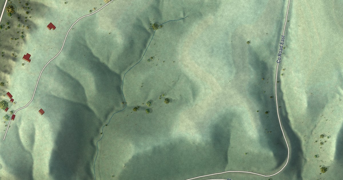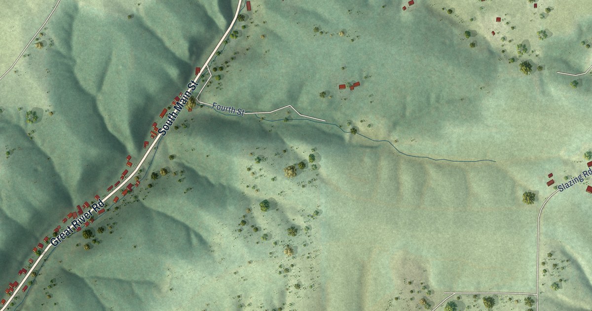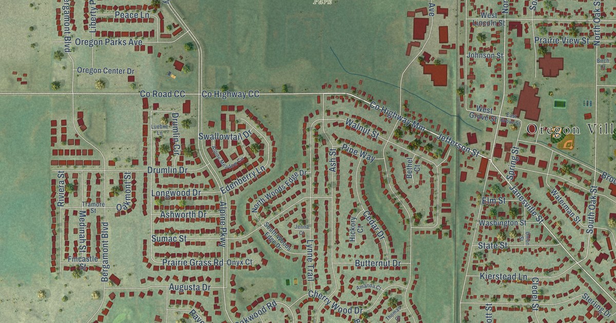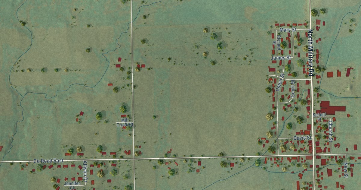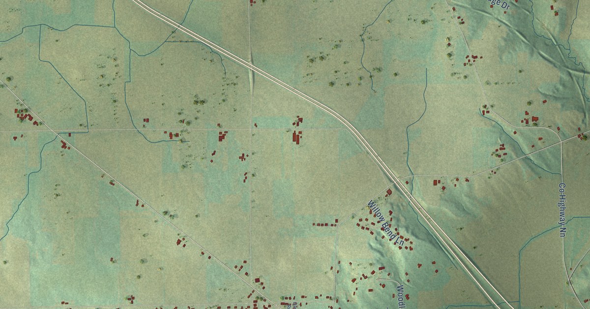
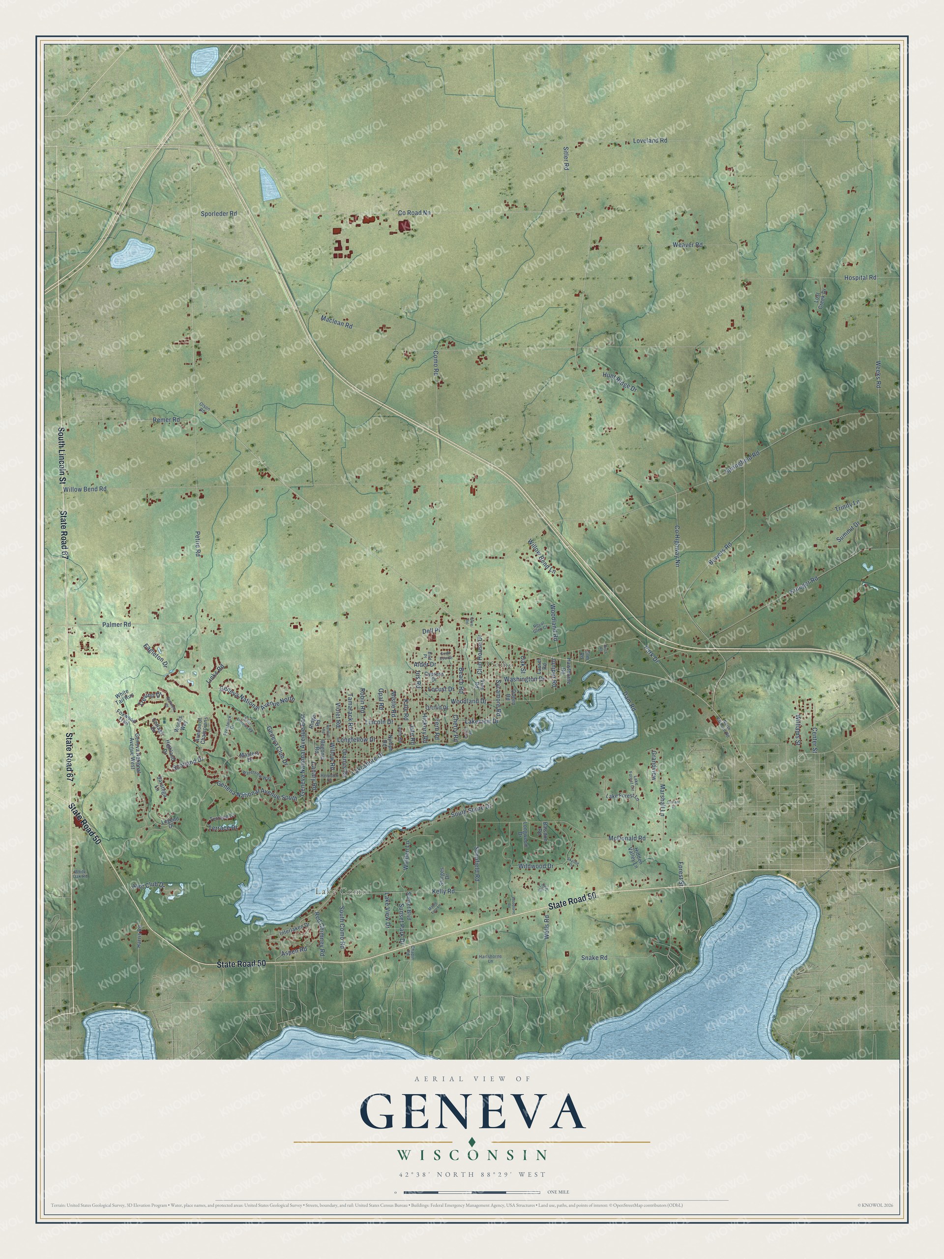
This beautifully detailed map of Geneva, Wisconsin was created in 2026 using aerial imagery combined with modern topographical, census, street and landmark data. It's a modern aerial view of Geneva in Walworth County, Wisconsin, that combines modern data with a vintage aesthetic. The roads feature printed names, and if you look closely you can find your exact house accurately shown in its correct location.
Explore an aerial view of Geneva, Wisconsin
On this map you'll find Lake Como, Como, State Road 67, State Road 50, South Lincoln Street, Co Highway Nn, Co Road Nn, Weeks Road, Springfield Road, South Como Road, Williams Street, Park Drive, and more. Each red shape is a building, so zoom in on the preview and look for yours.
Here is a piece of Geneva history, in the words of the record. The Internet Archive puts it this way: "At the first legislative naming of the towns of Walworth the southeastern
quarter of the county took its name from the lake which Mr."
Geneva is a town in Walworth County. The Census Bureau counted 5,390 people here in 2020.
Take a closer look at the Geneva map
Names on this map
These names are printed on this map.
Places: Lake Como and Como.
Streets and roads: State Road 67, State Road 50, South Lincoln Street, County Highway Nn, County Road Nn, Weeks Road, Springfield Road, South Como Road, Williams Street, Park Drive, Geneva National Avenue North, Eagleton Drive.
More street names, A to Z
Acacia Road, Alder Drive, Apricot Road, Aspen Road, Avenue of Champions, Balsdon Road, Beach Road, Begonia Road, Birch Road, Bird Place, Bowers Road, Canary Road, Center Street, Chapin Road, Cherry Road, Club House Drive, Como Road, Conant Street, Cottage Drive, Cypress Drive, Dam Road, Dell Place, Elm Road, Fern Road, Forest Street, Foxwood Trail, Genena National Avenue South, Geneva Club Drive, Geneva National Avenue East, Geneva National Avenue West, Golfview Drive, Grandview, Harris Road, Hartshorne Lane, Hawthorne Road, Hemlock Drive, Hickory Road, Hidden Valley Lane, Highland Drive, Hospital Road, Hunt Club Drive, Hunt Ridge Drive, Interlaken Drive, Iris Road, Juniper Road, Jute Road, Kale Road, Kelly Road, Krueger Road, Lake Forest Circle, Lake Forest Lane, Lakeshore Drive, Lakeview Drive, Lake View Drive, Larch Road, Laurel Road, Legend Drive, Lincoln Drive, Links Road, Locust Drive, Log Hill Drive, Longfellow Drive, Longwood Drive, Lost Creek Drive, Loveland Road, Maclean Road, Maple Tree Lane, Marshall Lane, Masters Drive, McDonald Road, Mistle Road, North Elkhorn Road, Nymph Road, Oak Street, Olive Road, Olson Road, Opal Road, Orchid Drive, Palmer Road, Petrie Road, Prestwick Drive, Queen Road, Red Chimney Road, Remer Road, Ridge Road, Robin Road, Royal Glen Court, Saint Andrews Road, Saratoga Lane, Schofield Road, Scotland Drive, Sitler Road, Skyline Drive, Snake Road, South Deer Drive, South Shore Drive, Sporleder Road, Sturges Drive, Summit Drive, Sunset Boulevard, Sunset Park Drive, Sycamore Road, Tamarack Road, Terrace Court, Terrace Drive, Trevino Drive, Trinity Lane, Uranus Road, Vine Road, Violet Road, Walden Lane, Washington Drive, Waterview Way, Weaver Road, Wells Road, White Oak Road, White Tail Run, Wildwood Drive, Willow Bend Lane, Willow Bend Road, Willow Road, Woodland Drive, Woodland Road, Woodlane Road, Woods Way.
Created by KNOWOL in 2026. The buildings are small red shapes, the roads carry their printed names, and shaded relief shows the shape of the land. The title panel reads "AERIAL VIEW OF GENEVA, WISCONSIN" with 42°38' NORTH 88°29' WEST.
It suits a den, a classroom or a front hall, and it makes a gift for anyone with Geneva roots. Open the preview and find the block you know. See sizes and frames for the Geneva map.