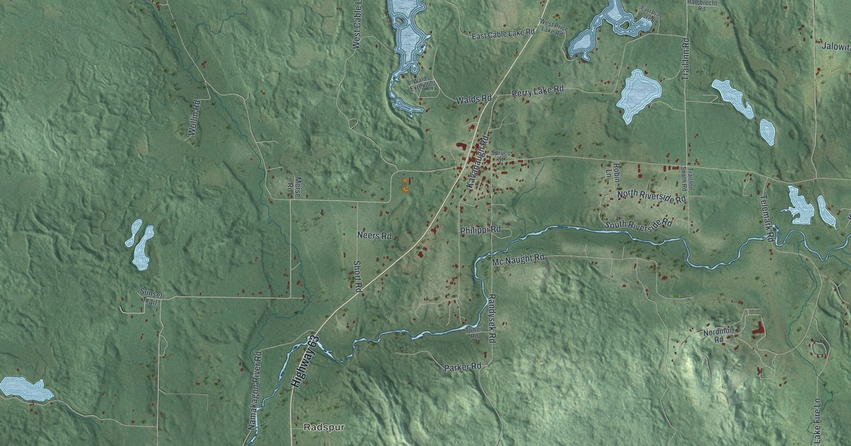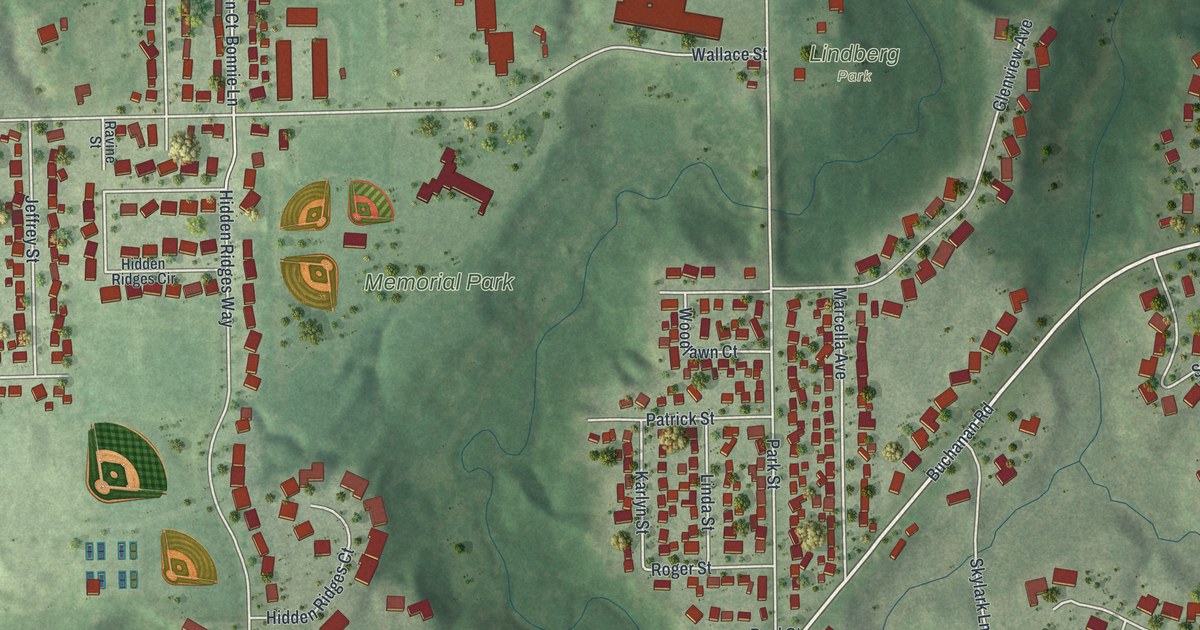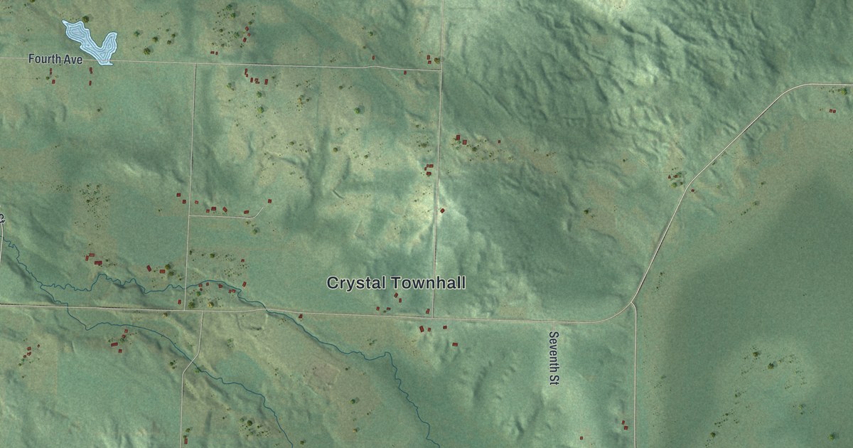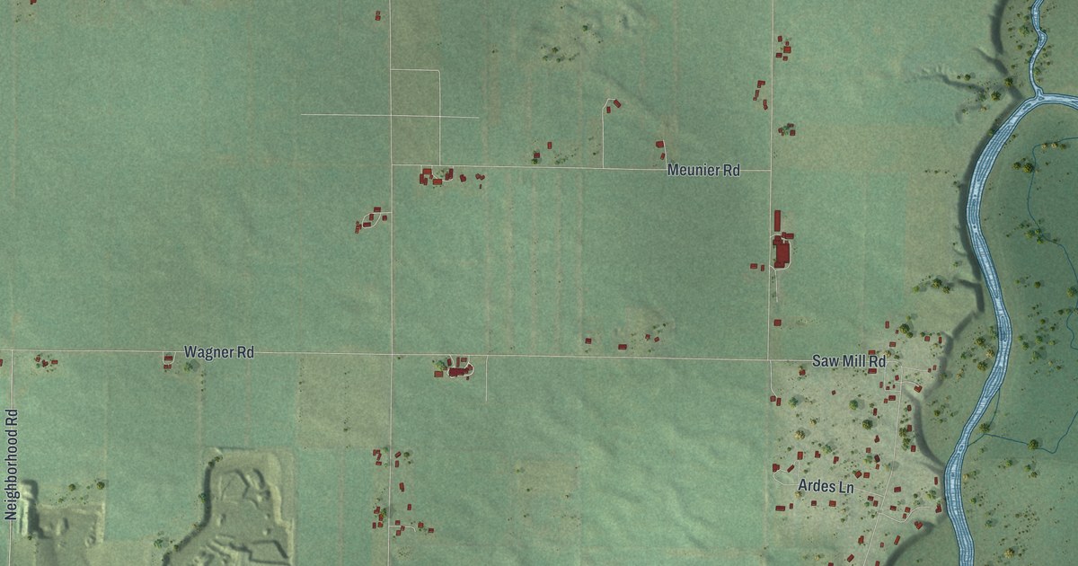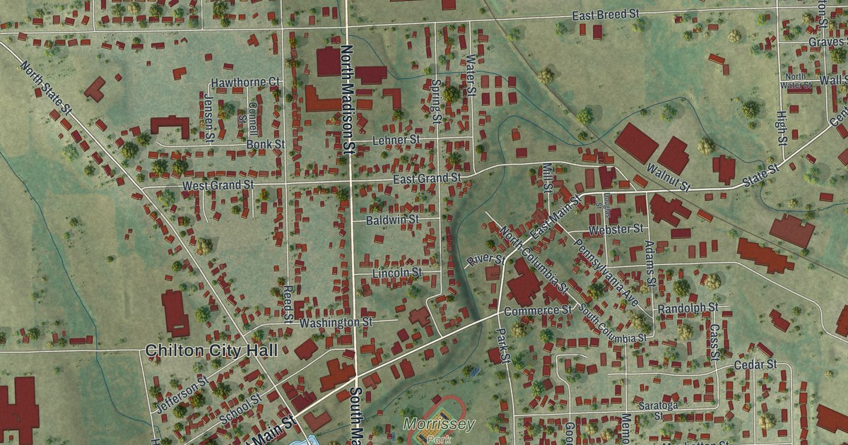
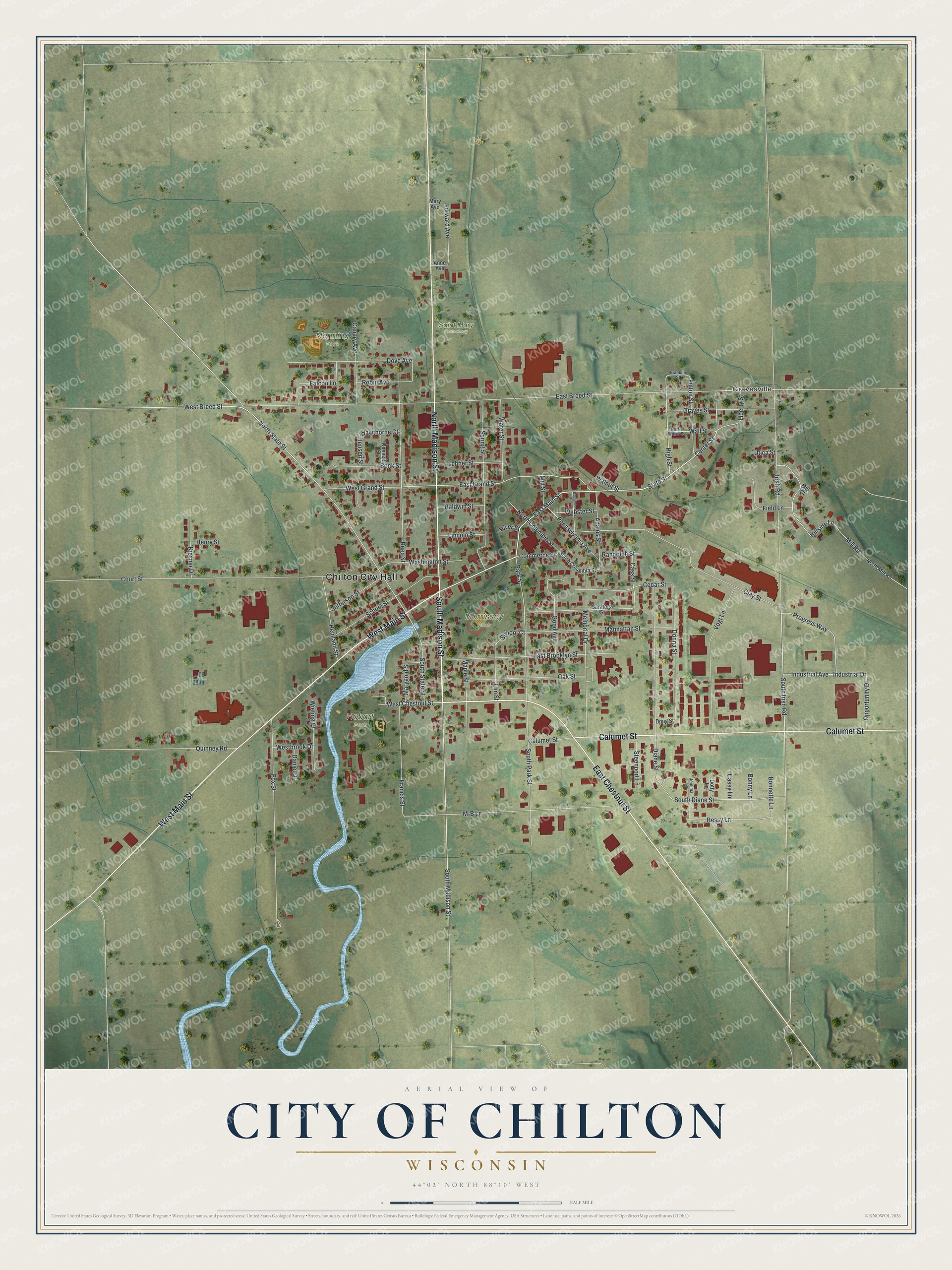
This beautifully detailed map of Chilton, Wisconsin was created in 2026 using aerial imagery combined with modern topographical, census, street and landmark data. It's a modern aerial view of Chilton in Calumet County, Wisconsin, that combines modern data with a vintage aesthetic. The roads feature printed names, and if you look closely you can find your exact house accurately shown in its correct location.
Explore an aerial view of Chilton, Wisconsin
On this map you'll find Chilton City Hall, Gravesville, Hobart Park, Morrissey Park, Nenning Park, Saint Mary Cemetery, South Madison Street, West Main Street, North Madison Street, East Chestnut Street, Calumet Street, East Main Street, and more. Each red shape is a building, so zoom in on the preview and look for yours.
Chilton is a city in Calumet County. The Census Bureau counted 4,080 people here in 2020. The map prints the town name in its title panel, with the coordinates below it.
Take a closer look at the Chilton map
Names on this map
These names are printed on this map.
Places: Chilton City Hall, Gravesville, Hobart Park, Morrissey Park, Nenning Park and Saint Mary Cemetery.
Streets and roads: South Madison Street, West Main Street, North Madison Street, East Chestnut Street, Calumet Street, East Main Street, State Street, West Chestnut Street, Center Street, High Street, Irish Road, South Irish Road.
More street names, A to Z
Adams Street, Anne Avenue, Baldwin Street, Bessy Lane, Bonk Street, Bonnette Lane, Bonny Lane, Canary Avenue, Cass Street, Cassy Lane, Cedar Street, Clay Street, Commerce Street, Connell Street, Court Street, Daniel Drive, Diane Street, Donna Street, Dotty Lane, Douglas Street, Doug Street, Dove Avenue, East Breed Street, East Brooklyn Street, East Grand Street, Elm Street, Falcon Lane, Field Lane, Forward Avenue, Fox Street, Francis Street, Franklin Street, Fulton Street, Good Avenue, Graves Street, Hawthorne Court, Heimann Street, Henry Street, Hillside Lane, Industrial Avenue, Industrial Drive, Jefferson Street, Jemima Lane, Jensen Street, Kiesner Drive, Lehner Street, Liberty Street, Lincoln Street, M-B Lane, Manhattan Street, Maple Street, Mary Avenue, Marygold Street, Memorial Drive, Mill Court, Mill Road, Mill Street, North Columbia Street, North Mill Road, North State Street, North Water Street, Oak Street, Opportunity Drive, Park Street, Pennsylvania Avenue, Progress Way, Quinney Road, Randolph Street, Reed Street, River Street, Robin Avenue, Saratoga Street, School Court, School Street, South Columbia Street, South Diane Street, South Park Street, South State Street, Spring Street, Steenport Lane, Utica Street, Vogt Lane, Wall Street, Walnut Street, Washington Street, Water Street, Webster Street, West Breed Street, Westbrook Drive, West Grand Street, Wieting Court.
Created by KNOWOL in 2026. The buildings are small red shapes, the roads carry their printed names, and shaded relief shows the shape of the land. The title panel reads "AERIAL VIEW OF CITY OF CHILTON, WISCONSIN" with 44°02' NORTH 88°10' WEST.
It suits a den, a classroom or a front hall, and it makes a gift for anyone with Chilton roots. Open the preview and find the block you know. See sizes and frames for the Chilton map.