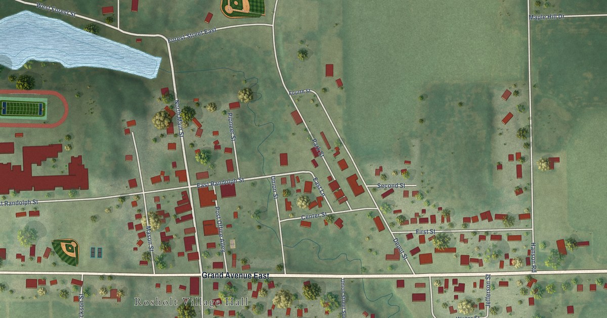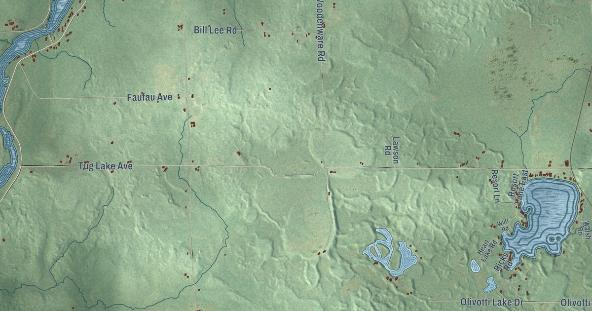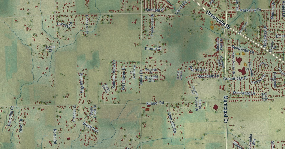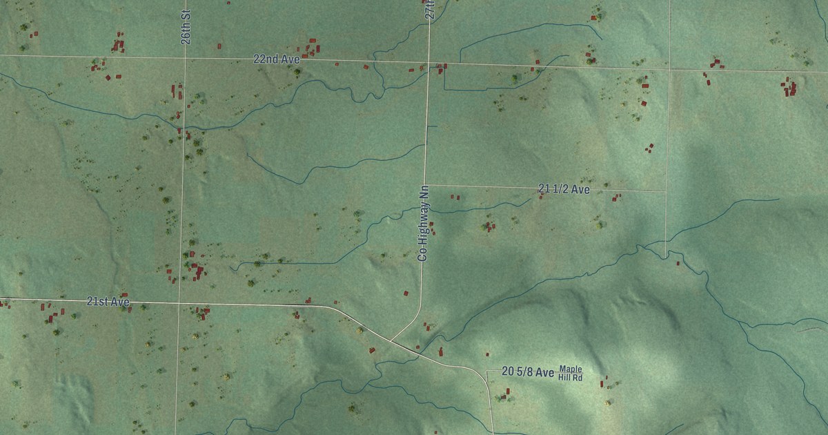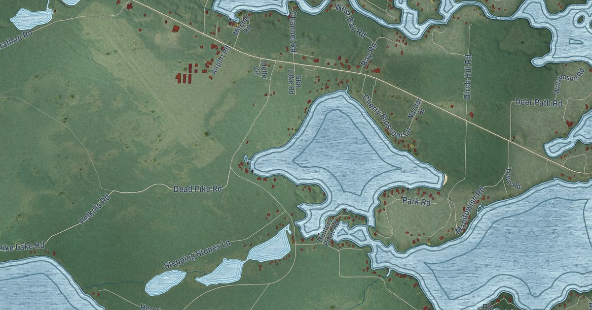
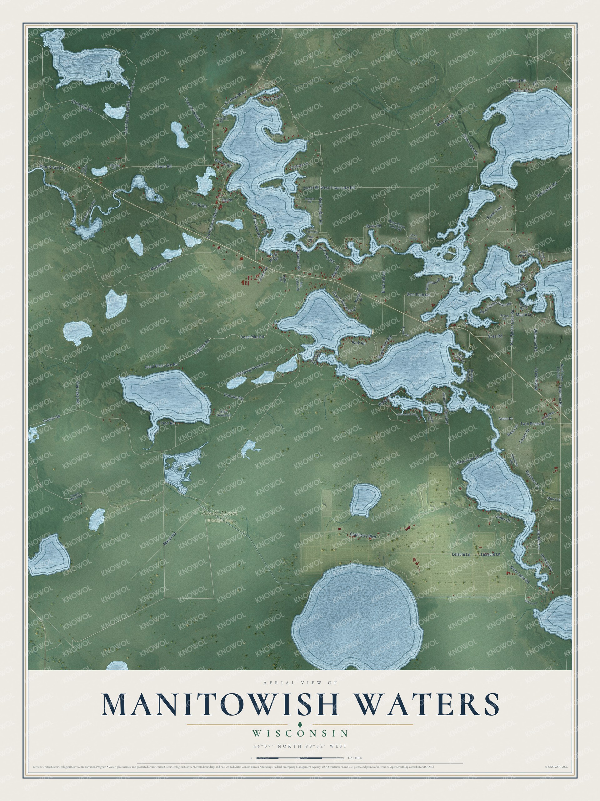
This beautifully detailed map of Manitowish Waters, Wisconsin was created in 2026 using aerial imagery combined with modern topographical, census, street and landmark data. It's a modern aerial view of Manitowish Waters in Vilas County, Wisconsin, that combines modern data with a vintage aesthetic. The roads feature printed names, and if you look closely you can find your exact house accurately shown in its correct location.
Explore an aerial view of Manitowish Waters, Wisconsin
On this map you'll find Powell Marsh Wildlife Area, Fawn Trail, Forest Drive, Clear Lake Road, Pine Lane, Rest Lake Road, Dead Pike Lake Road, Dead Pike Road, Powell Road, Alder Lake Road, Marsh Road, Townline Road, and more. Each red shape is a building, so zoom in on the preview and look for yours.
Here is a piece of Manitowish Waters history, in the words of the record. The Manitowish Waters Historical Society puts it this way: "The Manitowish Waters Fish Hatchery created a new game fish, and proudly claims to be, The Home of the Tiger Musky!"
Manitowish Waters is a town in Vilas County. The Census Bureau counted 624 people here in 2020.
Take a closer look at the Manitowish Waters map
Names on this map
These names are printed on this map.
Places: Powell Marsh Wildlife Area.
Streets and roads: Fawn Trail, Forest Drive, Clear Lake Road, Pine Lane, Rest Lake Road, Dead Pike Lake Road, Dead Pike Road, Powell Road, Alder Lake Road, Marsh Road, Townline Road, Marathon Road.
More street names, A to Z
30-30 Road, Airport Road, Alder Circle, Alder Park Road, Archery Road, Aspen Drive, Avenue of Birches, Balsams Road, Bay Road, Benson Lake Road, Birch Hill Road, Bluebird Point Road, Blue Goose Drive, Campbell Road, Channel Road, Cherne Road, Cherry Blossom Lane, Circle Lily Road, County Highway West, County Road West, Cranberry Boulevard, Deer Park Road, Deer Path Road, Divine Road, Dog Lake Road, East Circle Lily Road, East Lily Road, East Shore Road, East Spider Lake Road, Eight O'Clock, Haskins Road, Hello Circle, Hoosier Road, Hunters Point Road, Ilg Road, Johnson Road, Lavigne Road, Leasure Lane, Leisure Lane, Little Manitowish Road, Loveless Lane, Man-R-Acc Road, Manitou Drive, Manitowish Road, Maple Lane, Maple Road, McFarlin Road, McIlvan Road, Mitchel Road, Nazdar Drive, North Town Line Road, Oak Street, Park Road, Pelkola Road, Petri Road, Pier Lake Road, Powell Marsh Road, Rainbow Lane, Rainbow Road, Red Feather Road, Rintleman Road, Rita Lane, River Road, Route 27, Sennet Road, Spider Lake Road, Star Lake Road, Stepping Stones Lane, Stone Lake Road, Tower Road, Town Road, Town Road 86, Transfer Station Road, Twin Pines Road, Voss Road, Wahoo Road, Weber Road, West Bay Road, West Fawn Lake Road, West Spider Lake Road, West Stone Lake Road, Wildwood Drive, Wildwood Road, Williamson Road, Wind Point Road, Younger Road, Zenner Lane.
Created by KNOWOL in 2026. The buildings are small red shapes, the roads carry their printed names, and shaded relief shows the shape of the land. The title panel reads "AERIAL VIEW OF MANITOWISH WATERS, WISCONSIN" with 46°07' NORTH 89°52' WEST.
It suits a den, a classroom or a front hall, and it makes a gift for anyone with Manitowish Waters roots. Open the preview and find the block you know. See sizes and frames for the Manitowish Waters map.