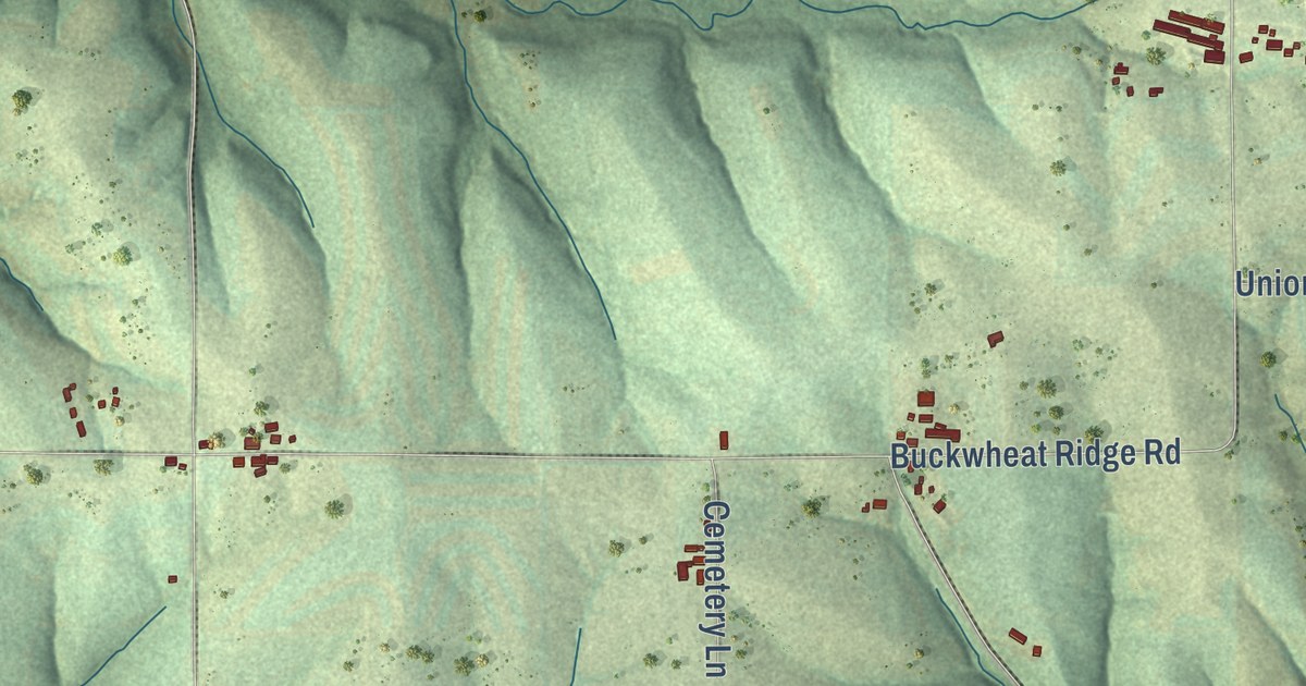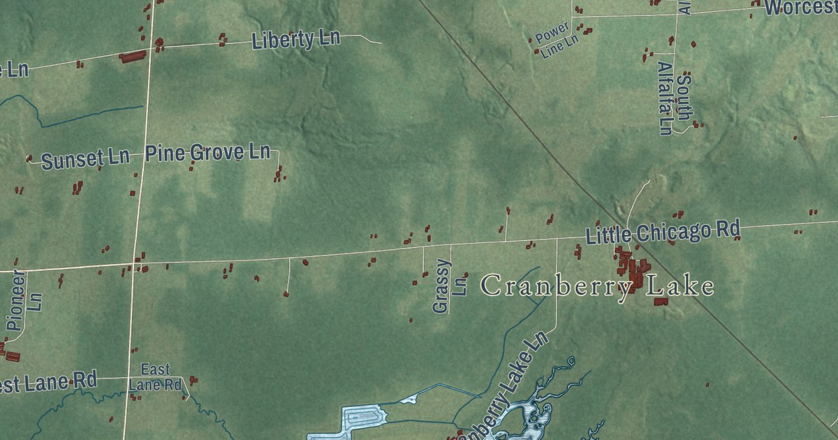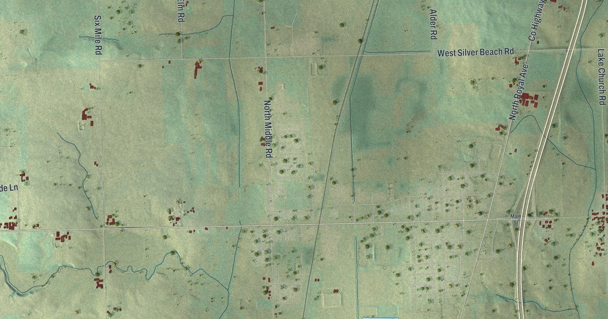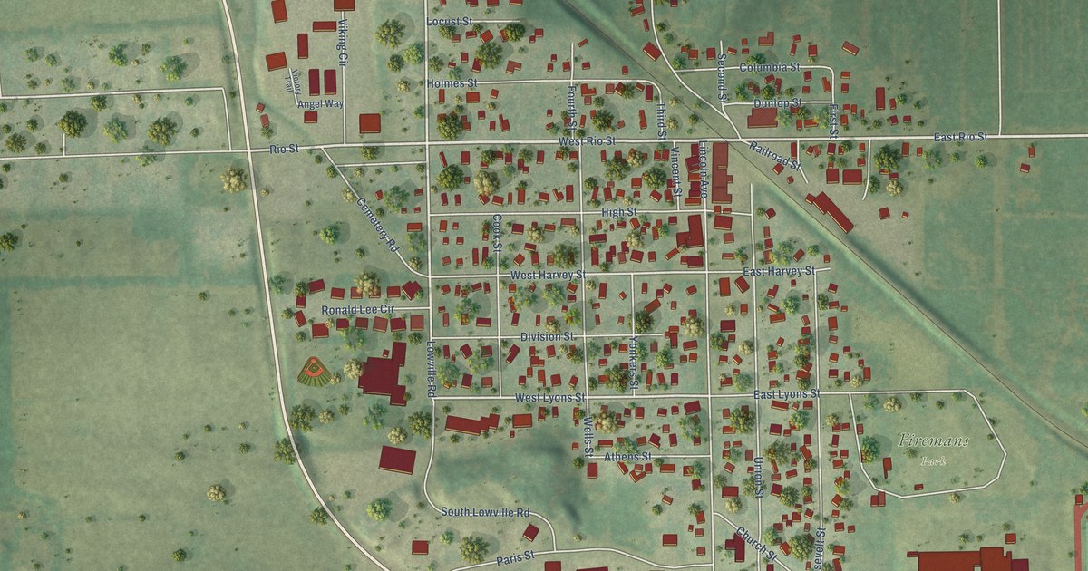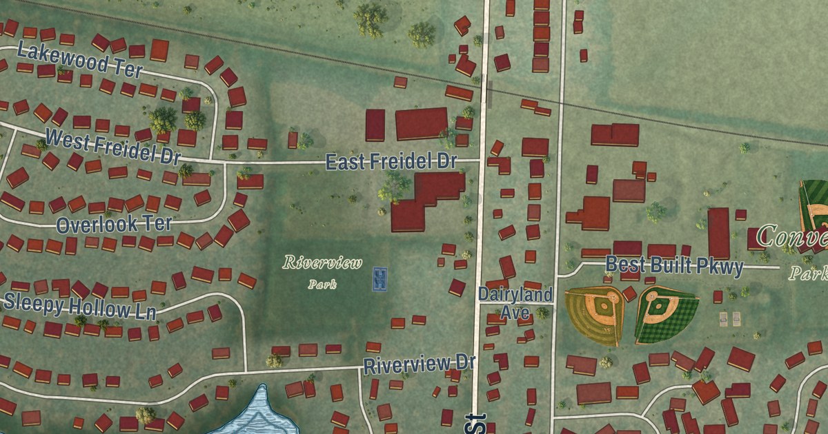
This beautifully detailed map of Marshall, Wisconsin was created in 2026 using aerial imagery combined with modern topographical, census, street and landmark data. It’s a one-of-a-kind view of Marshall that combines accurate data with a vintage aesthetic. The map shows every building in its true location, many of the roads carry their names, and the shaded topographic relief shows the shape of the land.
Explore an aerial view of Marshall, Wisconsin
On the map you’ll find Charles Langer Family Park, Converse Park, Fireman’s Park, Riley-Deppe County Park, Deerhaven Park, and Riverview Park, along with East Main Street, Hubbell Street, Deerfield Road, West Main Street, Madison Street, West Freidel Drive, and more. If you look closely you can even find your house accurately drawn in its correct location. Zoom in on the preview to look for yours.
Did you know this piece of Marshall, Wisconsin history?
From A History of Madison: "The village of Marshall is located on Waterloo creek, on sections 10 and 15. The town was first settled about 1846."
Looking for a different Marshall? Wisconsin also has Marshall in Richland County and Marshall in Rusk County.
Take a closer look at the Marshall map
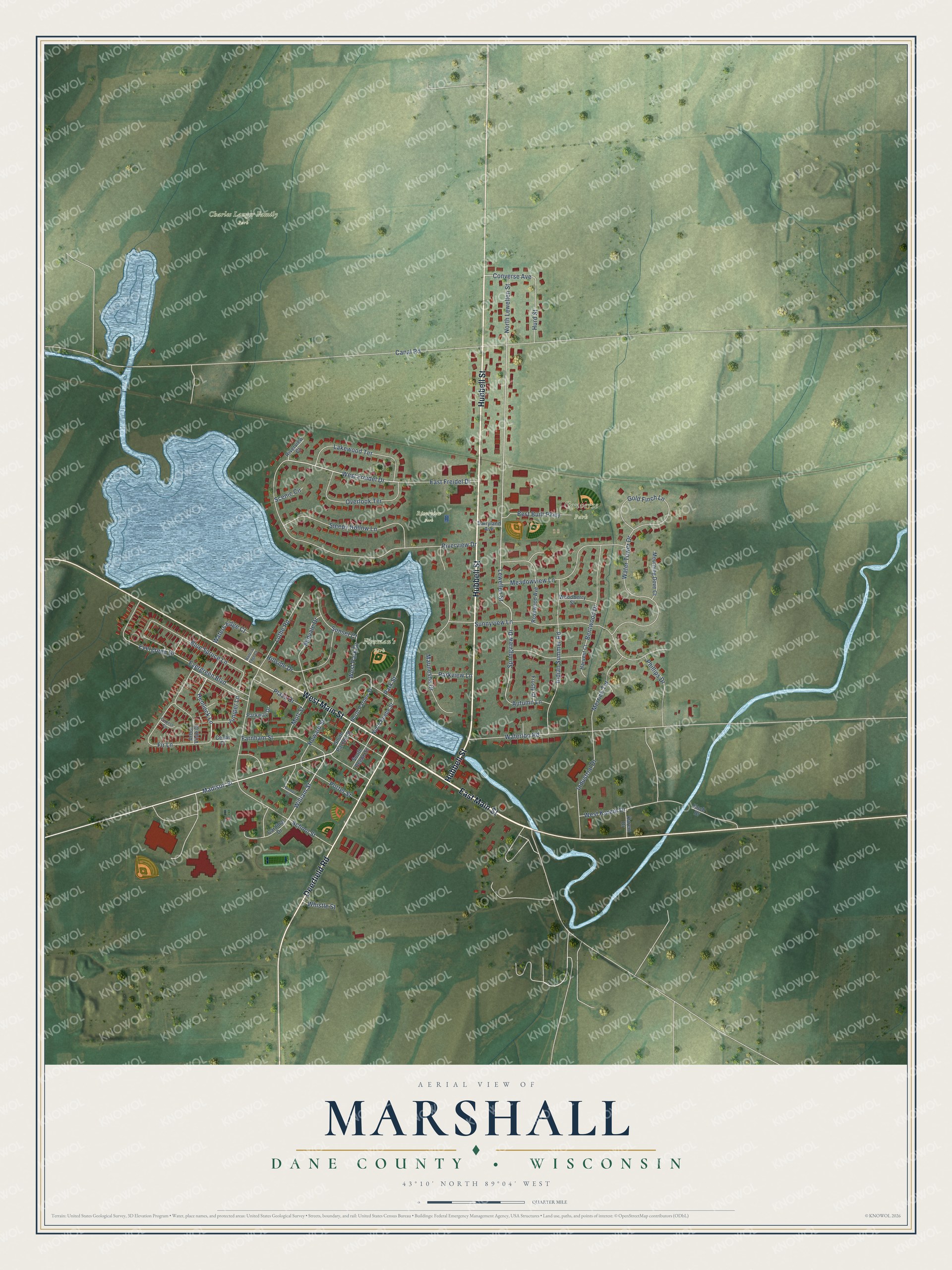
Street and place names on the Marshall, Wisconsin map
These names are printed on the map of Marshall, Wisconsin.
Places: Charles Langer Family Park, Converse Park, Fireman's Park and Riverview Park.
Streets and roads: East Main Street, Hubbell Street, Deerfield Road, West Main Street, Madison Street, West Freidel Drive, William Street, Hemlock Lane, Evergreen Drive, Lewellen Street, Springview Drive, Converse Avenue.
More street names, A to Z
Arbor Vitae Drive, Autumn Lane, Bentwood Drive, Best Built Parkway, Blue Spruce Lane, Canal Road, Cardinal Drive, Cedar Court, Cypress Circle, Dairyland Avenue, East Freidel Drive, Evergreen Boulevard, Farnham Street, Fir Lane, Frosty Court, Gold Finch Lane, Harvest Court, Herman Street, Hillside Drive, Howard Street, Hurd Street, Indian Summer Road, Industrial Drive, Juniper Lane, Karem Drive, Koch Drive, Lakewood Terrace, Lothe Road, Maunesha Drive, Meadowview Lane, Merrick Terrace, Midvale Drive, Motl Street, Mourning Dove Court, North Beebe Street, North Lewellen Street, North Pardee Street, Overlook Terrace, Park Street, Parkview Lane, Parkway Drive, Phillips Drive, Plaza Drive, Porter Street, Riverview Court, Riverview Drive, Rosewood Avenue, Scenic Circle, School Street, Sleepy Hollow Lane, South Beebe Street, South Pardee Street, Sunnyview Lane, Sunset Court, Water's Edge Court, Waterloo Road, Waters Edge Court, Water Tower Drive, West Karem Drive, West Park Drive, Whistle Street, Woodberry Street.
See the Marshall, Wisconsin map on a wall
The Marshall, Dane County map as an 18 x 24 inch print in a black frame.

This beautifully detailed map of Marshall, Dane County makes an attractive addition to your office, library, or den, and it can even be used to teach children the geography and history of the area. It also makes a great gift for anyone who grew up in Marshall or moved away. When you’re done exploring, click here to get your copy of the Marshall, Dane County map.