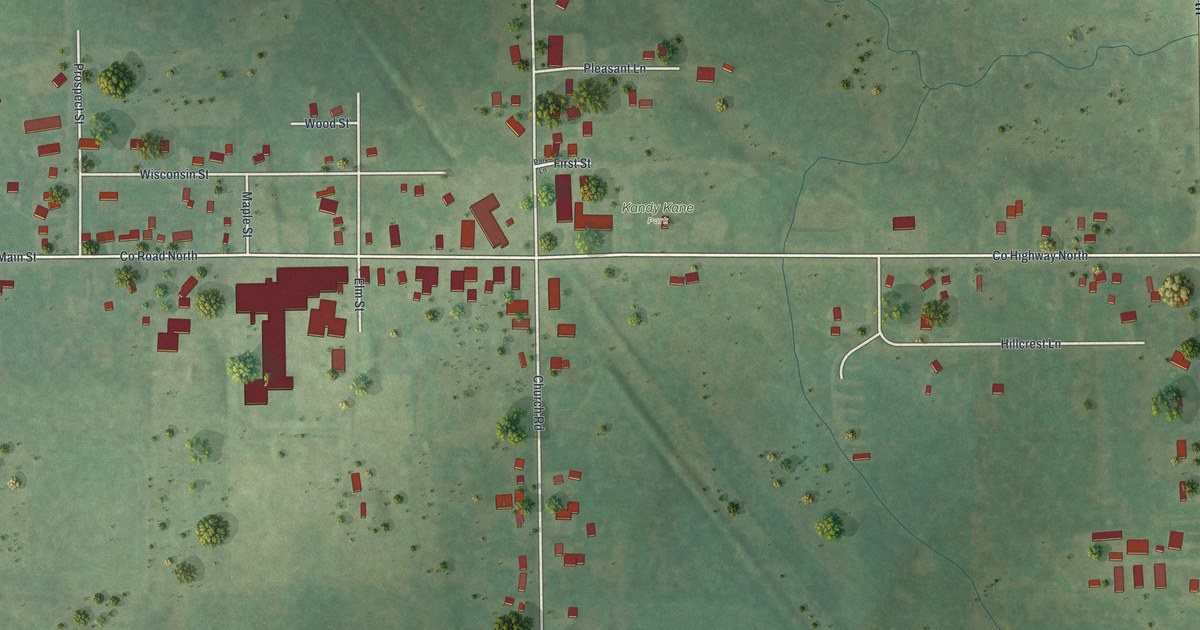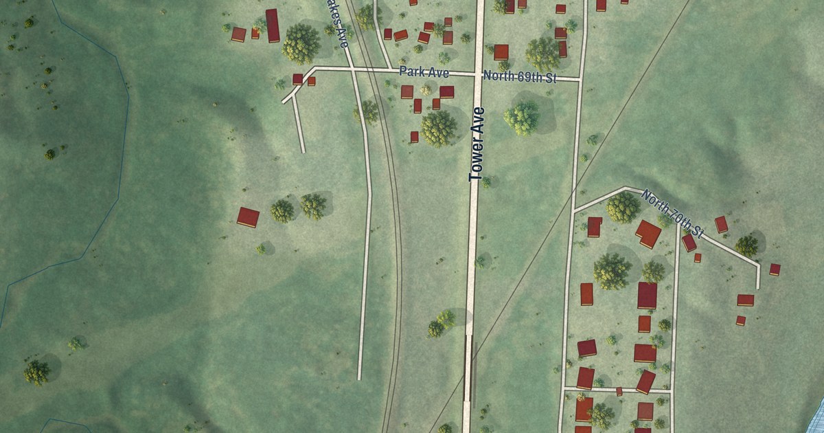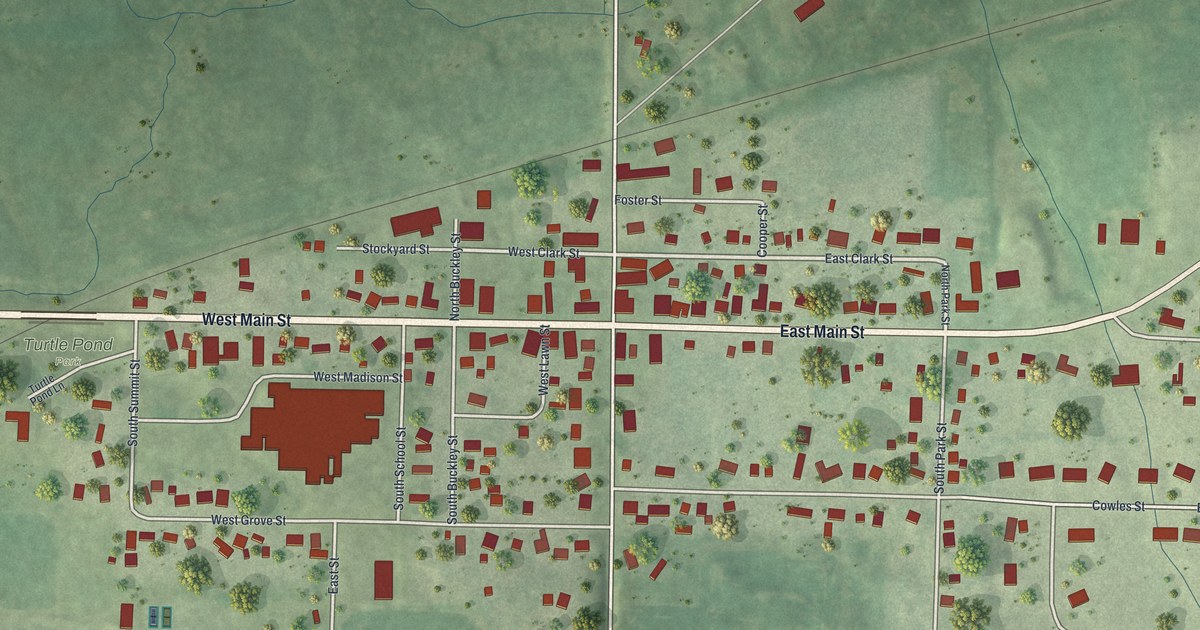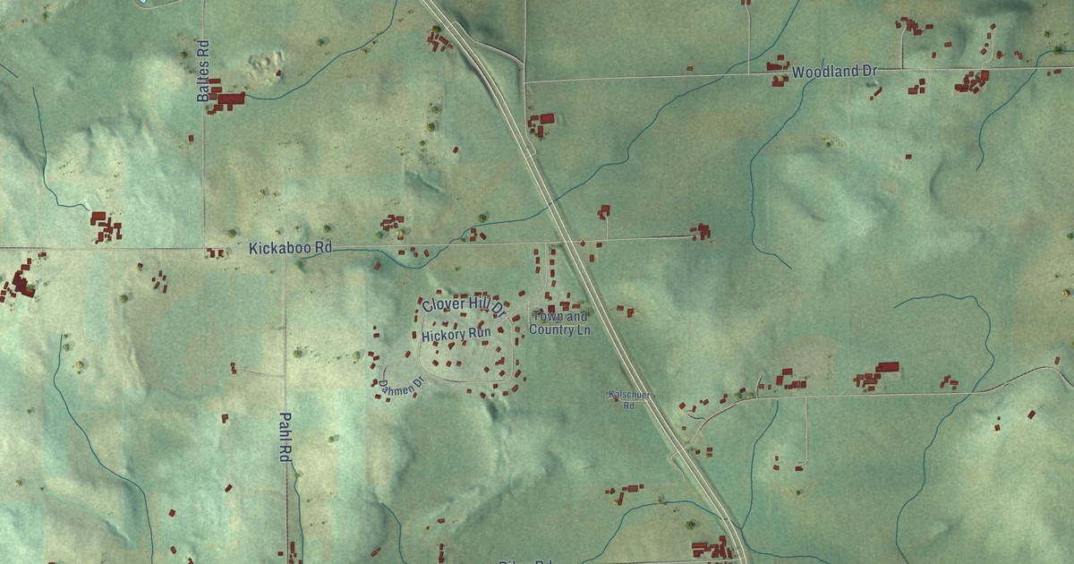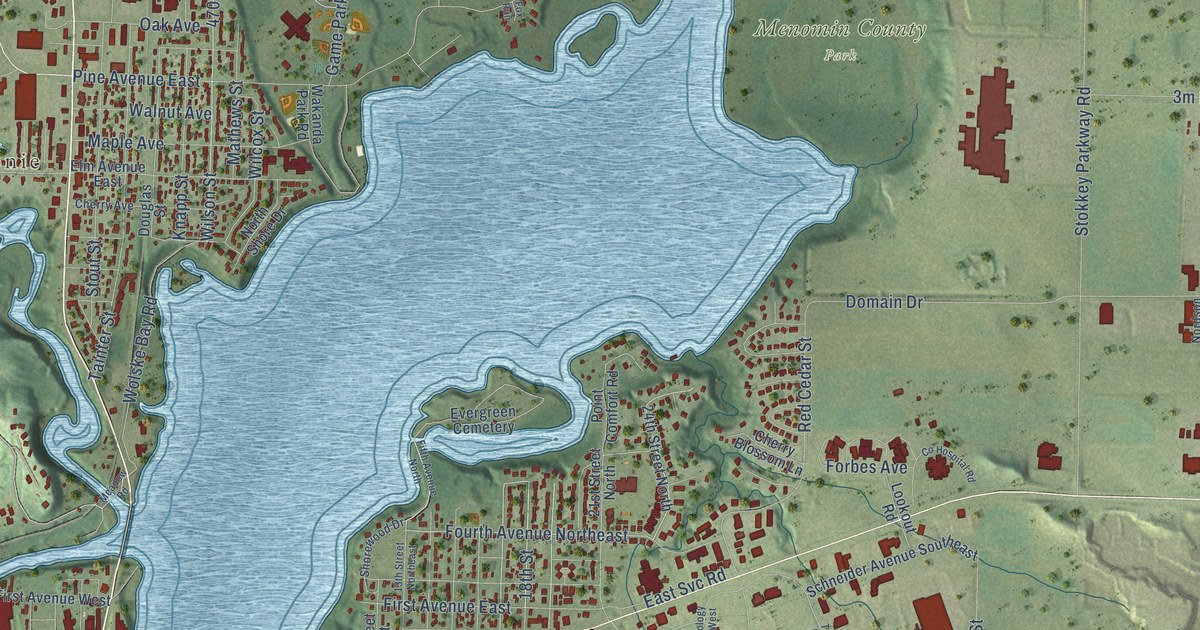
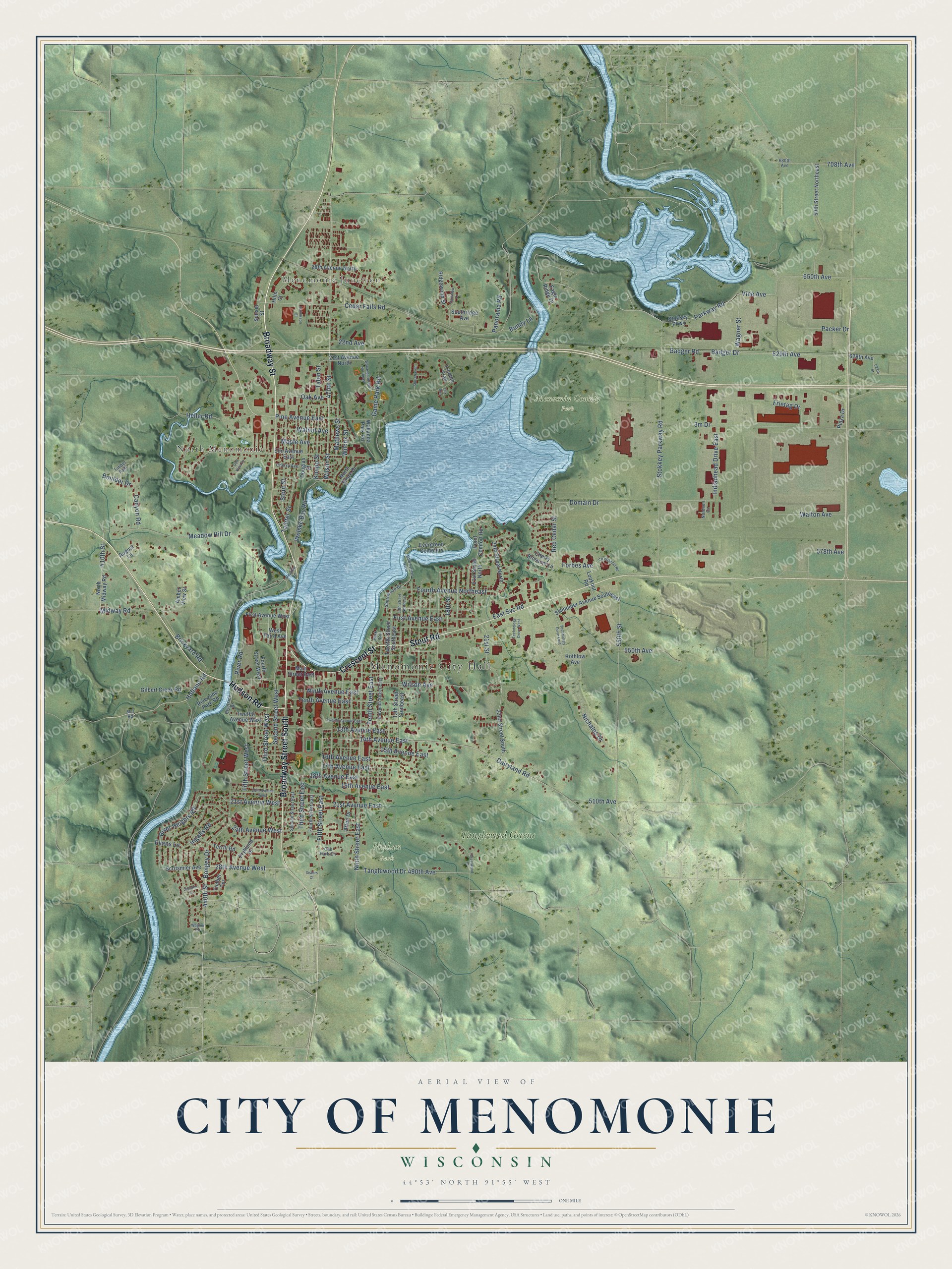
This beautifully detailed map of Menomonie, Wisconsin was created in 2026 using aerial imagery combined with modern topographical, census, street and landmark data. It's a modern aerial view of Menomonie in Dunn County, Wisconsin, that combines modern data with a vintage aesthetic. The roads feature printed names, and if you look closely you can find your exact house accurately shown in its correct location.
Explore an aerial view of Menomonie, Wisconsin
On this map you'll find Menomonie City Hall, Menomonie Junction, North Menomonie, Menomin County Park, Phelan Park, Tanglewood Greens, Broadway Street, Broadway Street South, Hudson Road, Crescent Street, Stout Road, 490th Avenue, and more. Each red shape is a building, so zoom in on the preview and look for yours.
Every town has a first chapter, and Menomonie is no exception. The U.S. Geological Survey puts it this way: "Became the county seat of Dunn County on 1 January 1861.Incorporated in 1882."
Menomonie is a city in Dunn County. The Census Bureau counted 16,843 people here in 2020.
Take a closer look at the Menomonie map
Names on this map
These names are printed on this map.
Places: Menomonie City Hall, Menomonie Junction, North Menomonie, Menomin County Park, Phelan Park, Tanglewood Greens and Evergreen Cemetery.
Streets and roads: Broadway Street, Broadway Street South, Hudson Road, Crescent Street, Stout Road, 490th Avenue, Third Street West, 17th Avenue East, Hofland Road, 28th Avenue West, 440th Street, Meadow Hill Drive.
More street names, A to Z
13th Avenue East, 13th Street Northeast, 13th Street Southeast, 14th Avenue East, 15th Avenue East, 16th Avenue East, 18th Avenue East, 18th Street, 19th Avenue East, 20th Avenue West, 21st Avenue East, 21st Avenue North, 21st Avenue West, 21st Street, 21st Street North, 22nd Avenue, 22nd Street South, 24th Avenue West, 24th Street North, 28th Avenue North, 59th Street Northeast, 410th Street, 470th Street, 510th Avenue, 550th Avenue, 550th Street, 578th Avenue, 628th Avenue, 628th Street, 629th Avenue, 650th Avenue, 680th Avenue, 708th Avenue, Afton Drive, Amber View Street, August Lane, Badger Drive, Badger Road, Bongey Drive, Boulder Drive, Brickyard Road, Bundy Lane, Canyon Road, Cedar Falls Road, Cherry Avenue, Cherry Blossom Lane, Co Hospital Road, Crestwood Drive, Dairyland Road, Domain Drive, Douglas Street, Eagle Ridge Drive, East Svc Road, Eleventh Street East, Elm Avenue East, Evans Lane, Fifth Avenue North, Fifth Street East, Fifth Street West, First Avenue East, First Avenue West, Forbes Avenue, Fourth Avenue Northeast, Fourth Street East, Fourth Street West, Fox Run, Frietag Drive, Fryklund Drive, Game Park Road, Gilbert Creek Road, Golf View Drive, Halvorson Street, Heller Road, Hills Court, Indianhead Drive East, Ingalls Road, Jennifer Lane, Knapp Street, Kothlow Avenue, Lookout Road, Main Street East, Maple Avenue, Mathews Street, Meadow Road, Midway Road, Mill Road, Nichalos Drive, Ninth Avenue East, Ninth Street East, Nordson Circle, North Midway Road, North Shore Drive, Oak Avenue, Oak Park Circle, Packer Drive, Panorama Road, Park Circle, Parkview Lane, Parkway Road, Pine Avenue East, Plaza Drive, Point Comfort Road, Red Cedar Street, Ridgewood Street, River Heights Road, River Road, Riverside Drive, Riverside Park Road, Schneider Avenue Southeast, Scritsmier Avenue, Second Street East, Second Street West, Shorehaven, Shorewood Drive, Sisters Court, Southridge Avenue, Stokkey Parkway, Stokkey Parkway Road, Stout Street, Sunset Street, Tainter Street, Talen Street, Tanglewood Drive, Technology Drive East, Technology Drive West, Tenth Avenue East, Tenth Street East, Terrill Road, Third Street East, Timber Path, Timber Terrace, Trimble Trail, Twelfth Avenue East, Twelfth Avenue West, Twelfth Street Southeast, Vine Avenue, Wagner Road, Wagner Street, Wakanda Park Road, Wakanda Street Northeast, Walnut Avenue, Walton Avenue, West Third Avenue, Wilcox Street, Wilson Avenue, Wilson Street, Wolske Bay Road.
Created by KNOWOL in 2026. The buildings are small red shapes, the roads carry their printed names, and shaded relief shows the shape of the land. The title panel reads "AERIAL VIEW OF CITY OF MENOMONIE, WISCONSIN" with 44°53' NORTH 91°55' WEST.
Hang it in the hallway, the office or the cabin, or give it to someone who left Menomonie and still calls it home. Open the preview and look for a street you know. See sizes and frames for the Menomonie map.