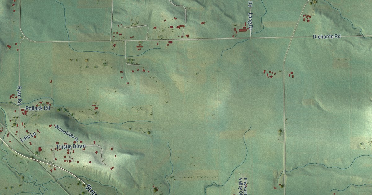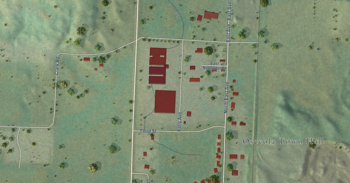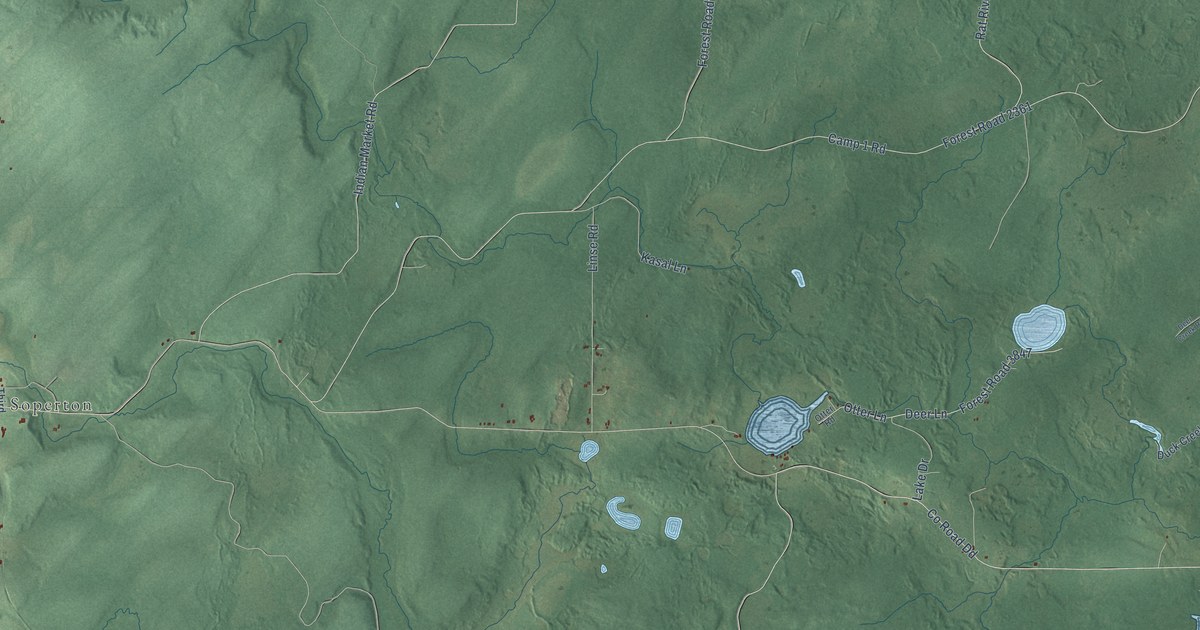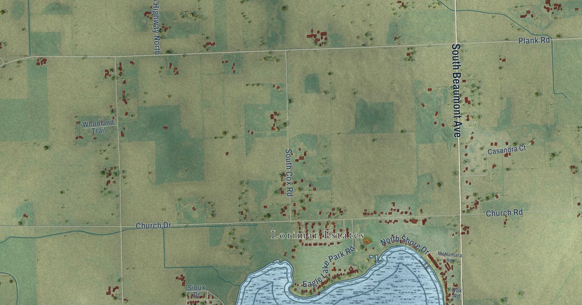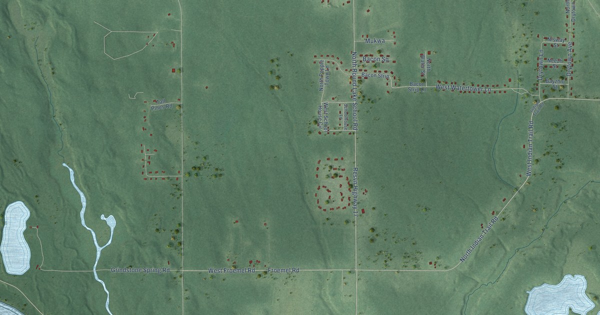
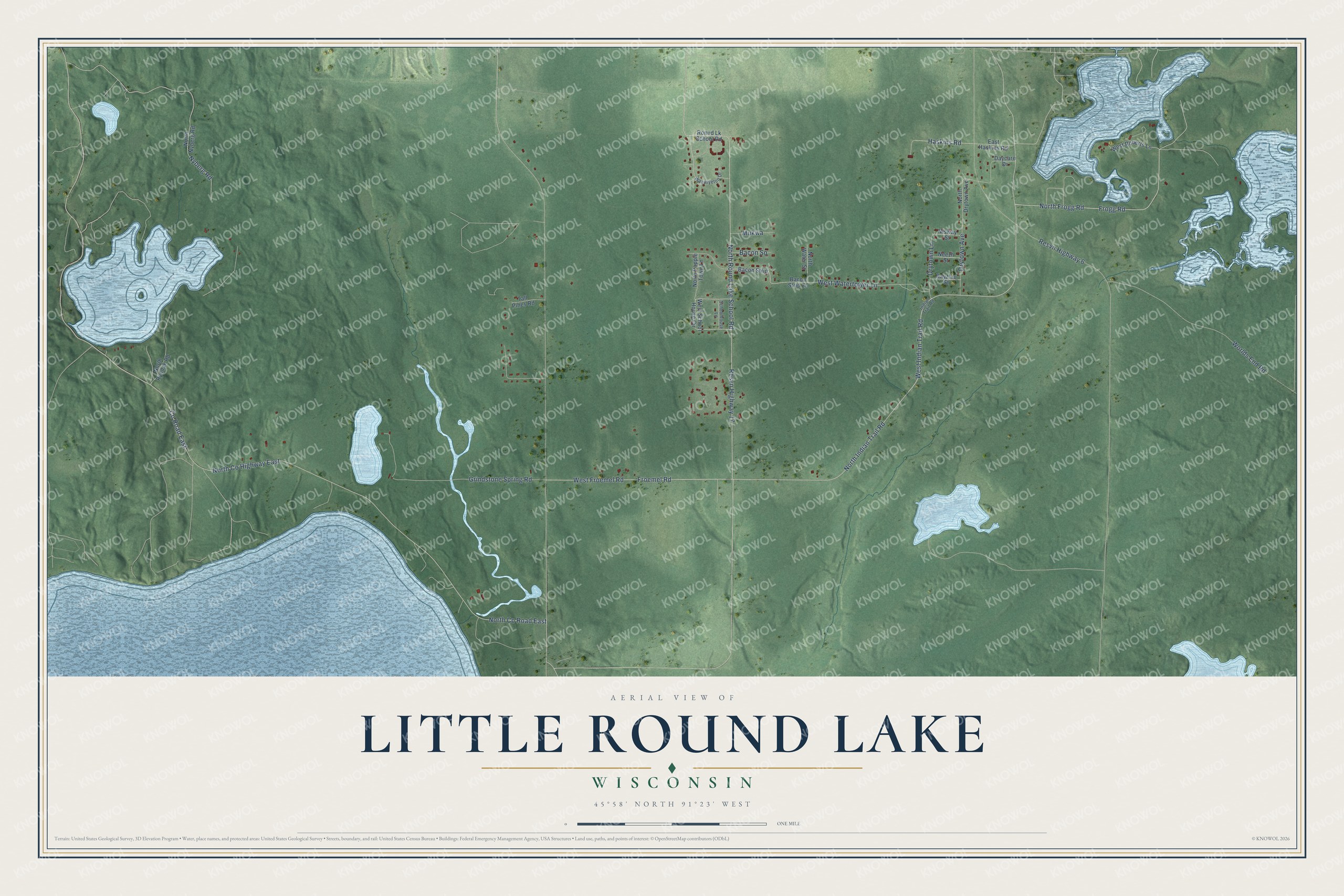
This beautifully detailed map of Little Round Lake, Wisconsin was created in 2026 using aerial imagery combined with modern topographical, census, street and landmark data. It's a modern aerial view of Little Round Lake in Sawyer County, Wisconsin, that combines modern data with a vintage aesthetic. The roads feature printed names, and if you look closely you can find your exact house accurately shown in its correct location.
Explore an aerial view of Little Round Lake, Wisconsin
On this map you'll find West Indian Trail Road, Frogg Road, North Indian Trail Road, Resvn Highway 17, North Round Lake School Road, Froemel Road, West Froemel Road, West Watertower Lane, North Co Road East, Co Road East, Haskins Road, North Co Highway East, and more. Each red shape is a building, so zoom in on the preview and look for yours.
Here is a piece of Little Round Lake history. Eldon Marple remembered that as a boy, when he heard drums on a rainy afternoon, he walked down the old Chippewa road to the village at Little Round Lake. There John Frogg, Paul Carroll and Ka-ge-gabe presided on feast days, and his family was always welcome. Two women once ran a mission school at Little Round Lake for Native children. That's from the Hayward area historian Eldon Marple.
Little Round Lake is a community in Sawyer County. The Census Bureau counted 1,242 people here in 2020.
Take a closer look at the Little Round Lake map
Names on this map
These names are printed on this map.
Streets and roads: West Indian Trail Road, Frogg Road, North Indian Trail Road, Resvn Highway 17, North Round Lake School Road, Froemel Road, West Froemel Road, West Watertower Lane, North County Road East, County Road East, Haskins Road, North County Highway East.
More street names, A to Z
Bacon Square, Bacon Strip, Bacon Strip Lane, Bayzhiu Street, Daycare Drive, Drytown Avenue, Drytown Lane, East Haskins Road, Grindstone Spring Road, Indian Trail Road, Mukwa, Neezh Street, Nisway Street, North Drytown Avenue, North Frogg Road, North Nyberg Road, North Popple Town Lane, North Ryndak Road, North Water Street, Nyberg Road, Resvn Highway 6, Ronud Lk School Road, Schoolhouse Lane, Tall Pines Road, Waawiyetoo Drive, West Roberts Lane, West School House Circle, Worlds End Road.
See it on a wall
The Little Round Lake map as a framed print. Swipe for more.


Created by KNOWOL in 2026. The buildings are small red shapes, the roads carry their printed names, and shaded relief shows the shape of the land. The title panel reads "AERIAL VIEW OF LITTLE ROUND LAKE, WISCONSIN" with 45°58' NORTH 91°23' WEST.
It suits a den, a classroom or a front hall, and it makes a gift for anyone with Little Round Lake roots. Open the preview and find the block you know. See sizes and frames for the Little Round Lake map.