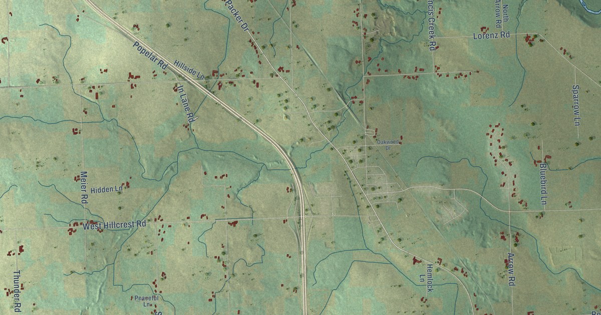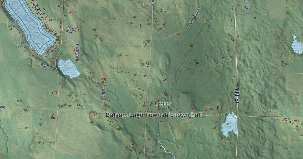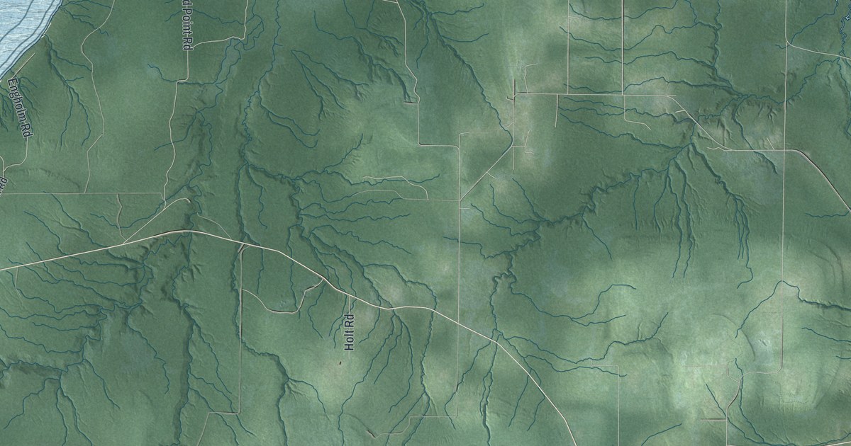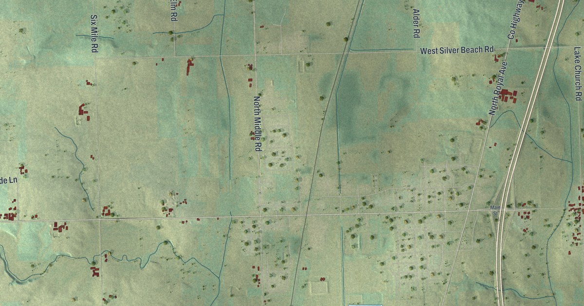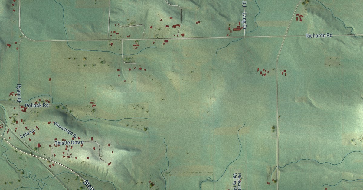
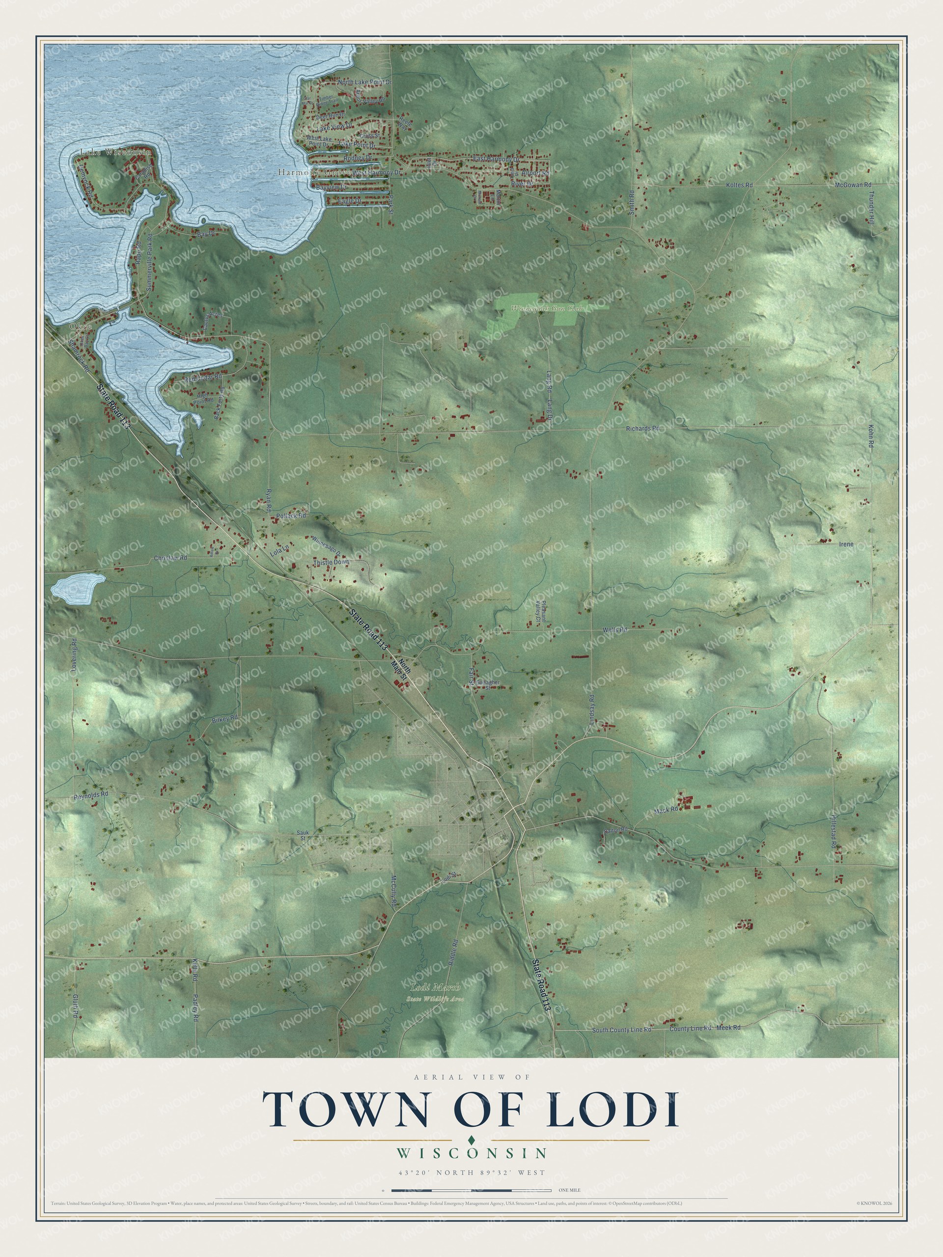
This beautifully detailed map of Lodi, Wisconsin was created in 2026 using aerial imagery combined with modern topographical, census, street and landmark data. It's a modern aerial view of Lodi in Columbia County, Wisconsin, that combines modern data with a vintage aesthetic. The roads feature printed names, and if you look closely you can find your exact house accurately shown in its correct location.
Explore an aerial view of Lodi, Wisconsin
On this map you'll find Lake Wisconsin, Okee, Harmony Grove, Lodi Marsh State Wildlife Area, Winnequah Gun Club, State Road 113, County Line Road, Meek Road, East Harmony Drive, Ryan Road, Richards Road, Reynolds Road, and more. Each red shape is a building, so zoom in on the preview and look for yours.
Lodi is a town in Columbia County. The Census Bureau counted 3,282 people here in 2020. The map prints the town name in its title panel, with the coordinates below it.
Take a closer look at the Lodi map
Names on this map
These names are printed on this map.
Places: Lake Wisconsin, Okee, Harmony Grove, Lodi Marsh State Wildlife Area and Winnequah Gun Club.
Streets and roads: State Road 113, County Line Road, Meek Road, East Harmony Drive, Ryan Road, Richards Road, Reynolds Road, South County Line Road, Hillestad Road, Kohn Road, Summerville Park Road, Chrislaw Road.
More street names, A to Z
Adlaw Drive, Airport Road, Arbor Valley Road, Back Forty Road, Bay Drive, Bayview Drive, Bilkey Road, Cactus Acres, Clar Mar Drive, Cross Street, Dalton Road, Deer Run Drive, Demynck Road, Eagle Drive, Fair Street, Gallagher Street, Gluth Road, High Point Road, Inlet Drive, Irene, Kelly Road, Koltes Road, Lake Point Drive, Lake View Drive, Lang Drive, Lang Road, Lindsay Road, Lodi Street, Lola Lane, Lovering Road, Mack Road, Martin Lane, McCully Road, McGowan Road, Michael Drive, North Lake Point Drive, North Main Street, Okee Bay Court, Padley Road, Paradise Road, Park Street, Pleasant Valley Court, Pollack Road, Rapp Road, Red Cedar Road, Reefe Way, Riddle Road, River Drive, Rodney Drive, Sauk Street, Shamrock Road, Smith Road, Thistle Down, Thunder Hill, Timber Ridge Trail, Tonja Drive, Wells Road, West Harmony Drive, West Lake Point Drive, Winnebago Drive.
Created by KNOWOL in 2026. The buildings are small red shapes, the roads carry their printed names, and shaded relief shows the shape of the land. The title panel reads "AERIAL VIEW OF TOWN OF LODI, WISCONSIN" with 43°20' NORTH 89°32' WEST.
Hang it in the hallway, the office or the cabin, or give it to someone who left Lodi and still calls it home. Open the preview and look for a street you know. See sizes and frames for the Town of Lodi map.