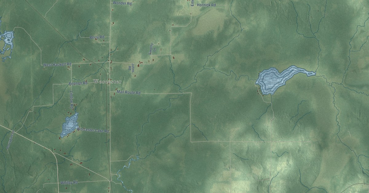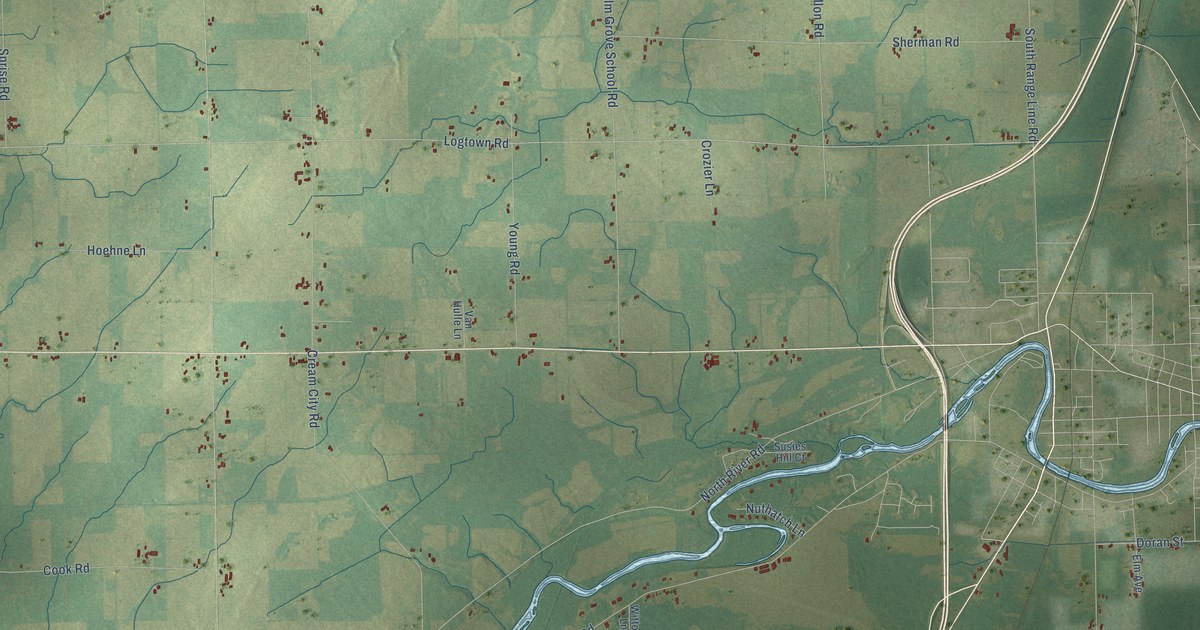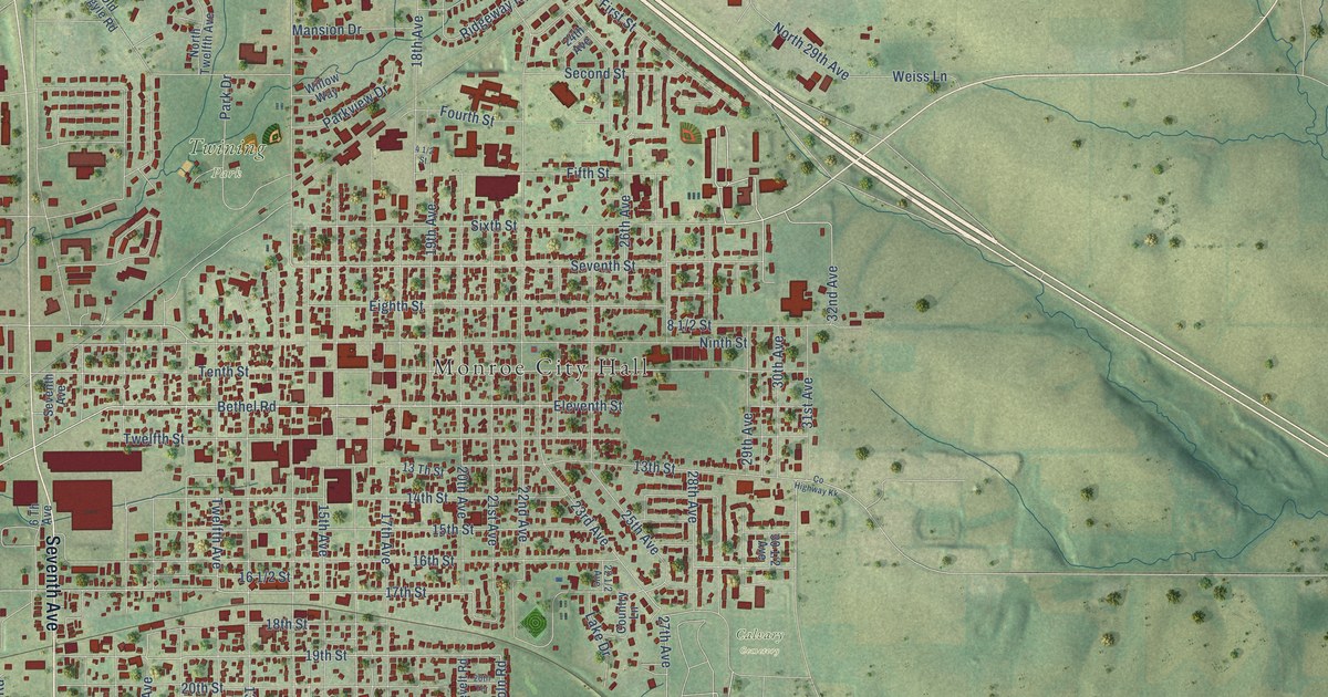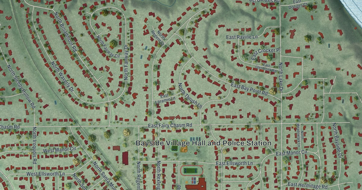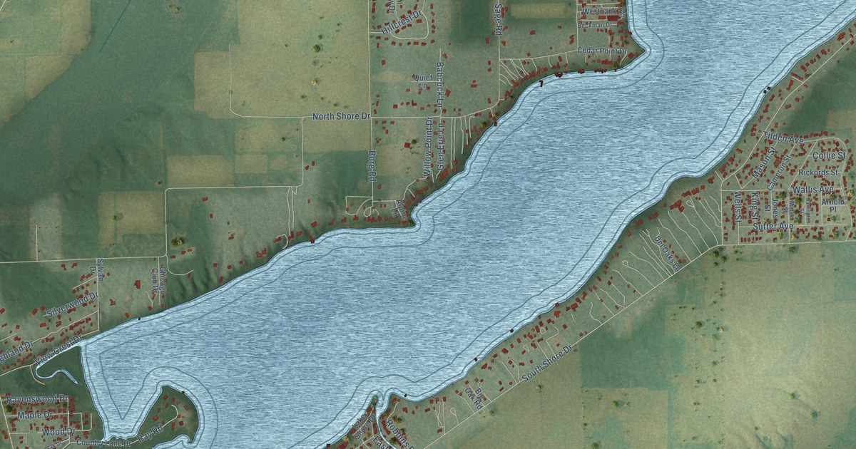
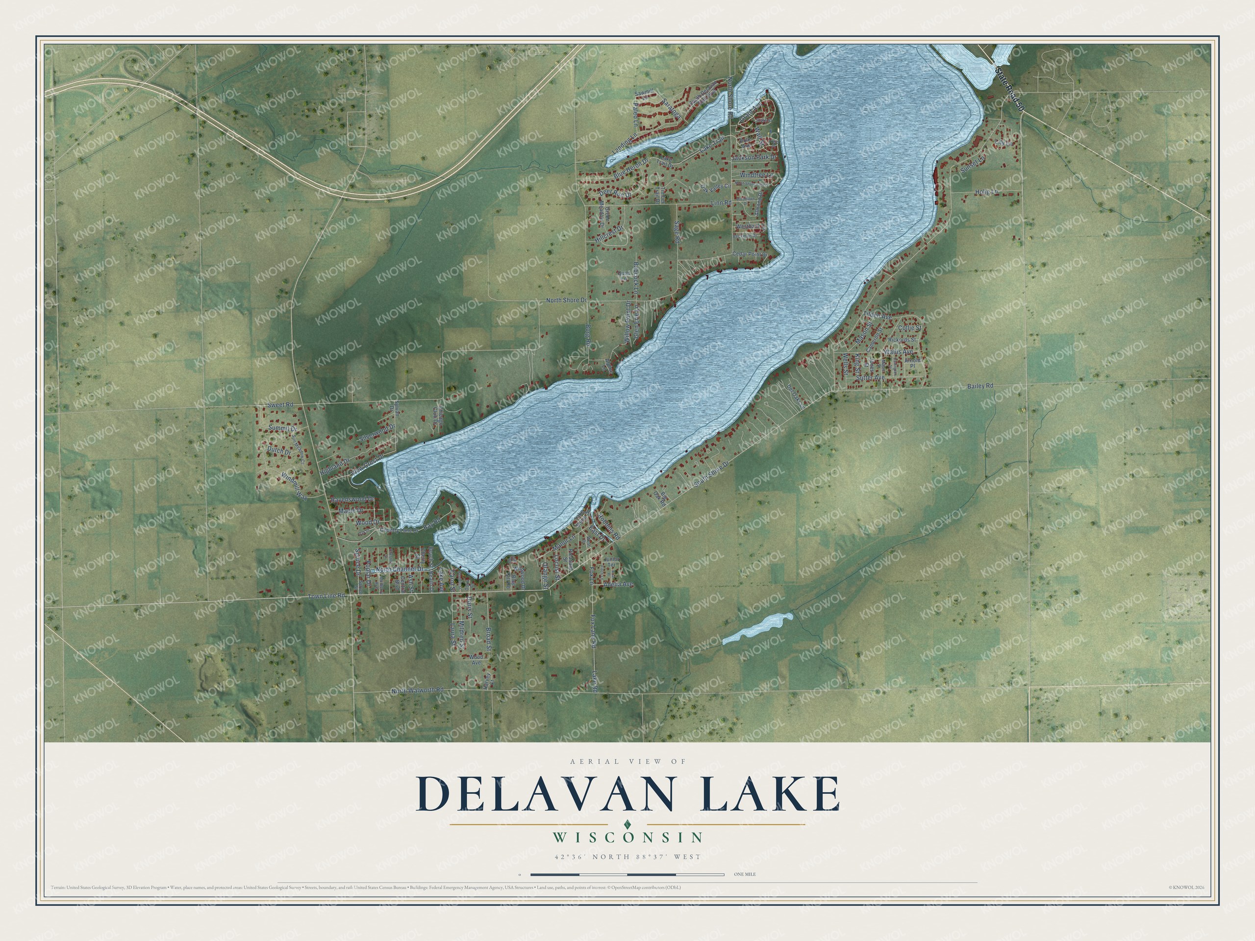
This beautifully detailed map of Delavan Lake, Wisconsin was created in 2026 using aerial imagery combined with modern topographical, census, street and landmark data. It's a modern aerial view of Delavan Lake in Walworth County, Wisconsin, that combines modern data with a vintage aesthetic. The roads feature printed names, and if you look closely you can find your exact house accurately shown in its correct location.
Explore an aerial view of Delavan Lake, Wisconsin
On this map you'll find State Road 50, South Shore Drive, Town Line Road, Paleo Lane, Grant Avenue, Fox Lane, Saratoga, Wood Drive, North Channel Drive, Broad Street, North Shore Drive, North Walworth Road, and more. Each red shape is a building, so zoom in on the preview and look for yours.
Every town has a first chapter, and Delavan Lake is no exception. Frank Lloyd Wright designed five summer houses on Delavan Lake between 1900 and 1905, among them the A. P. Johnson House. It is said that when Wright rode up the dirt driveway on horseback to check the last of the work and saw the house painted white, he rode away and never returned. Family tradition says Johnson rented one of the Wright cottages on the lake one summer and hired Wright to design his own house the next. That's from the National Register of Historic Places.
Delavan Lake is a community in Walworth County. The Census Bureau counted 2,803 people here in 2020.
Take a closer look at the Delavan Lake map
Names on this map
These names are printed on this map.
Streets and roads: State Road 50, South Shore Drive, Town Line Road, Paleo Lane, Grant Avenue, Fox Lane, Saratoga, Wood Drive, North Channel Drive, Broad Street, North Shore Drive, North Walworth Road.
More street names, A to Z
Adelia Avenue, Almond Drive, Alpine Lane, Arnold Place, Ash Street, Babcock Lane, Bailey Road, Bay Road, Beach Drive, Beach Street, Beckman Drive, Bennett Street, Big Oak Road, Blue Gill Road, Blue Heron Drive, Borg Road, Briar Place, Cameron Street, Carol Street, Cedar Point Drive, Central Boulevard, Cherry Street, Chestnut Street, Chicago Club Drive, Collie Street, Country Lane Drive, Darlington Street, Deer Run Drive, Del Oaks Lane, Doris Court, Doris Street, Dutch Drive, East Drive, Field Place, Finch Lane, Fox Lane Road, Gill Court, Glen Erie Lane, Green Meadow Drive, Harvey Court, Highland Drive, Hillcrest Drive, Holig Lane, Jackson Park Drive, Jones Street, Junior Terrace, King Street, Lake Avenue, Lake Road, Lake Shore Drive, Lake Trail, Lake Trail Drive, Landing Lane, Laura Street, Lily Lane, Linn Road, Locust Street, Mabie Street, Manor Lane, Maple Drive, Mason Street, Mildred Street, Mulberry Avenue, North Shore Park Lane, North Shore Road, Oak Drive, Oak Valley Circle, Orange Street, Pleasant Street, Polk Avenue, Poplar Drive, Quiet Lane, Ravenswood Drive, Rickords Street, Robbins Road, Sage Road, Sawmill Lane, Silverwood Drive, South Delavan Club Boulevard, Spruce Drive, Spruce Street, State Street, Summit Drive, Sun Meadow Court, Sunset Lane, Sutter Avenue, Sweet Road, Sylvan Drive, Tilden Avenue, Timber Trail Drive, View Crest Drive, Wallis Avenue, Wall Street, Wells Street, Westbank Circle, West Drive, Wildwood Drive, Willow Point Drive, Windmill Way, Windtree Lane, Wood Avenue, Woodlawn Drive.
See it on a wall
The Delavan Lake map as a framed print. Swipe for more.


Created by KNOWOL in 2026. The buildings are small red shapes, the roads carry their printed names, and shaded relief shows the shape of the land. The title panel reads "AERIAL VIEW OF DELAVAN LAKE, WISCONSIN" with 42°36' NORTH 88°37' WEST.
Hang it in the hallway, the office or the cabin, or give it to someone who left Delavan Lake and still calls it home. Open the preview and look for a street you know. See sizes and frames for the Delavan Lake map.