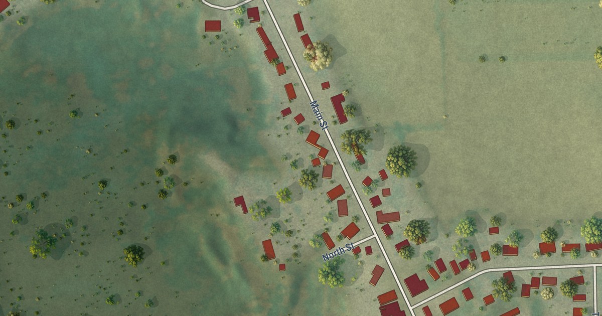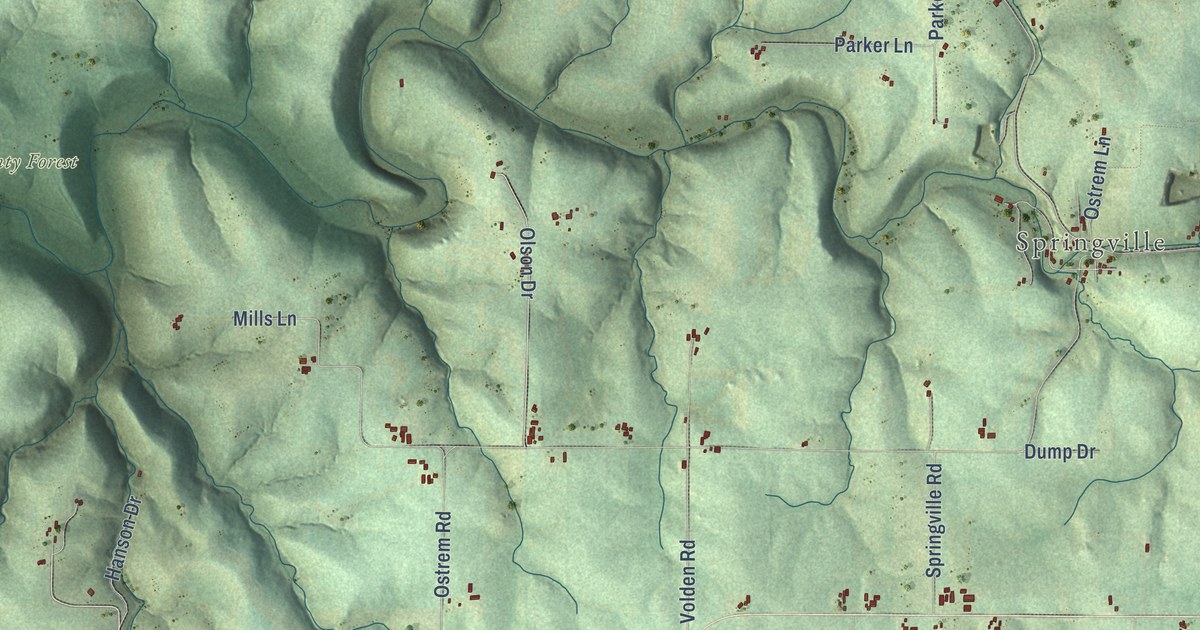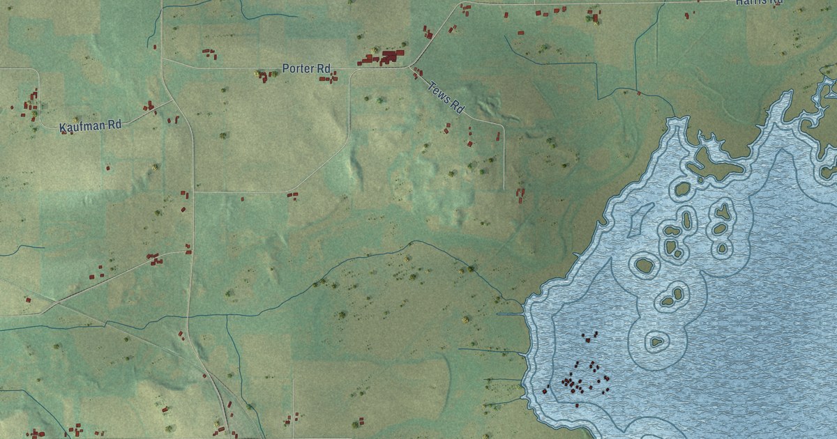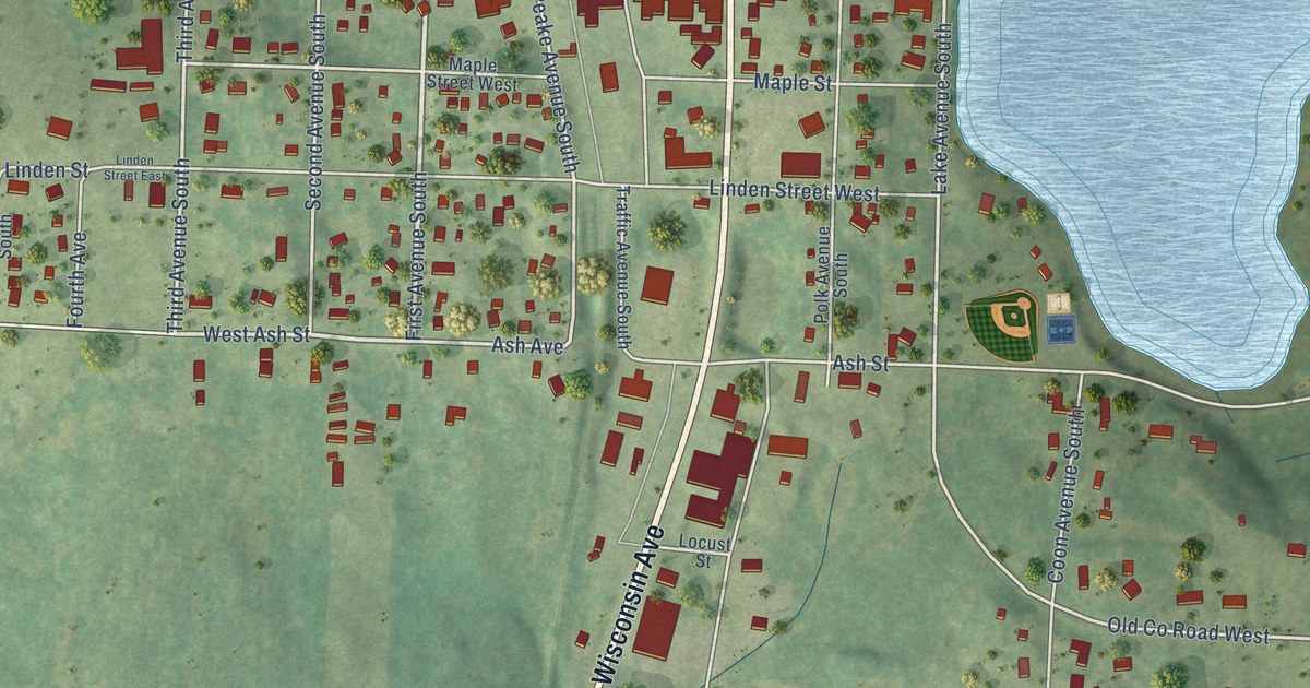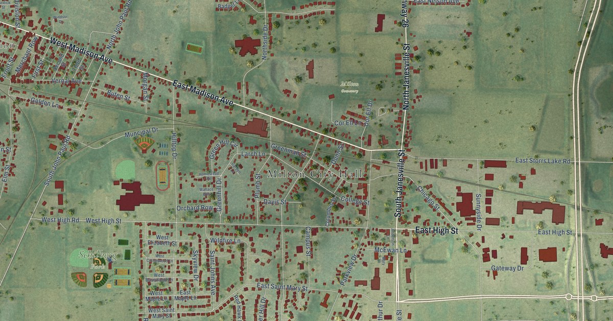
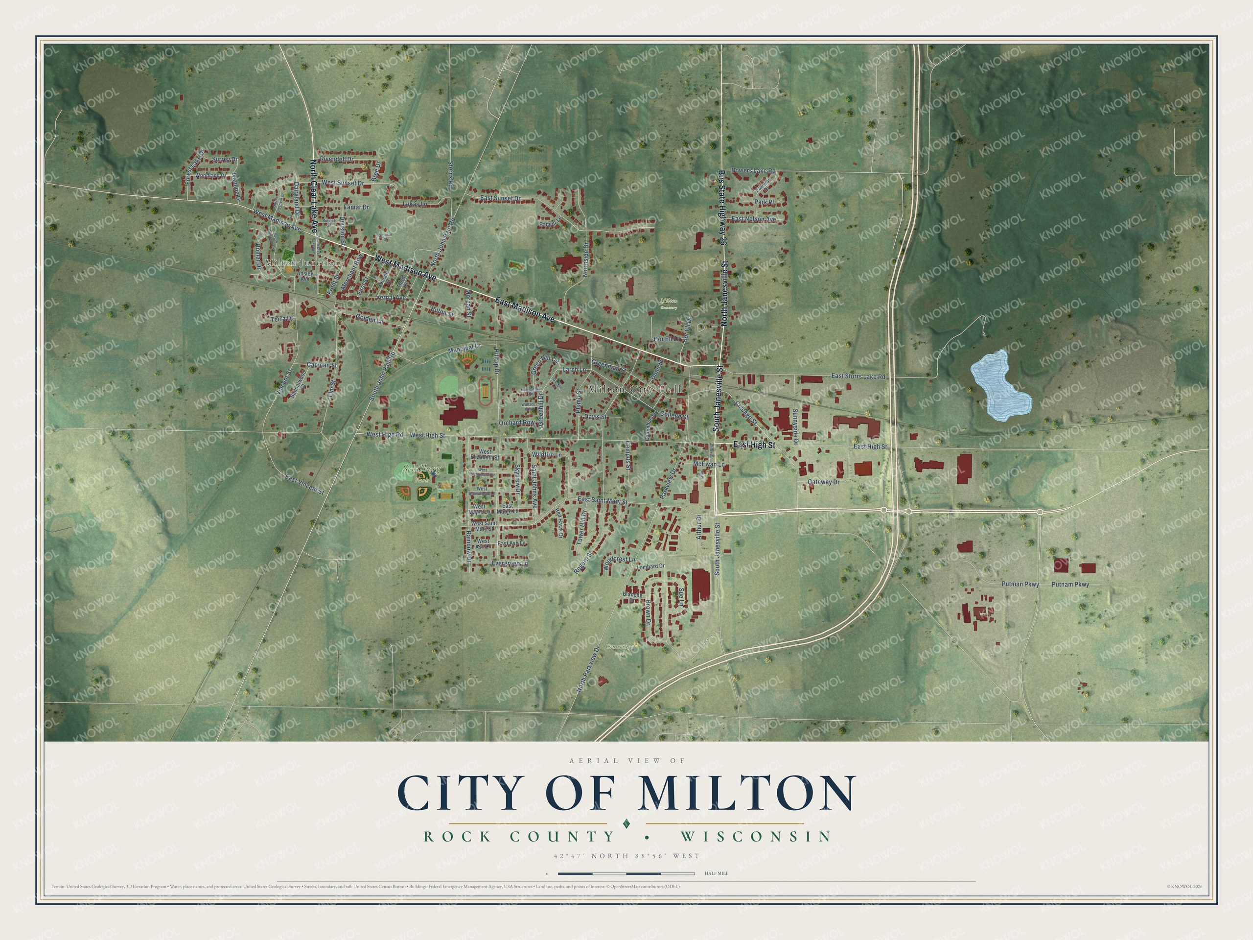
This beautifully detailed map of Milton, Wisconsin was created in 2026 using aerial imagery combined with modern topographical, census, street and landmark data. It's a modern aerial view of Milton in Rock County, Wisconsin, that combines modern data with a vintage aesthetic. The roads feature printed names, and if you look closely you can find your exact house accurately shown in its correct location.
Explore an aerial view of Milton, Wisconsin
On this map you'll find Milton City Hall, Milton Junction, Crossridge Park, Milton Cemetery, Schilberg Park, South Janesville Street, East Madison Avenue, West Madison Avenue, North Janesville Street, East High Street, Bus State Highway 26, North Clear Lake Avenue, and more. Each red shape is a building, so zoom in on the preview and look for yours.
Milton has a story worth telling. The Rock County a New History puts it this way: "When, in 1858, the Chicago & Northwestern railroad was built through the section of Rock county, where Milton Junction now stands, crossing the Chicago, Milwaukee & St. Paul railroad, forming a junction, the first attempt was made to organize there a village, an effort which was later carried to completion."
Milton is a city in Rock County. The Census Bureau counted 5,716 people here in 2020.
Take a closer look at the Milton map
Names on this map
These names are printed on this map.
Places: Milton City Hall, Milton Junction, Crossridge Park, Milton Cemetery and Schilberg Park.
Streets and roads: South Janesville Street, East Madison Avenue, West Madison Avenue, North Janesville Street, East High Street, Bus State Highway 26, North Clear Lake Avenue, Bowers Lake Road, East Saint Mary Street, Greenhill Drive, Vincent Street, West Sunset Drive.
More street names, A to Z
Anderson Lane, Ansley Avenue, Arthur Drive, Badger Lane, Blanche Drive, Bree Drive, Brown Drive, Burdick Street, Buten Street, Campus Street, Capman Street, Chicago Street, College Street, Columbus Street, Cor Ell Lane, Dairyland Drive, Davis Street, Division Street, Dor Ell Drive, Dunn Street, East Ash Lane, East Maple Lane, East Nelson Avenue, East Storrs Lake Road, East Sunset Drive, East Vincent Street, Elm Street, Evergreen Lane, Fairway Drive, First Street, Forest Lake Drive, Front Street, Garden Lane, Gateway Drive, Golden Lane, Green Hill Circle, Greenman Street, Hilltop Drive, Homestead Road, Ivanhoe Drive, Lamar Drive, Larch Lane, Lombard Drive, Lukas Lane, Mary Lane, McEwan Lane, Merchant Row, Morgan Street, Muncipal Drive, North Crescent Drive, North John Paul Road, North Parkview Drive, Northside Drive, Orchard Row, Park Place, Parkview Drive, Plumb Street, Putman Parkway, Putnam Parkway, Rainbow Drive, Red Hawk Drive, Rivendell Drive, Rogers Street, Romar Drive, Saint Johns Avenue, Sandalwood Court, Second Street, Skyview Drive, South Clear Lake Avenue, South Crescent Drive, South John Paul Road, Sterns Road, Sue Lane, Sunnyside Drive, Surrey Drive, Terra Drive, Third Street, Tower Hill Drive, Vernal Avenue, Wallace Way, West Ash Lane, West Basswood Lane, West Cottonwood Lane, West Elizabeth Street, West High Road, West High Street, West Maple Lane, West Saint Mary Street, Wildfire Lane, Windsor Court, Woodcrest Lane, Woodland Drive.
Created by KNOWOL in 2026. The buildings are small red shapes, the roads carry their printed names, and shaded relief shows the shape of the land. The title panel reads "AERIAL VIEW OF CITY OF MILTON, ROCK COUNTY • WISCONSIN" with 42°47' NORTH 88°56' WEST.
It looks right in a kitchen, an office or a den, and it's a gift for anyone who grew up in Milton or moved away. Open the preview and find your street. See sizes and frames for the Milton map.