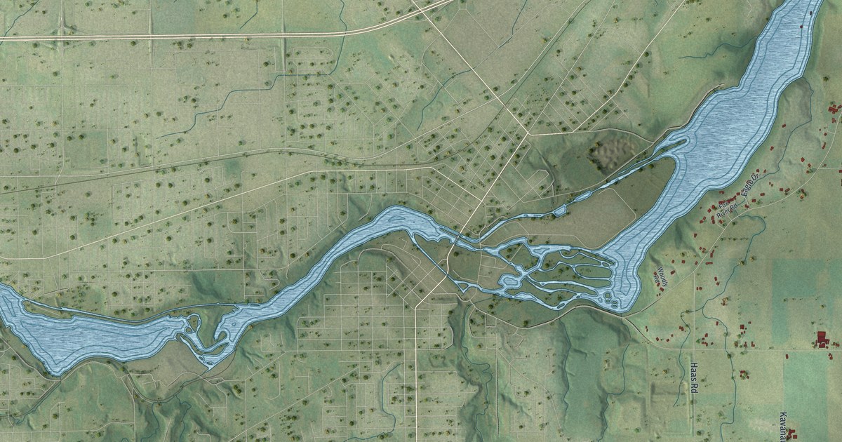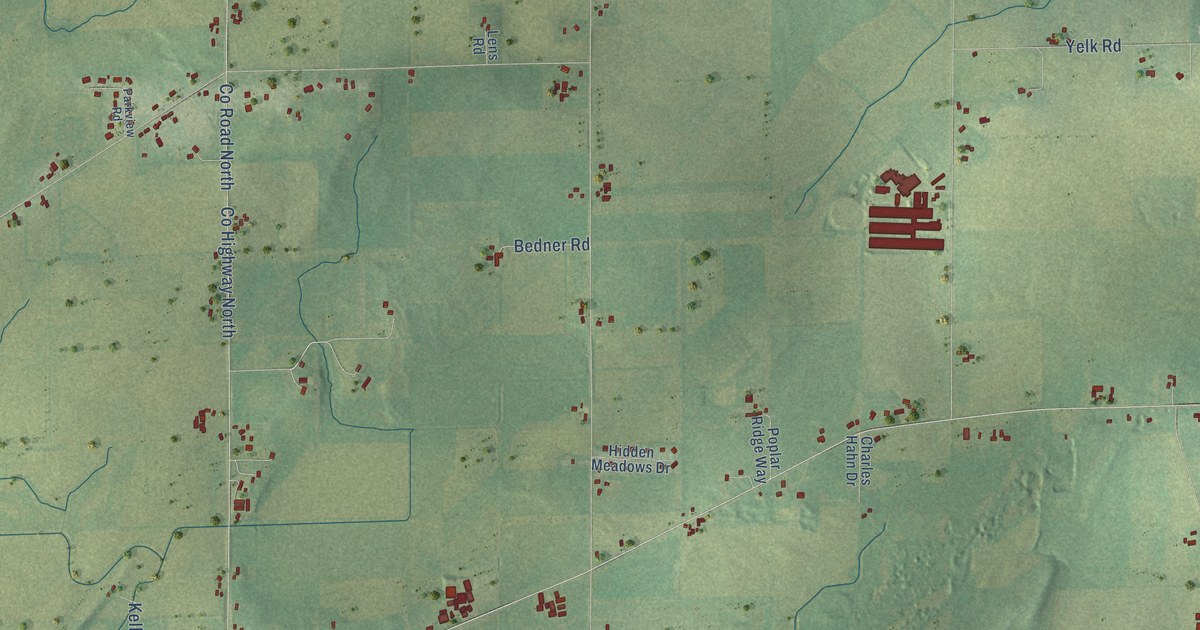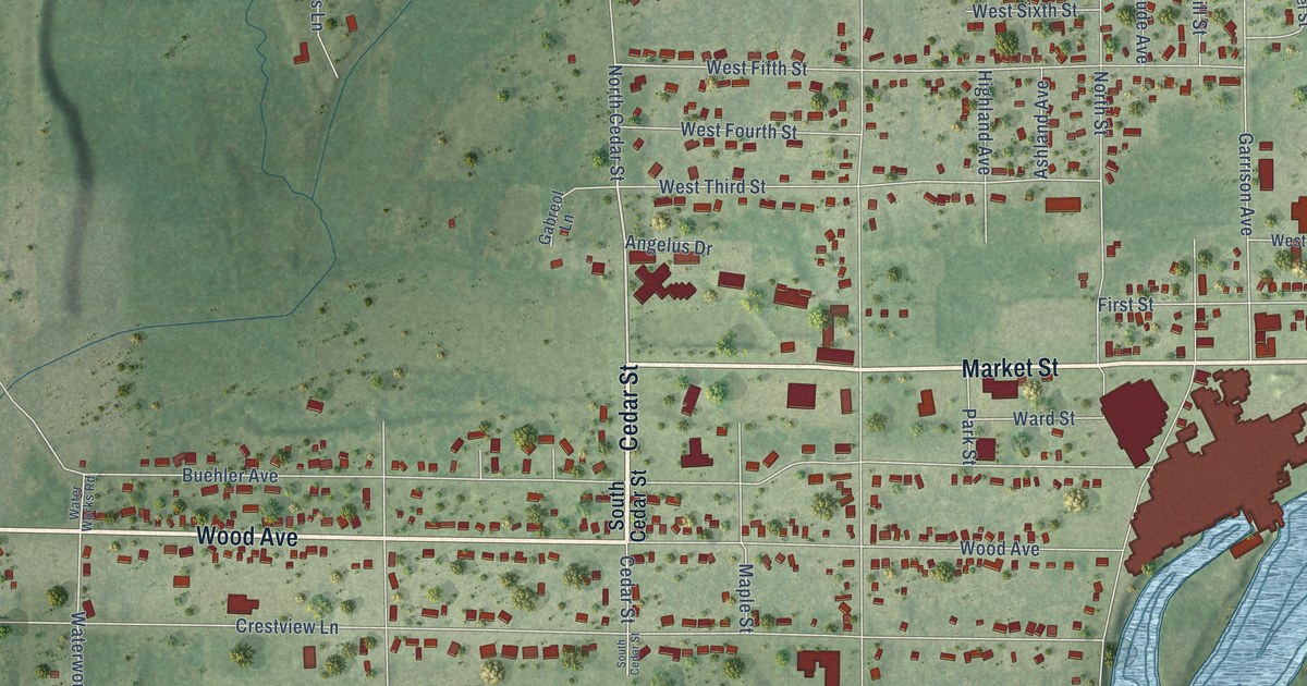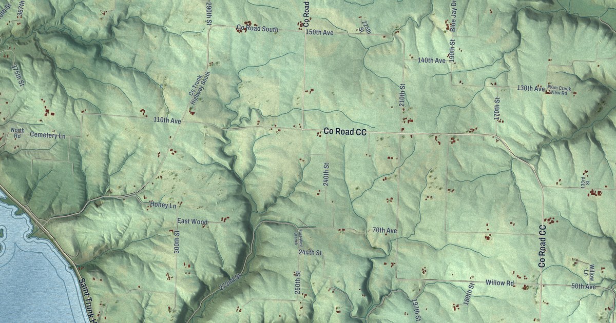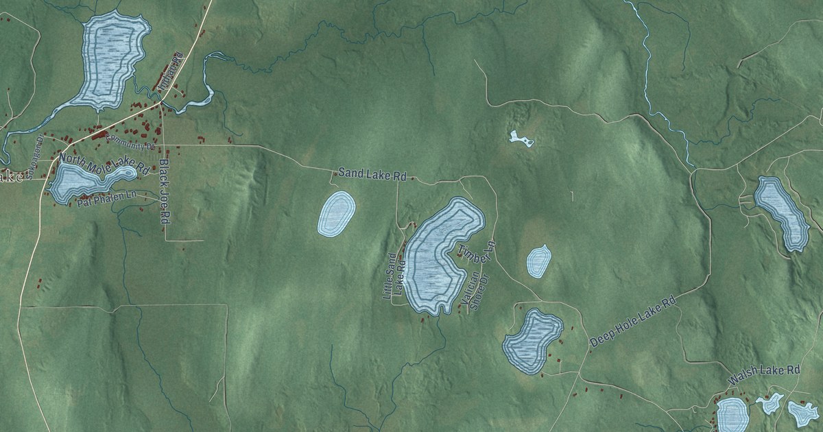
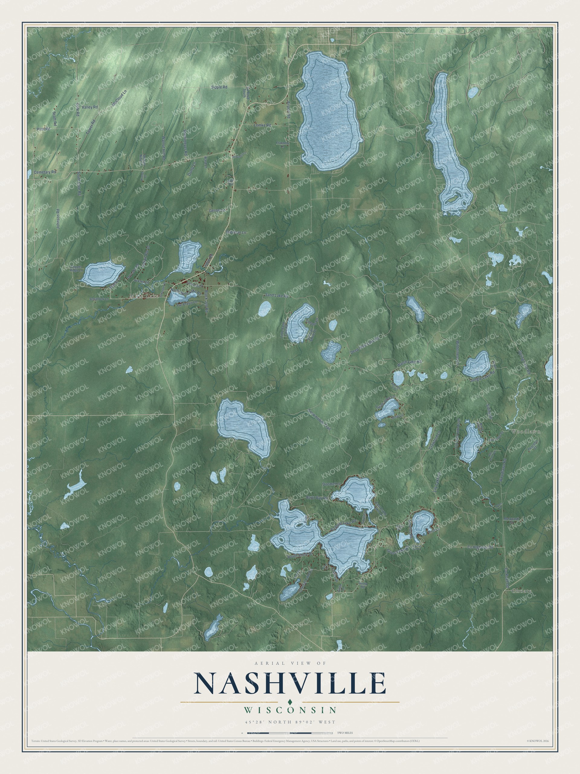
This beautifully detailed map of Nashville, Wisconsin was created in 2026 using aerial imagery combined with modern topographical, census, street and landmark data. It's a modern aerial view of Nashville in Forest County, Wisconsin, that combines modern data with a vintage aesthetic. The roads feature printed names, and if you look closely you can find your exact house accurately shown in its correct location.
Explore an aerial view of Nashville, Wisconsin
On this map you'll find Mole Lake, Woodlawn, Choate, Spring Lake Road, Co Highway Dd, Co Road Dd, Jungle Lake Road, Snowmobile Trail, Airport Road, South Shore Drive, Black Lane, Sand Lake Road, and more. Each red shape is a building, so zoom in on the preview and look for yours.
Nashville is a town in Forest County. The Census Bureau counted 1,215 people here in 2020. The map prints the town name in its title panel, with the coordinates below it.
Take a closer look at the Nashville map
Names on this map
These names are printed on this map.
Places: Mole Lake, Woodlawn and Choate.
Streets and roads: Spring Lake Road, County Highway Dd, County Road Dd, Jungle Lake Road, Snowmobile Trail, Airport Road, South Shore Drive, Black Lane, Sand Lake Road, Woodlawn Road, Pitts Road, Pickerel Lake Road.
More street names, A to Z
Ackley Circle, Arbutus Point Lane, Arbutus Road, Bartz Bay Road, Birch Lane, Black Joe Road, Blue Heron Way, Cemetary Road, Cole Road, Community Drive, Copper Ridge Lane, County Road South, Crawford Lane, Crystal Lake Lane, Deep Hole Lake Road, Doemel Lane, Dry Lake Road, Dump Lane, Dump Road, Eagles Way, East Crane Lake Lane, Firelite Drive, Flannery Lane, Forest Lane, Gerow Lane, Glenn Lane, Grass Lake Road, Indian Road, Indian Route 10, Ison Lane, Johnson Road, Jones Lane, Josie Lane, Kramer Lane, Leiterman Lane, Lemke Road, Lily Lake Lane, Lily Lake Lane North, Little Sand Lake Road, Maple Lane, Maple Ridge Road, Marquardt Lane, McCloud Lane, McGinnis Lane, North Mole Lake Road, Pat Phalen Lane, Peaceful Court, Point Lane, Red Fox Trail, River Ridge Road, Saint John Lane, Schallock Lane, Scott Road, Section Nine Lane, Sherman Lane, Siding Drive, Sipple Road, Sokoagon Drive, South Cole Road, Timber Lane, Tower Road, Valician Shore Drive, Valley Road, Vista Lane, Walnut Hill Road, Walsh Lake Road, Ward Lane, Westimeyer Road, Wilderness Lane.
Created by KNOWOL in 2026. The buildings are small red shapes, the roads carry their printed names, and shaded relief shows the shape of the land. The title panel reads "AERIAL VIEW OF NASHVILLE, WISCONSIN" with 45°28' NORTH 89°02' WEST.
Hang it in the hallway, the office or the cabin, or give it to someone who left Nashville and still calls it home. Open the preview and look for a street you know. See sizes and frames for the Nashville map.