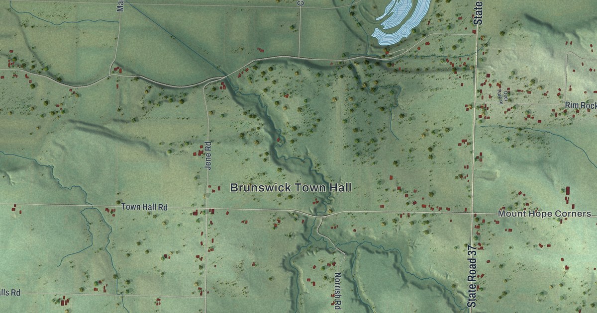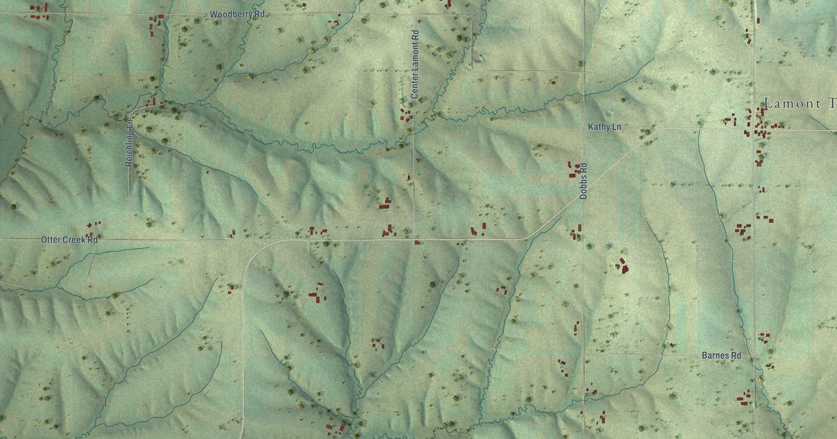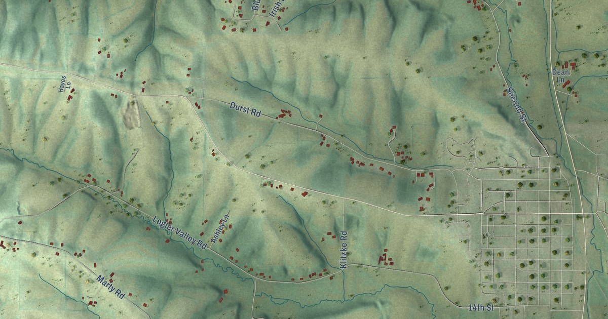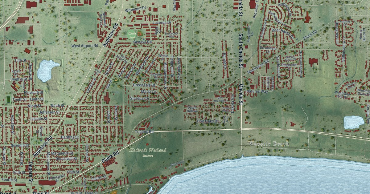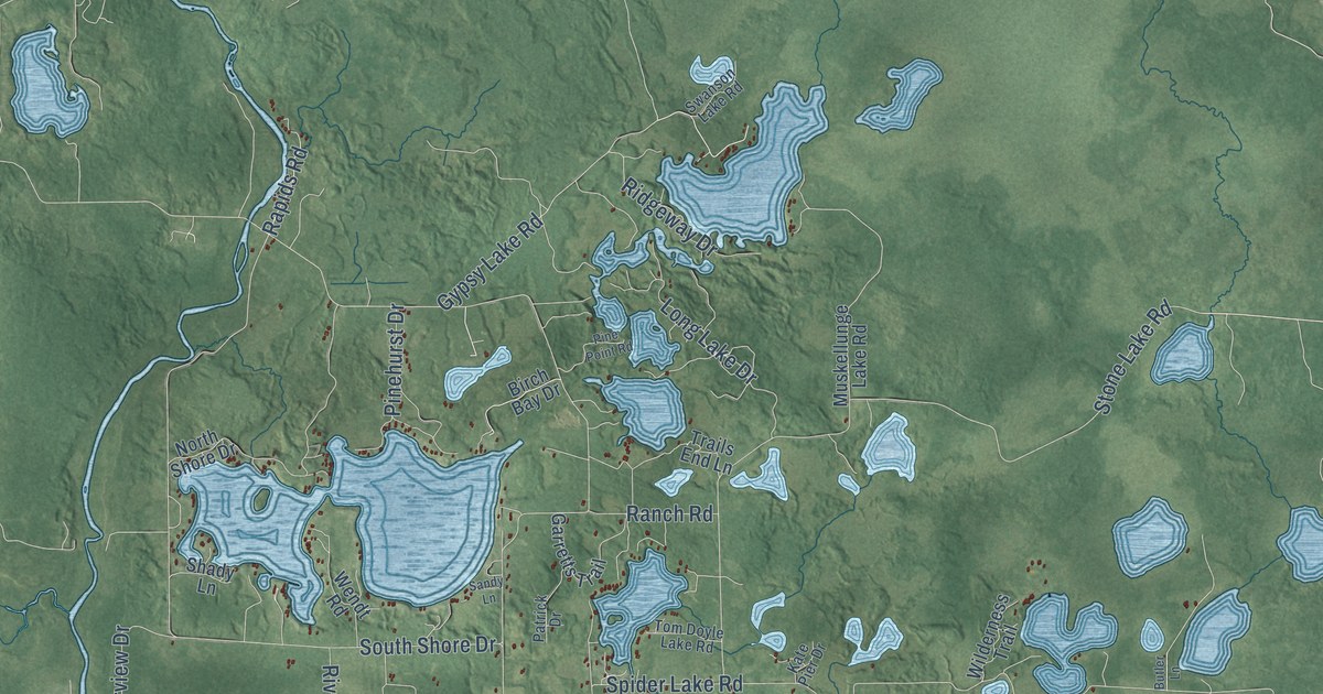
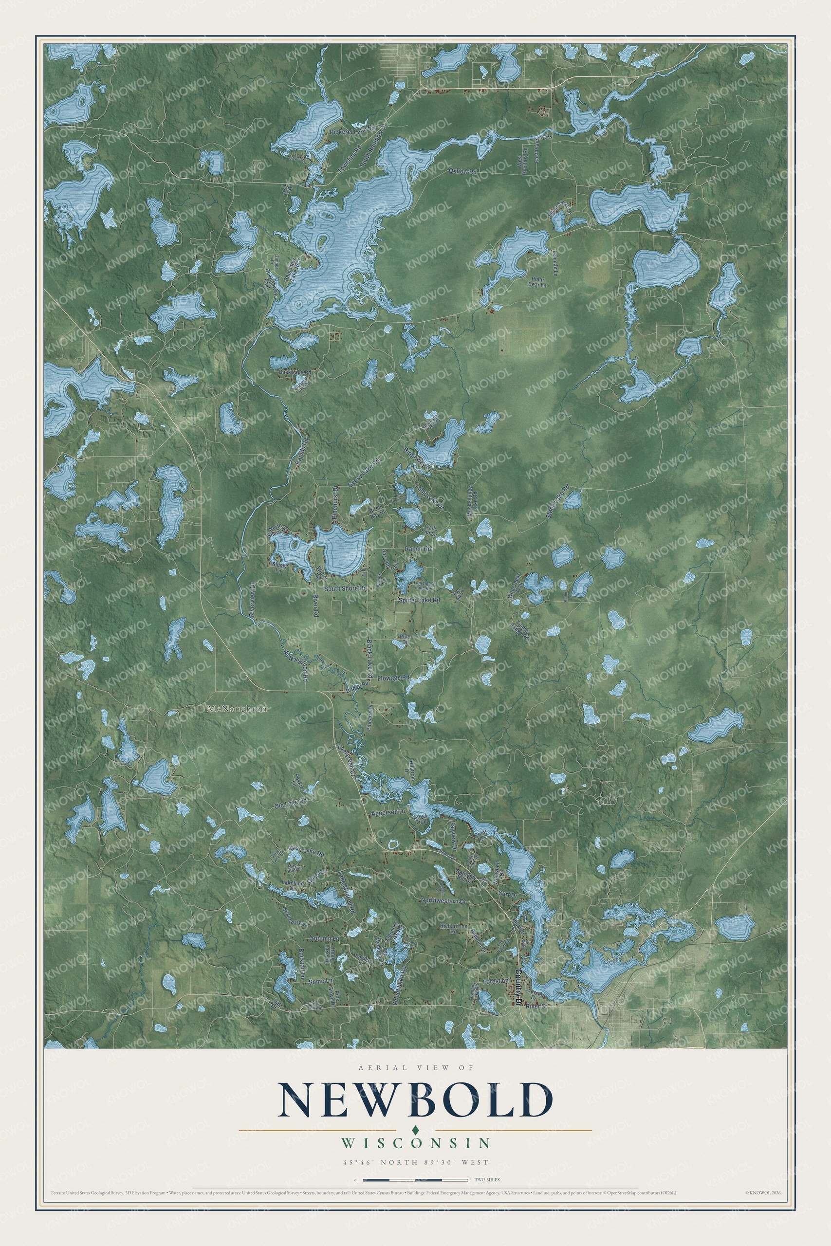
This beautifully detailed map of Newbold, Wisconsin was created in 2026 using aerial imagery combined with modern topographical, census, street and landmark data. It's a modern aerial view of Newbold in Oneida County, Wisconsin, that combines modern data with a vintage aesthetic. The roads feature printed names, and if you look closely you can find your exact house accurately shown in its correct location.
Explore an aerial view of Newbold, Wisconsin
On this map you'll find McNaughton, Country Drive, River Road, Black Lake Road, Spider Lake Road, Gypsy Lake Road, Townline Road, Oxbow Road, Forest Lane, Lake Mildred Road, Stone Lake Road, Riverview Drive, and more. Each red shape is a building, so zoom in on the preview and look for yours.
Newbold is a town in Oneida County. The Census Bureau counted 2,831 people here in 2020. The map prints the town name in its title panel, with the coordinates below it.
Take a closer look at the Newbold map
Names on this map
These names are printed on this map.
Places: McNaughton.
Streets and roads: Country Drive, River Road, Black Lake Road, Spider Lake Road, Gypsy Lake Road, Townline Road, Oxbow Road, Forest Lane, Lake Mildred Road, Stone Lake Road, Riverview Drive, Ole Lake Road.
More street names, A to Z
Apperson Drive, Autumn Lane, Bass Lake Road, Bay Drive, Bayview Drive, Birch Bay Drive, Bluegill Lake Road, Bridge Road, Bucktail Lane, Butler Lane, Cedar Lane, Clear Lake Road, Coon Lake Road, County Highway East, Creek Trail, East Planting Road, Englert Lane, Evergreen Court, Fetke Lake Drive, Flannery Lake Road, Flowage Road, Fox Farm Lane, Garretts Trail, Harmony Hill Drive, Hillside Court, Hilstrom Drive, Hook Lake Road, Kate Pier Drive, Lakeland Drive, Larsen Drive, Lehman Lane, Long Lake Drive, Maple Bluff Lane, McNaughton Road, Mildred Parkway, Muskellunge Lake Road, North Shore Drive, Northwestern Drive, Oak Drive, Patrick Drive, Pickerel Lake Road, Pineaire Drive, Pine Drive, Pine Grove Drive, Pinehurst Drive, Pine Point Road, Pinewood Drive, Point Drive, Polar Bear Lane, Poskie Lane, Rainbbow Lake Road, Ranch Road, Rapids Road, Redpine Drive, Richardson Road, Ridgeway Drive, River Street, Rosalie Lane, Sandy Lane, Shady Lane, Silver Shore Lane, Somo Lane, Soo Lake Road, South Rainbow Drive, South Shore Drive, Sunset Drive, Surf Drive, Swanson Lake Road, Timber Drive, Timber Range Road, Tom Doyle Lake Road, Townline Lake Road, Trails End Lane, Valley Court, Velvet Lake Road, Ve Trail, Vets Memorial Drive, Vienna Drive, Wendt Road, West Planting Road, Wilderness Trail, Wildwood Drive.
Created by KNOWOL in 2026. The buildings are small red shapes, the roads carry their printed names, and shaded relief shows the shape of the land. The title panel reads "AERIAL VIEW OF NEWBOLD, WISCONSIN" with 45°46' NORTH 89°30' WEST.
Hang it in the hallway, the office or the cabin, or give it to someone who left Newbold and still calls it home. Open the preview and look for a street you know. See sizes and frames for the Newbold map.