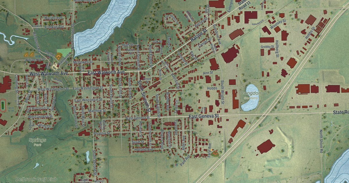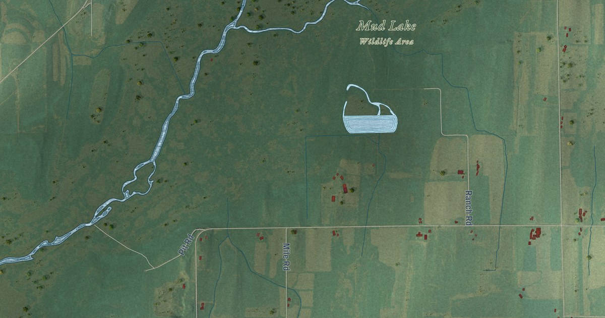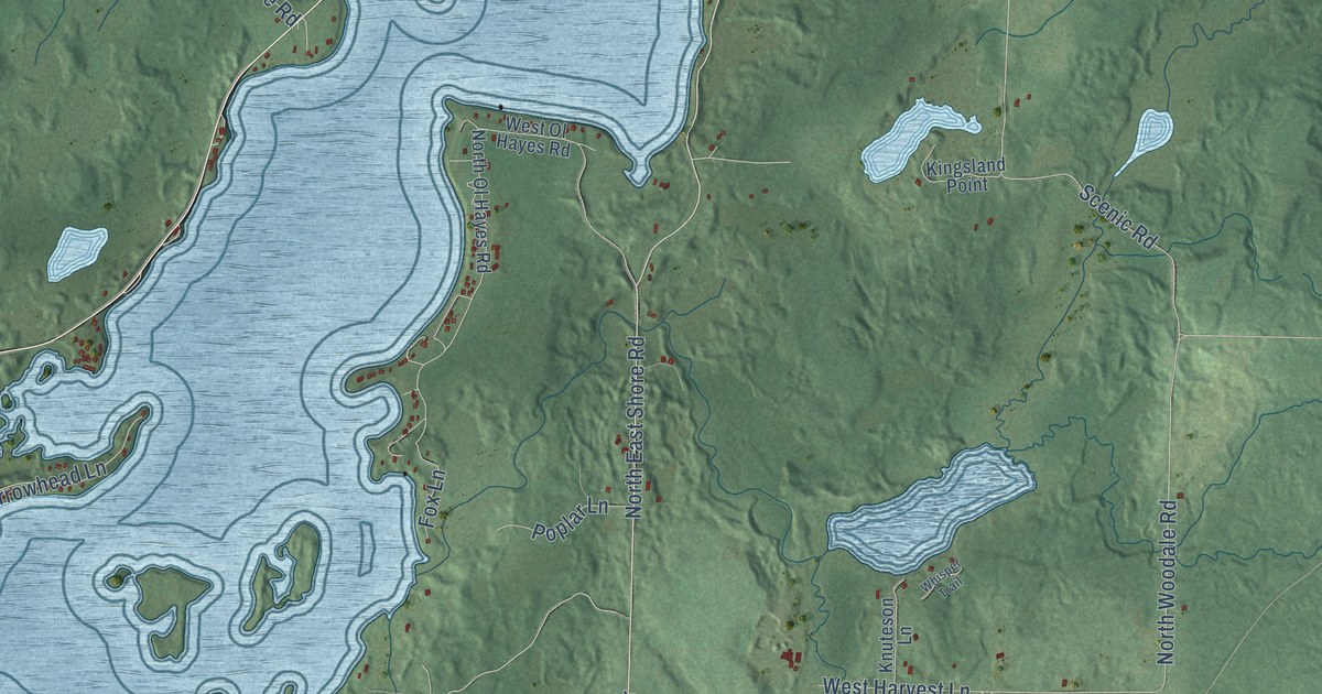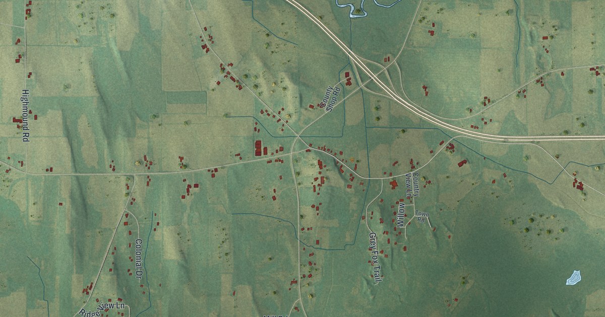
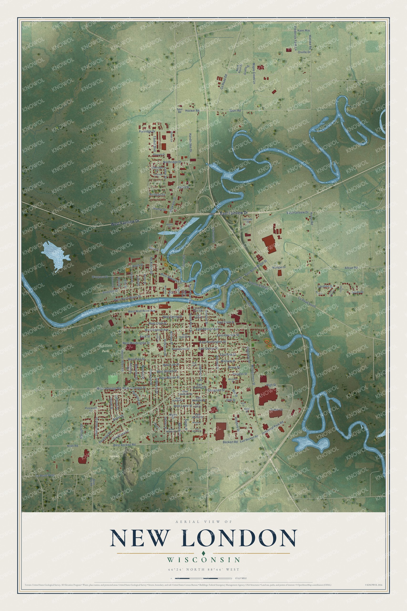
This beautifully detailed map of New London, Wisconsin was created in 2026 using aerial imagery combined with modern topographical, census, street and landmark data. It's a modern aerial view of New London in Waupaca County, Wisconsin, that combines modern data with a vintage aesthetic. The roads feature printed names, and if you look closely you can find your exact house accurately shown in its correct location.
Explore an aerial view of New London, Wisconsin
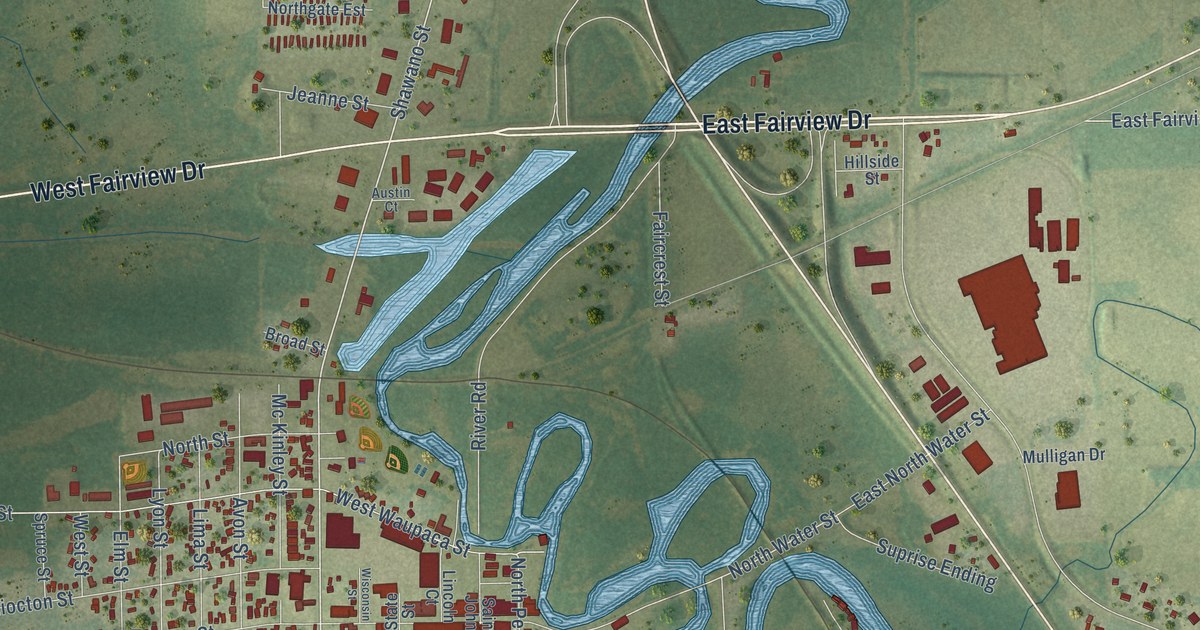
On this map you'll find Floral Cemetery, Hatten Park, East Fairview Drive, West Fairview Drive, Division Street, West Beckert Road, Pershing Road, Beckert Road, Industrial Park Road, Shawano Street, Spurr Road, Hocker Road, and more. Each red shape is a building, so zoom in on the preview and look for yours.
Here is a piece of New London history, in the words of the record. The Waupaca County History puts it this way: "In 1853 Ira Millerd started the first store within the present limits of New London."
New London is a city in Waupaca County. The Census Bureau counted 7,348 people here in 2020.
Take a closer look at the New London map
Names on this map
These names are printed on this map.
Places: Floral Cemetery and Hatten Park.
Streets and roads: East Fairview Drive, West Fairview Drive, Division Street, West Beckert Road, Pershing Road, Beckert Road, Industrial Park Road, Shawano Street, Spurr Road, Hocker Road, Wyman Street, Hillshire Drive.
More street names, A to Z
Algoma Street, Allcan Road, Appleton Street, Austin Court, Avon Street, Bean City Road, Broad Street, Bruce Street, Buck Street, Cardinal Street, Caroline Drive, Cedarhurst Drive, Cedar Street, County Road Dd, County Road South, County Road West, Dexter Street, Dickinson Street, Douglas Street, East Beacon Avenue, East Beckert Road, East Cook Street, East Hancock Street, East Jennings Street, East Laura Street, East Law Street, East Martin Street, East Minerva Street, East North Water Street, East Pine Street, East Quincy Street, East Ridge Drive, East Rowland Street, East Spring Street, East Street, East Washington Street, East Wolf River Avenue, Elmer Lane, Elm Street, Evergreen Street, Faircrest Street, Frederick Farm Lane, Giselle Drive, Grove Street, Handschke Drive, Henry Street, High Street, Hillside Street, Hintzke Road, House Road, Jeanne Street, Jefferson Street, Karen Court, Kates Way, Klatt Road, Lawrence Street, Lima Street, Lincoln Court, Lucas Drive, Lyon Street, Maple Creek Lane, Martin Street, Mayflower Court, Mc Kinley Street, Menasha Street, Mill Street, Montgomery Street, Montieth Street, Mulligan Drive, Nassau Street, Neenah Street, Northgate Est, North Pearl Street, North Point Drive, Northridge Drive, North Street, North Water Street, Oakridge Lane, Oak Street, Oriole Street, Orville Drive, Oshkosh Street, Parkview Drive, Partridge Drive, Pheasant Drive, Pinewood Lane, Ridgeway Drive, River Road, Robin Street, Saint Johns, Shiocton Street, Smith Street, Southland Lane, South Pearl Street, Southridge Drive, South Shawano Street, Spruce Street, Spur Road, Starlight Drive, State Street, Suprise Ending, Taubel Boulevard, Tower Lane, Wallace Street, Waupaca Street, Werner Allen Road, West Beacon Avenue, West Cameron Street, West Cook Street, West Hancock Street, West Jennings Road, West Jennings Street, West Laura Street, West Law Street, West Millard Street, West Minerva Street, West North Water Street, West Pine Street, West Quincy Street, West Rowland Street, West Spring Street, West Street, West Warren Street, West Washington Street, West Waupaca Street, West Wolf River Avenue, Winnifred Street, Wisconsin Street, Woodlane Drive, Zachary Court.
Created by KNOWOL in 2026. The buildings are small red shapes, the roads carry their printed names, and shaded relief shows the shape of the land. The title panel reads "AERIAL VIEW OF NEW LONDON, WISCONSIN" with 44°24' NORTH 88°44' WEST.
It suits a den, a classroom or a front hall, and it makes a gift for anyone with New London roots. Open the preview and find the block you know. See sizes and frames for the New London map.