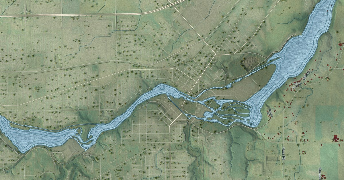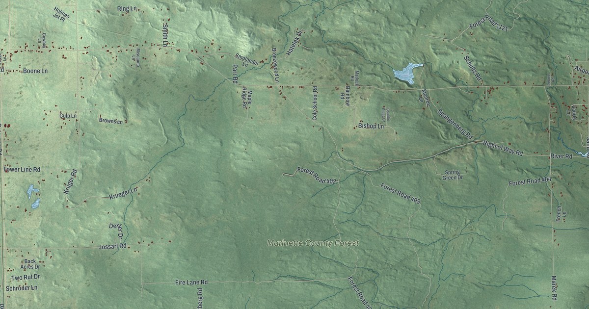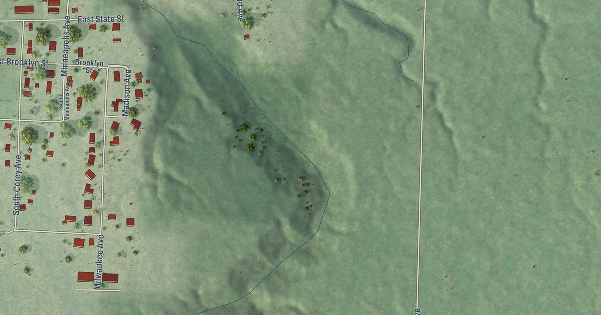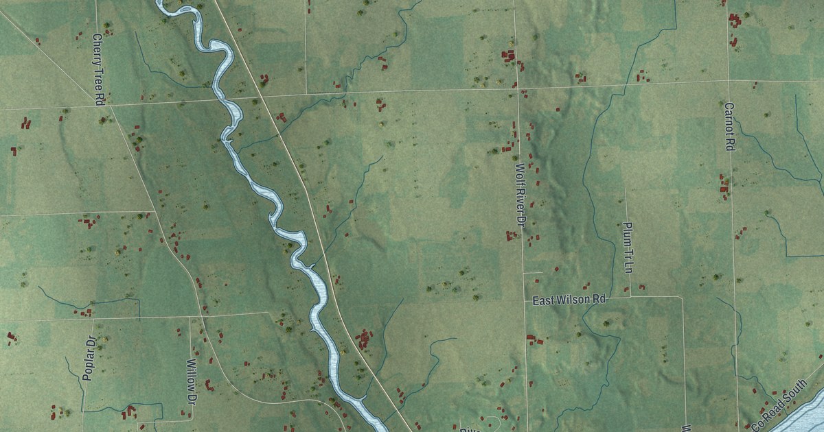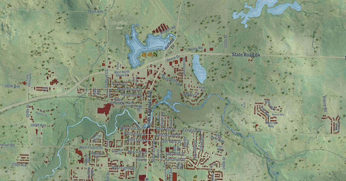
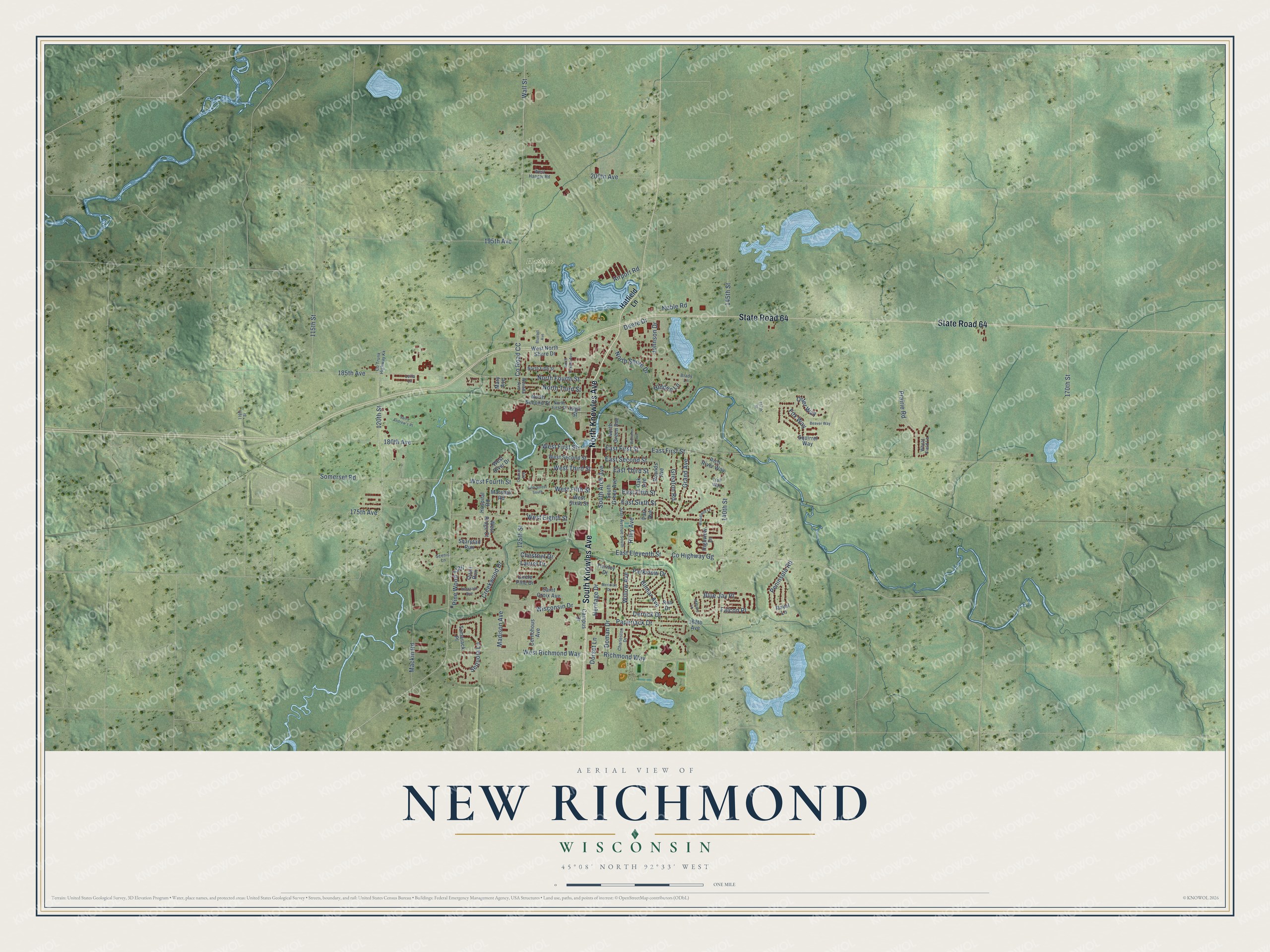
This beautifully detailed map of New Richmond, Wisconsin was created in 2026 using aerial imagery combined with modern topographical, census, street and landmark data. It's a modern aerial view of New Richmond in St. Croix County, Wisconsin, that combines modern data with a vintage aesthetic. The roads feature printed names, and if you look closely you can find your exact house accurately shown in its correct location.
Explore an aerial view of New Richmond, Wisconsin
On this map you'll find Hatfiled Park, North Knowles Avenue, South Knowles Avenue, State Road 64, South Arch Avenue, East First Street, 120th Street, Sequoia Lane, 115th Street, West First Street, 175th Avenue, Heritage Drive, and more. Each red shape is a building, so zoom in on the preview and look for yours.
Here is a piece of New Richmond history, in the words of the record. The History of Northern Wisconsin puts it this way: "New Richmond was organized as a village in the spring of 1879. Oscar Brown was the first President, Frank B. Chapman the second, and Silas Staples is the present President."
New Richmond is a city in St. Croix County. The Census Bureau counted 10,079 people here in 2020.
Take a closer look at the New Richmond map
Names on this map
These names are printed on this map.
Places: Hatfiled Park.
Streets and roads: North Knowles Avenue, South Knowles Avenue, State Road 64, South Arch Avenue, East First Street, 120th Street, Sequoia Lane, 115th Street, West First Street, 175th Avenue, Heritage Drive, Willow Avenue.
More street names, A to Z
110th Street, 125th Street, 140th Street, 145th Street, 147th Street, 168th Avenue, 170th Street, 180th Avenue, 185th Avenue, 195th Avenue, 200th Avenue, Airport Road, Beaver Way, Bilmar Avenue, Bluebill Avenue, Blue Jay Place, Brady Lane, Campus Drive, Cernohous Avenue, Charleston Drive, Chestnut Drive, Circle Pine Drive, Co Trunk Highway Kk, County Highway Gg, County Road CC, Creekwood Drive, Deere Drive, Derrick Drive, Doman Drive, Dorset Lane, East Eleventh Street, East Fifth Street, East Second Street, East Sixth Street, East Third Street, Falcon Place, Fifth Street South, Fox Way, Grand Avenue, Greaton Road, Hatfield Lane, Hidden Lane, High Street, Highview Drive, Hospital Road, Johnson Drive, Laurel Drive, Leila Lane, Mackin Road, Madison Avenue, Mallard Lane, Marshall Road, Mary Avenue, Meridian Drive, Nevada Avenue, Noble Road, North Dakota Avenue, North Fifth Street, North First Street, North Fourth Street, North Green Avenue, North Second Street, North Shore Drive, North Third Street, Oak Avenue, Odanah Avenue, Otter Way, Paperjack Drive, Park Avenue, Parkview Drive, Peninsula Road, Pheasant Run, Pine Wood Trail, Prairie Road, Quail Run, Richmond Way, Rich River Way, Riley Avenue, Ron Drive, Rounds Avenue, Royal Lane, Saint Andrew's Place, Saint Croix Avenue, Scenic Lane, Sharptail Run, Somerset Road, South Green Avenue, Squirrel Way, Starr Avenue South, Tamarack Place, Tierney Drive, Trail Way, Wall Street, West Eighth Street, West Fifth Street, West Fourth Street, West Hangar Road, West North Shore Drive, West Richmond Way, West Ridge Court, West River Drive, West Second Street, West Sixth Street, West Third Street, Wheat Field Lane, Williams Avenue, Wisconsin Drive, Woodland Lane.
Created by KNOWOL in 2026. The buildings are small red shapes, the roads carry their printed names, and shaded relief shows the shape of the land. The title panel reads "AERIAL VIEW OF NEW RICHMOND, WISCONSIN" with 45°08' NORTH 92°33' WEST.
It suits a den, a classroom or a front hall, and it makes a gift for anyone with New Richmond roots. Open the preview and find the block you know. See sizes and frames for the New Richmond map.