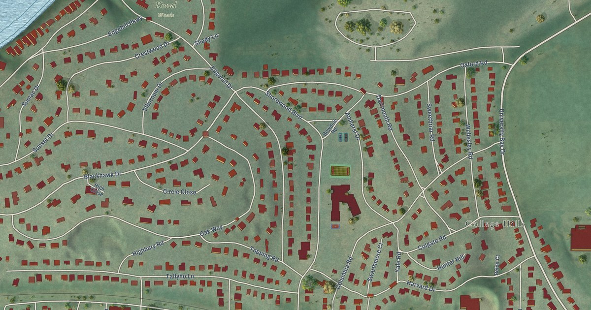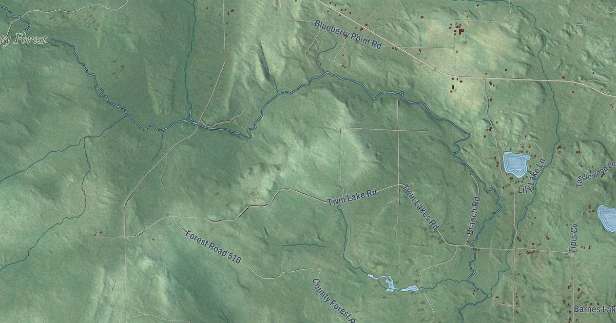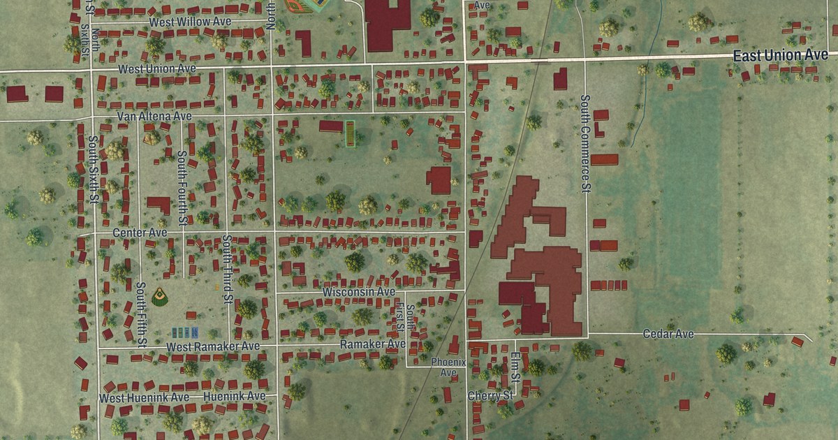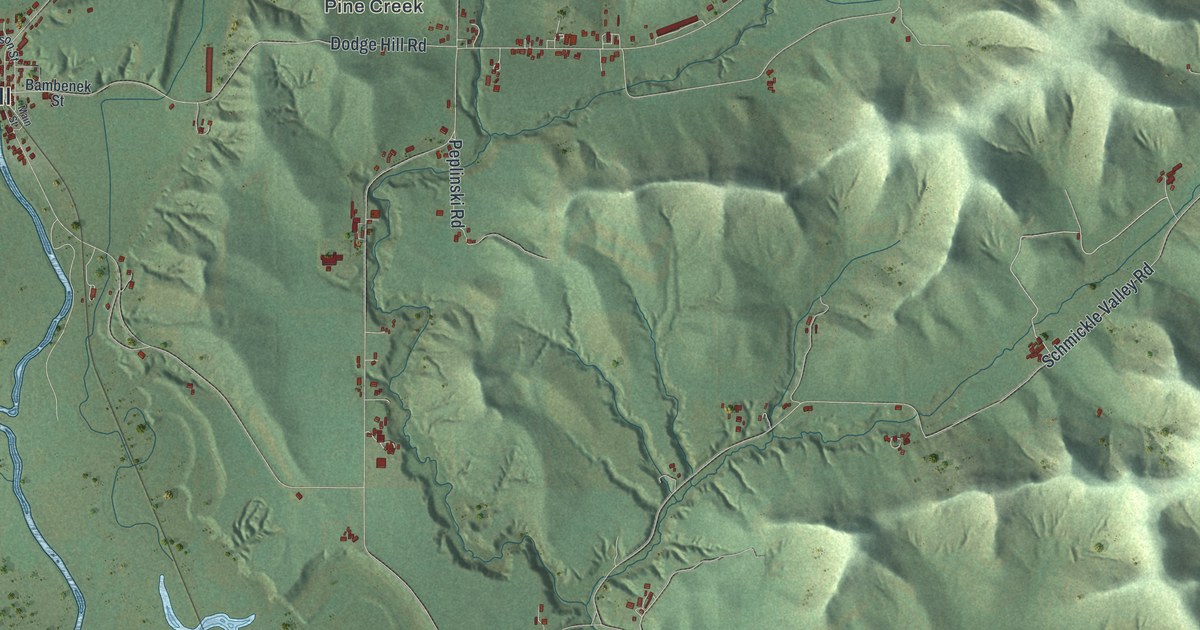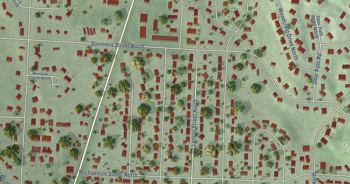
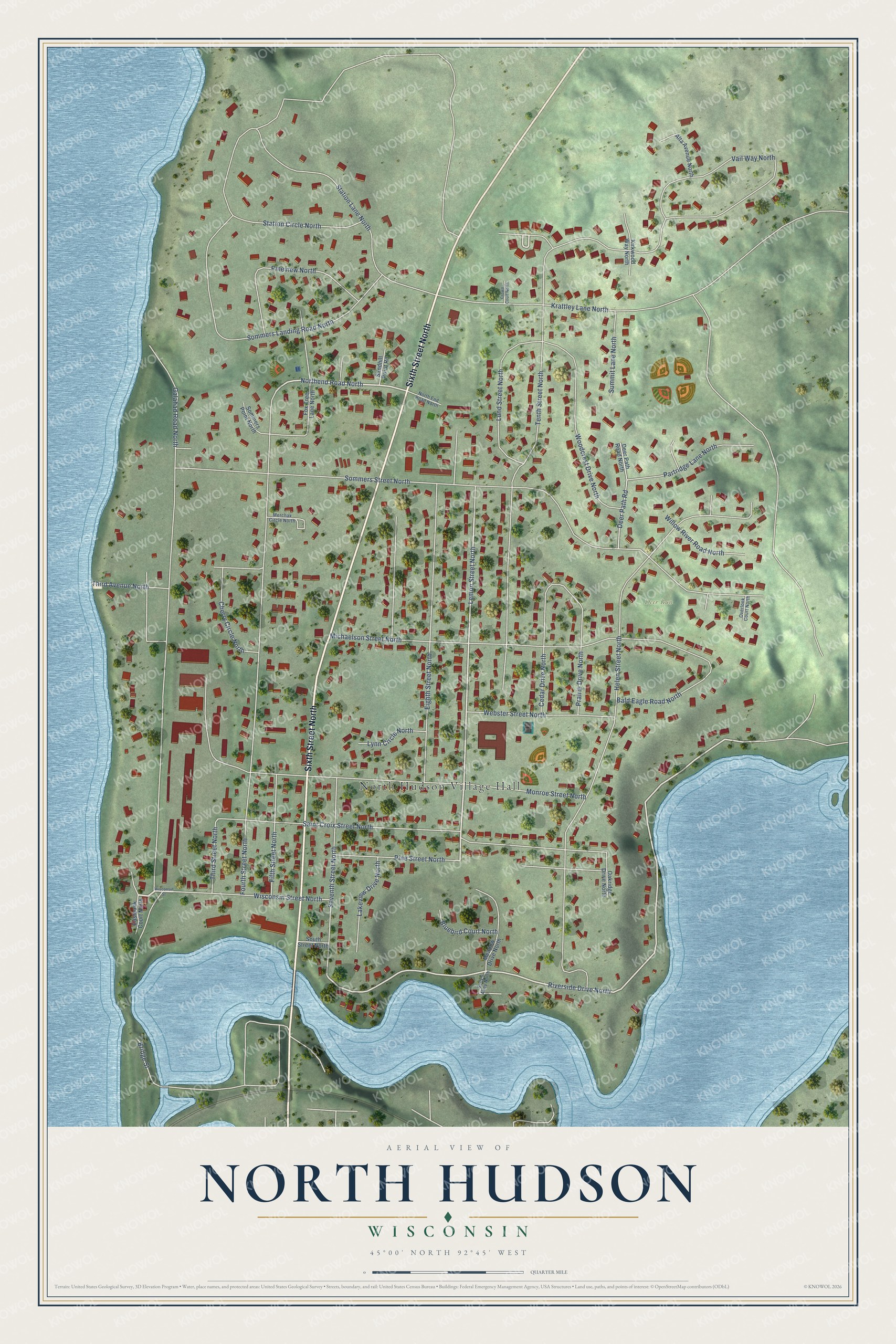
This beautifully detailed map of North Hudson, Wisconsin was created in 2026 using aerial imagery combined with modern topographical, census, street and landmark data. It's a modern aerial view of North Hudson in St. Croix County, Wisconsin, that combines modern data with a vintage aesthetic. The roads feature printed names, and if you look closely you can find your exact house accurately shown in its correct location.
Explore an aerial view of North Hudson, Wisconsin
On this map you'll find North Hudson Village Hall, Deer Run Park, Sixth Street North, Lemon Street North, Northend Road North, Tenth Street North, Sommers Street North, Helen Street North, Galahad Road North, Fourth Street North, Monroe Street North, Krattley Lane North, and more. Each red shape is a building, so zoom in on the preview and look for yours.
Here is a piece of North Hudson history, in the words of the record. The History of Northern Wisconsin puts it this way: "At North Hudson, there is the railroad station, the headquarters of the land department of the railroad, the roundhouse and repair shops, and a post office, John Richardson, Postmaster."
North Hudson is a village in St. Croix County. The Census Bureau counted 3,803 people here in 2020.
Take a closer look at the North Hudson map
Names on this map
These names are printed on this map.
Places: North Hudson Village Hall and Deer Run Park.
Streets and roads: Sixth Street North, Riverside Drive North, Lemon Street North, Northend Road North, Tenth Street North, Sommers Street North, Helen Street North, Galahad Road North, Fourth Street North, Monroe Street North, Krattley Lane North, Michaelson Street North.
More street names, A to Z
Alta Avenue North, Bald Eagle Road North, Bluebird Court North, Bridge Street, Cedar Drive North, Cherry Circle North, Crown Court North, Deer Path Road, Deer Path Road North, Eastbank Court North, Eighth Street North, Fifth Street North, Fox Tree Lane North, Kirkwood Way North, Lakeview Drive North, Lund Street North, Lynn Circle North, Meadow Drive North, Merchak Circle North, North End Road North, Oakridge Drive North, Overlook Court North, Partridge Lane North, Pine Street North, Pineview North, Prairie Drive North, Saint Croix Street North, Sally's Alley North, Sandhill Point Road, Seventh Street North, Sommers Landing Road North, Sommers Point North, South Street North, Station Circle North, Station Lane North, Summit Lane North, Third Avenue North, Third Street North, Vail Way North, Webster Street North, Willow River Road North, Wisconsin Street, Wisconsin Street North, Woodcrest Drive North.
Created by KNOWOL in 2026. The buildings are small red shapes, the roads carry their printed names, and shaded relief shows the shape of the land. The title panel reads "AERIAL VIEW OF NORTH HUDSON, WISCONSIN" with 45°00' NORTH 92°45' WEST.
It suits a den, a classroom or a front hall, and it makes a gift for anyone with North Hudson roots. Open the preview and find the block you know. See sizes and frames for the North Hudson map.