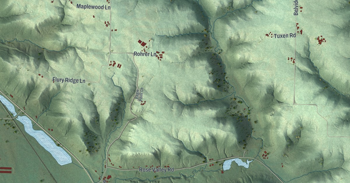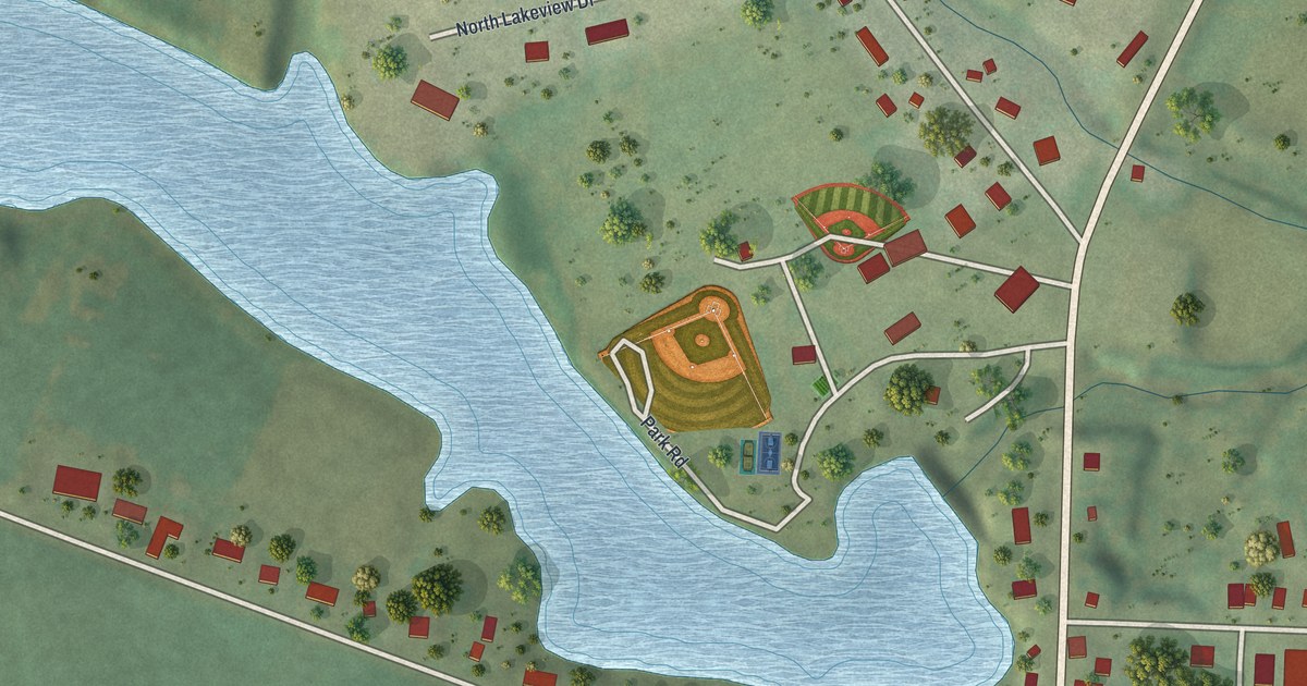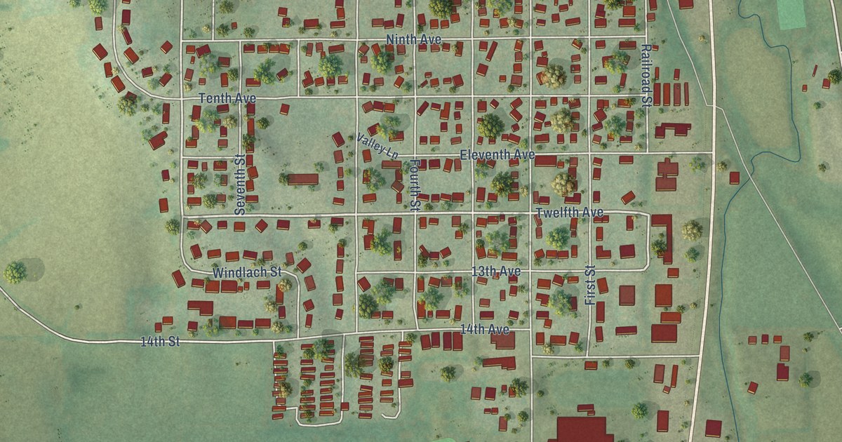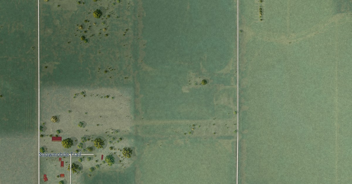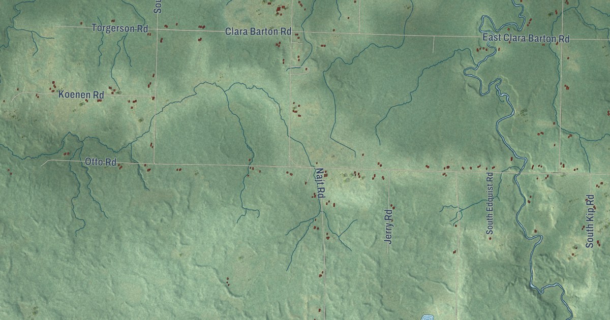
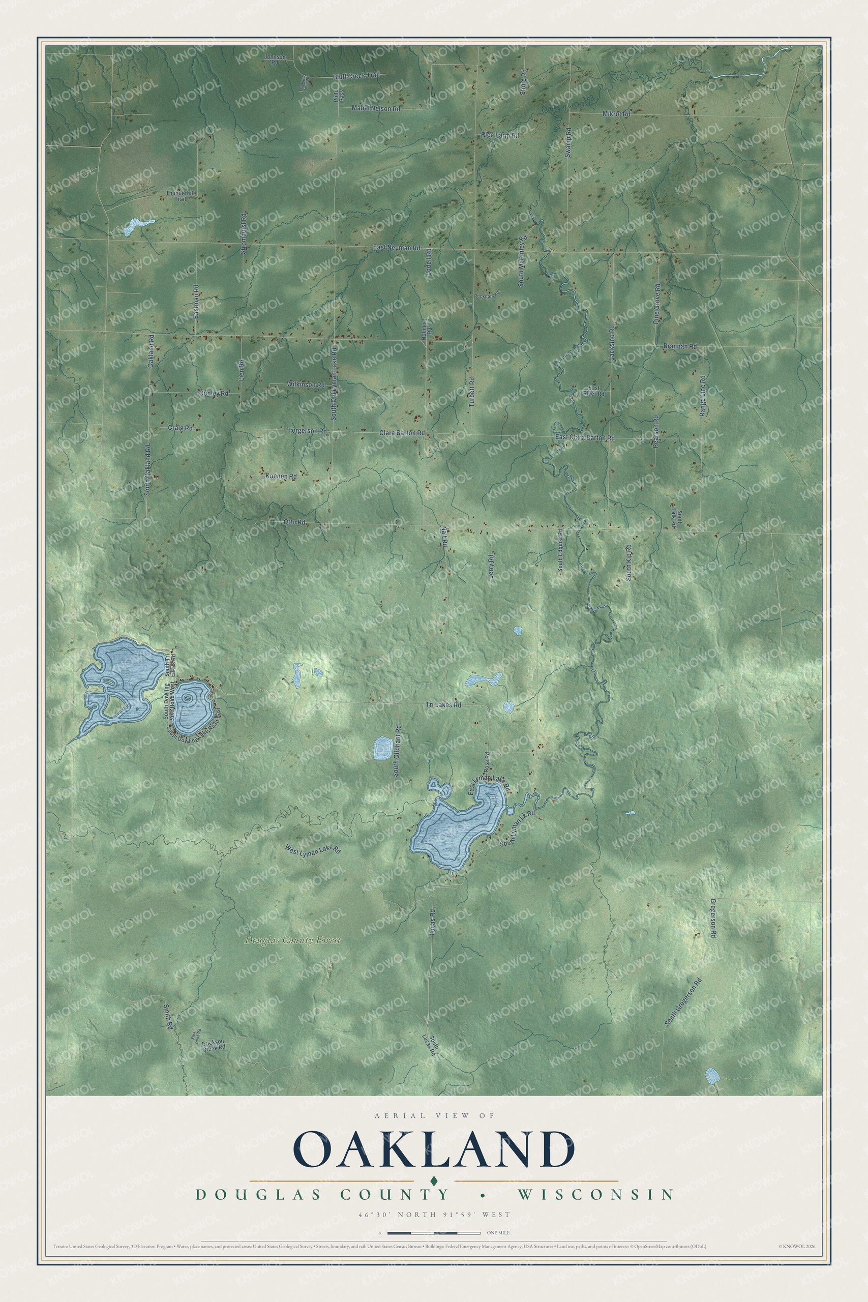
This beautifully detailed map of Oakland, Wisconsin was created in 2026 using aerial imagery combined with modern topographical, census, street and landmark data. It's a modern aerial view of Oakland in Douglas County, Wisconsin, that combines modern data with a vintage aesthetic. The roads feature printed names, and if you look closely you can find your exact house accurately shown in its correct location.
Explore an aerial view of Oakland, Wisconsin
On this map you'll find Douglas County Forest, Tri Lakes Road, Lucas Road, South Oakland Road, Smith Road, Clara Barton Road, South Old Lyman Lake Road, East Neuman Road, Jacksino Road, East Clara Barton Road, South Oliphant Road, Eastman Road, and more. Each red shape is a building, so zoom in on the preview and look for yours.
Oakland is a town in Douglas County. The Census Bureau counted 1,170 people here in 2020. The map prints the town name in its title panel, with the coordinates below it.
Take a closer look at the Oakland map
Names on this map
These names are printed on this map.
Places: Douglas County Forest.
Streets and roads: Tri Lakes Road, Lucas Road, South Oakland Road, Smith Road, Clara Barton Road, South Old Lyman Lake Road, East Neuman Road, Jacksino Road, East Clara Barton Road, South Oliphant Road, Eastman Road, Swamp Road.
More street names, A to Z
Bluff Creek Trail, Brannan Road, Conley Road, Copper Ridge Road, Craig Road, East Lyman Lake Road, East River Road, East Smith Road, Erickson Creek Road, Gregerson Road, Holmes Road, Jerry Road, Jodell Road, Johnson Road, Koenen Road, Lien Road, Mabel Nelson Road, Mikrot Road, Najt Road, Oakland Road, Otto Road, Pearson Road, Pine Grove Road, Pinto Pass, Range Line Road, Rice Farm Road, Rockdale Road, Ross Road, South Dowling Lake Road East, South Dowling Lake Road West, South Edquist Road, South Falk Road, South Gregerson Road, South Kip Road, South Lucas Road, South Lyman Lk Road, South McKinley Road, South Tri Lakes Road, Stone Road, Stromquist Road, Thunderhill Trail, Torgerson Road, Turbett Road, West Lyman Lake Road, Wilkinson Road.
Created by KNOWOL in 2026. The buildings are small red shapes, the roads carry their printed names, and shaded relief shows the shape of the land. The title panel reads "AERIAL VIEW OF OAKLAND, DOUGLAS COUNTY • WISCONSIN" with 46°30' NORTH 91°59' WEST.
It looks right in a kitchen, an office or a den, and it's a gift for anyone who grew up in Oakland or moved away. Open the preview and find your street. See sizes and frames for the Oakland, Douglas County map.