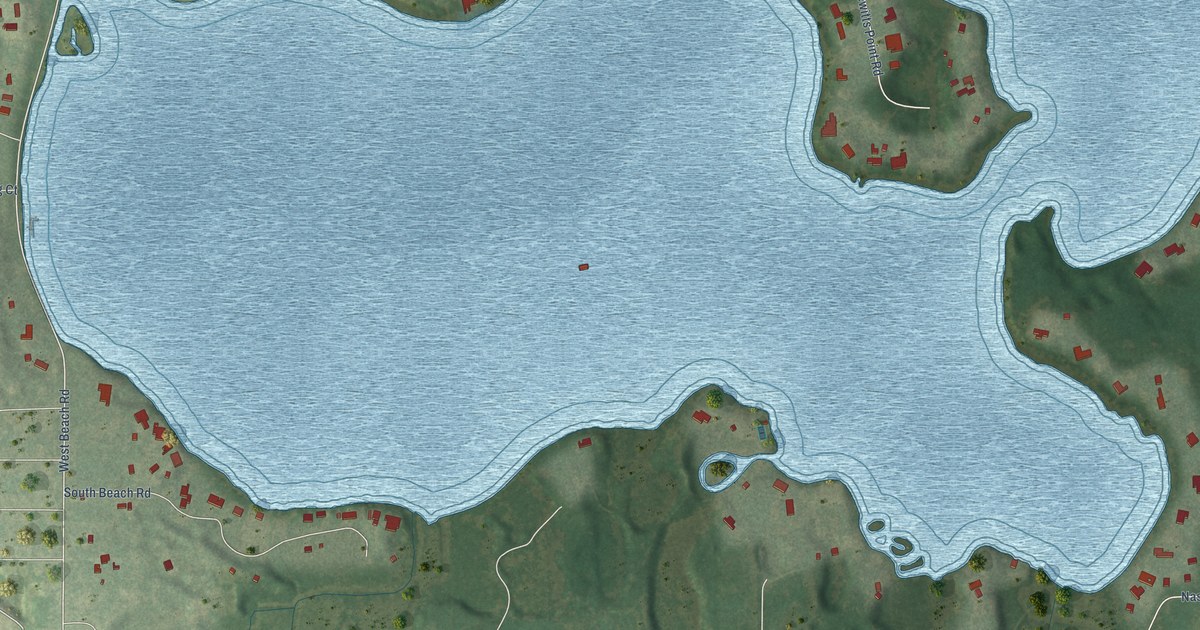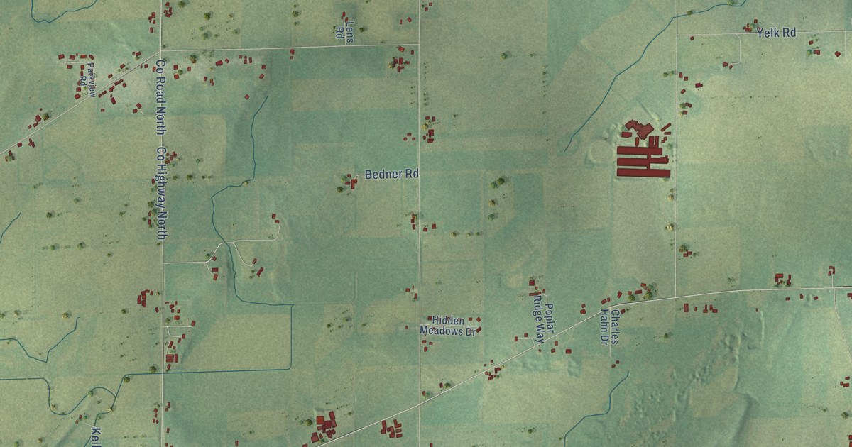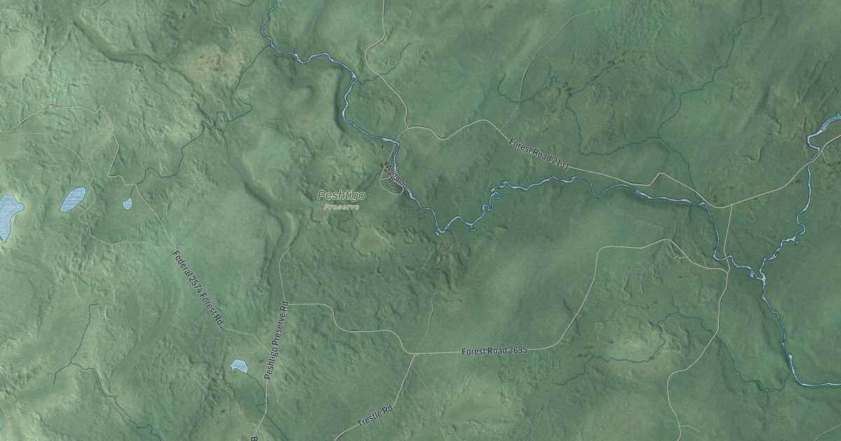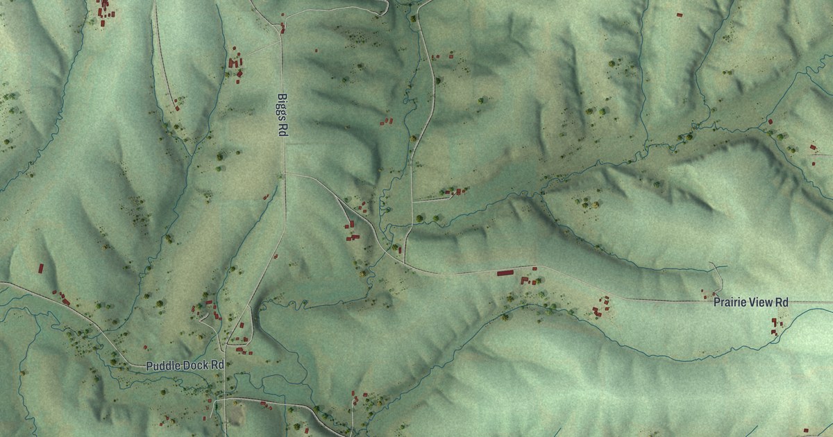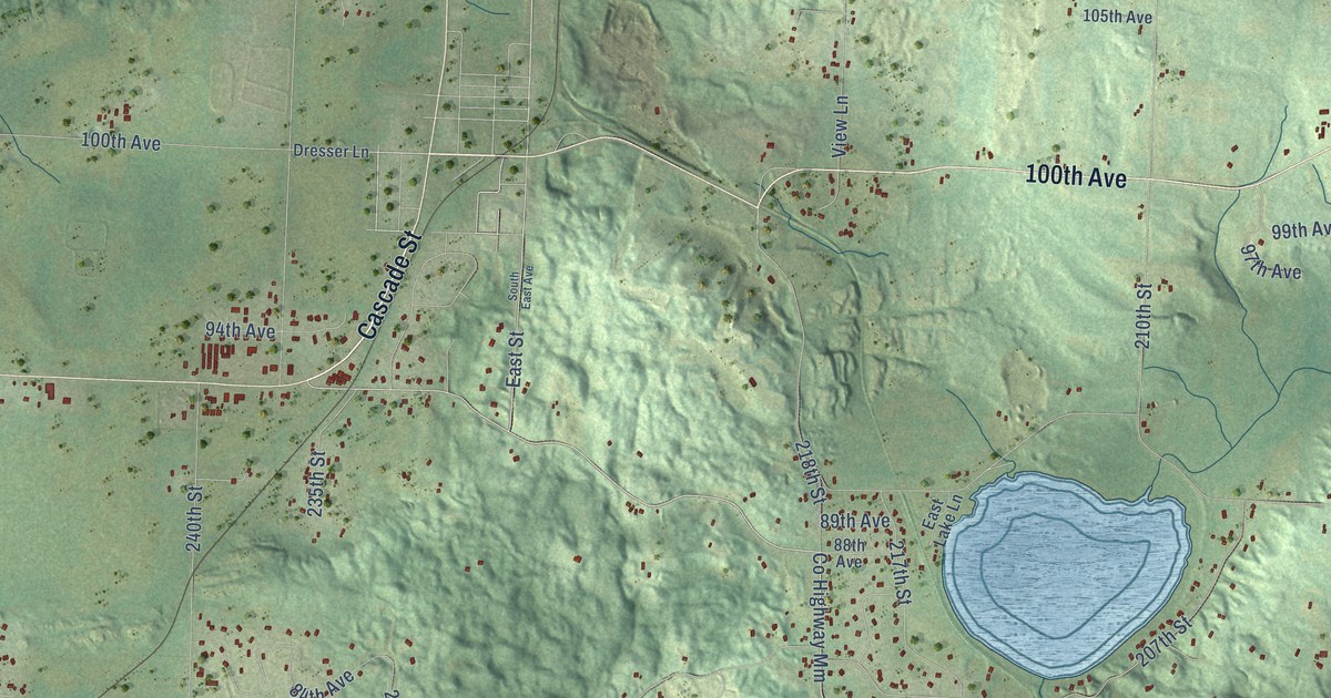
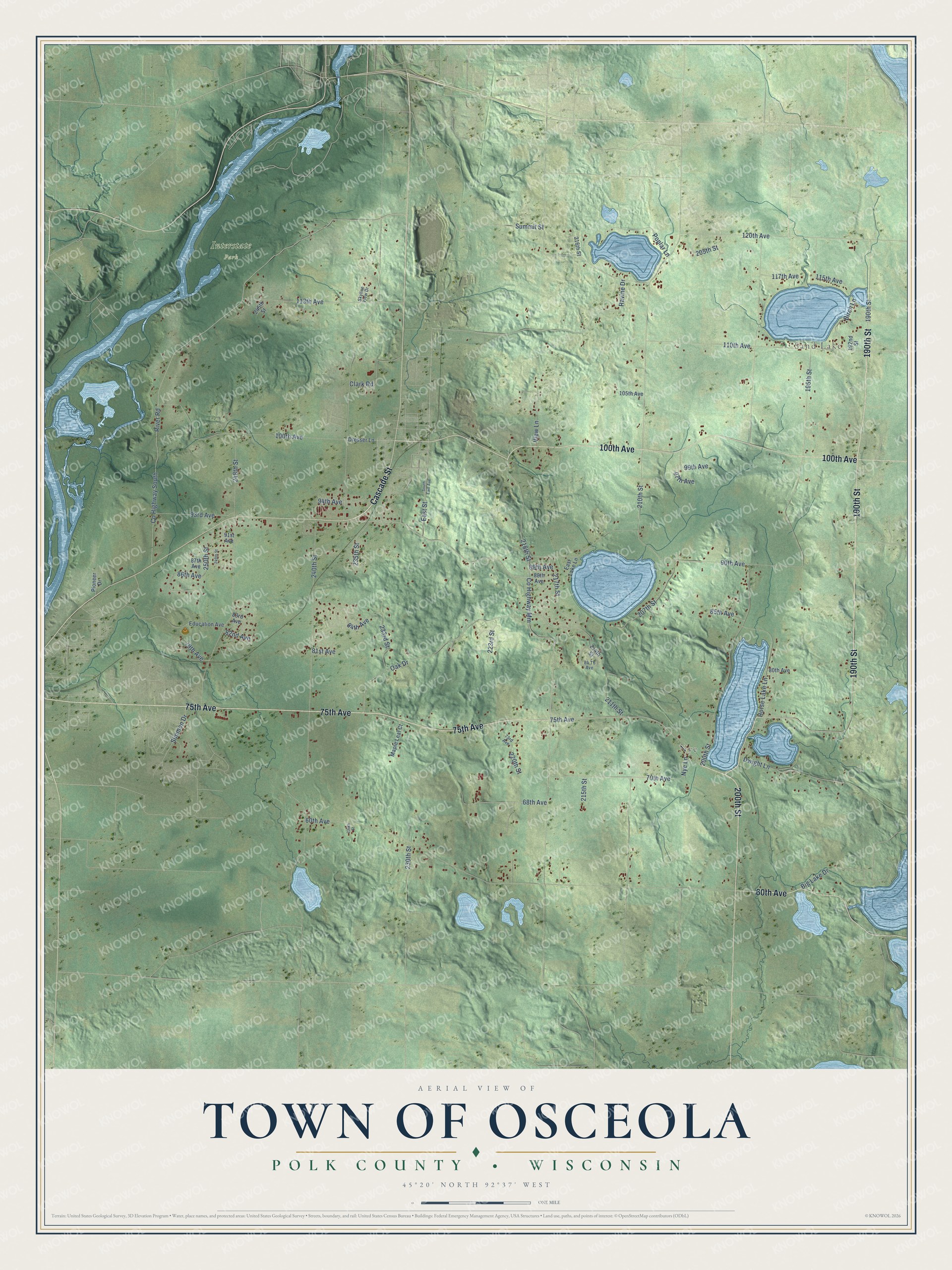
This beautifully detailed map of Osceola, Wisconsin was created in 2026 using aerial imagery combined with modern topographical, census, street and landmark data. It's a modern aerial view of Osceola in Polk County, Wisconsin, that combines modern data with a vintage aesthetic. The roads feature printed names, and if you look closely you can find your exact house accurately shown in its correct location.
Explore an aerial view of Osceola, Wisconsin
On this map you'll find Sand Lake, Nye, Interstate Park, Cascade Street, 75th Avenue, 190th Street, 100th Avenue, 60th Avenue, 200th Street, 90th Avenue, Co Highway Mm, Summit Street, and more. Each red shape is a building, so zoom in on the preview and look for yours.
Osceola has a story worth telling. The Pioneer Press Company puts it this way: "At the request of petitioners, the town of Leroy (now Osceola) was organized Nov. 9, 1852."
Osceola is a town in Polk County. The Census Bureau counted 3,023 people here in 2020.
Take a closer look at the Osceola map
Names on this map
These names are printed on this map.
Places: Sand Lake, Nye and Interstate Park.
Streets and roads: Cascade Street, 75th Avenue, 190th Street, 100th Avenue, 60th Avenue, 200th Street, 90th Avenue, County Highway Mm, Summit Street, East Street, Nye Lane, 218th Street.
More street names, A to Z
68th Avenue, 70th Avenue, 73rd Avenue, 79th Avenue, 80th Avenue, 81st Avenue, 82nd Avenue, 83rd Avenue, 84 Th Avenue, 84th Avenue, 85th Avenue, 86th Avenue, 87th Avenue, 88th Avenue, 89th Avenue, 91st Avenue, 93rd Avenue, 94th Avenue, 97th Avenue, 99th Avenue, 105th Avenue, 110th Avenue, 113th Avenue, 115th Avenue, 117th Avenue, 120th Avenue, 192nd Street, 195th Street, 205th Street, 207th Street, 210th Street, 211th Street, 214th Street, 215th Street, 216th Street, 217th Street, 220th Street, 223rd Street, 230th Street, 233rd Street, 235th Street, 236th Street, 240th Street, 245th Street, 248th Street, 249th Street, 250th Street, Big Lake Drive, Birch Lane, Clark Road, County Highway South, Dresser Lane, Dwight Lane, East Lake Lane, Education Avenue, Horse Lake Lane, Maple Leaf Court, Oak Drive, Pioneer Drive, Poplar Lane, Ravine Drive, River Road, Simmon Drive, Skyline View Drive, South East Avenue, View Lane.
Created by KNOWOL in 2026. The buildings are small red shapes, the roads carry their printed names, and shaded relief shows the shape of the land. The title panel reads "AERIAL VIEW OF TOWN OF OSCEOLA, POLK COUNTY • WISCONSIN" with 45°20' NORTH 92°37' WEST.
It looks right in a kitchen, an office or a den, and it's a gift for anyone who grew up in Osceola or moved away. Open the preview and find your street. See sizes and frames for the Town of Osceola, Polk County map.