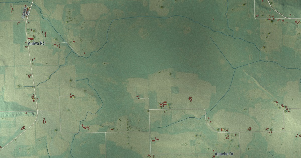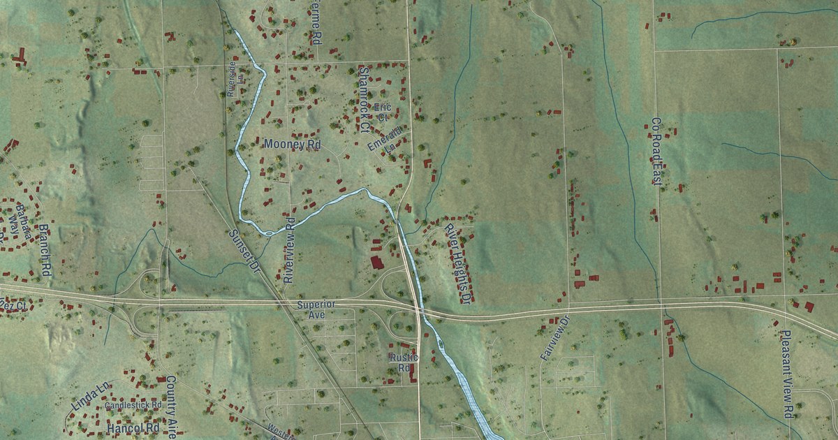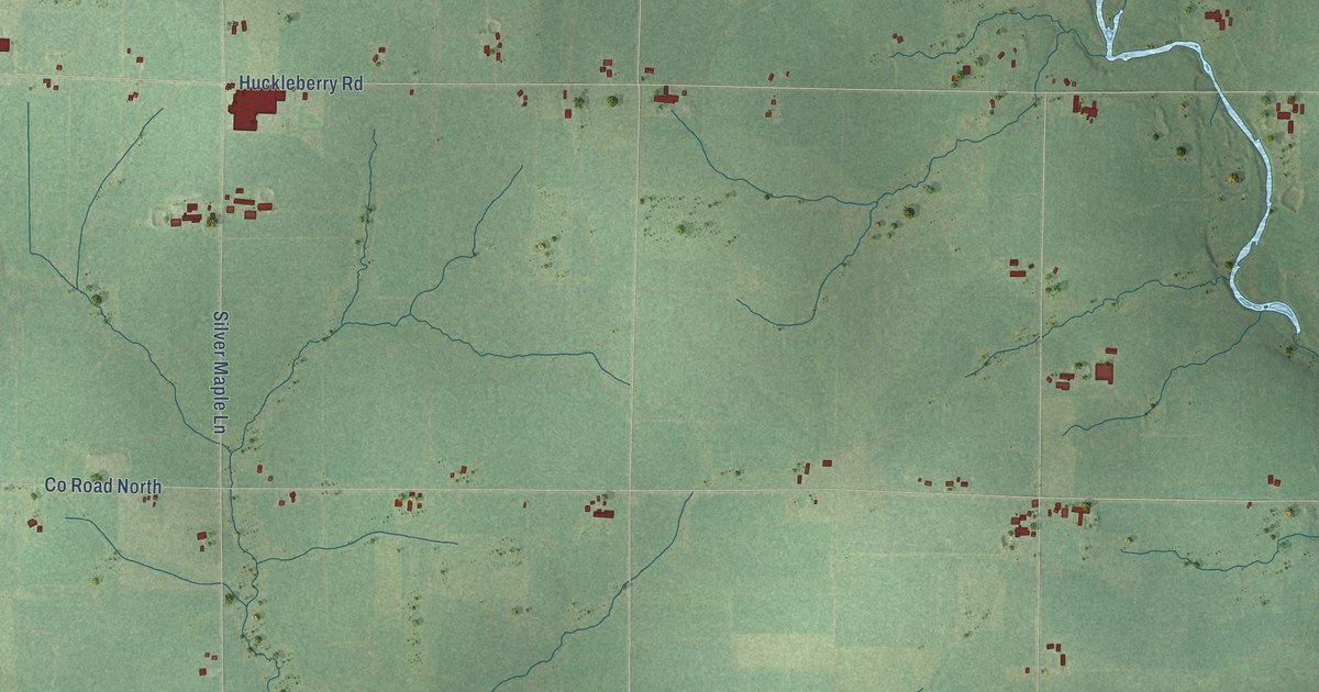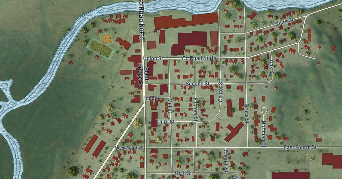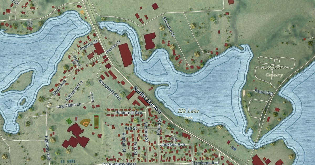
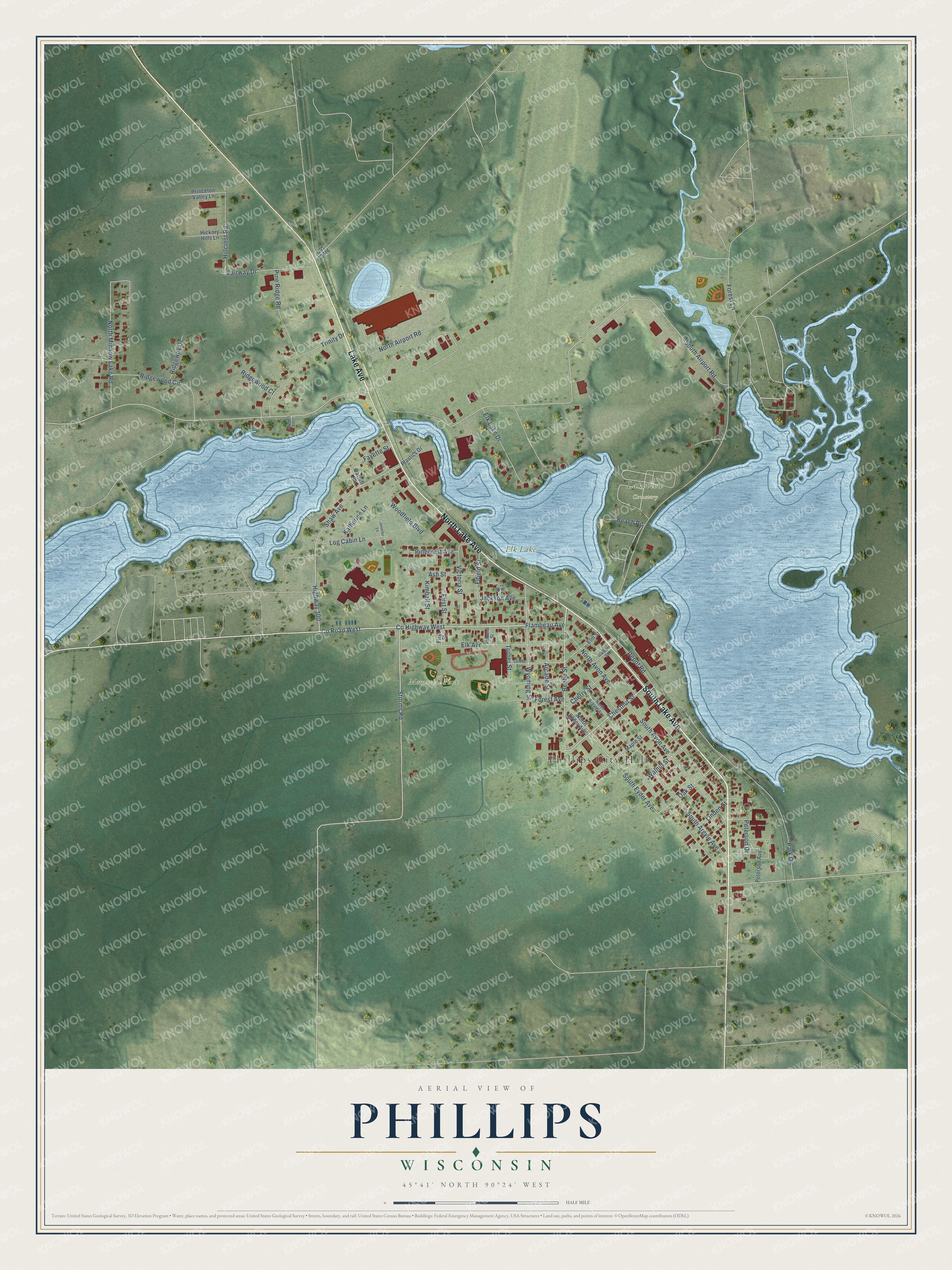
This beautifully detailed map of Phillips, Wisconsin was created in 2026 using aerial imagery combined with modern topographical, census, street and landmark data. It's a modern aerial view of Phillips in Price County, Wisconsin, that combines modern data with a vintage aesthetic. The roads feature printed names, and if you look closely you can find your exact house accurately shown in its correct location.
Explore an aerial view of Phillips, Wisconsin
On this map you'll find Phillips City Hall, Elk Lake Park, Lakeview Cemetery, Memorial Park, South Lake Avenue, Lake Avenue, North Lake Avenue, Co Highway West, Beebe Street, Chestnut Street, Co Road West, Wyoming Street, and more. Each red shape is a building, so zoom in on the preview and look for yours.
Every town has a first chapter, and Phillips is no exception. The History of Northern Wisconsin puts it this way: "The first school organized in the county was in Phillips. It was opened in a room prepared in Spaulding's warehouse, June 11, 1877, and was taught by Miss Matikla Dunn."
Phillips is a city in Price County. The Census Bureau counted 1,533 people here in 2020.
Take a closer look at the Phillips map
Names on this map
These names are printed on this map.
Places: Phillips City Hall, Elk Lake Park, Lakeview Cemetery and Memorial Park.
Streets and roads: South Lake Avenue, Lake Avenue, North Lake Avenue, County Highway West, Beebe Street, Chestnut Street, County Road West, Wyoming Street, Storms Road, South Eyder Avenue, Elk Avenue, Oak Street.
More street names, A to Z
2 Nd Street, Arcade Street, Ashland Street, Ash Street, Balsam Street, Beach Road, Center Avenue, Cherry Street, Darrell Street, Depot Road, Elk Lake Drive, Elm Street, Fairway Drive, Fayette Street, Fifield Street, First Street, Flambeau Avenue, Forest Avenue, Forest Lane, Hickory Hills Lane, Highway 100, Hillcrest Road, Jackson Avenue, Jennifer Lane, Katherine Lane, Kimball Street, Linden Street, Log Cabin Lane, Long Lake Drive, Maple Street, North Airport Road, North Argyle Avenue, North Avon Avenue, North Eyder Avenue, North Minnow Lake Road, Old 13 Road, Park Drive, Peterson Avenue, Peterson Drive, Pinecrest Avenue, Pine Ridge Road, Plastics Drive, Princeton Valley Lane, Ridgeway Drive, Ridgewood Circle, Ridgewood Court, Shaw Avenue, South Airport Road, South Argyle Avenue, South Avon Avenue, Trinity Drive, Turner Street, Victoria Street, Walnut Street, Woodfield Boulevard.
Created by KNOWOL in 2026. The buildings are small red shapes, the roads carry their printed names, and shaded relief shows the shape of the land. The title panel reads "AERIAL VIEW OF PHILLIPS, WISCONSIN" with 45°41' NORTH 90°24' WEST.
Hang it in the hallway, the office or the cabin, or give it to someone who left Phillips and still calls it home. Open the preview and look for a street you know. See sizes and frames for the Phillips map.