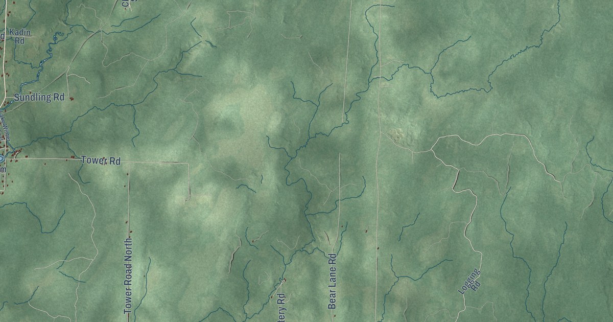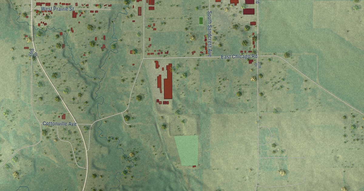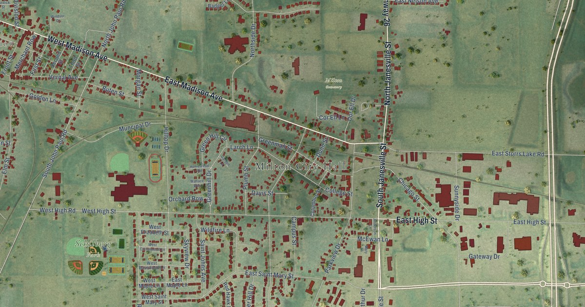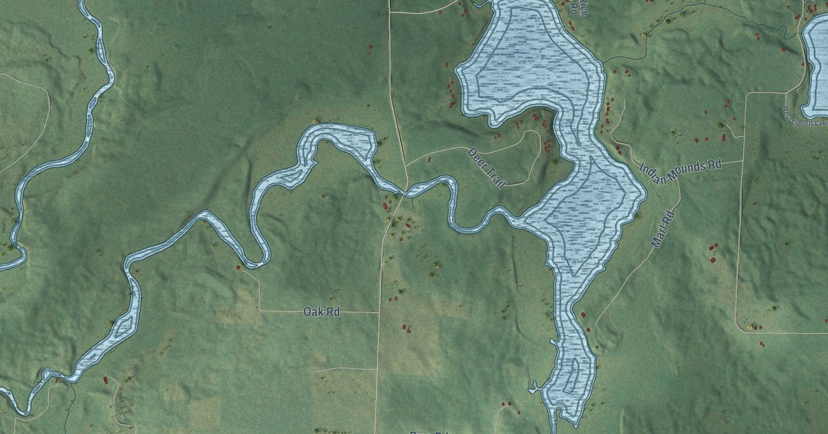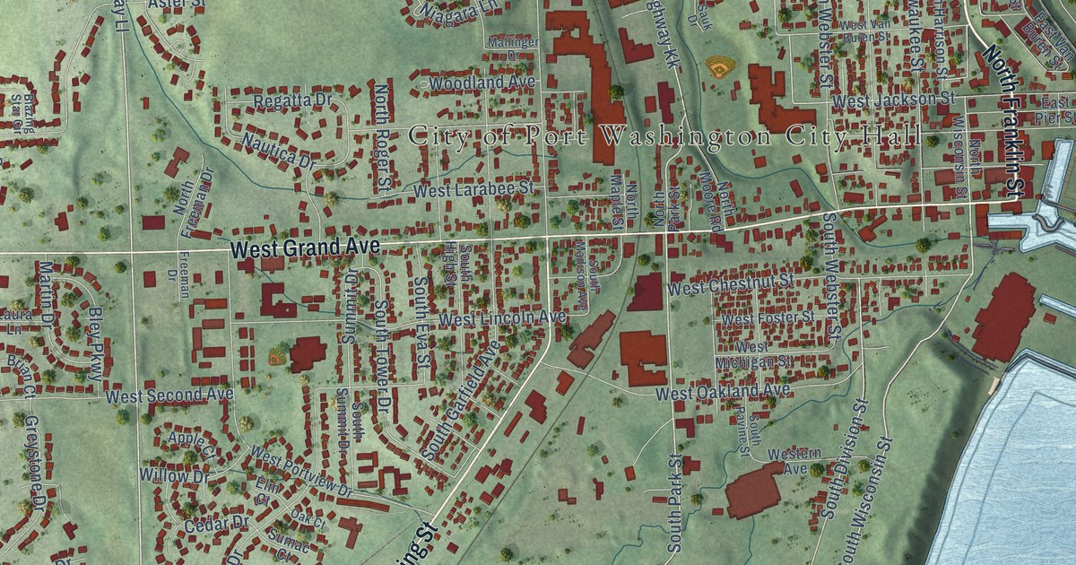
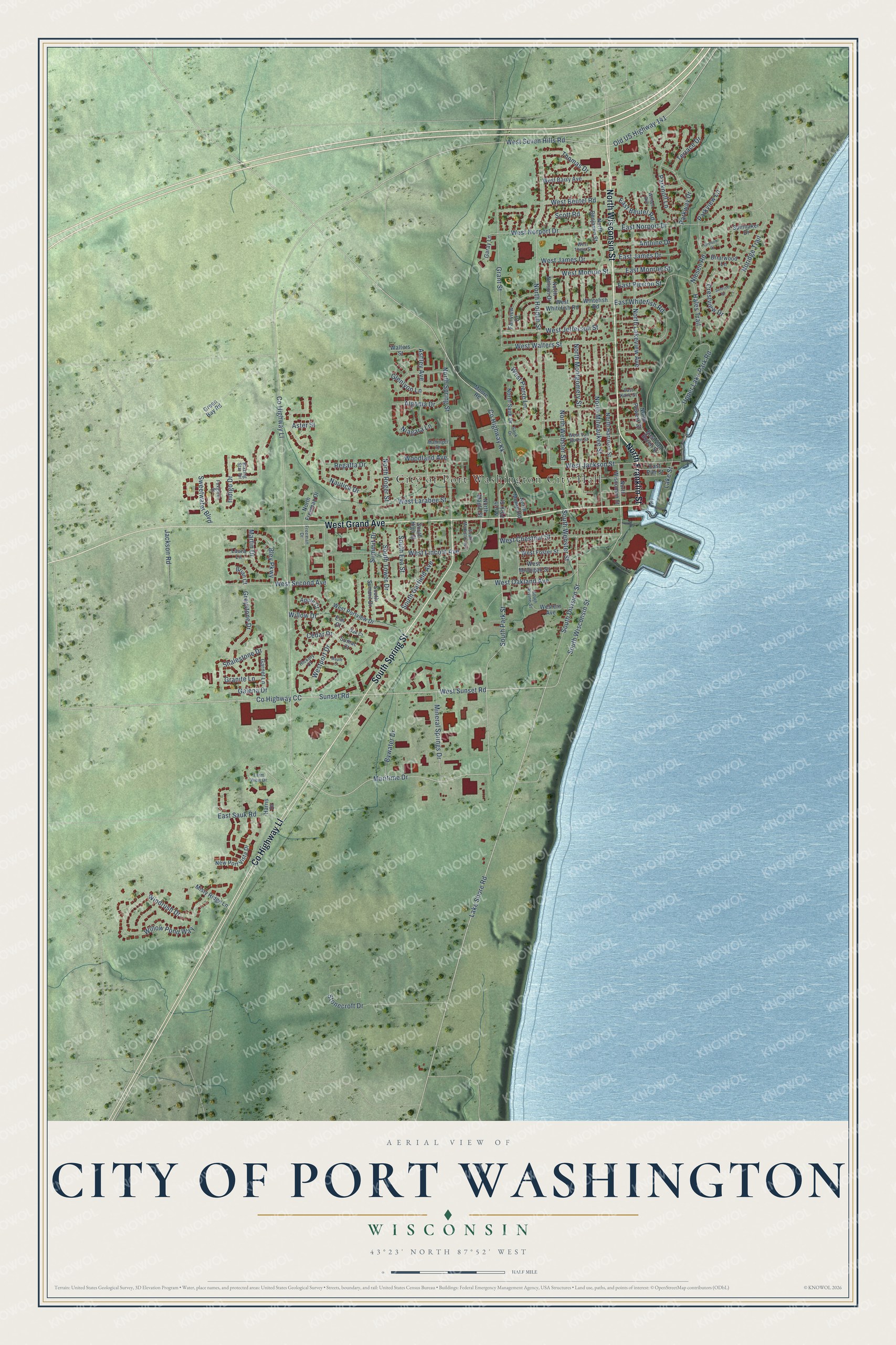
This beautifully detailed map of Port Washington, Wisconsin was created in 2026 using aerial imagery combined with modern topographical, census, street and landmark data. It's a modern aerial view of Port Washington in Ozaukee County, Wisconsin, that combines modern data with a vintage aesthetic. The roads feature printed names, and if you look closely you can find your exact house accurately shown in its correct location.
Explore an aerial view of Port Washington, Wisconsin
On this map you'll find City of Port Washington City Hall, North Wisconsin Street, North Franklin Street, West Grand Avenue, South Spring Street, Co Highway Ll, South Wisconsin Street, Old US Highway 141, Co Highway CC, Maritime Drive, South Park Street, Lake Shore Road, and more. Each red shape is a building, so zoom in on the preview and look for yours.
Here is a piece of Port Washington history, in the words of the record. The History of Washington and Ozaukee Counties puts it this way: "The first post office was established as Washington, receiving its present name of Port Washington from George C. Daniels, in 1844. The founders of Wisconsin City carried on a brisk trade for a period of two years."
Port Washington is a city in Ozaukee County. The Census Bureau counted 12,353 people here in 2020.
Take a closer look at the Port Washington map
Names on this map
These names are printed on this map.
Places: City of Port Washington City Hall.
Streets and roads: North Wisconsin Street, North Franklin Street, West Grand Avenue, South Spring Street, County Highway Ll, South Wisconsin Street, Old US Highway 141, County Highway CC, Maritime Drive, South Park Street, Lake Shore Road, County Highway Kk.
More street names, A to Z
Algoma Drive, Antoine Drive, Apple Court, Ashley Avenue, Aster Street, Blazing Star Circle, Bley Parkway, Brian Court, Briarwood Lane, Bywater Drive, Cedar Drive, Crestview Drive, East Beutel Road, East James Drive, East Kane Street, East Monroe Street, East Norport Drive, East Pierron Street, East Pier Street, East Sauk Road, East Van Buren Street, East Whitefish Road, Elm Court, Fairview Drive, Farm View Drive, Foxglove Street, Freeman Drive, Galena Drive, Garay Lane, Garnet Lane, Glenlyon Lane, Granite Lane, Grant Street, Green Bay Road, Greisch Court, Greystone Drive, Hales Trail, Harris Drive, Hickory Court, Indigo Drive, Jackson Road, Lake Street, Laura Lane, Mallinger Drive, Maple Court, Martin Drive, Mineral Springs Drive, Misty Ridge Lane, Moore Road, Nautica Drive, New Port Vista Drive, Niagara Lane, Niesen Road, Noridge Trail, North Benjamin Street, North Freeman Drive, North Harrison Street, North Holden Street, North Lakeview Avenue, North Maple Street, North Milwaukee Street, North Montgomery Street, North Moore Road, North Nelson Drive, North Park Street, North Powers Street, North Roger Street, North Sauk Drive, North Spring Street, North Webster Street, Oak Court, Parknoll Lane, Parkview Lane, Parkway Drive, Regatta Drive, Sauk Drive, Scott Road, Shalestone Drive, South Division Street, South Eva Street, South Garfield Avenue, South High Street, South Madison Avenue, South Ravine Street, South Summit Drive, South Tower Drive, South Webster Street, Spinnaker Drive, Stonecroft Drive, Sumac Court, Summit Drive, Sunrise Drive, Sunset Road, Sweetwater Boulevard, Terrace Drive, Thomas Drive, Upper Lake Park Road, Walters Street, West Barry Avenue, West Beutel Road, West Chestnut Street, Western Avenue, West Foster Street, West Jackson Street, West James Drive, West Jefferson Street, West Larabee Street, West Lincoln Avenue, West Michigan Street, West Monroe Street, West Norport Drive, West Oakland Avenue, West Pierre Lane, Westport Drive, West Portview Drive, West Second Avenue, West Seven Hills Road, West Sunset Road, West Theis Street, West Van Buren Street, West Walters Street, West Whitefish Road, Whitefish Road, Willow Drive, Willow Pond Way, Wilson Avenue, Windrush Drive, Woodland Avenue.
Created by KNOWOL in 2026. The buildings are small red shapes, the roads carry their printed names, and shaded relief shows the shape of the land. The title panel reads "AERIAL VIEW OF CITY OF PORT WASHINGTON, WISCONSIN" with 43°23' NORTH 87°52' WEST.
It suits a den, a classroom or a front hall, and it makes a gift for anyone with Port Washington roots. Open the preview and find the block you know. See sizes and frames for the Port Washington map.