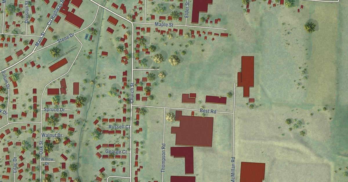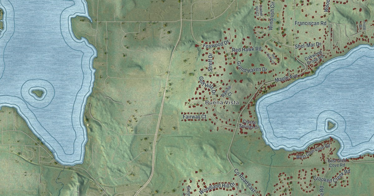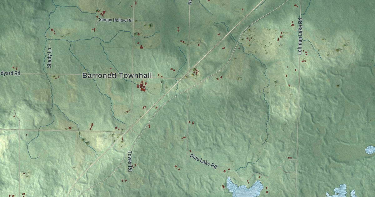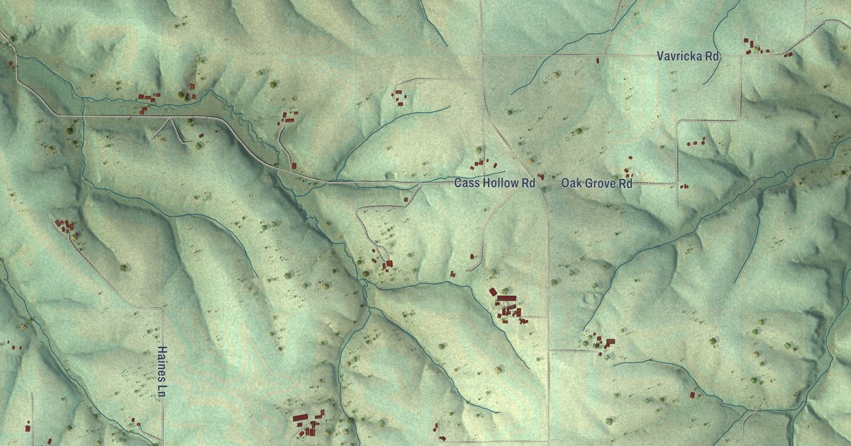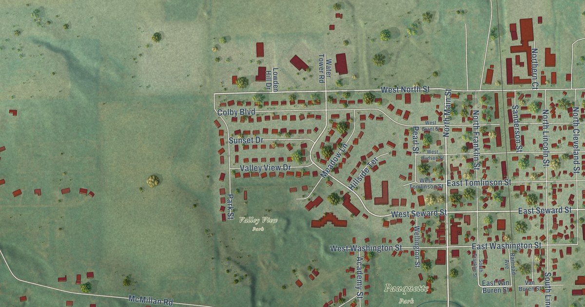
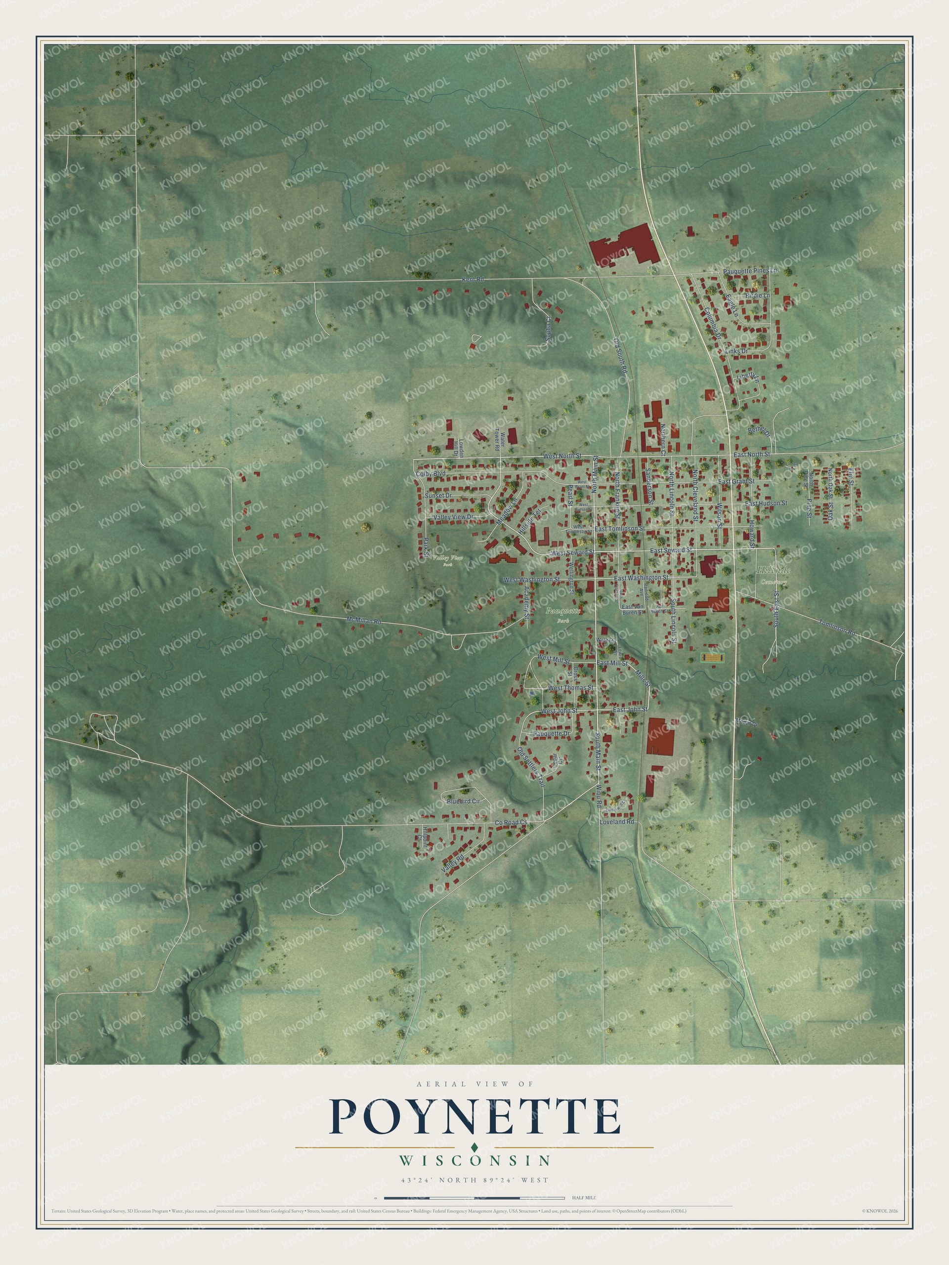
This beautifully detailed map of Poynette, Wisconsin was created in 2026 using aerial imagery combined with modern topographical, census, street and landmark data. It's a modern aerial view of Poynette in Columbia County, Wisconsin, that combines modern data with a vintage aesthetic. The roads feature printed names, and if you look closely you can find your exact house accurately shown in its correct location.
Explore an aerial view of Poynette, Wisconsin
On this map you'll find Hillside Cemetery, Pauquette Park, Valley View Park, North Main Street, South Main Street, South East Street, East Seward Street, East John Street, Mills Street, West North Street, West Seward Street, West John Street, and more. Each red shape is a building, so zoom in on the preview and look for yours.
Here is a piece of Poynette history, in the words of the record. The History of Columbia County puts it this way: "No effort was ever made to change the name, and when the village was again laid out it was called Poynette, after the name of the post office. The first plat of the village was made in 1851, by Samuel B. Pinney, and comprised the northeast quarter of the southeast quarter of Section 34."
Poynette is a village in Columbia County. The Census Bureau counted 2,590 people here in 2020.
Take a closer look at the Poynette map
Names on this map
These names are printed on this map.
Places: Hillside Cemetery, Pauquette Park and Valley View Park.
Streets and roads: North Main Street, South Main Street, South East Street, East Seward Street, East John Street, Mills Street, West North Street, West Seward Street, West John Street, East Mill Street, East Washington Street, McMillan Road.
More street names, A to Z
Academy Street, Bethel Drive, Birdie Lane, Bluebird Circle, Cedar Circle, Colby Boulevard, Columbia Drive, County Road Cs, Cross Street, Eagle Lane, East Grant Street, East Hudson Street, East North Street, East Tomlinson Street, East Van Buren Street, Elm Street, Hillpoint Court, Hillside Terrace, Howard Street, Kent Road, Lewis Street, Liberty Lane, Linden Lane, Linderwell Court, Links Drive, Loveland Road, Lowden Hill Drive, Meadow Lane, Mopar Drive, North Cleveland Street, Northern Court, North Franklin Street, North Lincoln Street, North Oak Street, North Pine Street, Oak Street, Old Settlers Trail, Old South Road, Park Street, Pauquette Drive, Pauquette Pines Lane, Pearl Street, Pine Street, Railroad Avenue, Sanderson Street, Sopha Court, South Franklin Street, South Lincoln Street, Sunset Drive, Tomlinson Road, Valley Road, Valley View Drive, Van Buren Street, Water Street, Water Tower Road, Wellington Street, West Grant Street, West Hudson Street, West Mill Street, West Thomas Street, West Tomlinson Street, West Washington Street, Wibu Road, Wilson Street.
Created by KNOWOL in 2026. The buildings are small red shapes, the roads carry their printed names, and shaded relief shows the shape of the land. The title panel reads "AERIAL VIEW OF POYNETTE, WISCONSIN" with 43°24' NORTH 89°24' WEST.
It suits a den, a classroom or a front hall, and it makes a gift for anyone with Poynette roots. Open the preview and find the block you know. See sizes and frames for the Poynette map.