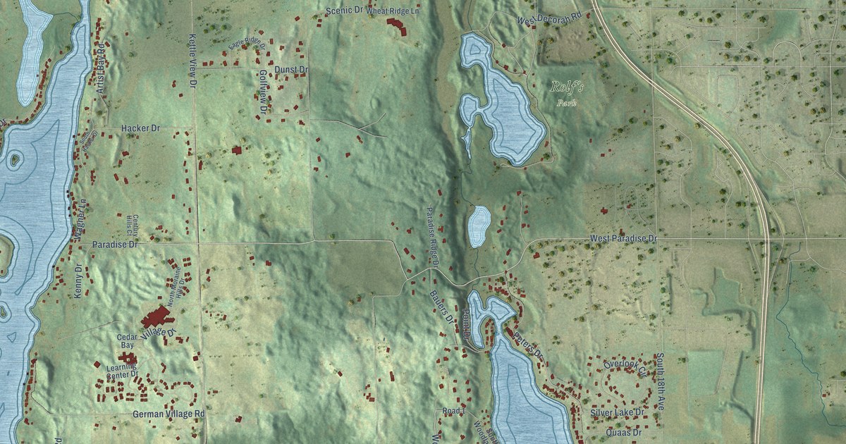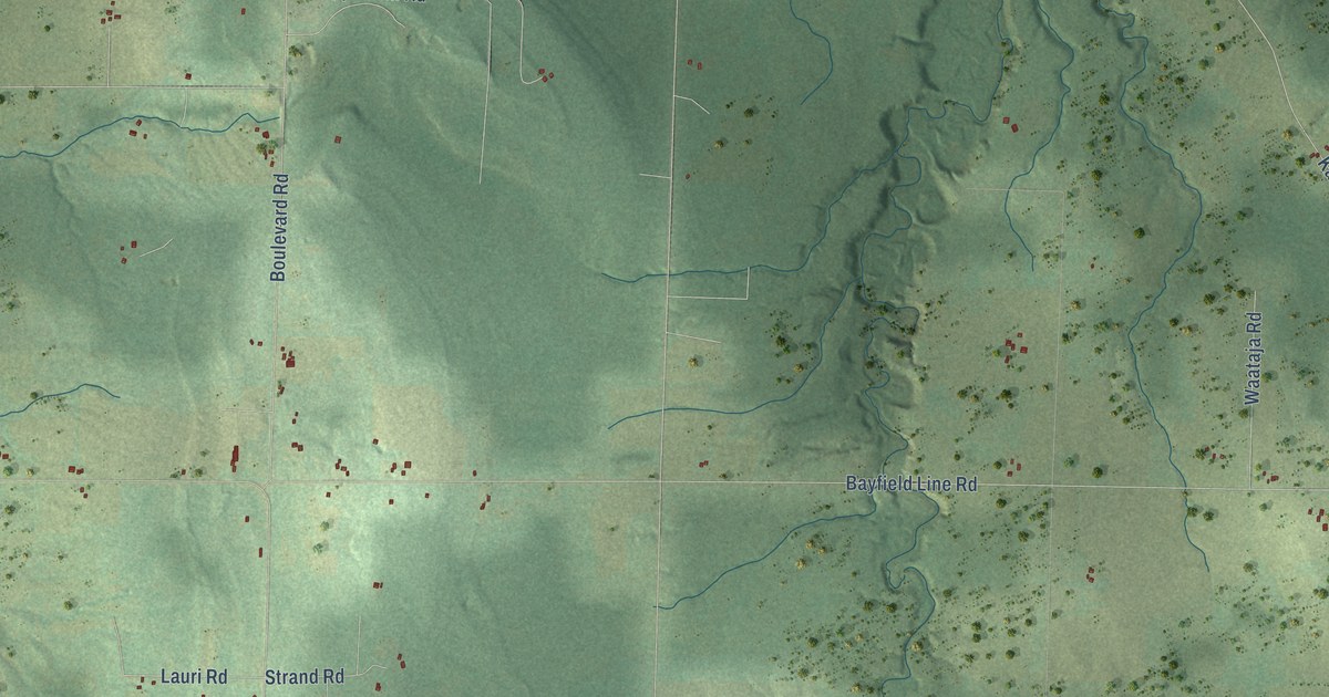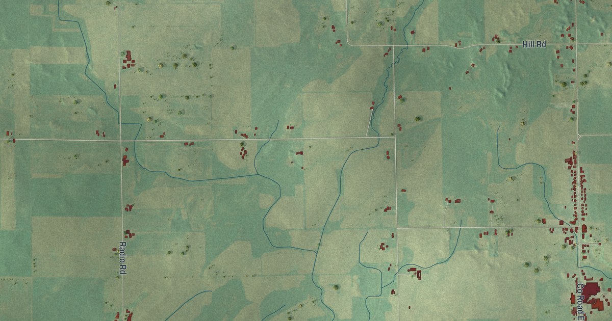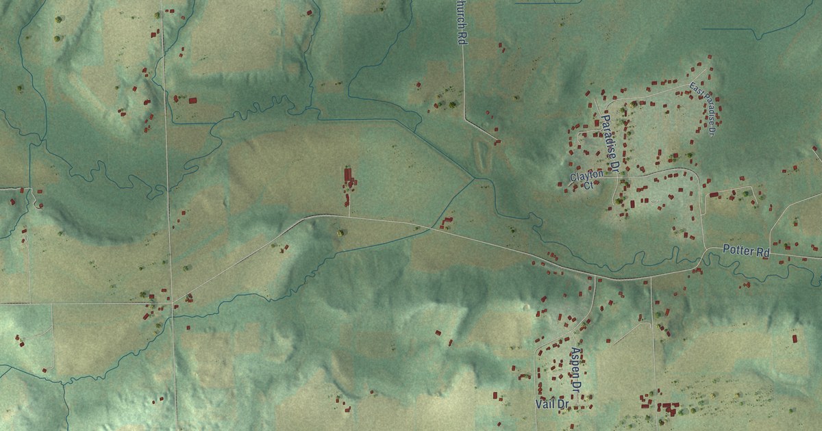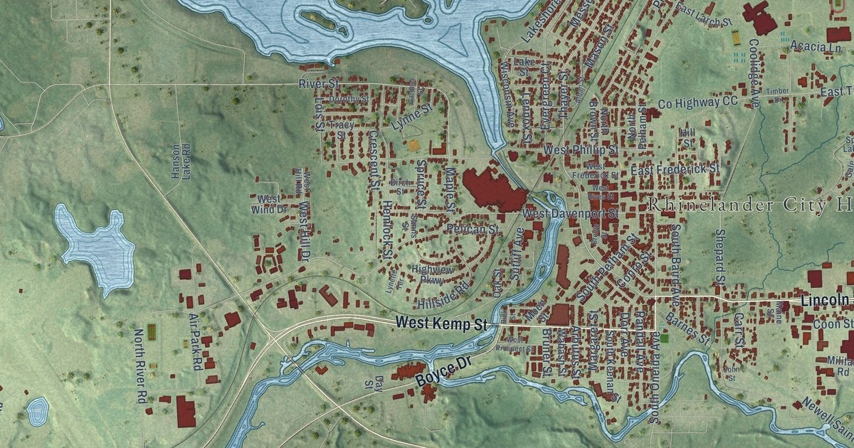
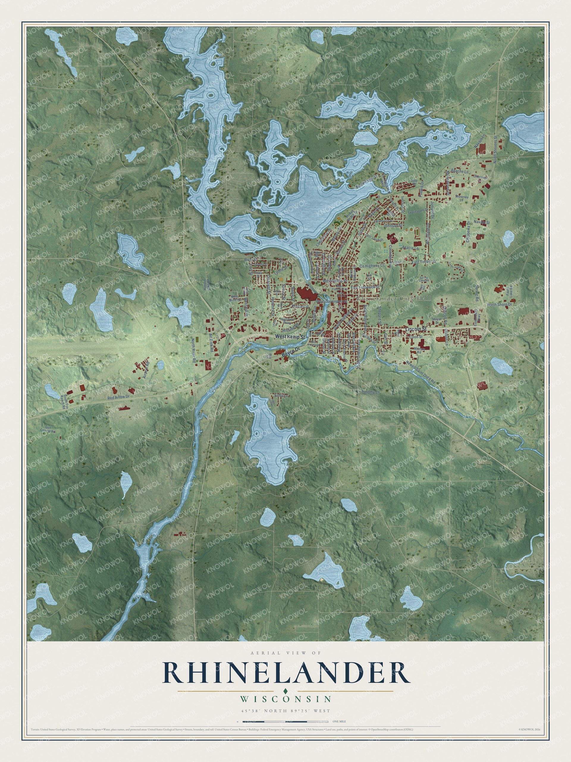
This beautifully detailed map of Rhinelander, Wisconsin was created in 2026 using aerial imagery combined with modern topographical, census, street and landmark data. It's a modern aerial view of Rhinelander in Oneida County, Wisconsin, that combines modern data with a vintage aesthetic. The roads feature printed names, and if you look closely you can find your exact house accurately shown in its correct location.
Explore an aerial view of Rhinelander, Wisconsin
On this map you'll find Rhinelander City Hall, Lincoln Street, West Kemp Street, Boyce Drive, Thayer Street, South Oneida Avenue, Eagle Street, Pinos Street, West Davenport Street, North Stevens Street, North River Road, East Frederick Street, and more. Each red shape is a building, so zoom in on the preview and look for yours.
Rhinelander has a story worth telling. The U.S. Geological Survey puts it this way: "Named for F. W. Rhinelander, president of the Milwaukee, Lake Shore and Western Railway."
Rhinelander is a city in Oneida County. The Census Bureau counted 8,285 people here in 2020.
Take a closer look at the Rhinelander map
Names on this map
These names are printed on this map.
Places: Rhinelander City Hall.
Streets and roads: Lincoln Street, West Kemp Street, Boyce Drive, Thayer Street, South Oneida Avenue, Eagle Street, Pinos Street, West Davenport Street, North Stevens Street, North River Road, East Frederick Street, Apache Lane.
More street names, A to Z
Acacia Lane, Air Park Road, Airport Road, Alban Street, Arbutus Street, Barnes Street, Birch Street, Brown Street, Bruner Street, Carr Street, Cherokee Lane, Chippewa Drive, Conro Street, Coolidge Avenue, Coon Street, County Highway CC, County Highway West, Crescent Street, Curran Street, Day Street, Dorothy Street, Dorr Avenue, Driscoll Road, Dwight Street, East Larch Street, East Monico Street, East Timber Drive, Echo Lane, Eisenhower Parkway, Evergreen Court, Faust Lake Road, Gale Hill, Gardner Street, Golf Course Road, Hanson Lake Road, Hemlock Street, Highview Parkway, Hillside Road, Hill Street, Hodag Beach Drive, Iverson Street, Johnson Street, John Street, Juniper Drive, Lake Julia Road, Lakeshore Drive, Lake Street, Lennox Street, Lois Street, Lynette Terrace, Lynne Street, Maine Street, Maple Street, Margaret Street, Mason Street, Menominee Drive, Messer Street, Meyer Drive, Military Road, Moen Street, Navajo Lane, Navajo Street, Newell Saint Old 8 Road, North Brown Street, North Eagle Street, North Pelham Street, North Shore Drive, Oak Street, Ohlson Lane, Pelican Street, Pine Street, Pueblo Drive, Randall Avenue, Red Arrow Drive, Riek Street, River Street, Sanns Street, Shawnee Lane, Shepard Street, South Baird Avenue, South Fox Ranch Road, South Keenan Street, South Petham Street, Spring Lake Road, Spring Road, Spruce Street, Sutliff Avenue, Thornapple Drive, Timber Drive, Timber Heights Drive, Timothy Lane, Tracy Street, Vincent Street, Wabash Street, West Frederick Street, West Hill Drive, West Hill Road, West Phillip Street, West Prospect Street, West Rives Street, West Wind Drive, Wisconsin Avenue, Woodland Drive.
Created by KNOWOL in 2026. The buildings are small red shapes, the roads carry their printed names, and shaded relief shows the shape of the land. The title panel reads "AERIAL VIEW OF RHINELANDER, WISCONSIN" with 45°38' NORTH 89°25' WEST.
It looks right in a kitchen, an office or a den, and it's a gift for anyone who grew up in Rhinelander or moved away. Open the preview and find your street. See sizes and frames for the Rhinelander map.