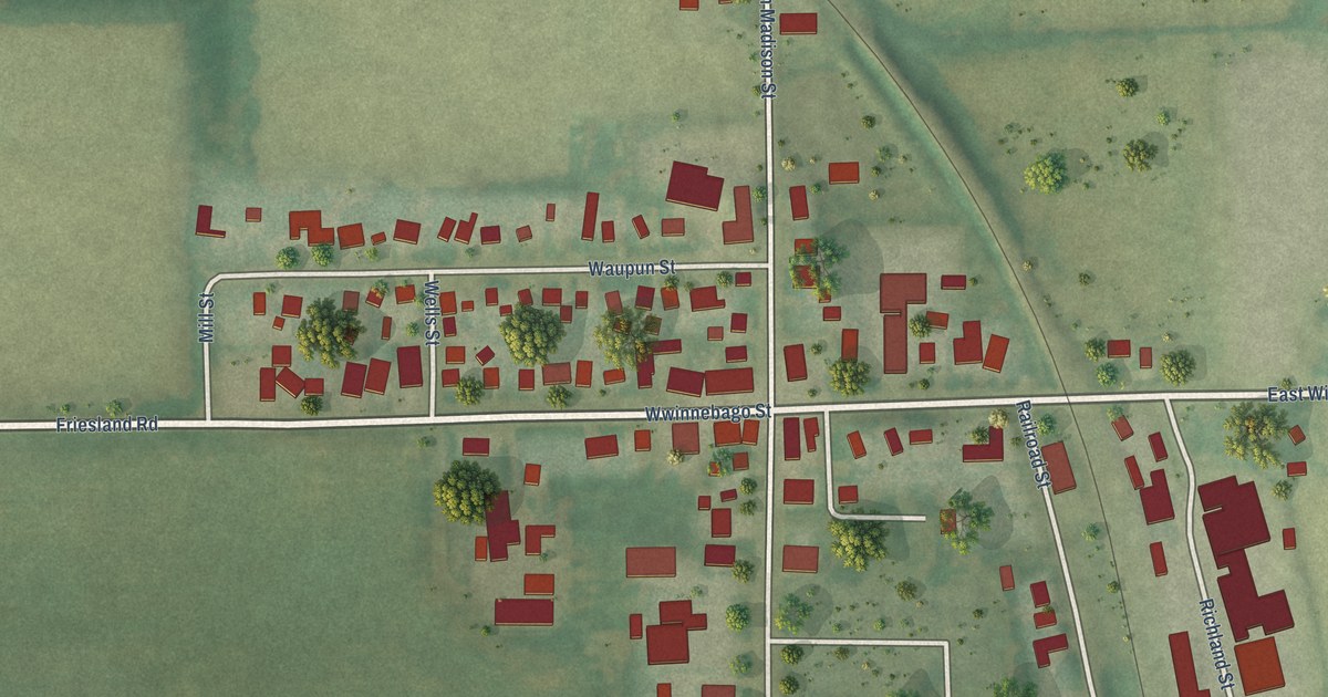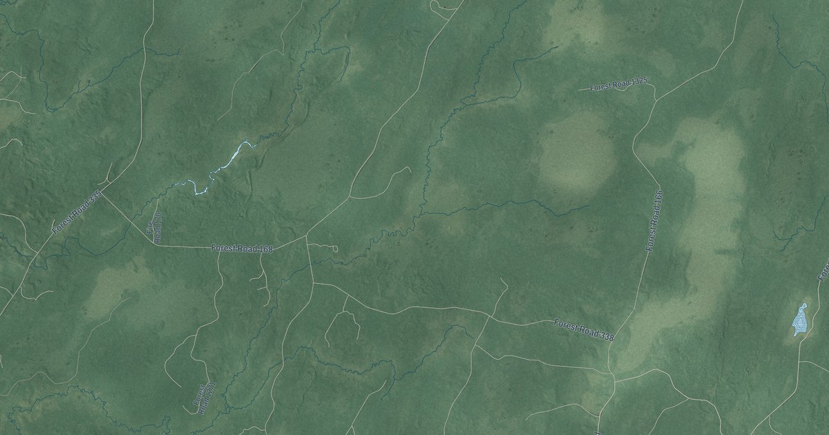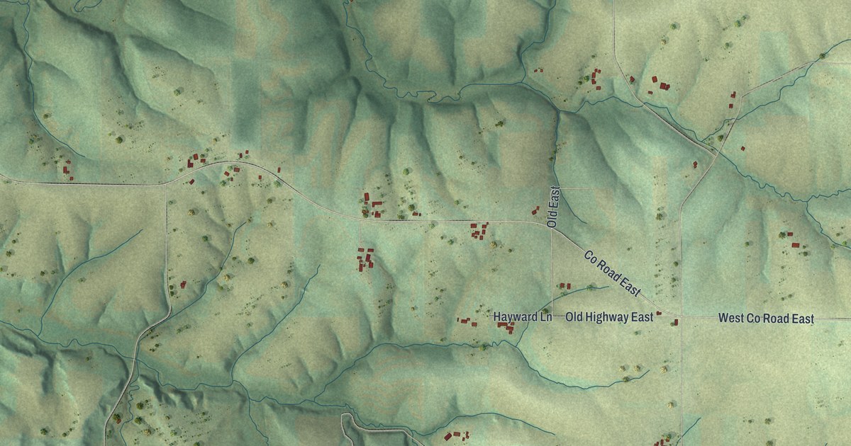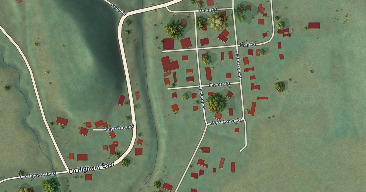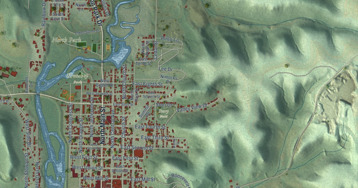
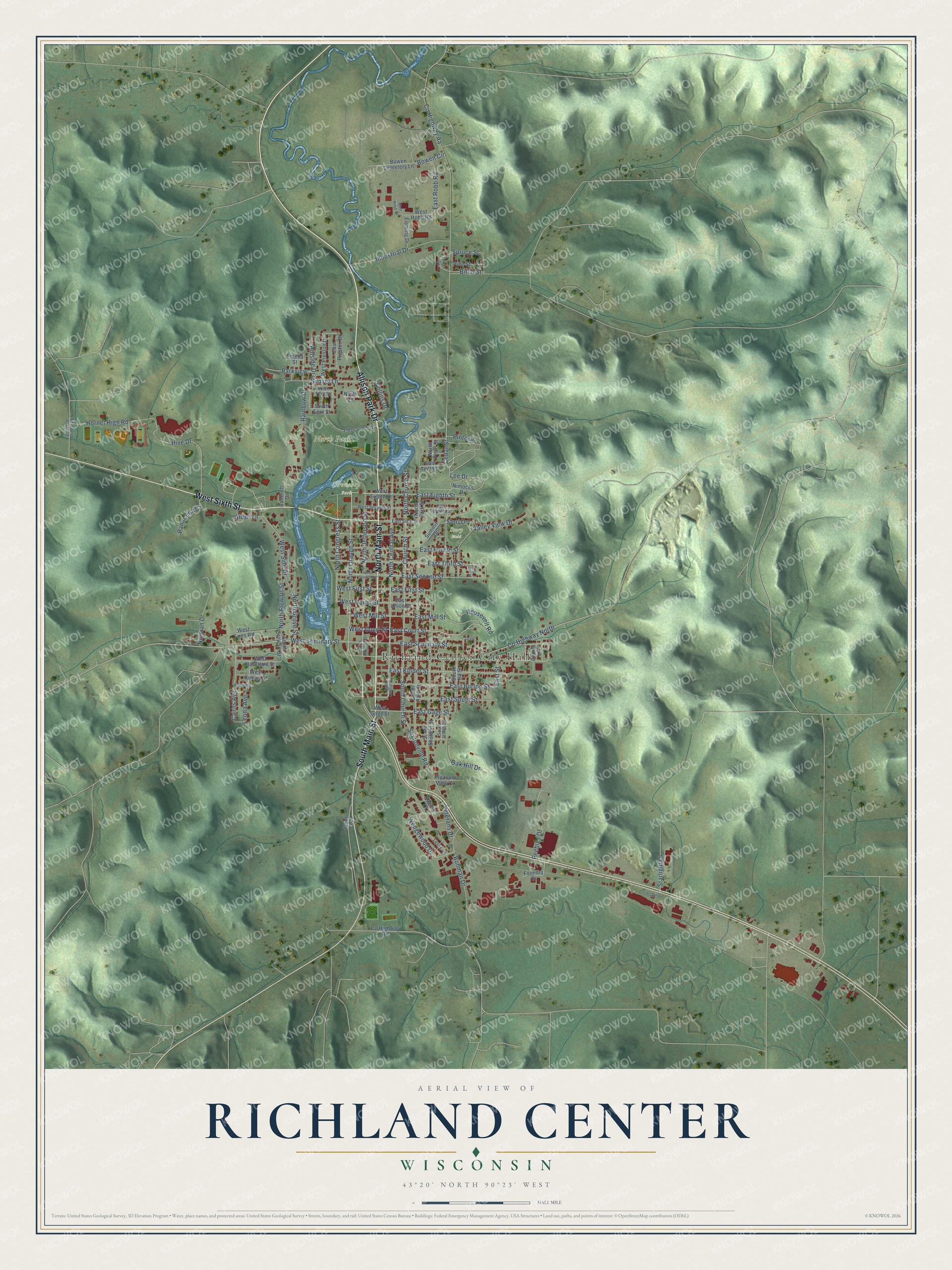
This beautifully detailed map of Richland Center, Wisconsin was created in 2026 using aerial imagery combined with modern topographical, census, street and landmark data. It's a modern aerial view of Richland Center in Richland County, Wisconsin, that combines modern data with a vintage aesthetic. The roads feature printed names, and if you look closely you can find your exact house accurately shown in its correct location.
Explore an aerial view of Richland Center, Wisconsin
On this map you'll find Richland Center City Hall, Krouskop Park, North Park, Story Field, North Main Street, West Sixth Street, Allison Park Drive, South Main Street, North Orange Street, East Court Street, West Court Street, East Eighth Street, and more. Each red shape is a building, so zoom in on the preview and look for yours.
Richland Center has a story worth telling. The Richland County History puts it this way: "The first cabinet shop at Richland Center was opened in 1858, by William Wilson."
Richland Center is a city in Richland County. The Census Bureau counted 5,114 people here in 2020.
Take a closer look at the Richland Center map
Names on this map
These names are printed on this map.
Places: Richland Center City Hall, Krouskop Park, North Park and Story Field.
Streets and roads: North Main Street, West Sixth Street, Allison Park Drive, South Main Street, North Orange Street, East Court Street, West Court Street, East Eighth Street, Lee Drive, East Second Street, East Third Street, North Congress Street.
More street names, A to Z
Arbor Lane, Arnell Drive, Bancroft Drive, Birch Street, Bohman Drive, Bowen Cemetery Lane, Bowen Circle, Cairns Avenue, Cedar Street, Center Lane, Church Street, Collins Drive, County Highway Aa, County Highway North, County Highway Oo, Covered Bridge Road, East Burton Street, East First Street, East Fourth Street, East Gage Street, East Kinder Street, East Mill Street, East Preston Drive, East Robb Road, East Seminary Street, East Seventh Street, East Sixth Street, East South Street, East Street, East Tenth Street, East Union Street, Eldon Storer Drive, Emelia Street, Fairview, Fleming Drive, Foundry Drive, Hillside Drive, Hive Drive, Hornet High Road, Industrial Drive, Jarvis, Koenig Court, Leona Avenue, Leslie Drive, Nimocks Drive, Norman Drive, North Central Avenue, North Church Street, North Fern Street, North Grove Street, North Jefferson Street, North Lane, North Park Street, North Pearl Street, North Stewart Street, Oak Hill Drive, Oman Drive, Panorama Court, Parkview, Peebles Drive, Pine Street, Pinto Lane, Pleasant View Court, Rainbow Drive, Richland Square, Roosevelt Road, Sextonville Road, South Central Avenue, South Church Street, South Fern Street, South Ira Street, South James Street, South Jefferson Street, South Park Street, South Sheldon Street, South Stewart Street, Spruce Street, Starlight Lane, Stori Drive, Summit Drive, Sunset Lane, Valley View Drive, Veterans Drive, Walnut Street, Wedgewood Drive, West Eighth Street, West First Street, West Fries Road, West Gage Street, West Haseltine Street, West Kinder Street, West Mill Street, West Preston Drive, West Robb Drive, West Robb Road, West Second Street, West Seminary Street, West Seventh Street, West Side Drive, West Union Street.
Created by KNOWOL in 2026. The buildings are small red shapes, the roads carry their printed names, and shaded relief shows the shape of the land. The title panel reads "AERIAL VIEW OF RICHLAND CENTER, WISCONSIN" with 43°20' NORTH 90°23' WEST.
It looks right in a kitchen, an office or a den, and it's a gift for anyone who grew up in Richland Center or moved away. Open the preview and find your street. See sizes and frames for the Richland Center map.