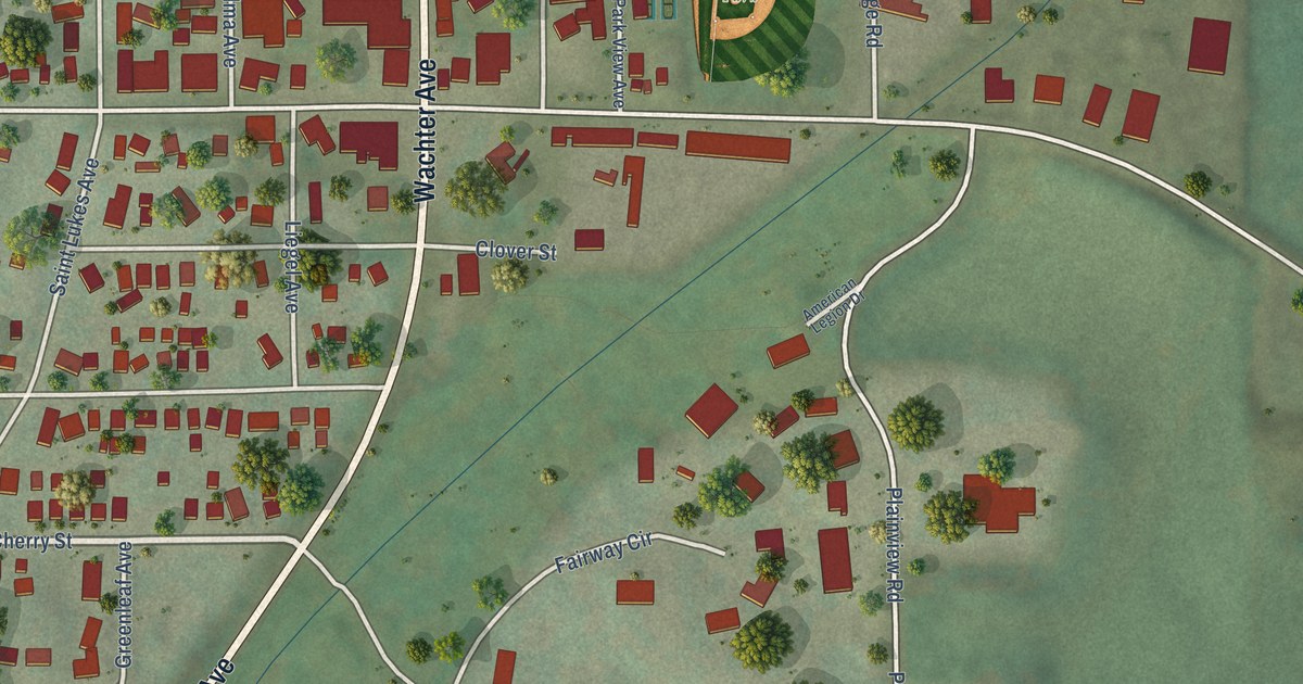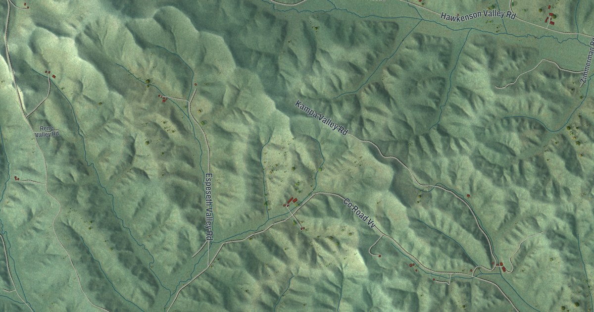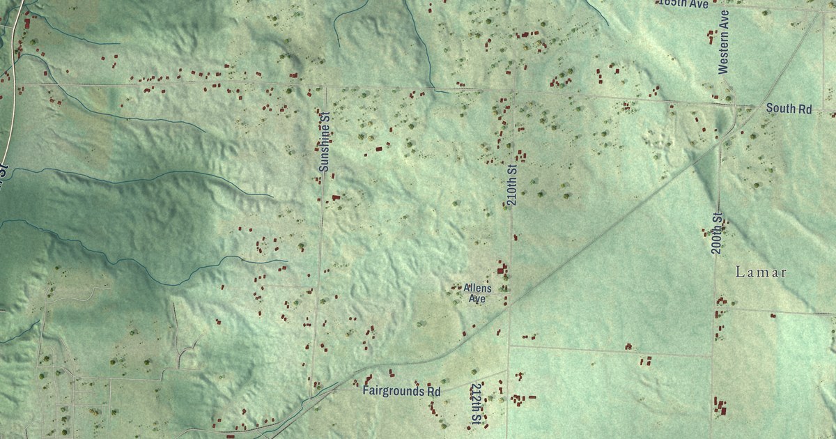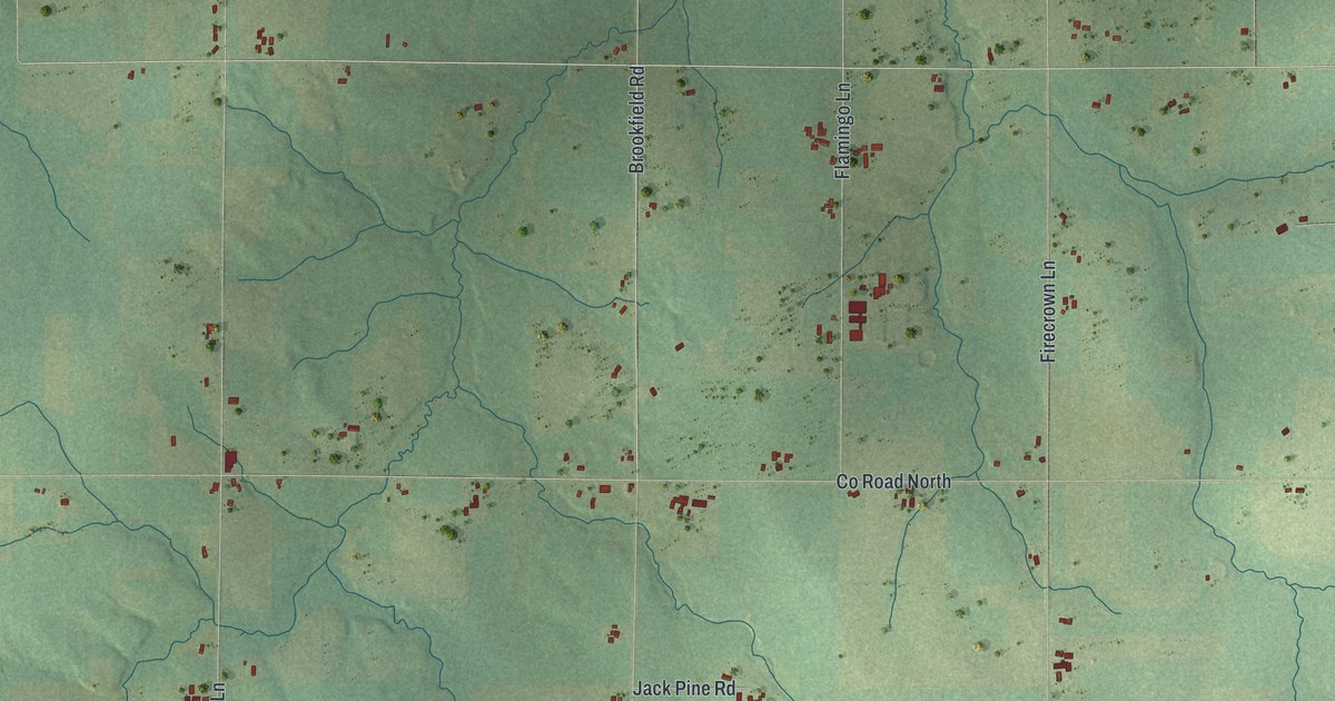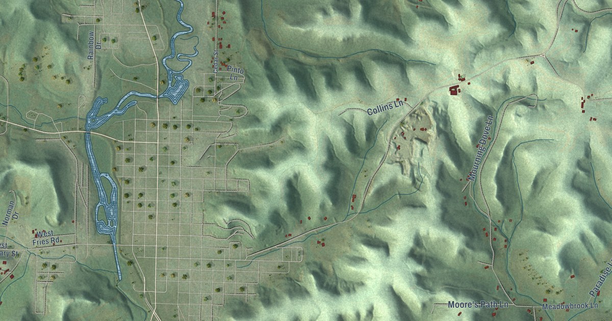
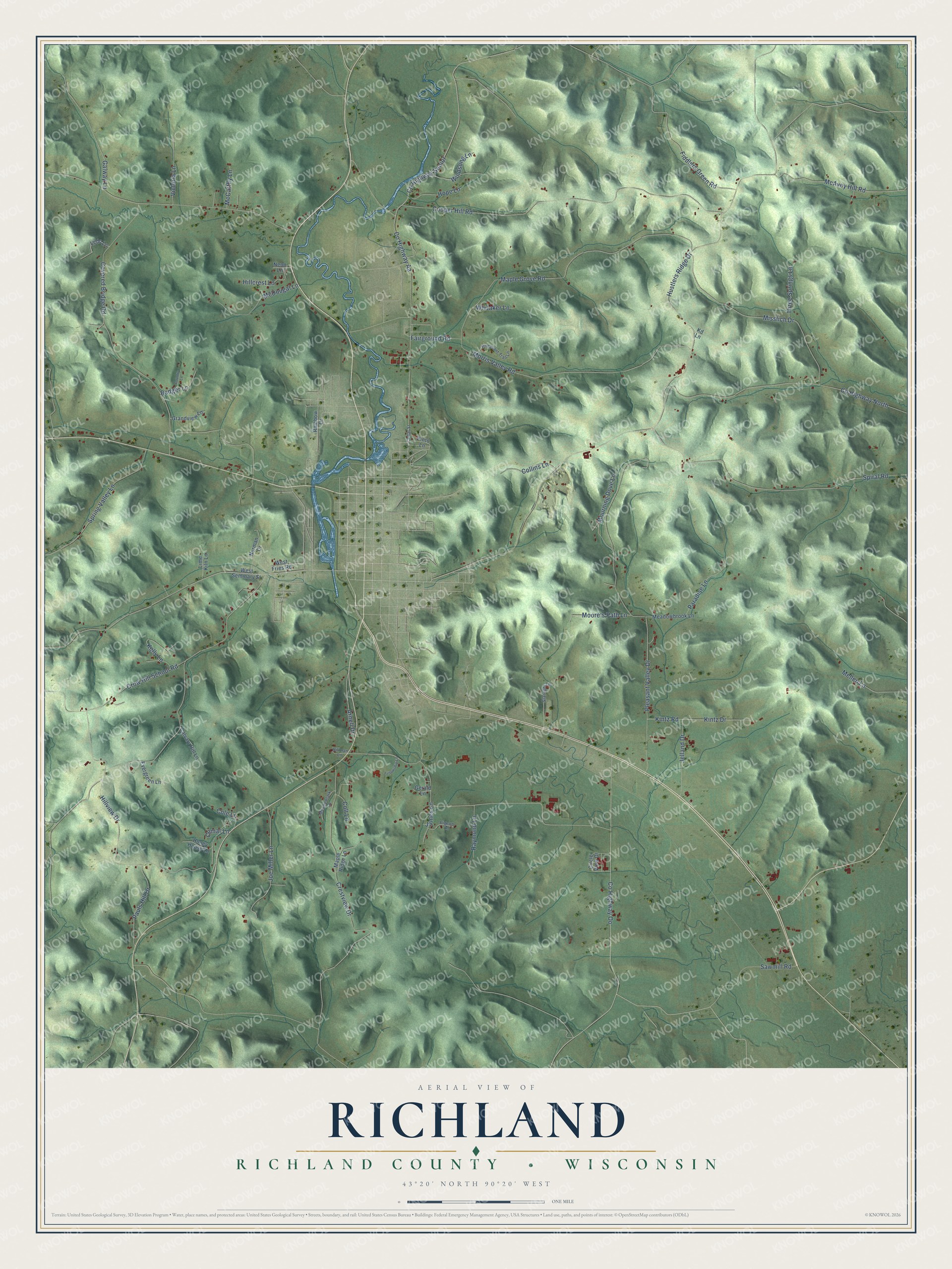
This beautifully detailed map of Richland, Wisconsin was created in 2026 using aerial imagery combined with modern topographical, census, street and landmark data. It's a modern aerial view of Richland in Richland County, Wisconsin, that combines modern data with a vintage aesthetic. The roads feature printed names, and if you look closely you can find your exact house accurately shown in its correct location.
Explore an aerial view of Richland, Wisconsin
On this map you'll find Co Highway Oo, Co Highway North, Pleasant Valley Drive, Hustlers Ridge Drive, Cooper Hill Road, Maple Grove Road, Covered Bridge Road, Co Highway Aa, Spiral Road, Morris Valley Road, Crestview Drive, Misslich Drive, and more. Each red shape is a building, so zoom in on the preview and look for yours.
Richland has a story worth telling. The Richland County History puts it this way: "The population having by this time increased to such a number as to warrant such action, the board of supervisors of the county, by a resolution passed Nov. 15, 1852, ordered that the town of Richland be set off and organized as a separate township and election precinct."
Richland is a town in Richland County. The Census Bureau counted 1,175 people here in 2020.
Take a closer look at the Richland map
Names on this map
These names are printed on this map.
Streets and roads: County Highway Oo, County Highway North, Pleasant Valley Drive, Hustlers Ridge Drive, Cooper Hill Road, Maple Grove Road, Covered Bridge Road, County Highway Aa, Spiral Road, Morris Valley Road, Crestview Drive, Misslich Drive.
More street names, A to Z
Arnell Drive, Badger Lane, Calvary Hill Lane, Cedar Street, Circle View Drive, Cole Lane, Collins Lane, Colt Lane, Comar Lane, Country Lane, County Highway Senior, Crow Hill School Road, Evergreen Lane, Fairground Road, Fellowship Lane, Fiddlers Green Road, Galway Lane, Gerald Lane, Grandview Lane, Hillcrest Lane, Hillman Lane, Hillview Drive, Honey House Lane, Hope Lane, James Lane, Jelland Drive, Joe Miller Lane, Kd Lane, Kelly Lane, Kintz Drive, Kintz Road, Ledo Lane, Lime Kiln Lane, Maple Ridge Lane, McAvoy Hill Road, McCarthy Lane, McDougal Lane, Meadowbrook Lane, Meadowlark Lane, Mellen Lane, Moore's Path Lane, Mourning Dove Lane, Neon Lane, Norman Drive, Paradise Lane, Pauls Hill Drive, Pheasant Trail Lane, Pigeon Lane, Pinto Lane, Rainbow Drive, Raymond Lane, Sawmill Road, Spring Valley Lane, Starlight Lane, Three Springs Lane, Victoria Lane, West Fries Road, West Seminary Street, Whitaker Lane, Windsong Lane.
Created by KNOWOL in 2026. The buildings are small red shapes, the roads carry their printed names, and shaded relief shows the shape of the land. The title panel reads "AERIAL VIEW OF RICHLAND, RICHLAND COUNTY • WISCONSIN" with 43°20' NORTH 90°20' WEST.
It looks right in a kitchen, an office or a den, and it's a gift for anyone who grew up in Richland or moved away. Open the preview and find your street. See sizes and frames for the Richland, Richland County map.