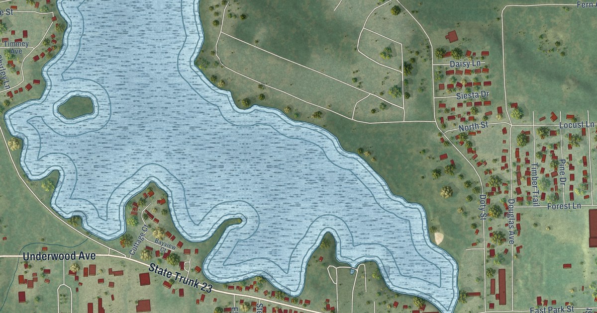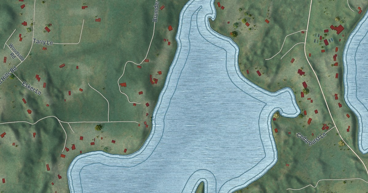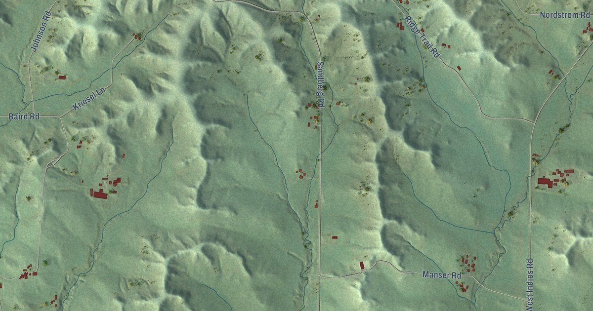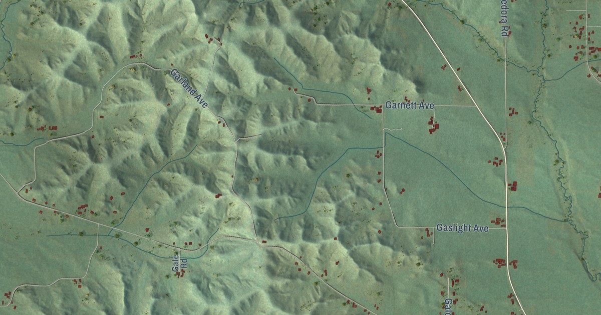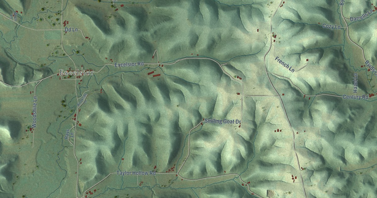
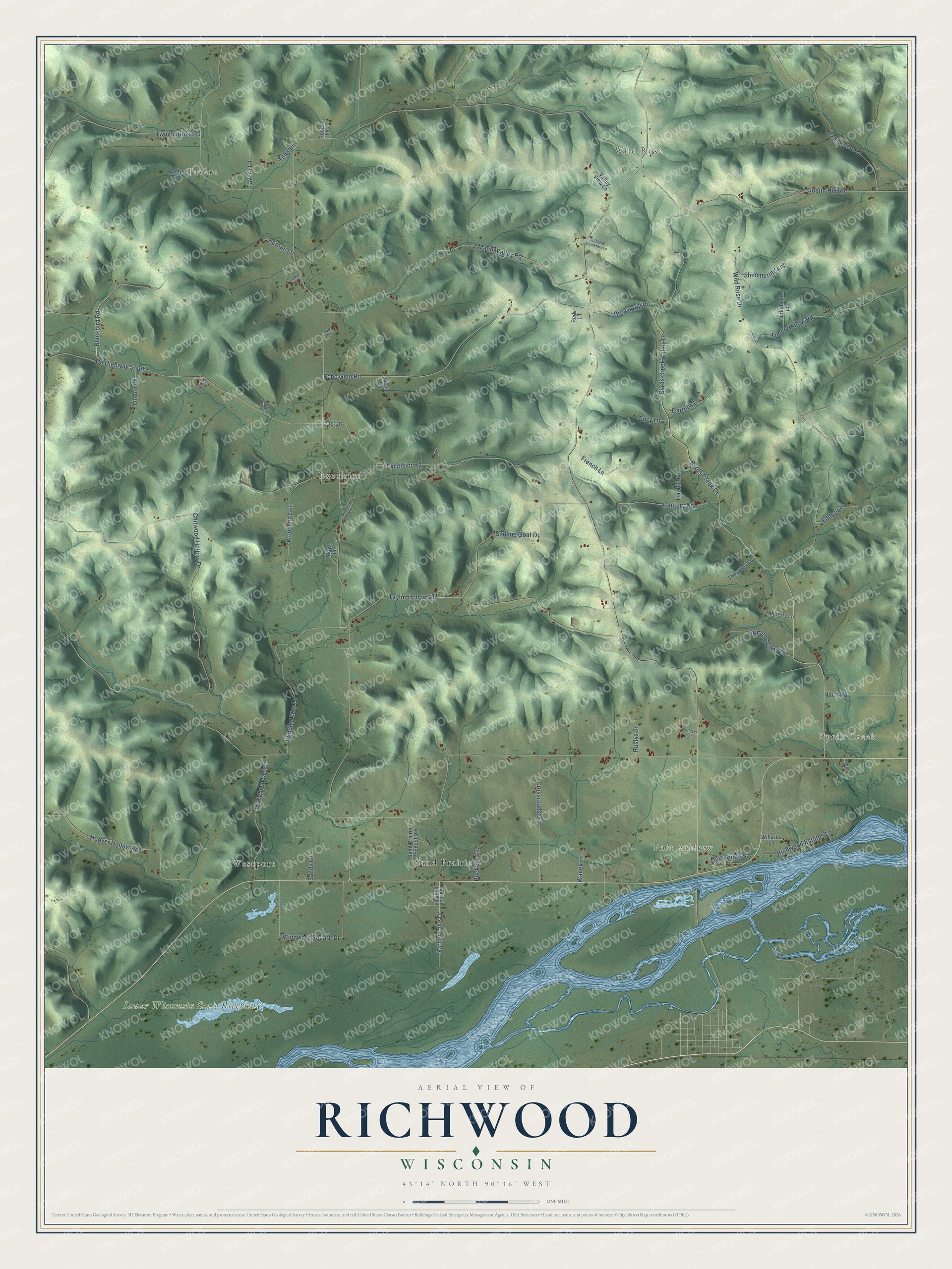
This beautifully detailed map of Richwood, Wisconsin was created in 2026 using aerial imagery combined with modern topographical, census, street and landmark data. It's a modern aerial view of Richwood in Richland County, Wisconsin, that combines modern data with a vintage aesthetic. The roads feature printed names, and if you look closely you can find your exact house accurately shown in its correct location.
Explore an aerial view of Richwood, Wisconsin
On this map you'll find Tavera, Wild Rose, Byrds Creek, Port Andrew, Lower Wisconsin State Riverway, Excelsior, Sand Prairie, Westport, Blackbird Road, Winding Way Drive, Excelsior Road, Taylor Hollow Road, and more. Each red shape is a building, so zoom in on the preview and look for yours.
Richwood has a story worth telling. The History of Crawford and Richland Counties puts it this way: "During the same year a trapper by the name of Knapp, also built him a cabin on the creek that now bears his name, in the town of Richwood."
Richwood is a town in Richland County. The Census Bureau counted 527 people here in 2020.
Take a closer look at the Richwood map
Names on this map
These names are printed on this map.
Places: Tavera, Wild Rose, Byrds Creek, Port Andrew, Lower Wisconsin State Riverway, Excelsior, Sand Prairie and Westport.
Streets and roads: Blackbird Road, Winding Way Drive, Excelsior Road, Taylor Hollow Road, County Highway South, Byrds Creek Valley Drive, County Highway West, Wild Rose Drive, Byrds Creek Drive, Maple Valley Road, Echo Glen Road, Chitwood Hollow Drive.
More street names, A to Z
Acorn Lane, Andys Lane, Brookside Lane, Brown Hill Road, Buckeye Lane, Buffs Lane, Caddie Lane, Center Street, Century Road, Clover Lane, Cozy Lane, Crossroads Drive, Darrells Lane, Dd Lane, Dieter Hollow Drive, Eddys Lane, French Lane, Garner Lake Drive, Garner Lake Lane, Gault Hollow Road, Goplin Hill Road, Granger Valley Lane, Hach Road, Hazel Lane, Hernan Lane, High Ridge Street, Hillberry Lane, Hoover Hollow Road, Linden Lane, Lutheran Cemetery Lane, Misti Lane, Pond Lane, Rays Lane, Reds Lane, Richwood Estates Lane, Rustys Lane, Sand Prairie School Drive, Sandy Lane, Shimmering Lane, Smiling Goat Drive, Tavera Lane, Thingvold Lane, Tiller Lane, Turkelson Lane, Twin Springs Road, Valley View Lane, Wanek Lane, Willards Lane, Windward Square Drive, Woodshire Lane, Wren Lane.
Created by KNOWOL in 2026. The buildings are small red shapes, the roads carry their printed names, and shaded relief shows the shape of the land. The title panel reads "AERIAL VIEW OF RICHWOOD, WISCONSIN" with 43°14' NORTH 90°36' WEST.
It looks right in a kitchen, an office or a den, and it's a gift for anyone who grew up in Richwood or moved away. Open the preview and find your street. See sizes and frames for the Richwood map.