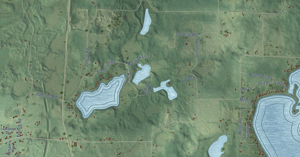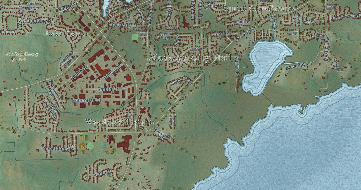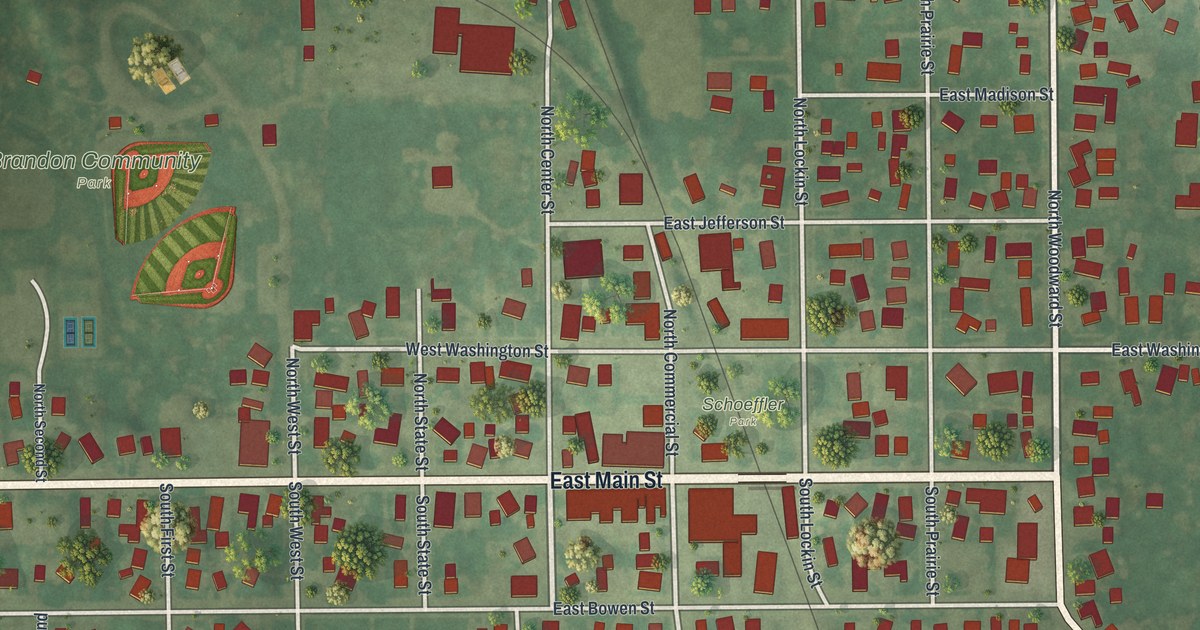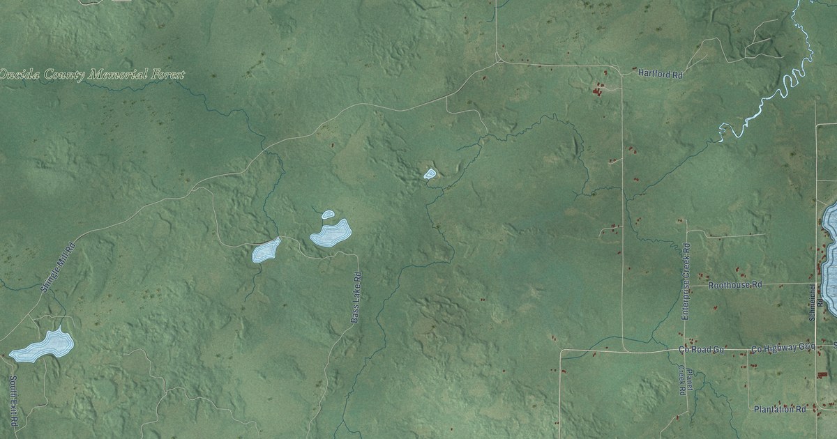
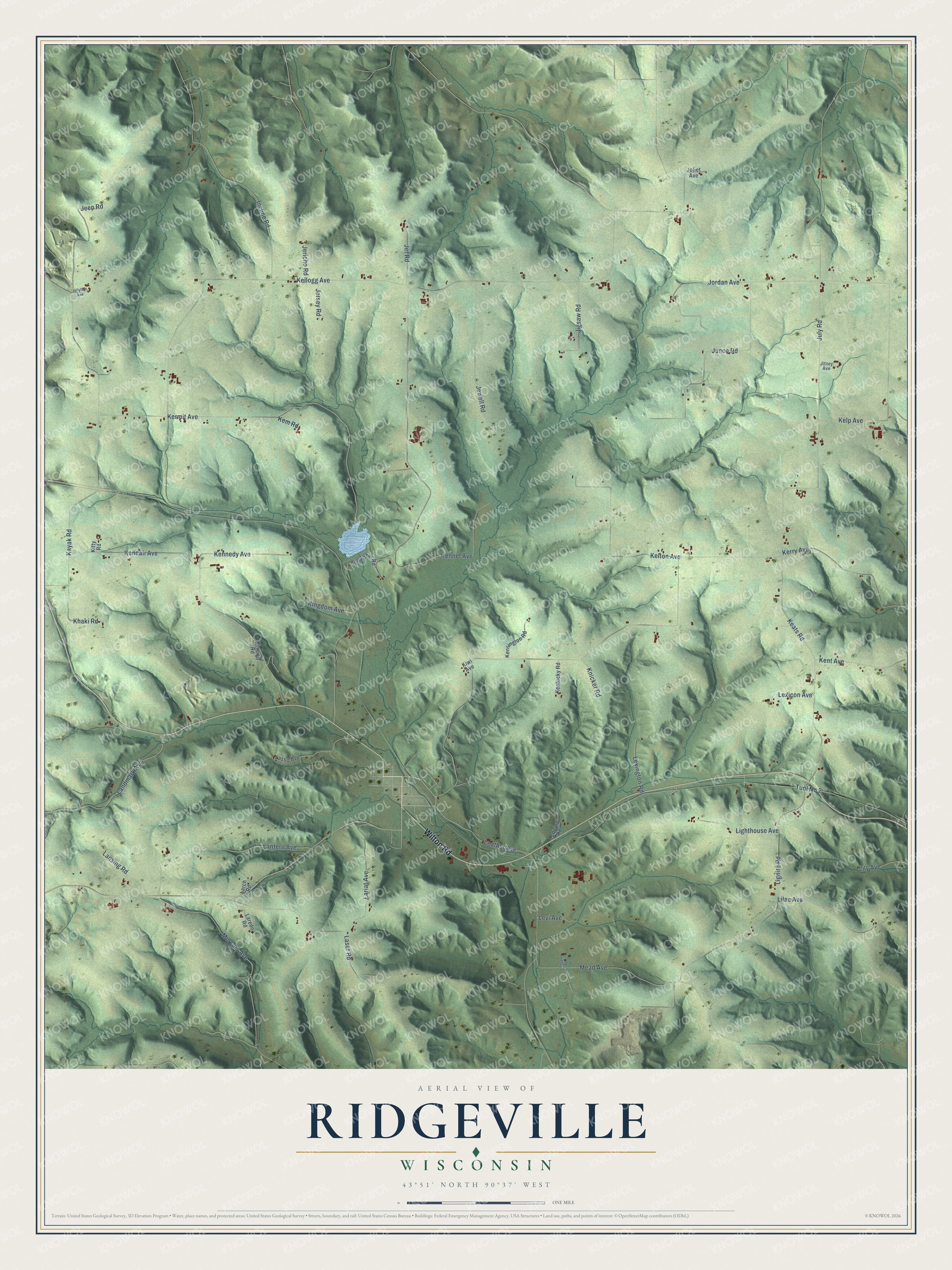
This beautifully detailed map of Ridgeville, Wisconsin was created in 2026 using aerial imagery combined with modern topographical, census, street and landmark data. It's a modern aerial view of Ridgeville in Monroe County, Wisconsin, that combines modern data with a vintage aesthetic. The roads feature printed names, and if you look closely you can find your exact house accurately shown in its correct location.
Explore an aerial view of Ridgeville, Wisconsin
On this map you'll find Wilton Road, Tunl No 2, Lantern Avenue, Kellogg Avenue, Kayak Road, Kendall Avenue, Kermit Avenue, July Road, Lignite Road, Lariat Avenue, Keats Road, Junco Road, and more. Each red shape is a building, so zoom in on the preview and look for yours.
Every town has a first chapter, and Ridgeville is no exception. The History of Monroe County puts it this way: "A few years later James Nolan, James Kerrigan, John Kerrigan and others formed a settlement in the vicinity of Ridgeville and soon after began to talk seriously of building a church. In 1865 a church was erected, the same being attended by Father Quigley, then a resident priest at Mauston."
Ridgeville is a town in Monroe County. The Census Bureau counted 479 people here in 2020.
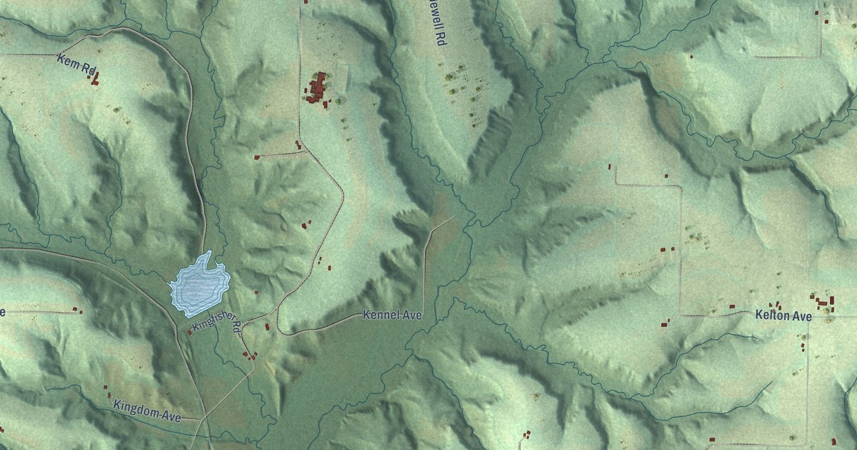
Take a closer look at the Ridgeville map
Names on this map
These names are printed on this map.
Streets and roads: Wilton Road, Tunl No 2, Lantern Avenue, Kellogg Avenue, Kayak Road, Kendall Avenue, Kermit Avenue, July Road, Lignite Road, Lariat Avenue, Keats Road, Junco Road.
More street names, A to Z
Incline Road, Jeep Road, Jellyfish Avenue, Jericho Road, Jersey Road, Jet Road, Jewell Road, Jigsaw Road, Jitney Avenue, Joliet Avenue, Jordan Avenue, Kelp Avenue, Kelton Avenue, Kem Road, Kennedy Avenue, Kennel Avenue, Kensington Road, Kent Avenue, Kentucky Road, Kerry Avenue, Khaki Road, Kimono Road, Kingdom Avenue, Kingfisher Road, Kitty Road, Kiwi Avenue, Knicker Road, Landmark Avenue, Lansing Road, Larch Road, Laredo Road, Laser Road, Lasso Avenue, Leather Avenue, Leopard Road, Levee Road, Levi Avenue, Lexicon Avenue, Lexington Road, Lighthouse Avenue, Lilac Avenue, Lily Avenue, Mead Avenue, Mercury Avenue.
Created by KNOWOL in 2026. The buildings are small red shapes, the roads carry their printed names, and shaded relief shows the shape of the land. The title panel reads "AERIAL VIEW OF RIDGEVILLE, WISCONSIN" with 43°51' NORTH 90°37' WEST.
Hang it in the hallway, the office or the cabin, or give it to someone who left Ridgeville and still calls it home. Open the preview and look for a street you know. See sizes and frames for the Ridgeville map.