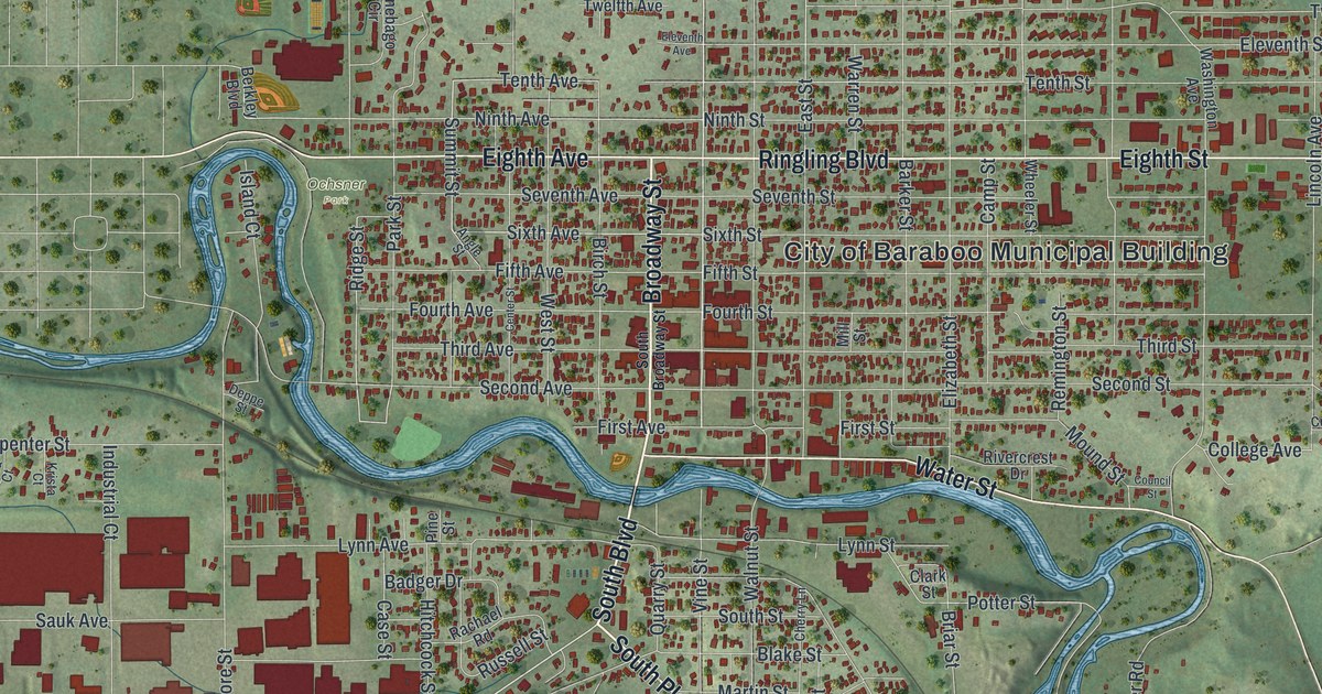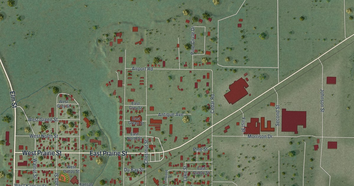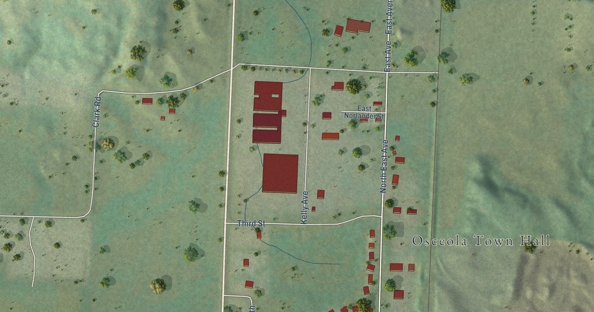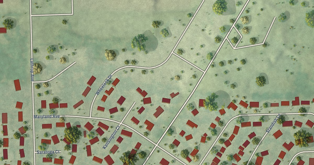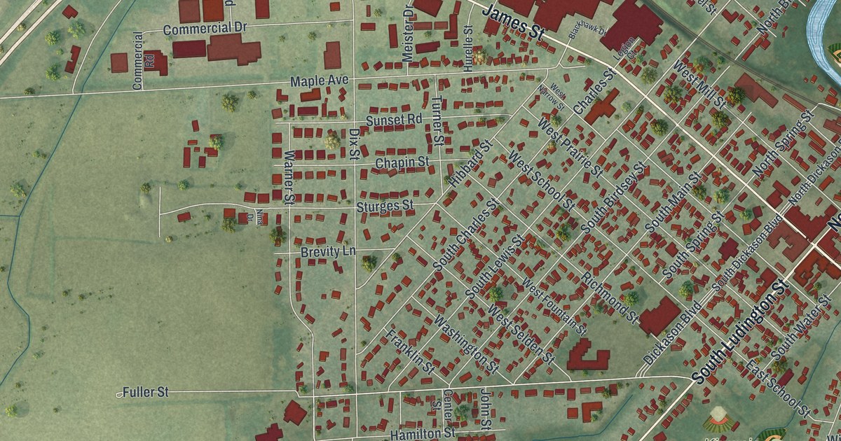
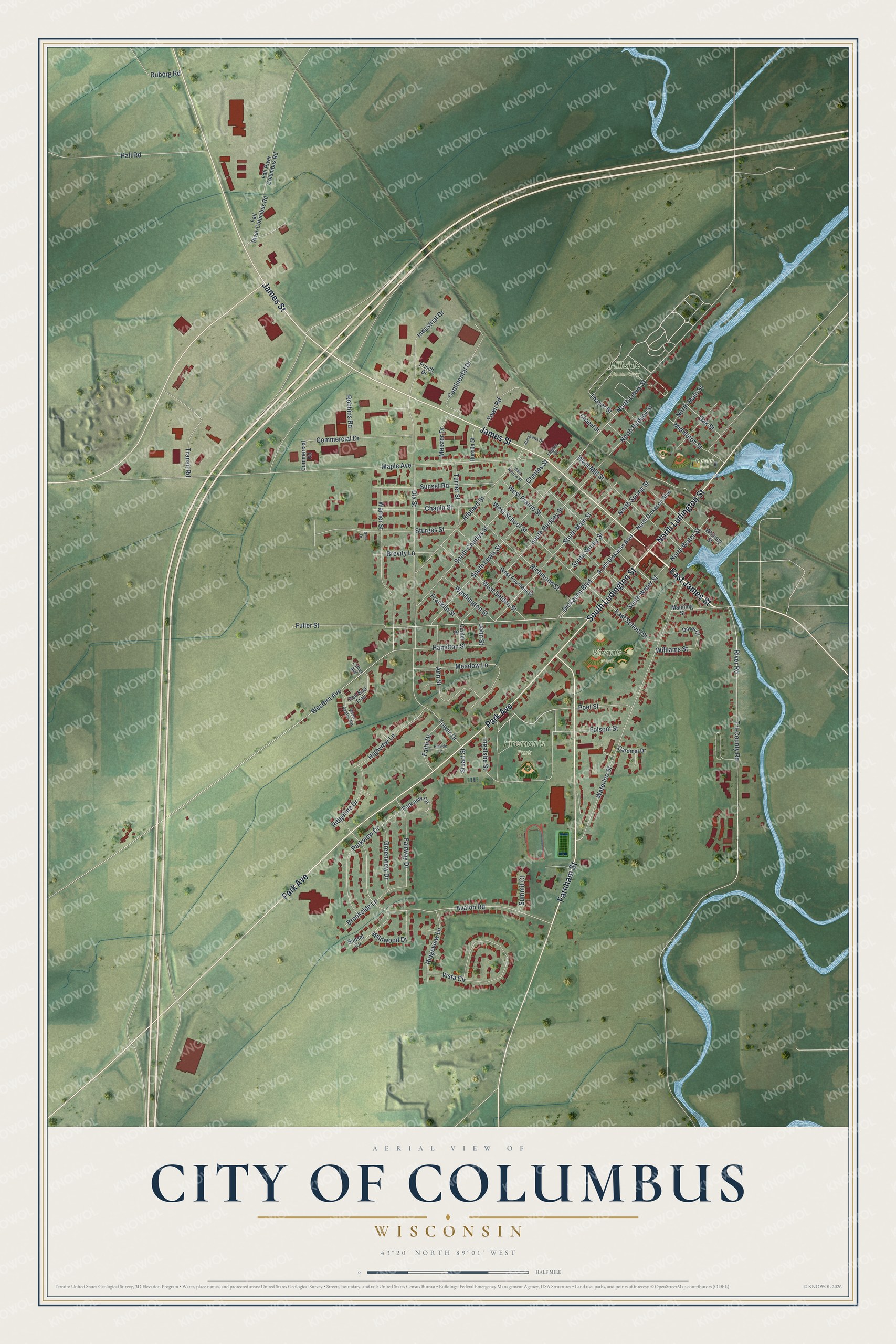
This beautifully detailed map of Columbus, Wisconsin was created in 2026 using aerial imagery combined with modern topographical, census, street and landmark data. It's a modern aerial view of Columbus in Columbia County, Wisconsin, that combines modern data with a vintage aesthetic. The roads feature printed names, and if you look closely you can find your exact house accurately shown in its correct location.
Explore an aerial view of Columbus, Wisconsin
On this map you'll find Fireman's Park, Hillside Cemetery, Kiwanis Park, Meister Park, East James Street, South Ludington Street, Farnham Street, James Street, Park Avenue, North Ludington Street, North Lewis Street, South Main Street, and more. Each red shape is a building, so zoom in on the preview and look for yours.
Here is a piece of Columbus history, in the words of the record. The Historical Marker Database puts it this way: "He was born in New York State and in 1845 settled in Columbus where he practiced law."
Columbus is a city in Columbia County. The Census Bureau counted 5,540 people here in 2020.
Take a closer look at the Columbus map
Names on this map
These names are printed on this map.
Places: Fireman's Park, Hillside Cemetery, Kiwanis Park and Meister Park.
Streets and roads: East James Street, South Ludington Street, Farnham Street, James Street, Park Avenue, North Ludington Street, North Lewis Street, South Main Street, North Spring Street, Charles Street, River Road, Avalon Road.
More street names, A to Z
Ann Street, Blackhawk Drive, Brevity Lane, Brookside Lane, Cardinal Drive, Center Street, Chapel Street, Chapin Street, Commercial Drive, Commercial Road, Continental Drive, Dawn Court, Dickason Boulevard, Dix Street, Duborg Road, East School Street, Fairway Drive, Faith Drive, Fall River-Columbus Road, Fall River Columbus Road, Folsom Street, Franklin Street, Frisch Drive, Fuller Street, Greenview Drive, Hall Road, Hamilton Street, Hibbard Street, Highview Lane, Hillside Lane, Hurelle Street, Industrial Drive, Ingalsbe Street, John Street, Legion Court, Luther Avenue, Manning Street, Maple Avenue, Meadow Lane, Meister Drive, Middleton Street, Nina Drive, North Birdsey Street, North Dickason Boulevard, North Main Street, North Water Street, Oak Street, Parkview Circle, Parkview Drive, Poet Street, Red Bud Trail, Richmond Street, Ridgeline Drive, Ridgeview Lane, Robbins Road, South Birdsey Street, South Charles Street, South Dickason Boulevard, South Lewis Street, South Spring Street, South Water Street, Stuart Street, Sturges Street, Summit Court, Sunset Circle, Sunset Road, Thayer Street, Tower Drive, Town Road, Transit Road, Tri-County Road, Turner Street, Vista Circle, Warner Street, Washington Street, Waterloo Street, West Avalon Road, Western Avenue, West Fountain Street, West Mill Street, West Narrow Street, West Prairie Street, West School Street, West Selden Street, Whitney Street, Wildwood Drive, Williams Street.
Created by KNOWOL in 2026. The buildings are small red shapes, the roads carry their printed names, and shaded relief shows the shape of the land. The title panel reads "AERIAL VIEW OF CITY OF COLUMBUS, WISCONSIN" with 43°20' NORTH 89°01' WEST.
It suits a den, a classroom or a front hall, and it makes a gift for anyone with Columbus roots. Open the preview and find the block you know. See sizes and frames for the Columbus map.