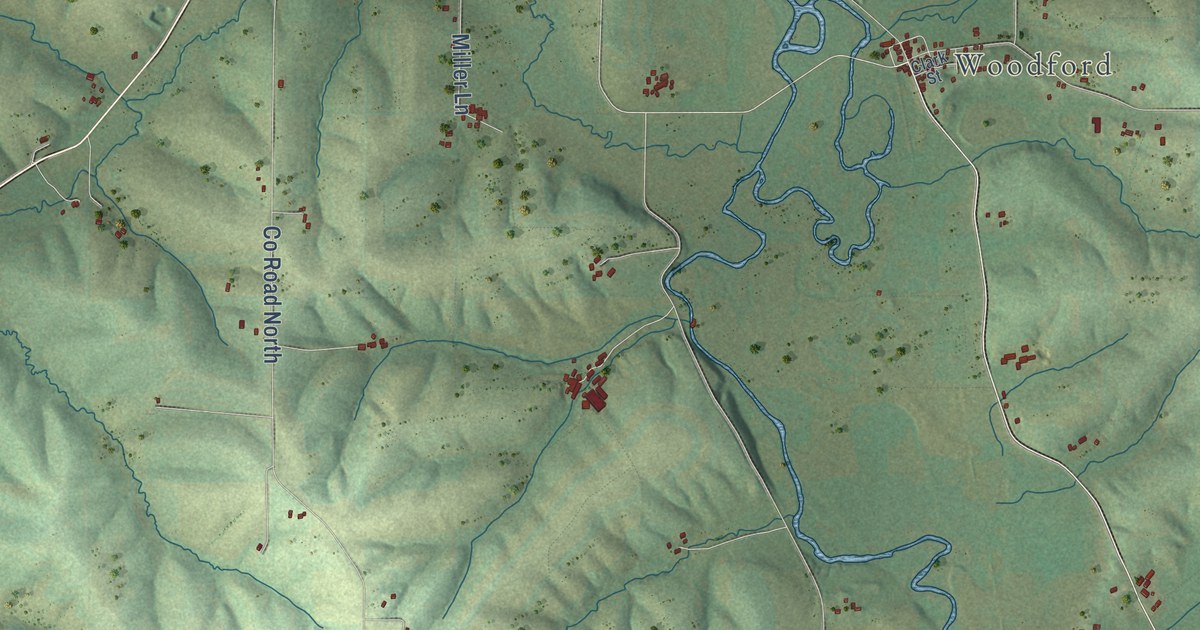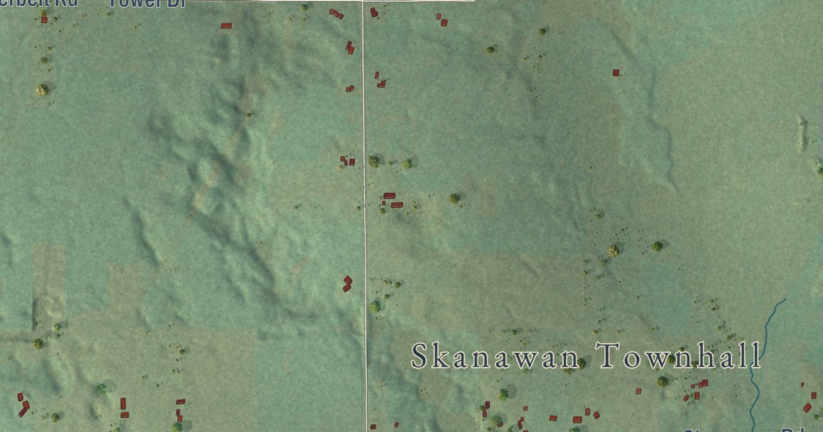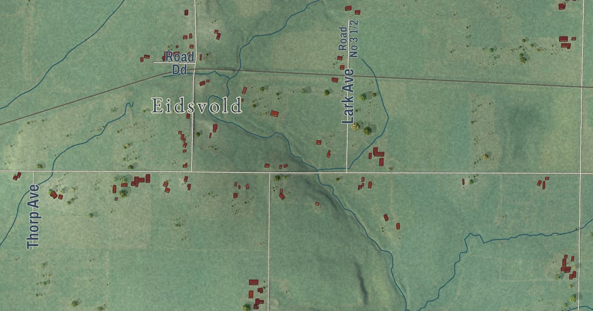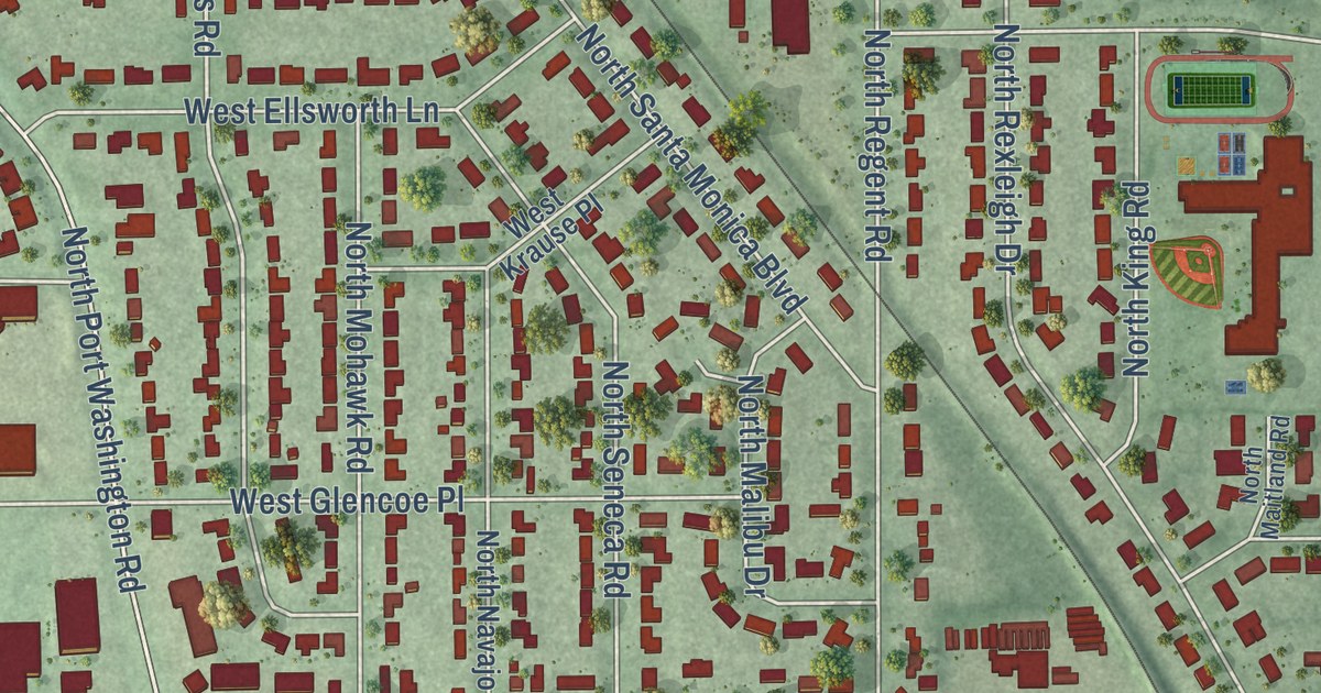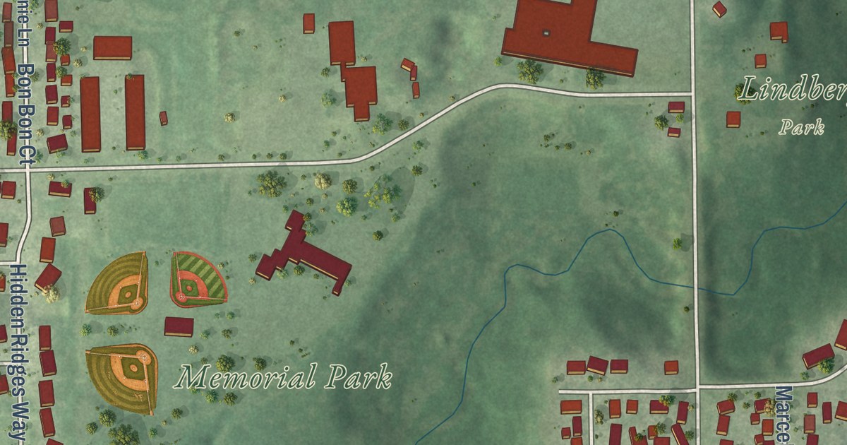
This beautifully detailed map of Combined Locks, Wisconsin was created in 2026 using aerial imagery combined with modern topographical, census, street and landmark data. It’s a one-of-a-kind view of Combined Locks that combines accurate data with a vintage aesthetic. The map shows every building in its true location, many of the roads carry their names, and the shaded topographic relief shows the shape of the land.
Explore an aerial view of Combined Locks, Wisconsin
On the map you’ll find Lindberg Park, Memorial Park, and Union Cemetery, along with County Road HH, Cornrow Lane, Lom Street, Debruin Road, Prospect Street, Buchanan Road, Wallace Street, County Road CE, Park Street, and more. If you look closely you can even find your house accurately drawn in its correct location. Zoom in on the preview to look for yours.
Did you know this piece of Combined Locks, Wisconsin history?
From Land of the Fox: "In April, 1920, a group of villagers petitioned for incorporation under the name of Combined Locks. The following August a meeting of electors of the territory was called to determine whether they favored or rejected the proposed incorporation."
Take a closer look at the Combined Locks map
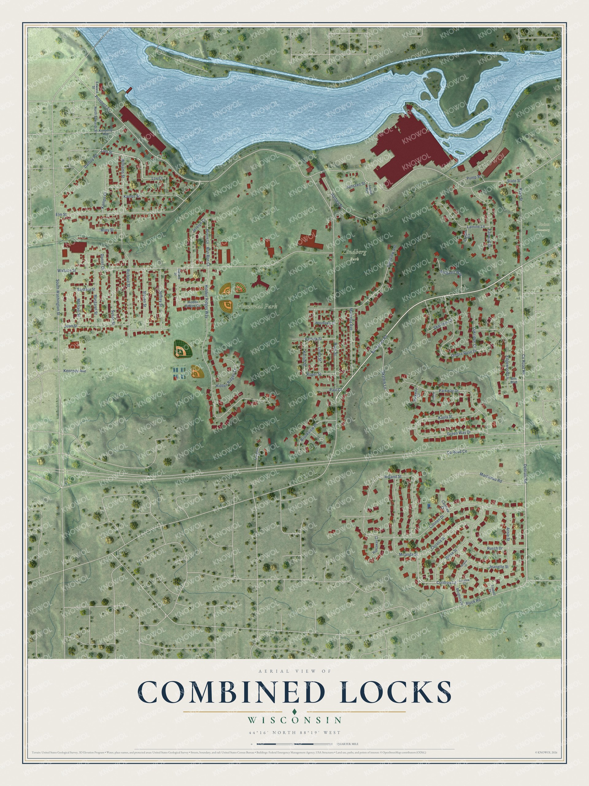
Street and place names on the Combined Locks, Wisconsin map
These names are printed on the map of Combined Locks, Wisconsin.
Places: Lindberg Park, Memorial Park and Union Cemetery.
Streets and roads: County Road Hh, Cornrow Lane, Lom Street, Debruin Road, Prospect Street, Buchanan Road, Wallace Street, County Road Ce, Park Street, Hidden Ridges Way, South Washington Street, Coonen Drive.
More street names, A to Z
Ann Boulevard, Arnie Street, Barbara Street, Berghuis Drive, Berguis Drive, Biese Street, Block Road, Bon Bon Court, Bonnie Lane, Brookview Place, Carefree Court, Cecelia Street, Cornrow Court, Daniel Court, Darboy Road, Edgewood Lane, Edward Street, Elm Street, Fairway Street, Glenview Avenue, Green Way Drive, Hartjes Street, Hidden Ridges Circle, Hidden Ridges Court, Hideaway Court, Janssen Street, Jeanette Street, Jean Street, Jeffrey Street, Jenny Court, Jerelyn Court, Kamps Court, Kamps Street, Karlyn Street, Kayla Street, Kennedy Avenue, Kimberly Avenue, Lamine Lane, Linda Street, Locks Avenue, Lox Court, Marcella Avenue, Margaret Street, Martineau Road, Mary Street, Michael Street, Miranda Street, North Edwards Street, Nottingham Road, Oakridge Court, Ombre Rose Drive, Parkway Court, Parkway Drive, Patrick Street, Paul Court, Pump Street, Ravine Street, Richard Street, Roger Street, Roland Street, Rusch Drive, Ryan Street, Shalimar Court, Skylark Lane, State Street, Steven Street, Susan Street, Trudell Court, Vosters Vis, Williams Street, Woodlawn Court, Wulgaert Way.
See the Combined Locks, Wisconsin map on a wall
The Combined Locks map as an 18 x 24 inch print in a black frame.

This beautifully detailed map of Combined Locks makes an attractive addition to your office, library, or den, and it can even be used to teach children the geography and history of the area. It also makes a great gift for someone who left Combined Locks and still calls it home. When you’re done exploring, click here to get your copy of the Combined Locks map.