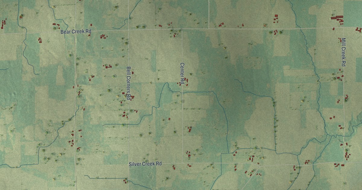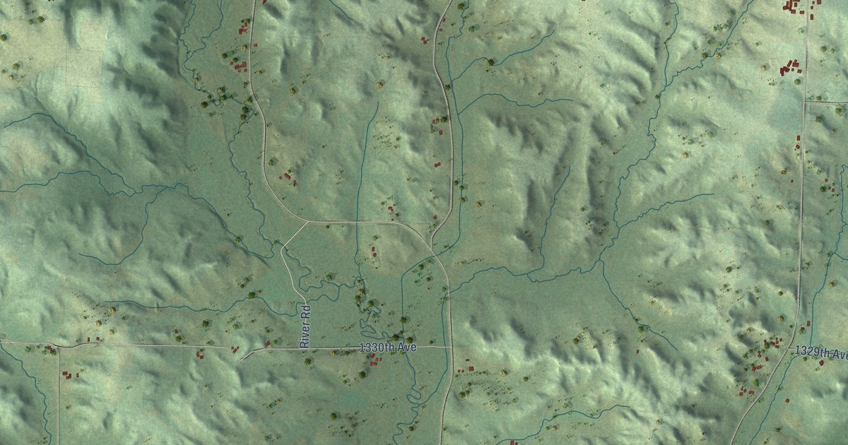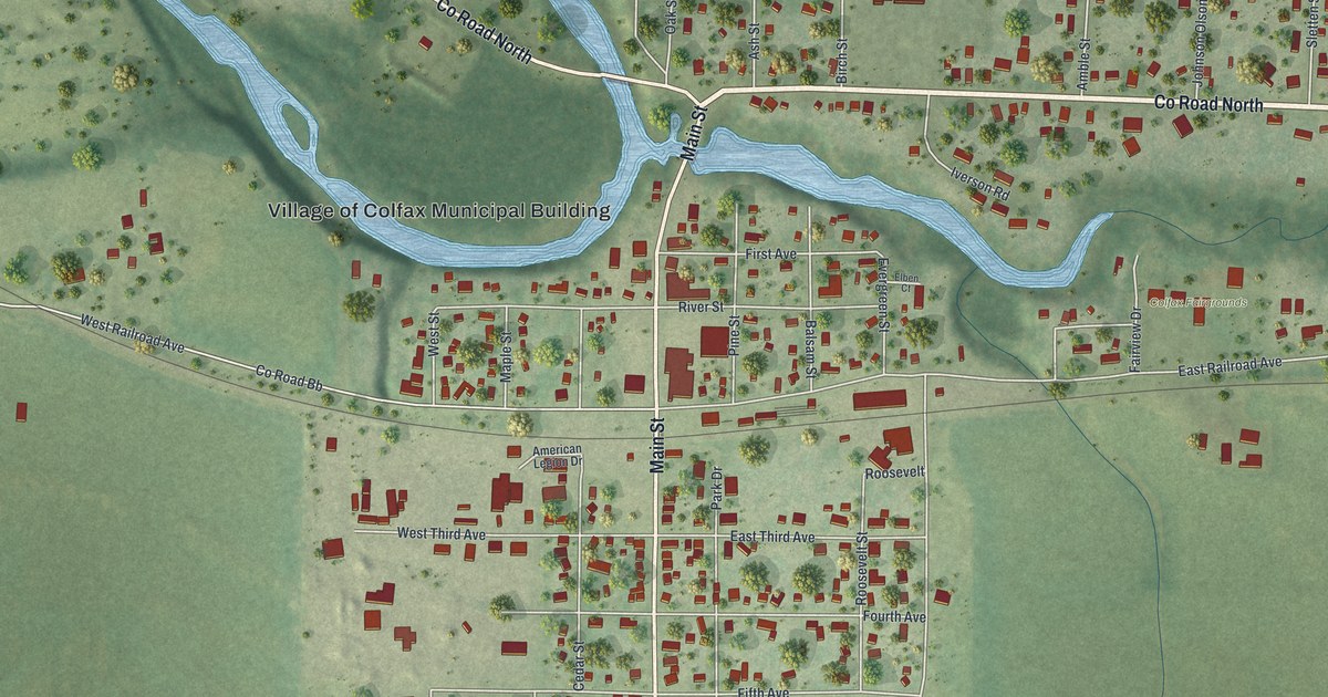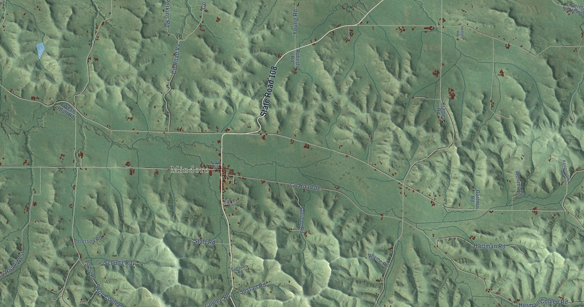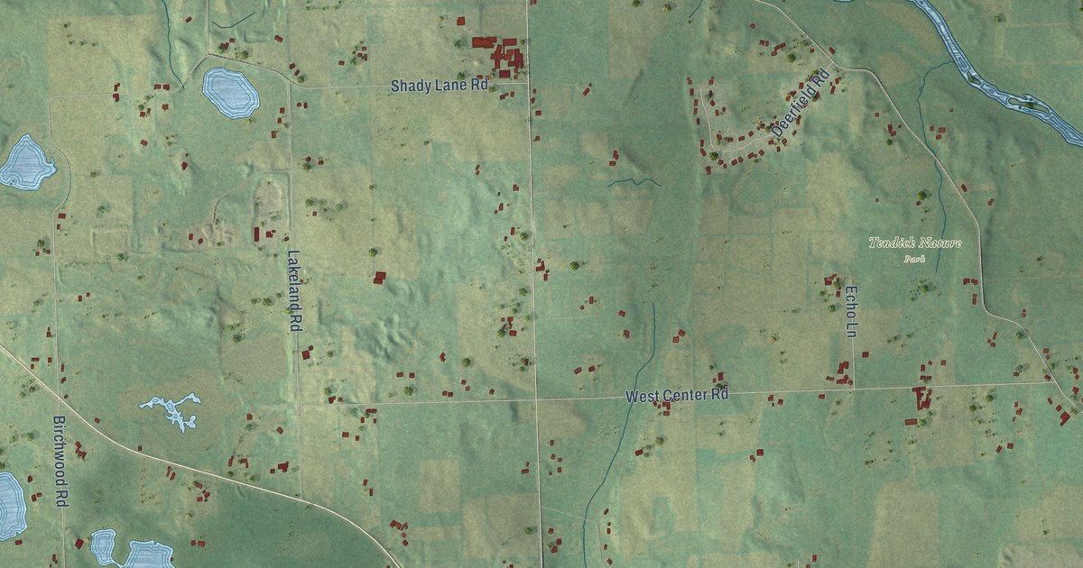
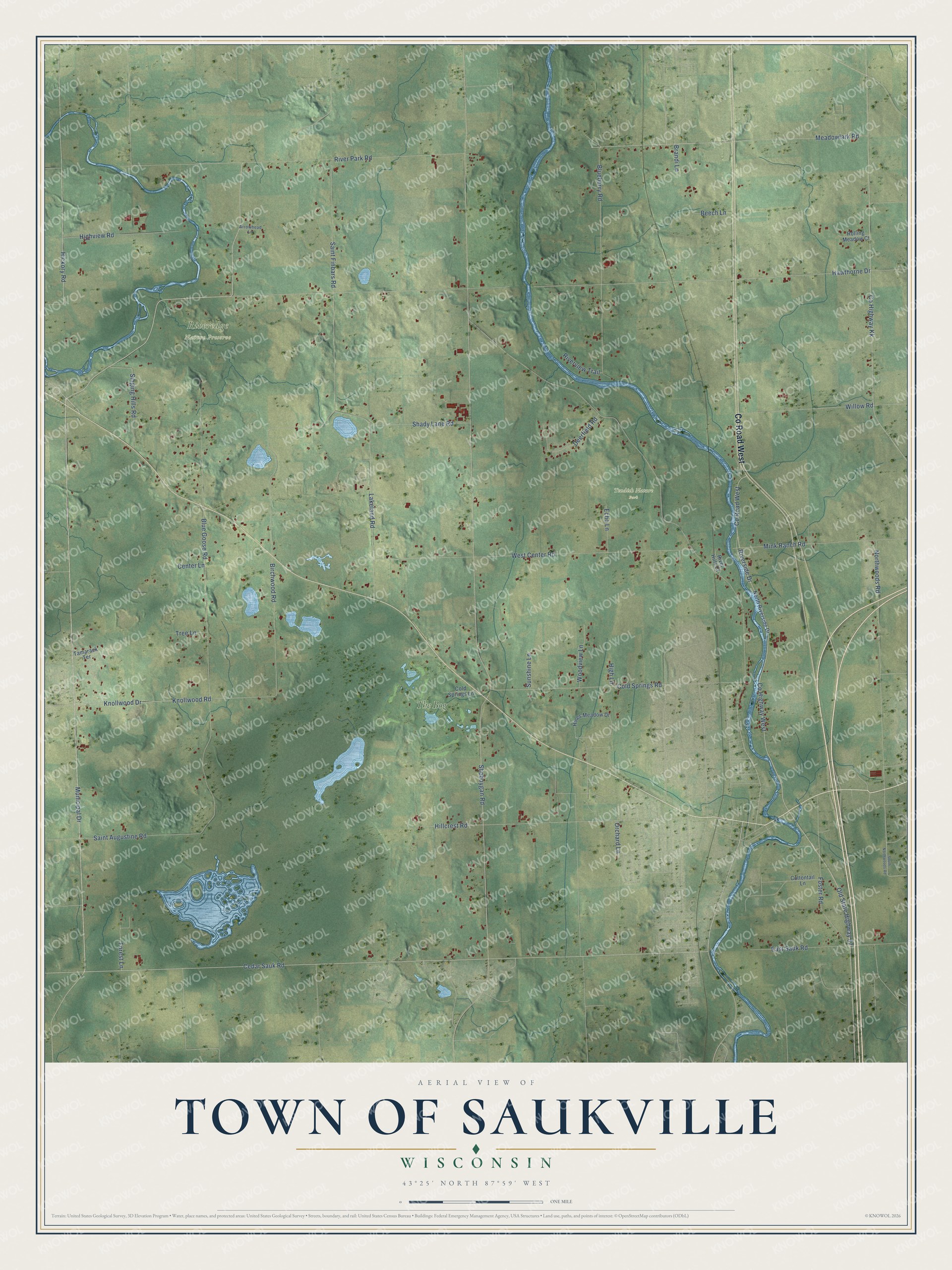
This beautifully detailed map of Saukville, Wisconsin was created in 2026 using aerial imagery combined with modern topographical, census, street and landmark data. It's a modern aerial view of Saukville in Ozaukee County, Wisconsin, that combines modern data with a vintage aesthetic. The roads feature printed names, and if you look closely you can find your exact house accurately shown in its correct location.
Explore an aerial view of Saukville, Wisconsin
On this map you'll find Riveredge Nature Preserve, Tendick Nature Park, The Bog, Co Road West, Cedar Sauk Road, Hawthorne Drive, Co Highway West, Municipal Drive, Hickory Road, Old State Highway 57, Riverside Drive, Knollwood Road, and more. Each red shape is a building, so zoom in on the preview and look for yours.
Every town has a first chapter, and Saukville is no exception. The History of Washington and Ozaukee Counties puts it this way: "In 1860, Ernst Schmidt built a dam and erected a saw-mill in the town of Saukville, four miles north of the village in Section 3, Range 21, on the Milwaukee River, where he continued to do a profitable business until the year 1875, when V. Voelker became a partner and added a frame grist-mill to the saw-mill."
Saukville is a town in Ozaukee County. The Census Bureau counted 1,765 people here in 2020.
Take a closer look at the Saukville map
Names on this map
These names are printed on this map.
Places: Riveredge Nature Preserve, Tendick Nature Park and The Bog.
Streets and roads: County Road West, Cedar Sauk Road, Hawthorne Drive, County Highway West, Municipal Drive, Hickory Road, Old State Highway 57, Riverside Drive, Knollwood Road, Birchwood Road, Northwoods Road, Blueberry Road.
More street names, A to Z
Arrowhead Lane, Beech Lane, Blue Goose Road, Brandi Lane, Center Lane, Cold Springs Lane, Cold Springs Road, Cottontail Lane, County Highway Kk, Deerfield Road, East Sauk Road, Echo Lane, Forest Lane, Foster Road, High Lane, Highview Road, Hillcrest Road, Hines Meadow Drive, Knollwood Drive, Lakeland Road, Meadowlark Road, Mink Ranch Road, North Riverside Drive, Orchard Lane, River Hills Court, River Park Road, Riverview Trail, Rolling Meadow Court, Saint Augustine Road, Saint Finbars Road, Shady Lane Road, Sheboygan Road, Singing Hills Road, South Northwoods Road, Sunshine Lane, Tamarack Terrace, Tree Lane, West Center Road, Willow Road, Woodview Lane.
Created by KNOWOL in 2026. The buildings are small red shapes, the roads carry their printed names, and shaded relief shows the shape of the land. The title panel reads "AERIAL VIEW OF TOWN OF SAUKVILLE, WISCONSIN" with 43°25' NORTH 87°59' WEST.
Hang it in the hallway, the office or the cabin, or give it to someone who left Saukville and still calls it home. Open the preview and look for a street you know. See sizes and frames for the Town of Saukville map.