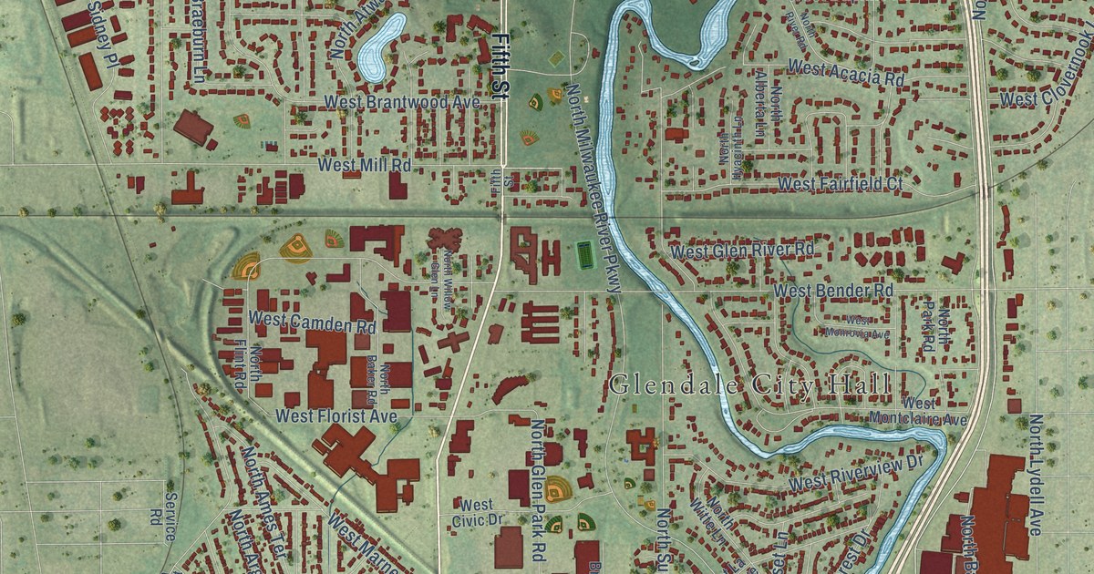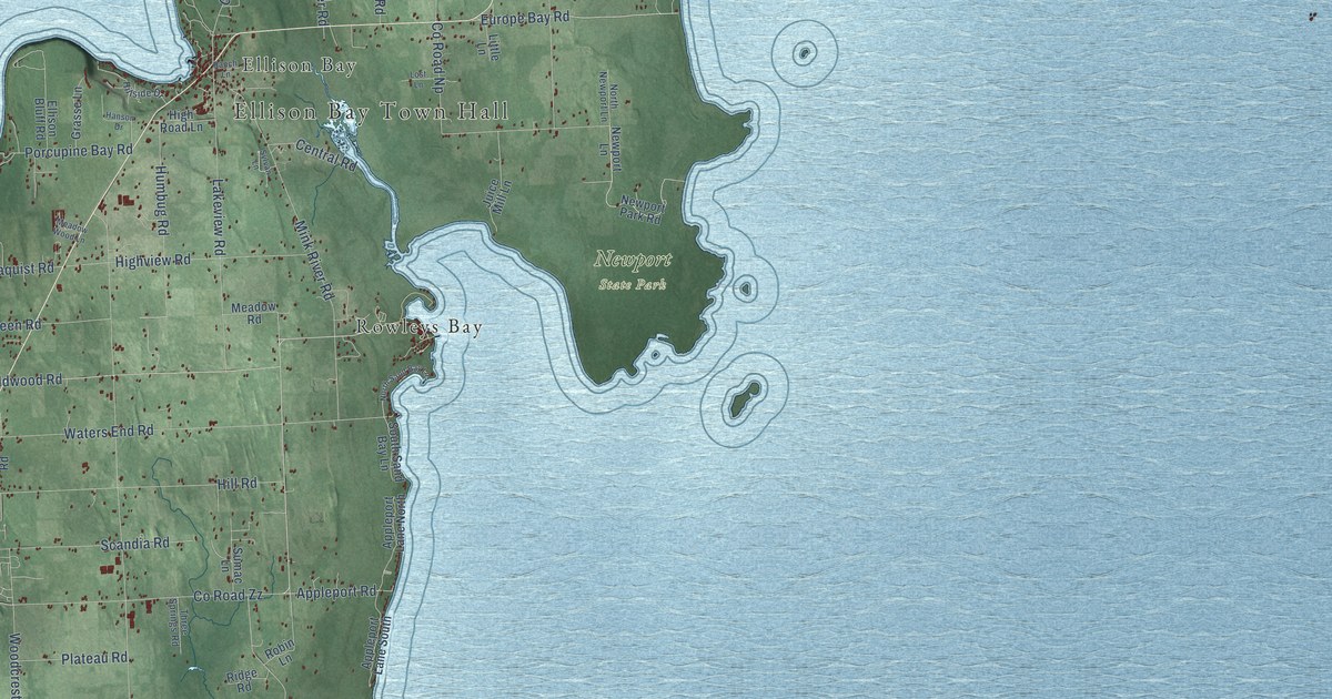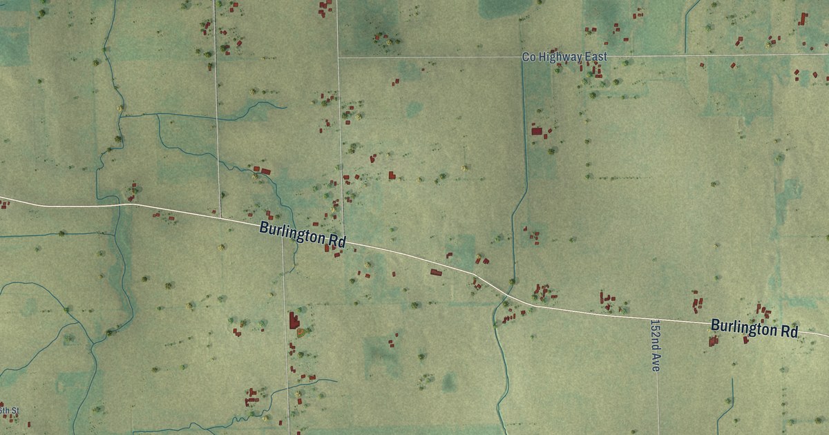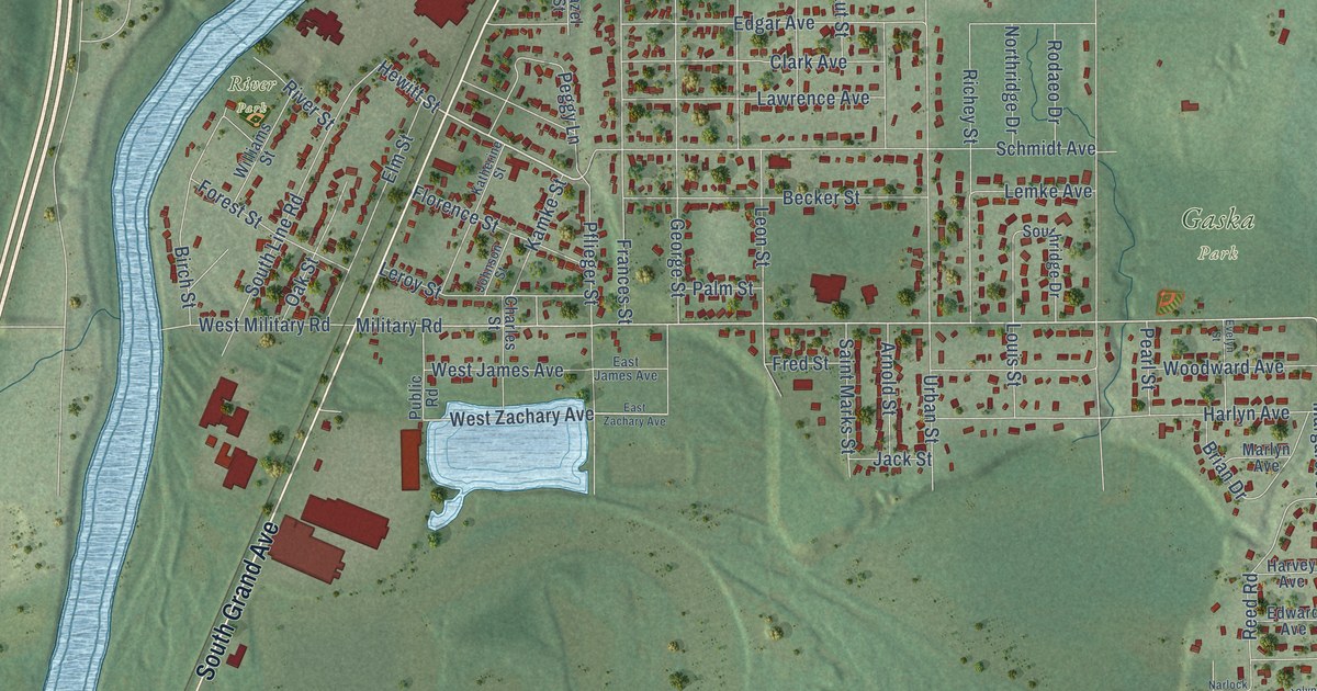
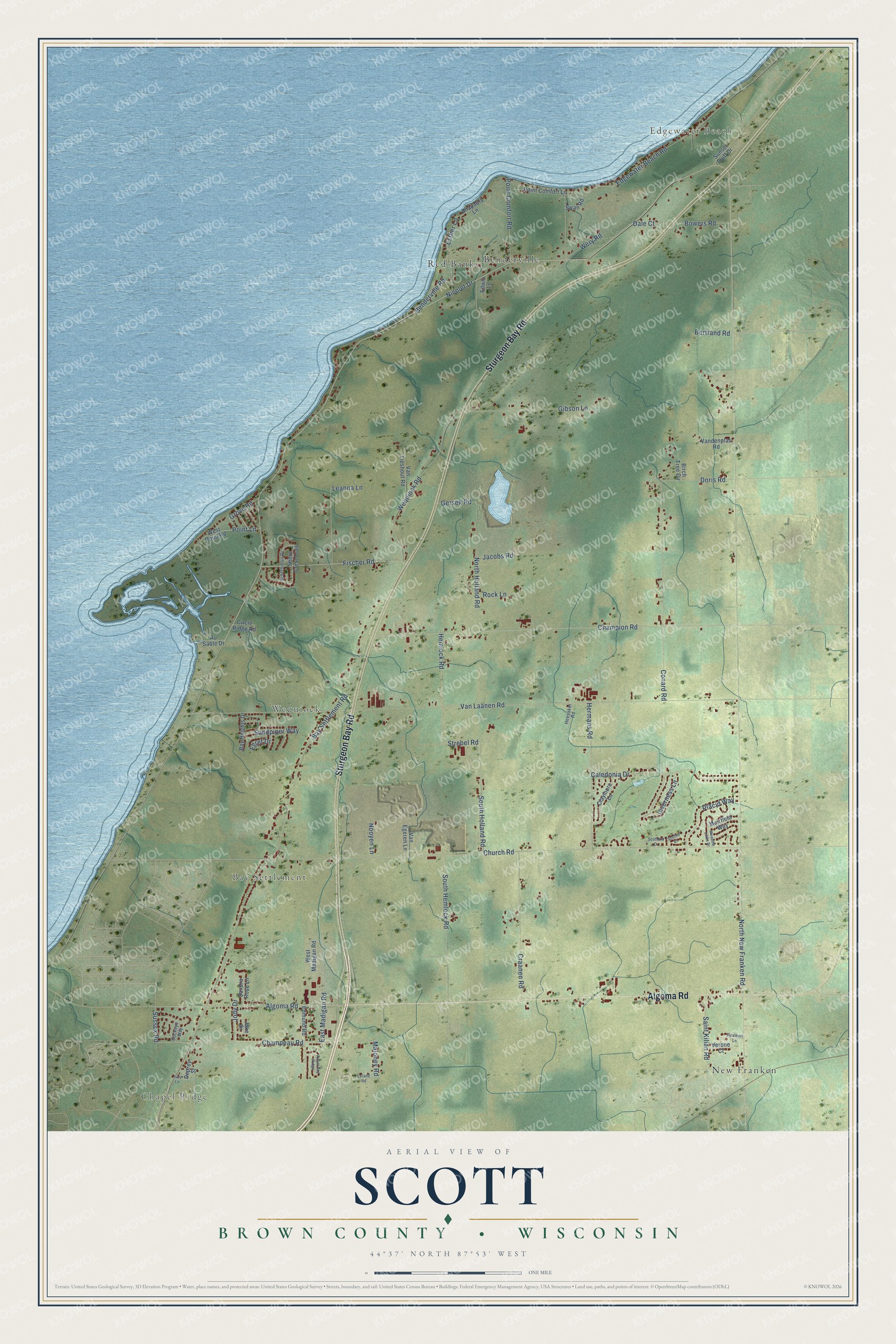
This beautifully detailed map of Scott, Wisconsin was created in 2026 using aerial imagery combined with modern topographical, census, street and landmark data. It's a modern aerial view of Scott in Brown County, Wisconsin, that combines modern data with a vintage aesthetic. The roads feature printed names, and if you look closely you can find your exact house accurately shown in its correct location.
Explore an aerial view of Scott, Wisconsin
On this map you'll find Chapel Ridge, Bay Settlement, Wequiock, Edgewater Beach, Benderville, New Franken, Red Banks, Sturgeon Bay Road, Algoma Road, Sussex Road, Esther Lane, East Madigan Road, and more. Each red shape is a building, so zoom in on the preview and look for yours.
Scott has a story worth telling. The Brown County History puts it this way: "Great kettles like the one found by J. P. Schumacher at Little Red River (La Petite Riviere Rouge) in the northeast corner of the town of Scott near the line of Kewaunee county, one-quarter of a mile from Dyckesville, were used to cook in or to store grain."
Scott is a town in Brown County. The Census Bureau counted 3,636 people here in 2020.
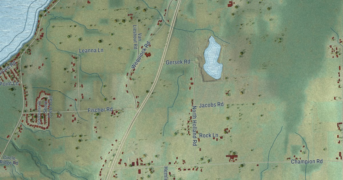
Take a closer look at the Scott map
Names on this map
These names are printed on this map.
Places: Chapel Ridge, Bay Settlement, Wequiock, Edgewater Beach, Benderville, New Franken and Red Banks.
Streets and roads: Sturgeon Bay Road, Algoma Road, Sussex Road, Esther Lane, East Madigan Road, Maloney Road, Nicolet Drive, North New Franken Road, Bay Settlement Road, Van Laanen Road, Church Road, Champion Road.
More street names, A to Z
Adalbert Lane, Anapaula Lane, Au Sable Drive, Bay Heights Drive, Benderville Road, Bertrand Road, Birch Tree Circle, Bowers Road, Buckeye Way, Caledonia Drive, Champeau Road, Circle Ridge Road, Claymore Lane, Conard Road, Craanen Road, Dale Court, Deprey Street, Doris Road, Edgewater Beach Road, Edmund Road, Edwin Lane, Egret Drive, Fischer Road, Gersek Road, Gibson Lane, Grove Road, Heesaker Road, Hemlock Road, Hermans Road, Inverness Lane, Jacobs Road, Jake Drive, Jody Drive, Judy Lane, Leanna Lane, Leland Road, Meadow Links Drive, Muirfield Way, Nooyen Lane, North Holland Road, Placid Way, Point Comfort Lane, Point Comfort Road, Point Lane, Rock Lane, Royal Bay Ridge, Saint Kilian Road, Sandpiper Way, Sandra Rose Lane, Scotchman Drive, Scotland Drive, Scottie Court, Shore Crest Trail, South Hemlock Road, South Holland Road, Strebel Road, Sunset Bluff Drive, Swan Road, Vandenplas Road, Van Egeren Lane, Van Lieshout Road, Verone Court, Wequiock Road, Wery Road, West Madigan Road, West Point Road.
Created by KNOWOL in 2026. The buildings are small red shapes, the roads carry their printed names, and shaded relief shows the shape of the land. The title panel reads "AERIAL VIEW OF SCOTT, BROWN COUNTY • WISCONSIN" with 44°37' NORTH 87°53' WEST.
It looks right in a kitchen, an office or a den, and it's a gift for anyone who grew up in Scott or moved away. Open the preview and find your street. See sizes and frames for the Scott, Brown County map.