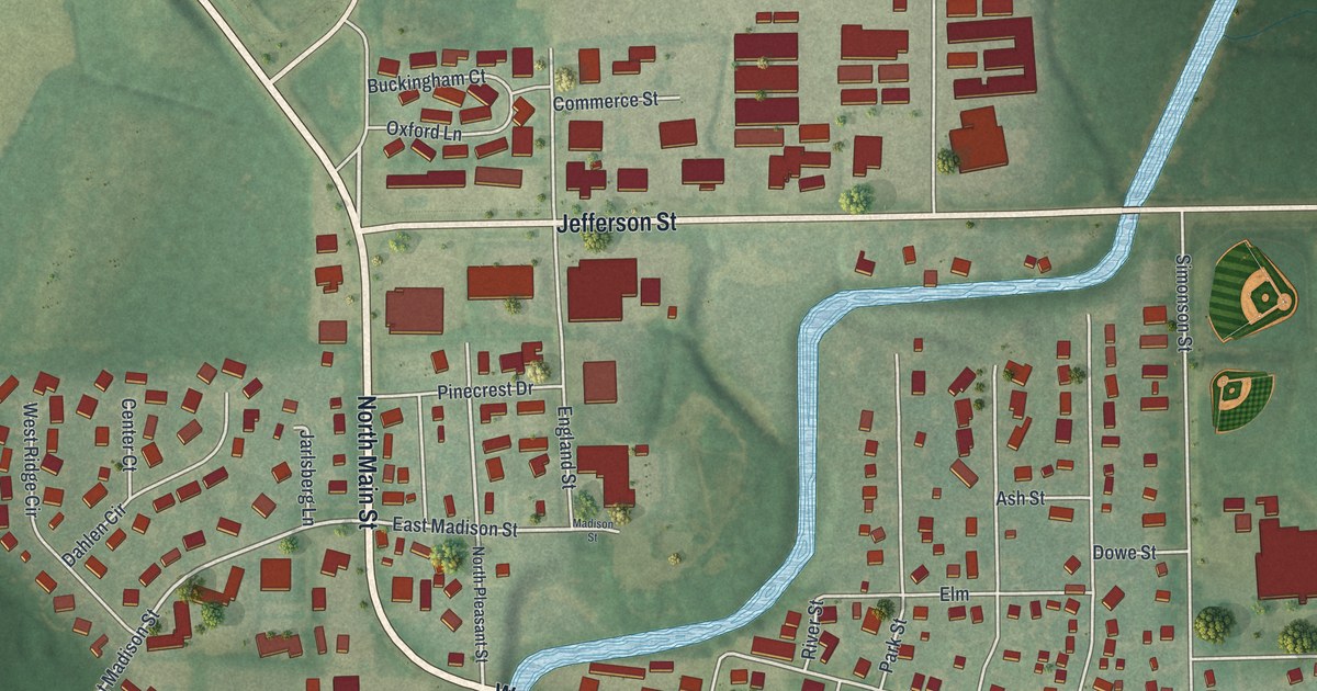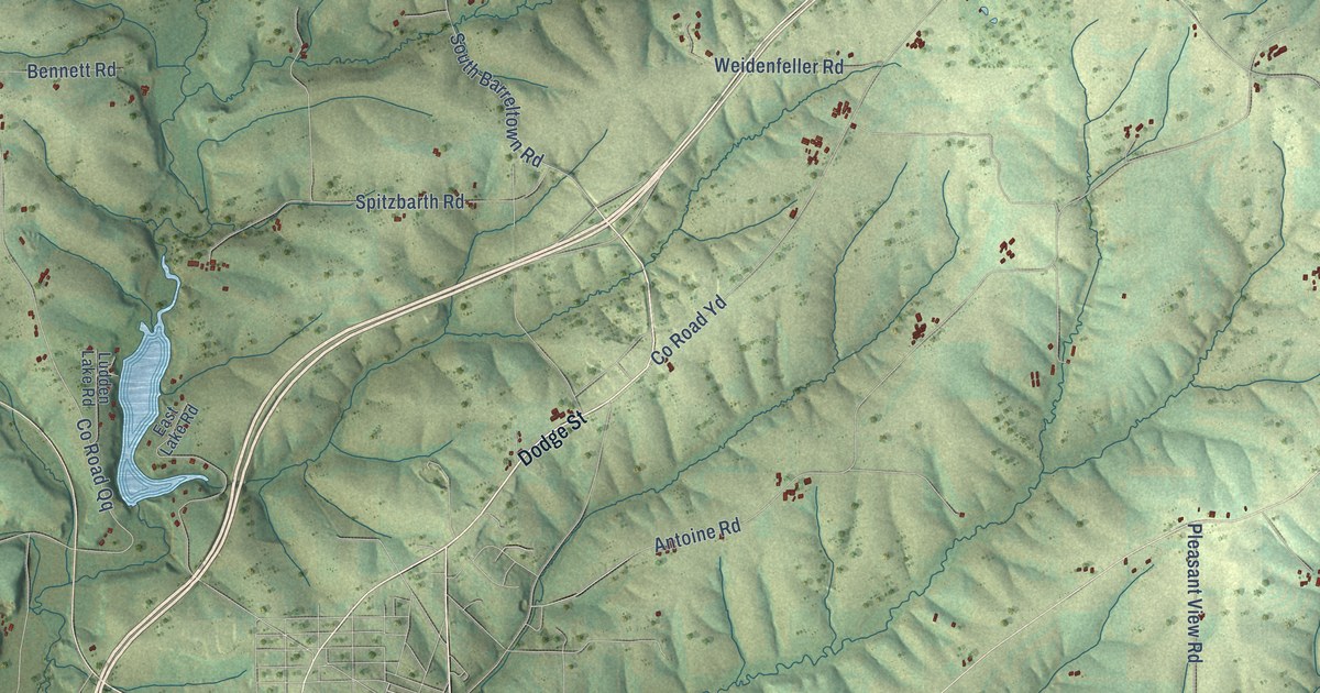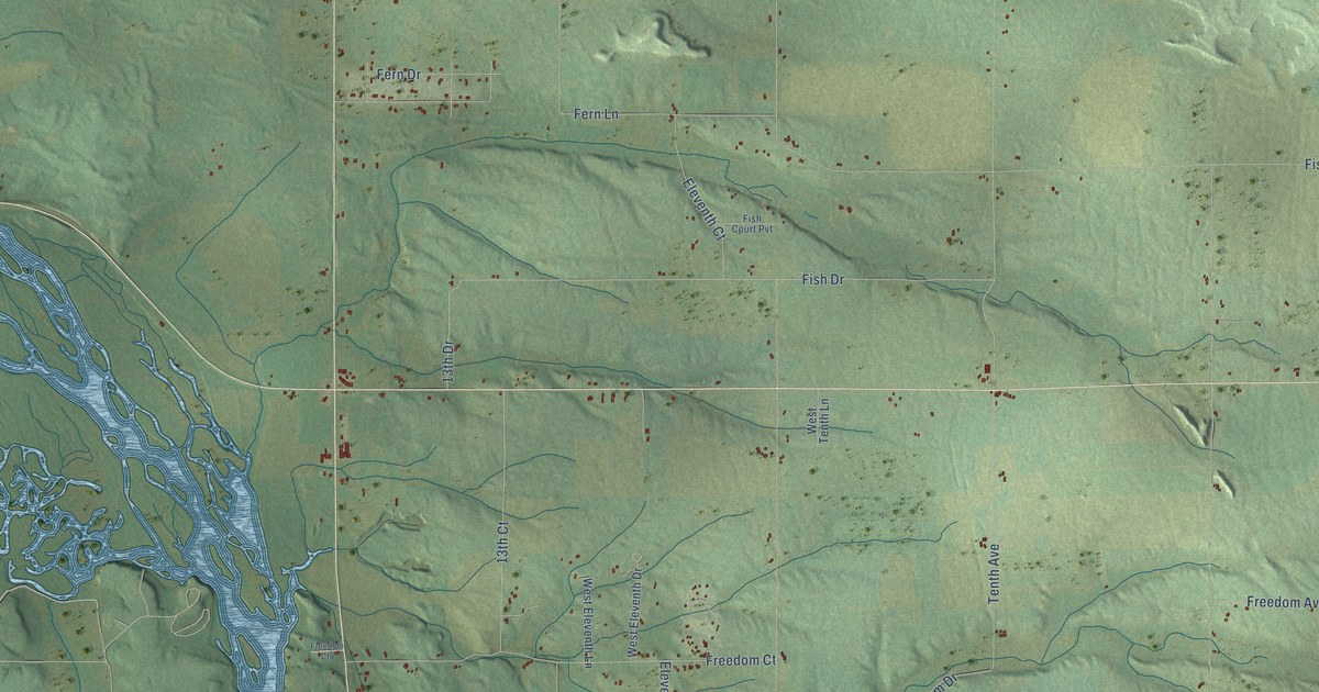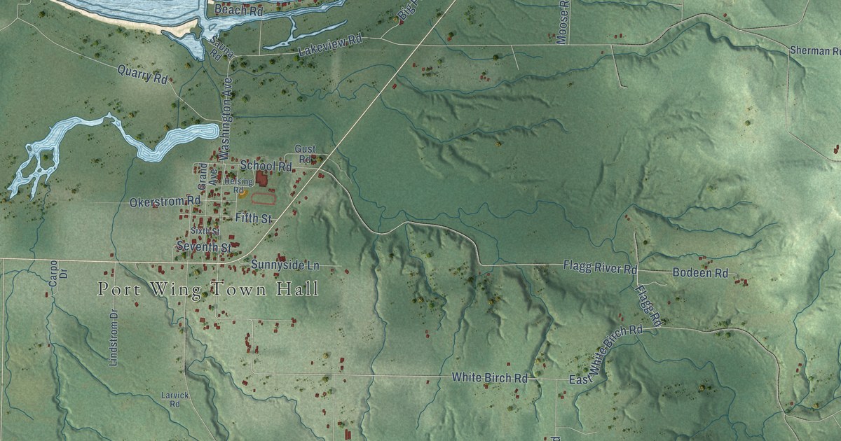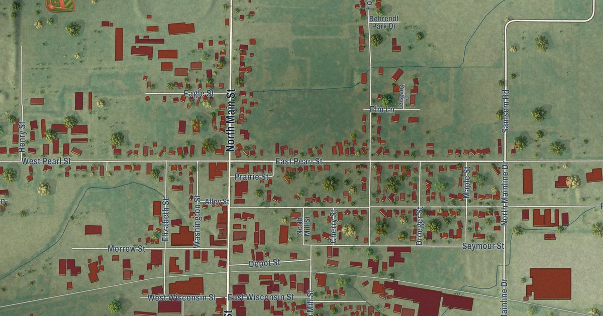
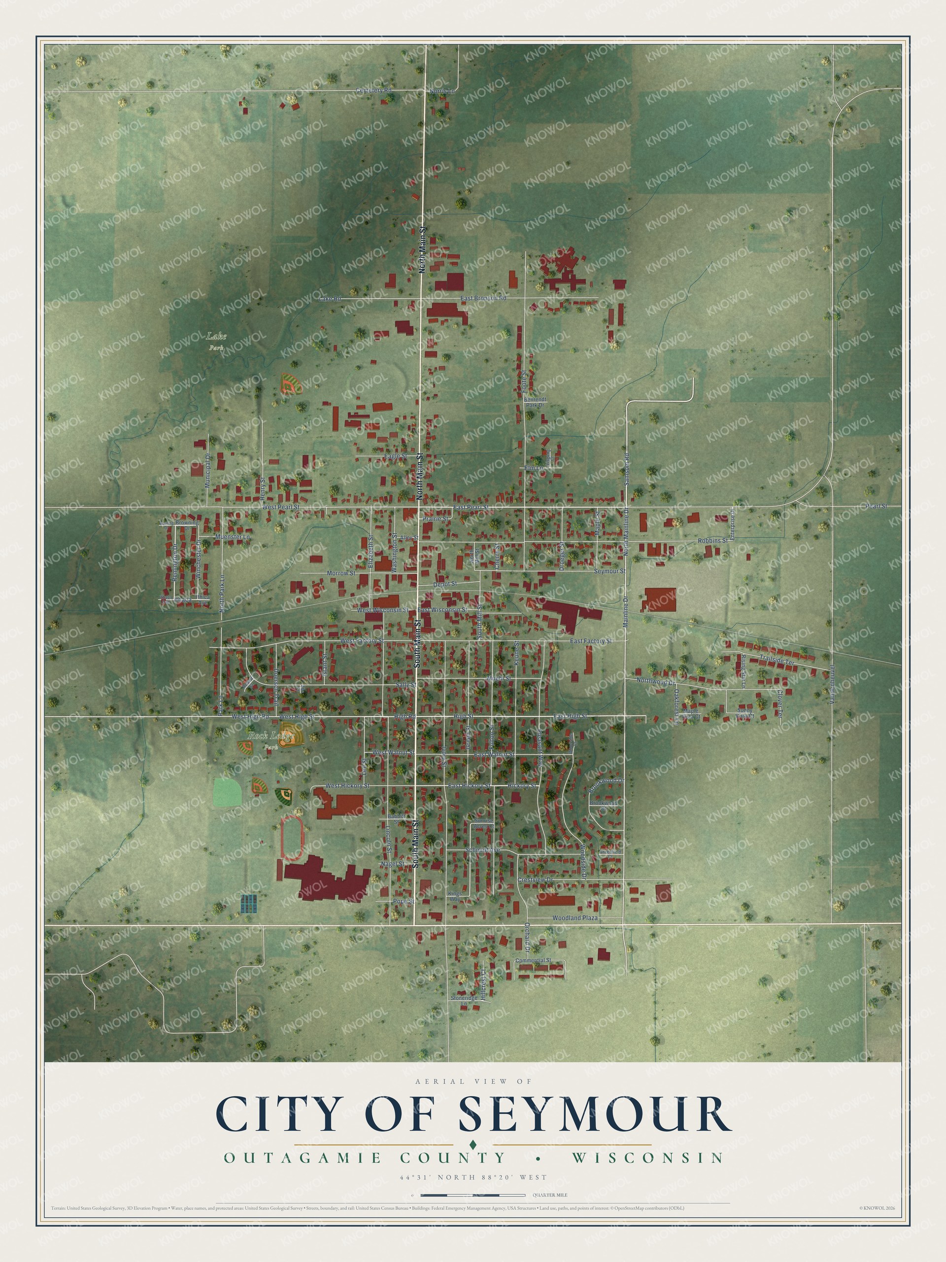
This beautifully detailed map of Seymour, Wisconsin was created in 2026 using aerial imagery combined with modern topographical, census, street and landmark data. It's a modern aerial view of Seymour in Outagamie County, Wisconsin, that combines modern data with a vintage aesthetic. The roads feature printed names, and if you look closely you can find your exact house accurately shown in its correct location.
Explore an aerial view of Seymour, Wisconsin
On this map you'll find Lake Park, Rock Ledge Park, South Main Street, North Main Street, Samsom Road, Remington Drive, Mainline Drive, East Pearl Street, East High Street, High Road, Schmidt Avenue, East Hickory Street, and more. Each red shape is a building, so zoom in on the preview and look for yours.
Every town has a first chapter, and Seymour is no exception. The Pioneers of Outagamie County puts it this way: "Seymour, was a part of the town of Osborne (which derived its name from W. M. Ausbourne), was divided in the year 1867."
Seymour is a city in Outagamie County. The Census Bureau counted 3,546 people here in 2020.
Take a closer look at the Seymour map
Names on this map
These names are printed on this map.
Places: Lake Park and Rock Ledge Park.
Streets and roads: South Main Street, North Main Street, Samsom Road, Remington Drive, Mainline Drive, East Pearl Street, East High Street, High Road, Schmidt Avenue, East Hickory Street, Hickory Street, Green Street.
More street names, A to Z
Abe Court, Alley Street, Babbitt Street, Behrendt Park Drive, Brookwood Court, Brookwood Drive, Browning Drive, Brwning Drive, Cemetery Road, Cherry Street, Clover Terrace, Commercial Street, Crestview Drive, Depot Street, Doersch Trail, Droeger Street, Eagle Street, East Bronson Road, East Factory Street, East Walnut Street, East Wisconsin Street, Elizabeth Street, Elm Lane, Enterprise Drive, Foote Street, Fulton Street, Grant Street, Greenfield Court, Henry Street, High Street, Hillcrest Court, Ithaca, Ithaca Avenue, Ithica Avenue, Ivory Street, Keune Street, Kings Way, Lake Road, Lee Street, Leisgang Court, Lincoln Street, Maple Street, Maple Vista Court, Morrow Street, Muehl Street, Muenster Lane, Municipal Drive, Nagel Street, Norris Lane, North Mainline Drive, North Mill Street, North Park Lane, Northwood Drive, Oakforest Lane, Orchard Drive, Park Lane, Pearl Street, Pleasant Way, Pope Street, Prairie Street, Rising Star Lane, Robbins Street, Robert Court, Sally Street, Seymour Street, South Mill Street, Stoneridge Lane, Sunny Vista Court, Sunrise Acres Court, Trailside Terrace, Vandenheuvel, Washington Street, West Factory Street, West Hickory Street, West High Road, West High Street, West Pearl Street, West Walnut Street, West Wisconsin Street, Winchester Drive, Woodland Plaza, Woodside Court, Woodside Drive.
Created by KNOWOL in 2026. The buildings are small red shapes, the roads carry their printed names, and shaded relief shows the shape of the land. The title panel reads "AERIAL VIEW OF CITY OF SEYMOUR, OUTAGAMIE COUNTY • WISCONSIN" with 44°31' NORTH 88°20' WEST.
Hang it in the hallway, the office or the cabin, or give it to someone who left Seymour and still calls it home. Open the preview and look for a street you know. See sizes and frames for the Seymour map.