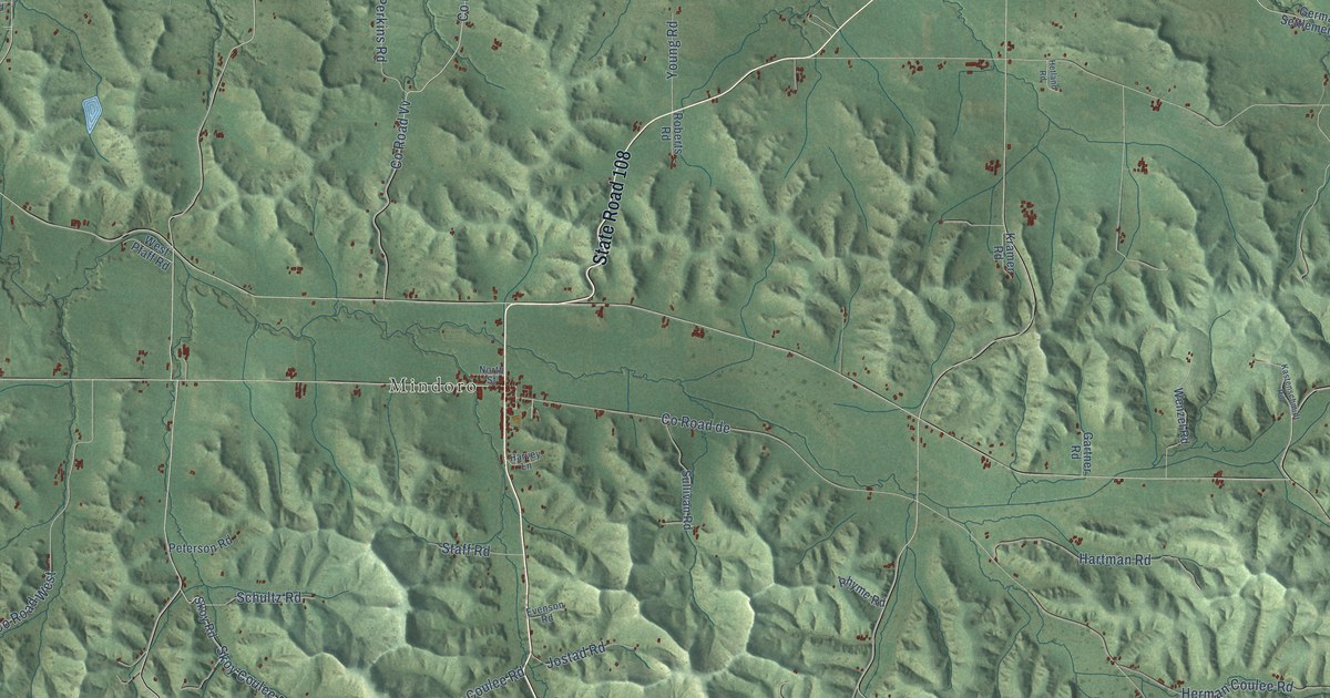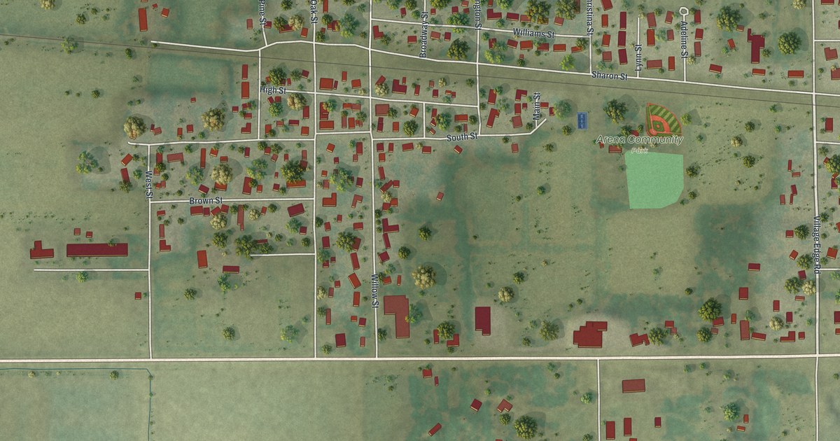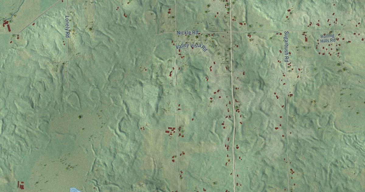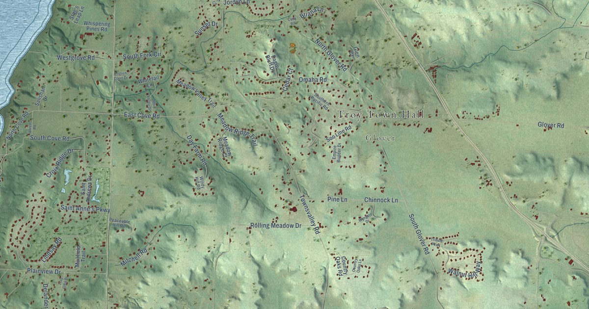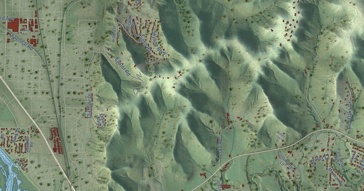
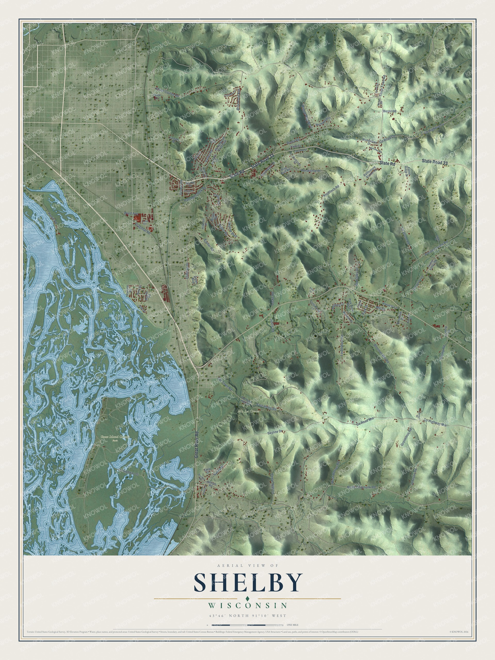
This beautifully detailed map of Shelby, Wisconsin was created in 2026 using aerial imagery combined with modern topographical, census, street and landmark data. It's a modern aerial view of Shelby in La Crosse County, Wisconsin, that combines modern data with a vintage aesthetic. The roads feature printed names, and if you look closely you can find your exact house accurately shown in its correct location.
Explore an aerial view of Shelby, Wisconsin
On this map you'll find Goose Island County Park, Great River Road, State Road, State Road 33, Ward Avenue, Old Town Road, North Chipmunk Road, Johnson Road, Valley Road, Co Highway Gi, Diagonal Road, Co Highway Mm, and more. Each red shape is a building, so zoom in on the preview and look for yours.
Here is a piece of Shelby history, in the words of the record. The Internet Archive puts it this way: "Has held various town and school ofioaa, and is at present Town Clerk, which
office he has held since 1865."
Shelby is a town in La Crosse County. The Census Bureau counted 4,804 people here in 2020.
Take a closer look at the Shelby map
Names on this map
These names are printed on this map.
Places: Goose Island County Park and Mt. La Crosse.
Streets and roads: Great River Road, State Road, State Road 33, Ward Avenue, Old Town Road, North Chipmunk Road, Johnson Road, Valley Road, County Highway Gi, Diagonal Road, County Highway Mm, County Road Mm.
More street names, A to Z
Bank Drive, Battlestone Station Road, Birchwood Lane, Bloomer Mill Road, Boma Road, Breidel Coulee Road, Briarwood Avenue, Brookside Drive, Carla Court, Cedar Hills Lane, Cedar Road, Cliffside Drive, Continental Lane, Coulee Avenue, County Highway Fo, County Road Fo, County Road Yy, Crown Boulevard, Crystal Drive, Dengel Road, Drivein Road, Easter Road, East Helke Road, Ebner Coulee Road, Evergreen Lane, Farnam Street, Floral Lane, Forest Ridge Drive, Glenhaven Drive, Glenn Drive, Gronemus Road, Hagen Road, Hanifl Road, Harvest Lane, Hickory Lane, Hillcrest Drive, Horseshoe Place, Irish Court, Janisch Road, Joy Lane, Justin Road, Kammel Road, Kearns Court, Knobloch Road, Kreutz Lane, Lauterbach Road, Le Jeune Road, Leske Road, Markle Road, McLaren Road, Meyer Road, Mickel Road, Mill Street, Mormon Drive, Nolop Road, Norsemen Drive, Oak Drive, Old Highway 35, Old Town Hall Road, Pammel Creek Road, Park Drive, Park Drive West, Pine Bluff Road, Pineview Drive, Red Oaks Drive, Rochelt Road, Skemp Road, Skyline Boulevard, Skyline Drive, Southdale Drive, Starlite Drive, Stonecrest Road, Terry Court, Thistledown Drive, Three Town Road, Timber Valley Road, Vanity Drive, Vista Drive, Wedgewood Drive East, Wedgewood Drive West, West Werner Road, Willow Way West, Woodhaven Drive.
Created by KNOWOL in 2026. The buildings are small red shapes, the roads carry their printed names, and shaded relief shows the shape of the land. The title panel reads "AERIAL VIEW OF SHELBY, WISCONSIN" with 43°46' NORTH 91°10' WEST.
It suits a den, a classroom or a front hall, and it makes a gift for anyone with Shelby roots. Open the preview and find the block you know. See sizes and frames for the Shelby map.