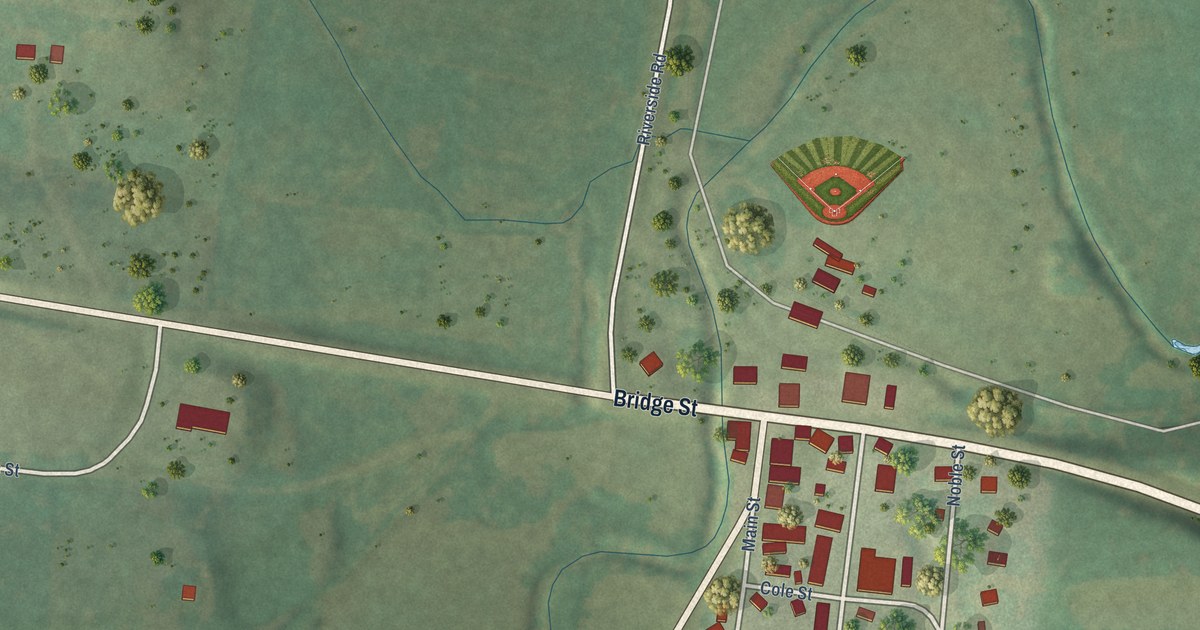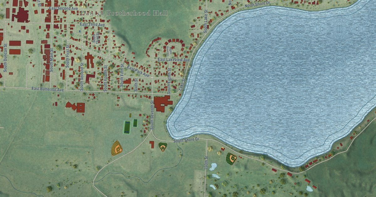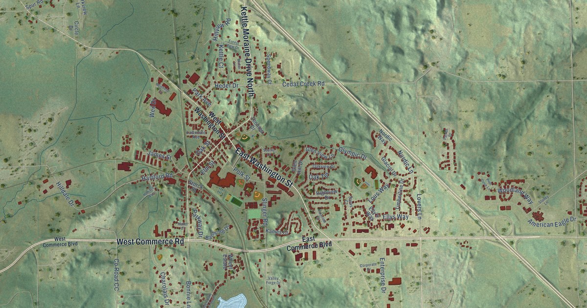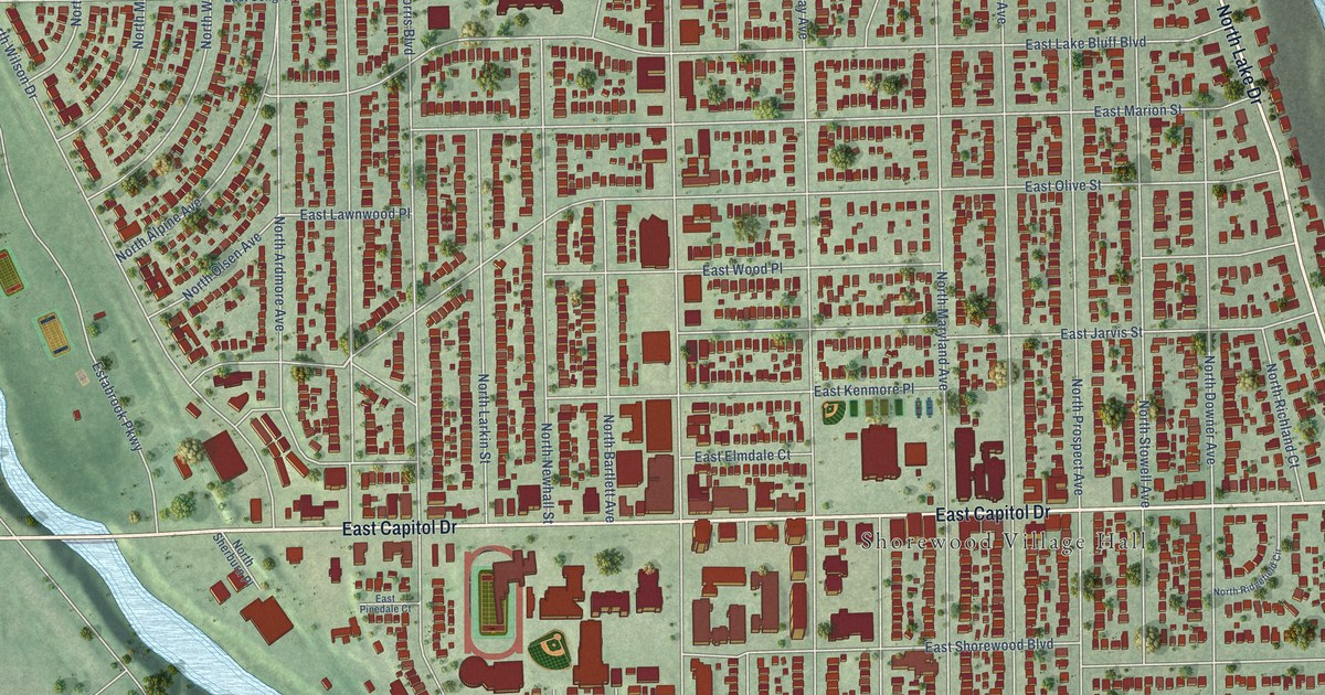
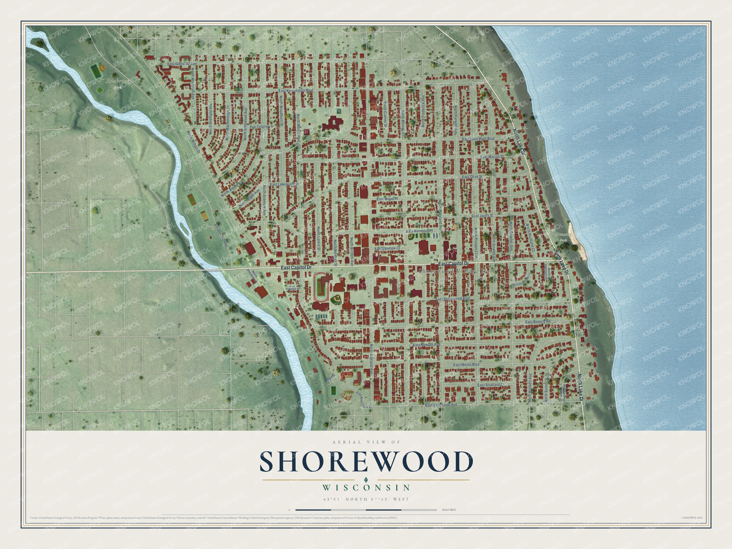
This beautifully detailed map of Shorewood, Wisconsin was created in 2026 using aerial imagery combined with modern topographical, census, street and landmark data. It's a modern aerial view of Shorewood in Milwaukee County, Wisconsin, that combines modern data with a vintage aesthetic. The roads feature printed names, and if you look closely you can find your exact house accurately shown in its correct location.
Explore an aerial view of Shorewood, Wisconsin
On this map you'll find Shorewood Village Hall, Estabrook Park, Atwater Park, River Park, North Lake Drive, East Capitol Drive, North Woodburn Street, North Oakland Avenue, North Morris Boulevard, North Murray Avenue, North Maryland Avenue, North Prospect Avenue, and more. Each red shape is a building, so zoom in on the preview and look for yours.
Shorewood has a story worth telling. The Wisconsin Historical Society puts it this way: "The development of present-day Shorewood began in 1836, when developers tried to establish an industrial community called Mechanicsville on the Milwaukee River."
Shorewood is a village in Milwaukee County. The Census Bureau counted 13,859 people here in 2020.
Take a closer look at the Shorewood map
Names on this map
These names are printed on this map.
Places: Shorewood Village Hall, Estabrook Park, Atwater Park and River Park.
Streets and roads: North Lake Drive, East Capitol Drive, North Woodburn Street, North Oakland Avenue, North Morris Boulevard, North Murray Avenue, North Maryland Avenue, North Prospect Avenue, East Kensington Boulevard, East Olive Street, East Lake Bluff Boulevard, East Beverly Road.
More street names, A to Z
East Congress Street, East Edgewood Avenue, East Elmdale Court, East Glendale Avenue, East Jarvis Street, East Kenmore Place, East Lawnwood Place, East Marion Street, East Menlo Boulevard, East Newton Avenue, East Pinedale Court, East River Park Court, East Shorewood Boulevard, East Stratford Court, East Wood Place, Estabrook Parkway, Morris, North Alpine Avenue, North Ardmore Avenue, North Bartlett Avenue, North Cramer Street, North Downer Avenue, North Farwell Avenue, North Frederick Avenue, North Hackett Avenue, North Harcourt Place, North Larkin Street, North Marlborough Drive, North Newhall Street, North Olsen Avenue, North Richland Court, North Ridgefield Circle, North Sheffield Avenue, North Shepard Avenue, North Sherburn Place, North Stowell Avenue, North Summit Avenue, North Wildwood Avenue, North Wilson Drive, North Woodruff Avenue.
Created by KNOWOL in 2026. The buildings are small red shapes, the roads carry their printed names, and shaded relief shows the shape of the land. The title panel reads "AERIAL VIEW OF SHOREWOOD, WISCONSIN" with 43°05' NORTH 87°53' WEST.
It looks right in a kitchen, an office or a den, and it's a gift for anyone who grew up in Shorewood or moved away. Open the preview and find your street. See sizes and frames for the Shorewood map.