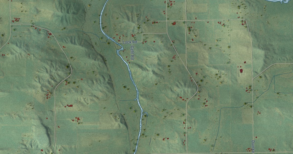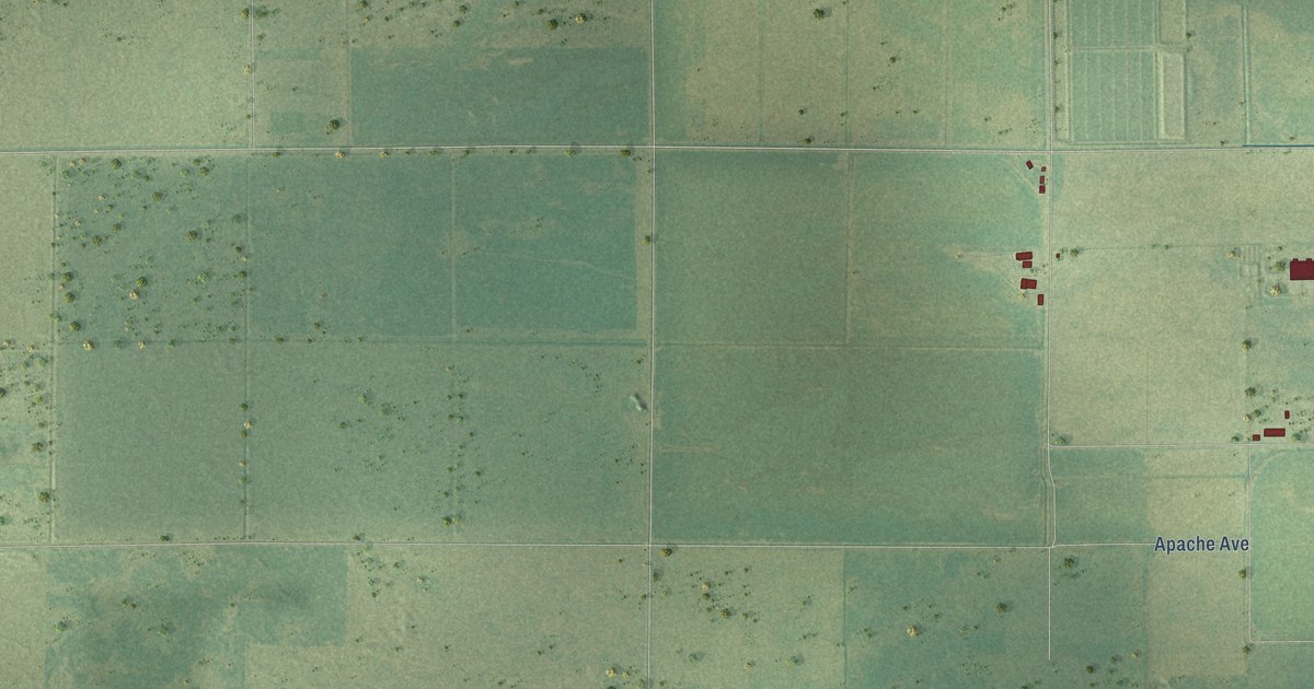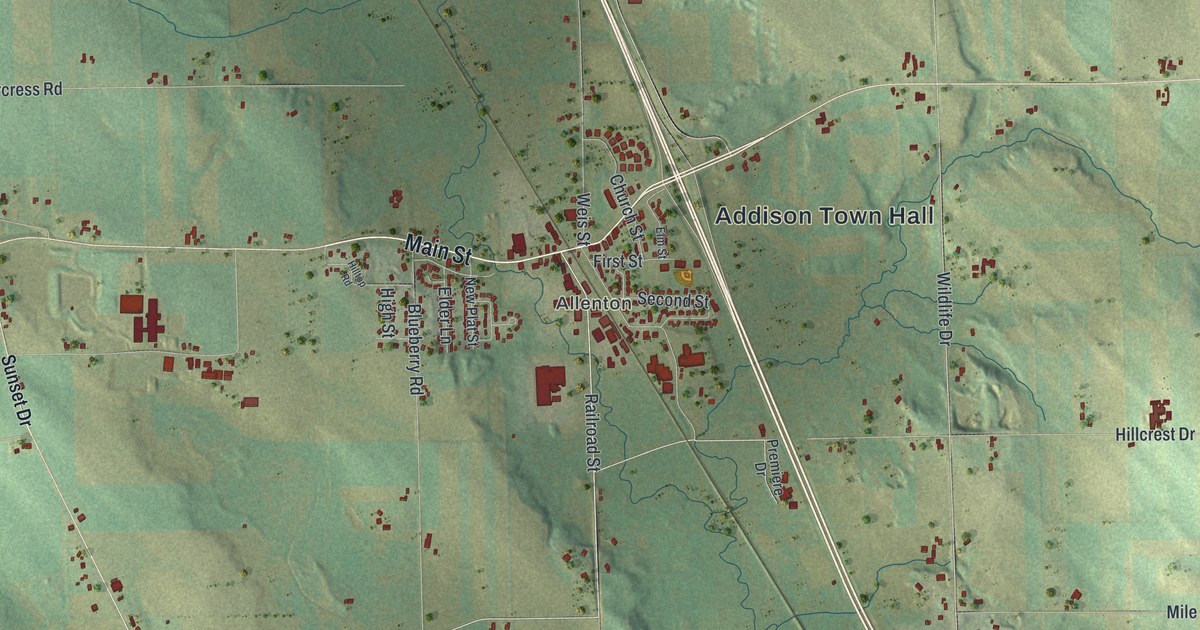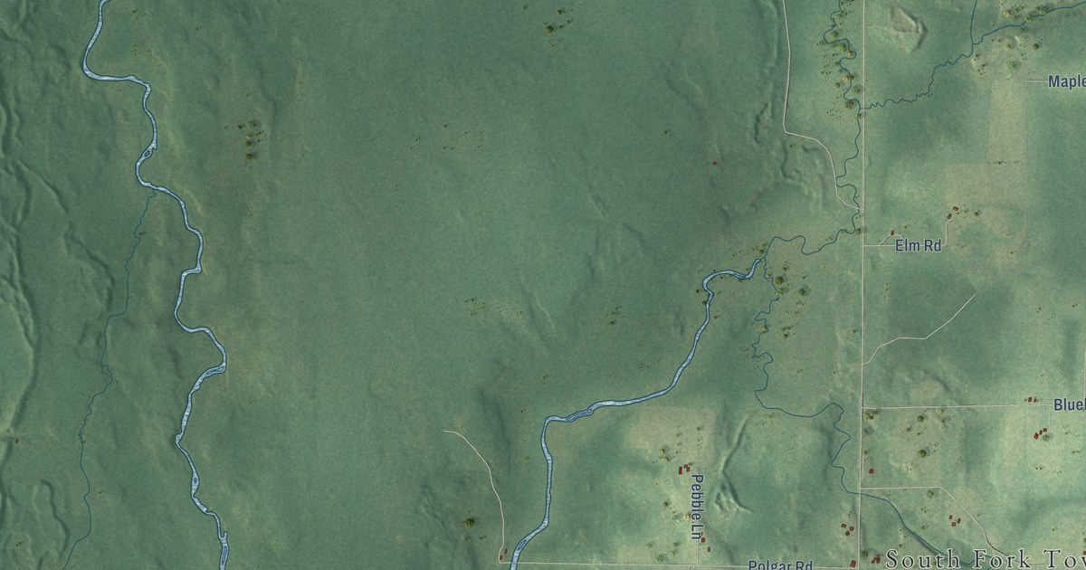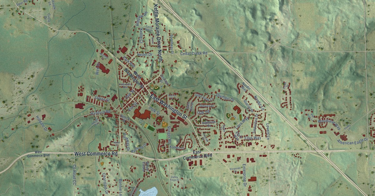
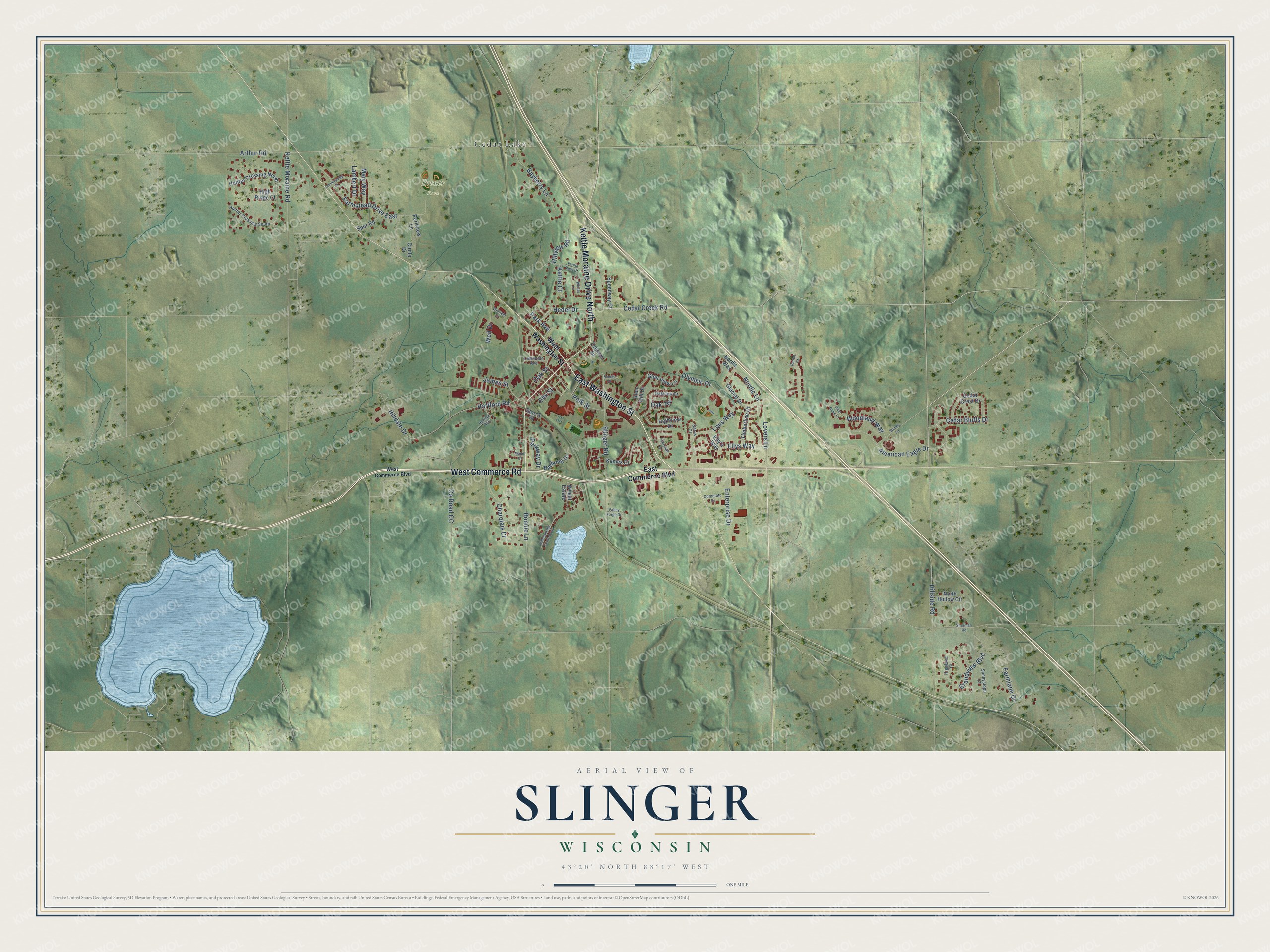
This beautifully detailed map of Slinger, Wisconsin was created in 2026 using aerial imagery combined with modern topographical, census, street and landmark data. It's a modern aerial view of Slinger in Washington County, Wisconsin, that combines modern data with a vintage aesthetic. The roads feature printed names, and if you look closely you can find your exact house accurately shown in its correct location.
Explore an aerial view of Slinger, Wisconsin
On this map you'll find Breuer Park, Cedar Lake, East Washington Street, West Commerce Road, Cedar Creek Road, Heder Drive, Polk Street, American Eagle Drive, Arthur Road, Hillside Road, Slinger Road, Hartford Road, and more. Each red shape is a building, so zoom in on the preview and look for yours.
Slinger has a story worth telling. The Washington County History puts it this way: "Soon after Schleisingerville had become a railroad station, Lehman Rosenheimer, another merchant, arrived on the scene of business activities in the infant village."
Slinger is a village in Washington County. The Census Bureau counted 5,992 people here in 2020.
Take a closer look at the Slinger map
Names on this map
These names are printed on this map.
Places: Breuer Park and Cedar Lake.
Streets and roads: East Washington Street, West Commerce Road, Kettle Moraine Drive North, Cedar Creek Road, Heder Drive, Polk Street, American Eagle Drive, Arthur Road, Hillside Road, Slinger Road, Hartford Road, Kettle Moraine Road.
More street names, A to Z
Baehring Drive, Bayberry Lane, Bonnie Lane, Cedar Bluffs Drive, Cedar Crest Drive, Charolais Drive, Circle Drive, Corporate Drive, Countryside Drive, County Road CC, East Commerce Boulevard, Elly's Way, Ellys Way, Elm Street, Enterprise Drive, Fairview Court, Farmlane Drive, Farmstead Drive East, Forest View Drive, Glacial Drive, Glen Hill Drive, Glen View Lane, Grandview Boulevard, Hidden Lake Court South, Highland Court, High Ridge Court, Highview Drive, Hilldale Drive, Hillview Road, Howard Avenue, Hunter Crossing North, Hunter Crossing South, James Street, Kames Court, Kettle Court, Lambert Drive, Lawndale Avenue, Lous Way, Lovers Lane, Manor Court, Mary Way, Nordic Lane, Nordic Way, North Hollow Circle, Oak Street, Oak Terrace, Oakview Drive, Olympic Drive, Park Avenue, Parkview Lane, Parkway Drive, Patriot Court, Pine Cove Lane, Saras Court, Scenic Court, Sherman Road, Speedway Court, Spur Road, Stoney Lane, Storck Street, Sunnyslope Court, Tennies Drive, Timberline Drive, Valley Forge Drive, Weil Drive, West Commerce Boulevard, West Washington Street, Wheel Estate, Winfield Court, Winter Lane, Woodland Way.
Created by KNOWOL in 2026. The buildings are small red shapes, the roads carry their printed names, and shaded relief shows the shape of the land. The title panel reads "AERIAL VIEW OF SLINGER, WISCONSIN" with 43°20' NORTH 88°17' WEST.
It looks right in a kitchen, an office or a den, and it's a gift for anyone who grew up in Slinger or moved away. Open the preview and find your street. See sizes and frames for the Slinger map.