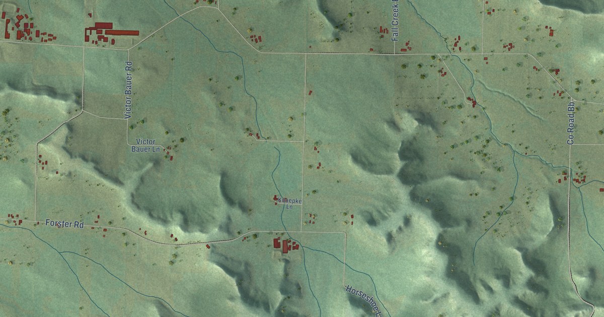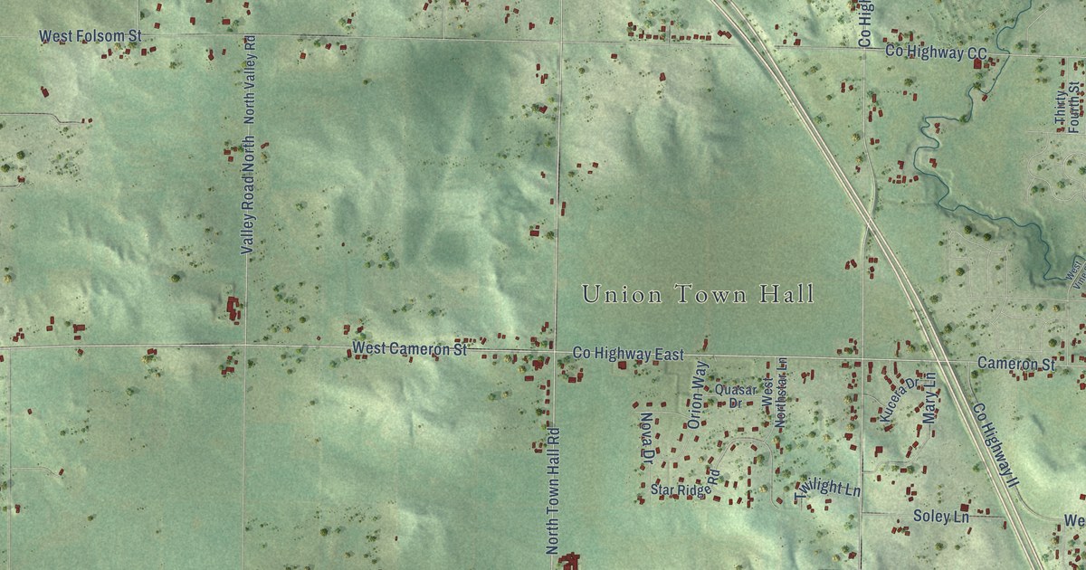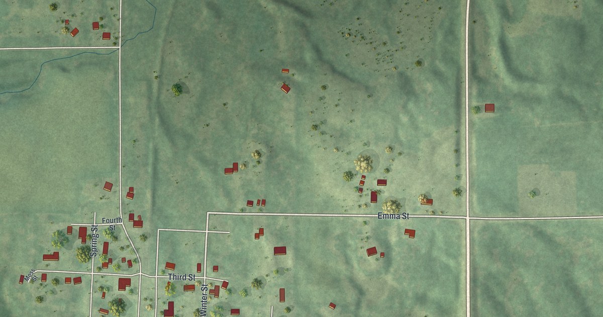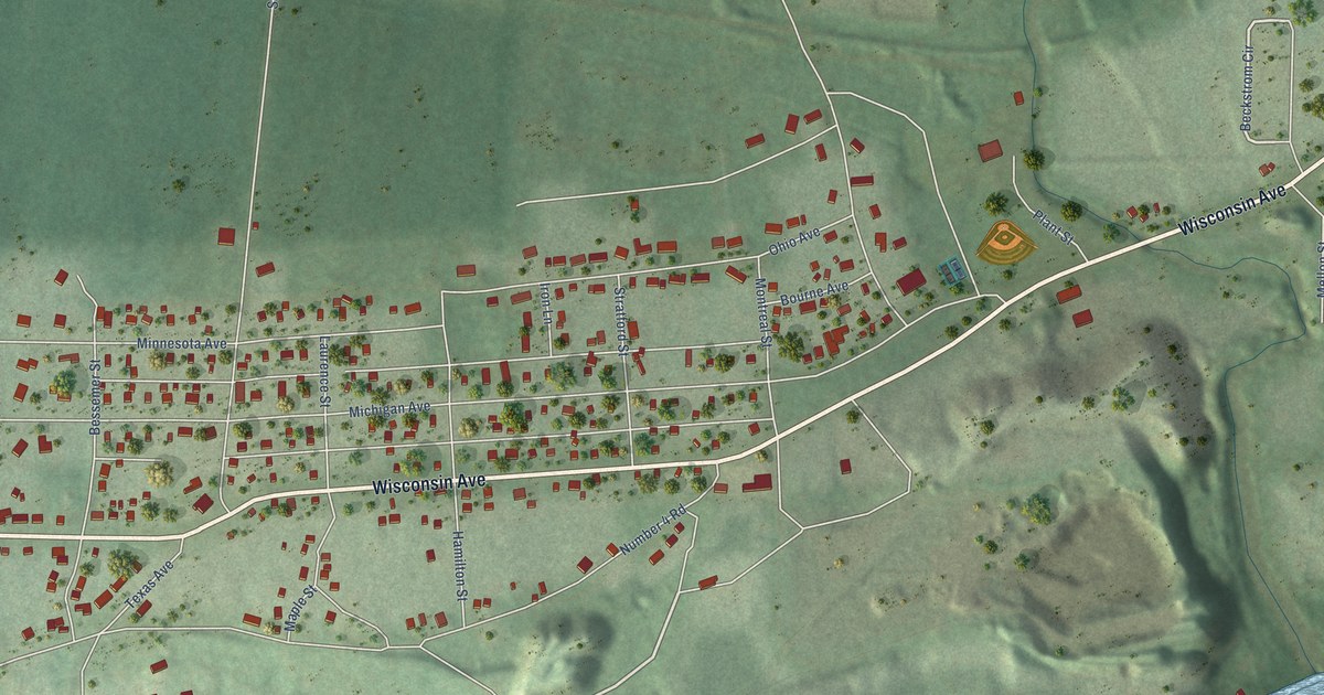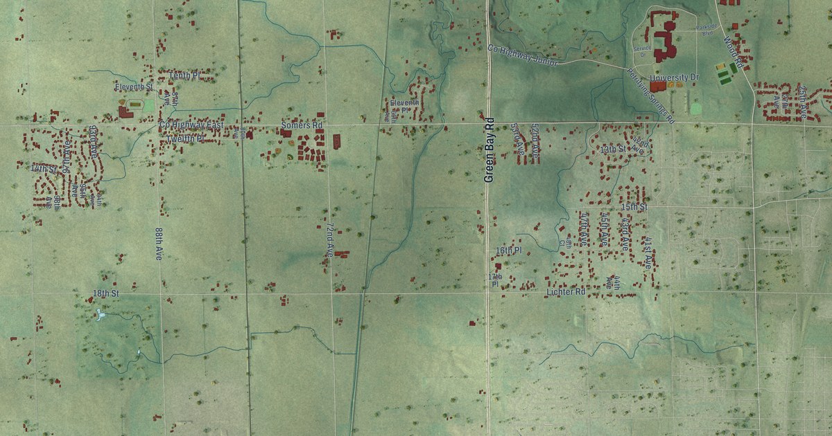
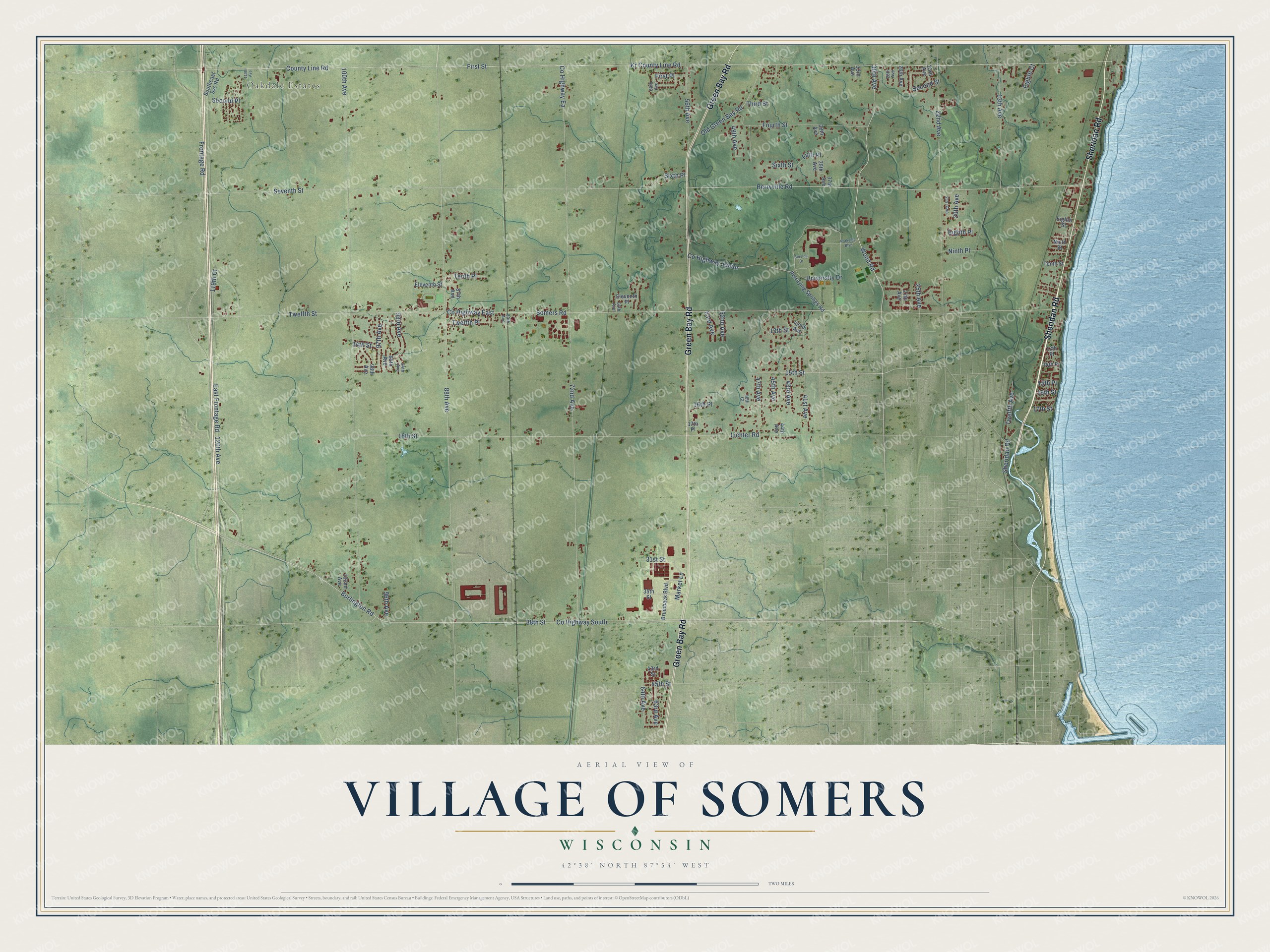
This beautifully detailed map of Somers, Wisconsin was created in 2026 using aerial imagery combined with modern topographical, census, street and landmark data. It's a modern aerial view of Somers in Kenosha County, Wisconsin, that combines modern data with a vintage aesthetic. The roads feature printed names, and if you look closely you can find your exact house accurately shown in its correct location.
Explore an aerial view of Somers, Wisconsin
On this map you'll find Oakdale Estates, Sheridan Road, Green Bay Road, Co Highway South, 38th Street, 30th Avenue, Burlington Road, 15th Street, Wood Road, Frontage Road, 49th Avenue, 25th Avenue, and more. Each red shape is a building, so zoom in on the preview and look for yours.
Here is a piece of Somers history, in the words of the record. The Internet Archive puts it this way: "In Township 2, Range 22 east, with a population of nearly an hundred, and supplied with
schools, a Methodist Church at Kellogg's Corners, another on Section 15, erected in 1863, and
a Presbyterian Church at Leet's Corners, built in 1847."
Somers is a village in Kenosha County. The Census Bureau counted 8,402 people here in 2020.
Take a closer look at the Somers map
Names on this map
These names are printed on this map.
Places: Oakdale Estates.
Streets and roads: Sheridan Road, Green Bay Road, County Highway South, 38th Street, 30th Avenue, Burlington Road, 15th Street, Wood Road, Frontage Road, 49th Avenue, 25th Avenue, 43rd Avenue.
More street names, A to Z
13th Avenue, 13th Place, 13th Street, 14th Place, 14th Street, 15th Place, 16th Place, 16th Street, 17th Place, 17th Street, 18th Street, 20th Avenue, 21st Avenue, 22nd Avenue, 23rd Avenue, 26th Avenue, 27th Avenue, 28th Avenue, 31st Street, 33rd Avenue, 35th Street, 37th Avenue, 38th Avenue, 39th Avenue, 41st Avenue, 42nd Avenue, 43rd Street, 44th Avenue, 45th Avenue, 45th Street, 47th Avenue, 48th Court, 52nd Avenue, 53rd Avenue, 56th Avenue, 60th Avenue, 63rd Avenue, 64th Avenue, 65th Avenue, 72nd Avenue, 80th Avenue, 87th Avenue, 88th Avenue, 93rd Avenue, 94th Avenue, 95th Avenue, 96th Avenue, 97th Avenue, 98th Avenue, 100th Avenue, 102nd Avenue, 113th Avenue, 119th Court, 120th Avenue, Berryville Road, Brumback Boulevard, County Highway Ea, County Highway East, County Highway Junior, County Line Road, East Frontage Road, Eighth Court, Eighth Place, Eighth Street, Eleventh Place, Eleventh Street, Fifth Place, First Place, First Street, Fourth Street, Kr County Line Road, Lichter Road, Market Lane, Ninth Place, Ninth Street, Old Green Bay Road, Parkside Boulevard, Petrifying Springs Road, Second Place, Second Street, Service Drive, Seventh Street, Sixth Place, Sixth Street, Somers Road, Southeast Svc Road, Tenth Place, Tenth Street, Third Street, Twelfth Avenue, Twelfth Place, Twelfth Street, University Drive.
Created by KNOWOL in 2026. The buildings are small red shapes, the roads carry their printed names, and shaded relief shows the shape of the land. The title panel reads "AERIAL VIEW OF VILLAGE OF SOMERS, WISCONSIN" with 42°38' NORTH 87°54' WEST.
It suits a den, a classroom or a front hall, and it makes a gift for anyone with Somers roots. Open the preview and find the block you know. See sizes and frames for the Somers map.