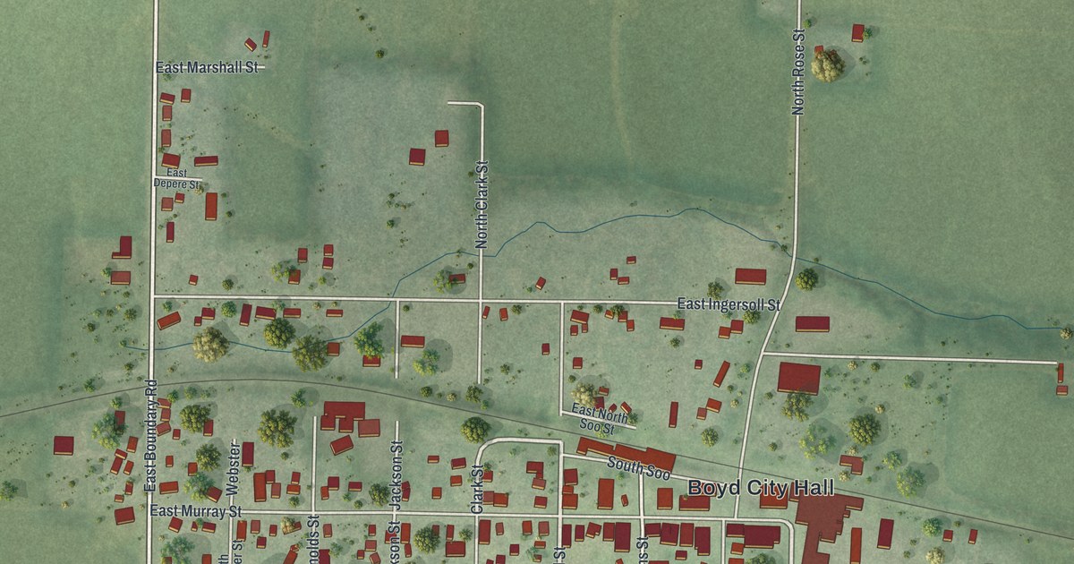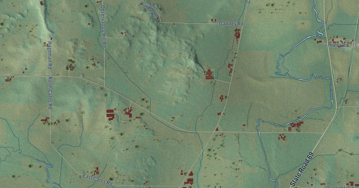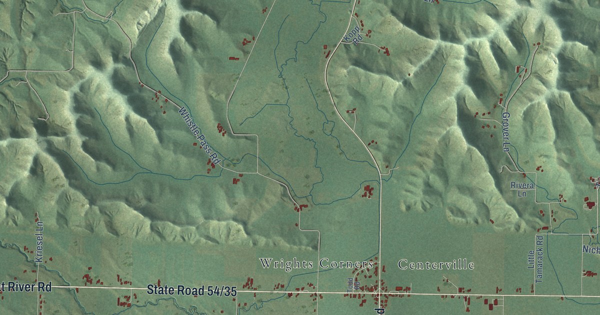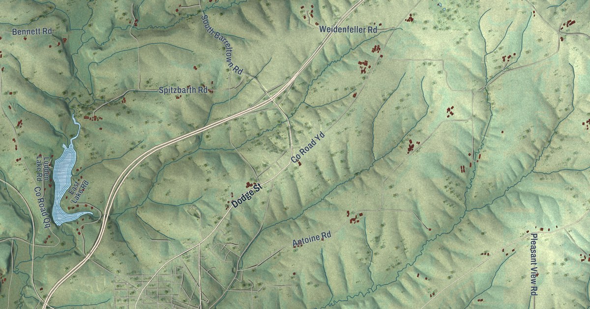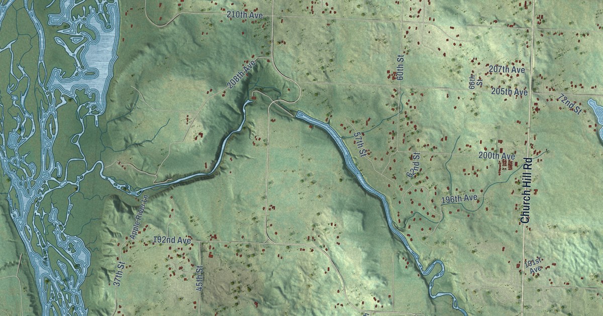
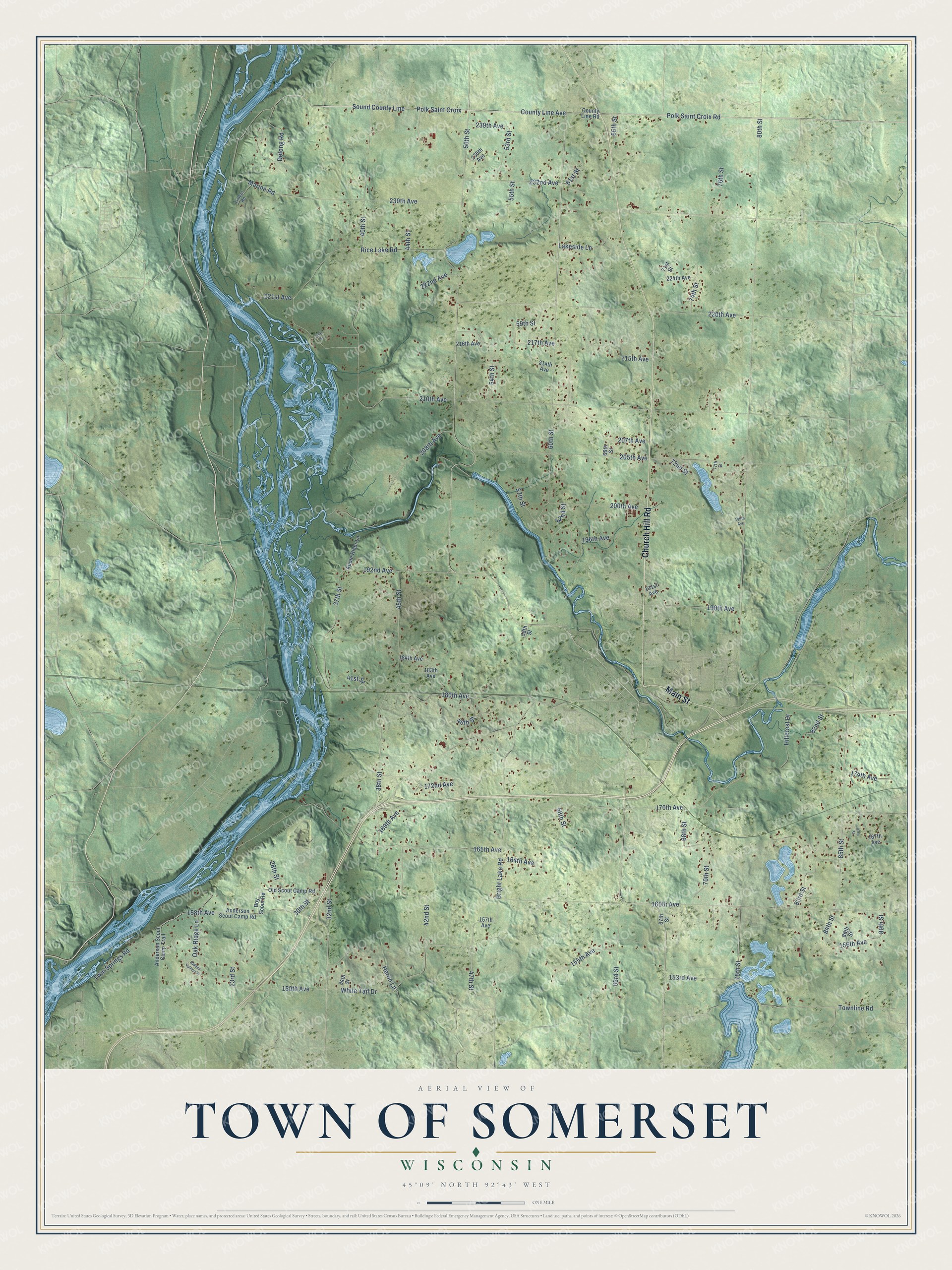
This beautifully detailed map of Somerset, Wisconsin was created in 2026 using aerial imagery combined with modern topographical, census, street and landmark data. It's a modern aerial view of Somerset in St. Croix County, Wisconsin, that combines modern data with a vintage aesthetic. The roads feature printed names, and if you look closely you can find your exact house accurately shown in its correct location.
Explore an aerial view of Somerset, Wisconsin
On this map you'll find Main Street, Church Hill Road, Polk Saint Croix Road, County Line Avenue, Polk Saint Croix, Sound County Line, 158th Avenue, 80th Street, Bright Lake Road, 85th Street, Marine Road, 47th Street, and more. Each red shape is a building, so zoom in on the preview and look for yours.
Here is a piece of Somerset history, in the words of the record. The History of Northern Wisconsin puts it this way: "The present church was built in Somerset Village in 1875. The first settler in the town of Somerset was Joseph Parent, who came in 1850."
Somerset is a town in St. Croix County. The Census Bureau counted 4,291 people here in 2020.
Take a closer look at the Somerset map
Names on this map
These names are printed on this map.
Streets and roads: Main Street, Church Hill Road, Polk Saint Croix Road, County Line Avenue, Polk Saint Croix, Sound County Line, 158th Avenue, 80th Street, Bright Lake Road, 85th Street, Marine Road, 47th Street.
More street names, A to Z
23rd Street, 28th Street, 30th Street, 32nd Street, 34th Street, 36th Street, 37th Street, 38th Street, 40th Street, 41st Street, 42nd Street, 44th Street, 45th Street, 46th Street, 50th Street, 53rd Street, 54th Street, 55th Street, 56th Street, 57th Street, 58th Street, 59th Street, 60th Street, 61st Street, 62nd Street, 63rd Street, 65th Street, 66th Street, 67th Street, 68th Street, 70th Street, 71st Street, 72nd Street, 74th Street, 75th Street, 76th Street, 77th Street, 82nd Street, 83rd Street, 84th Street, 86th Street, 87th Street, 89th Street, 150th Avenue, 153rd Avenue, 155th Avenue, 156th Avenue, 157th Avenue, 160th Avenue, 164th Avenue, 165th Avenue, 167th Avenue, 169th Avenue, 170th Avenue, 172nd Avenue, 174th Avenue, 180th Avenue, 183th Avenue, 184th Avenue, 190th Avenue, 191st Avenue, 192nd Avenue, 196th Avenue, 199th Avenue, 200th Avenue, 205th Avenue, 207th Avenue, 208th Avenue, 210th Avenue, 214th Avenue, 215th Avenue, 216th Avenue, 217th Avenue, 220th Avenue, 221st Avenue, 222nd Avenue, 224th Avenue, 230th Avenue, 232nd Avenue, 235th Avenue, 239th Avenue, Anderson Scout Camp Road, Anderson Scout Camp Trail, Apple River Lane, Boy Scout Road, County Line Road, Delong Road, Heron Lane, Hidden Valley Circle, Hillcrest Drive, Lakeside Lane, Oak Ridge Lane, Old Scout Camp Road, Rice Lake Road, Timber Road, Townline Road, Twin Springs Road, White Tail Drive.
Created by KNOWOL in 2026. The buildings are small red shapes, the roads carry their printed names, and shaded relief shows the shape of the land. The title panel reads "AERIAL VIEW OF TOWN OF SOMERSET, WISCONSIN" with 45°09' NORTH 92°43' WEST.
It suits a den, a classroom or a front hall, and it makes a gift for anyone with Somerset roots. Open the preview and find the block you know. See sizes and frames for the Town of Somerset map.