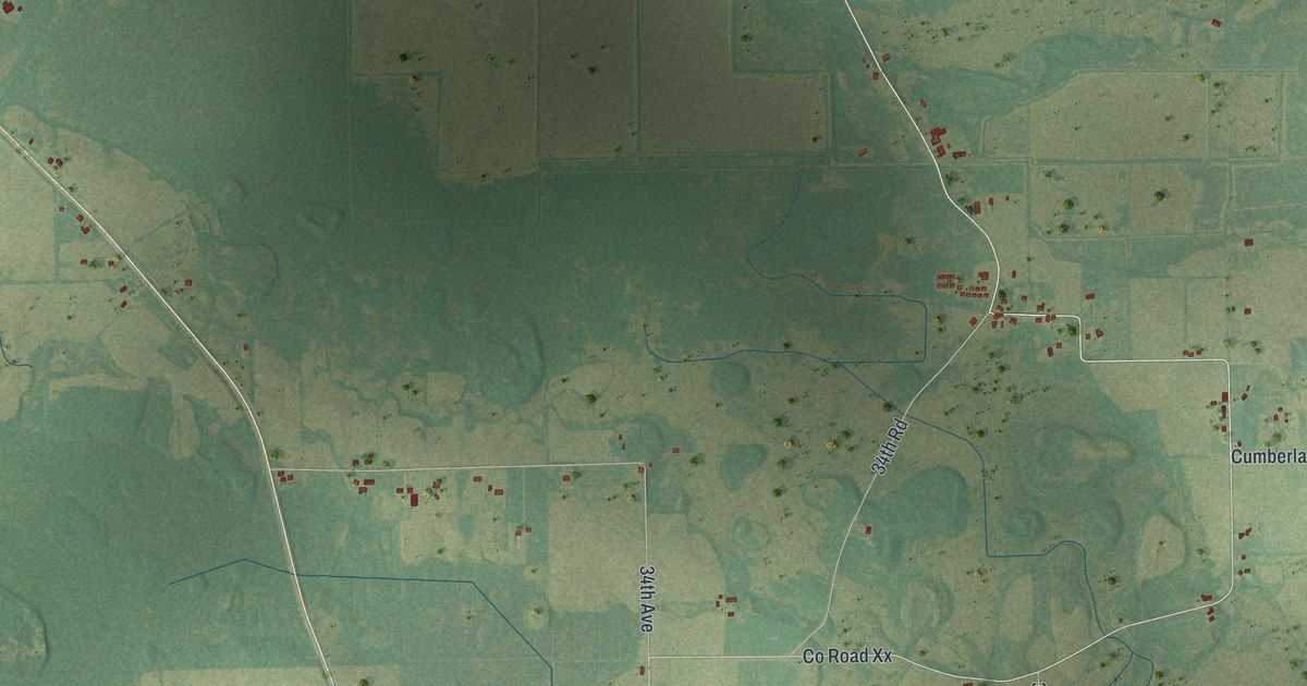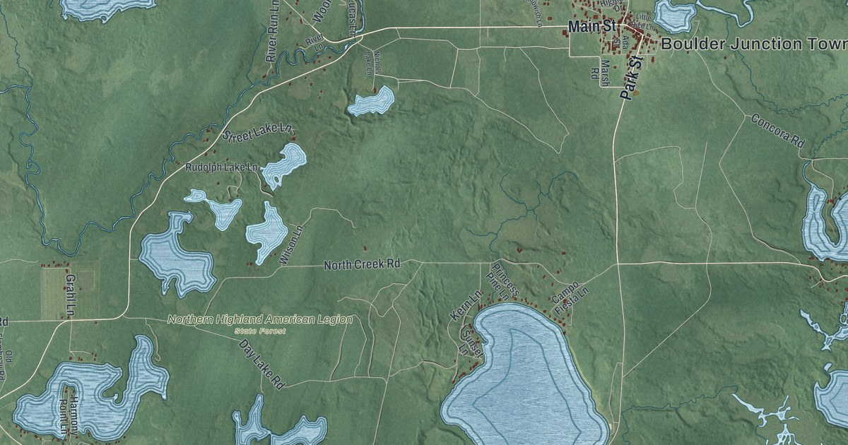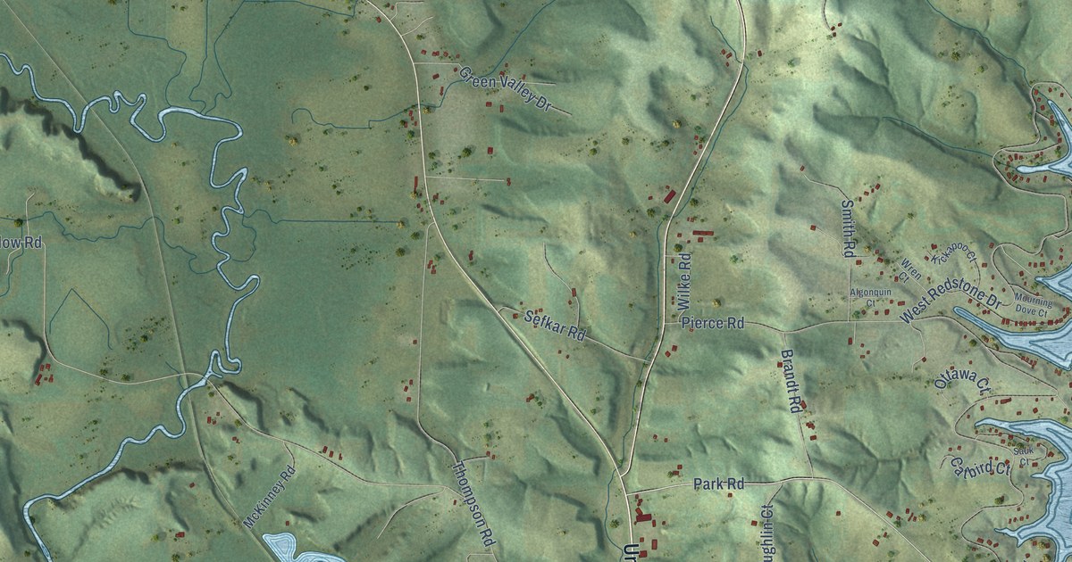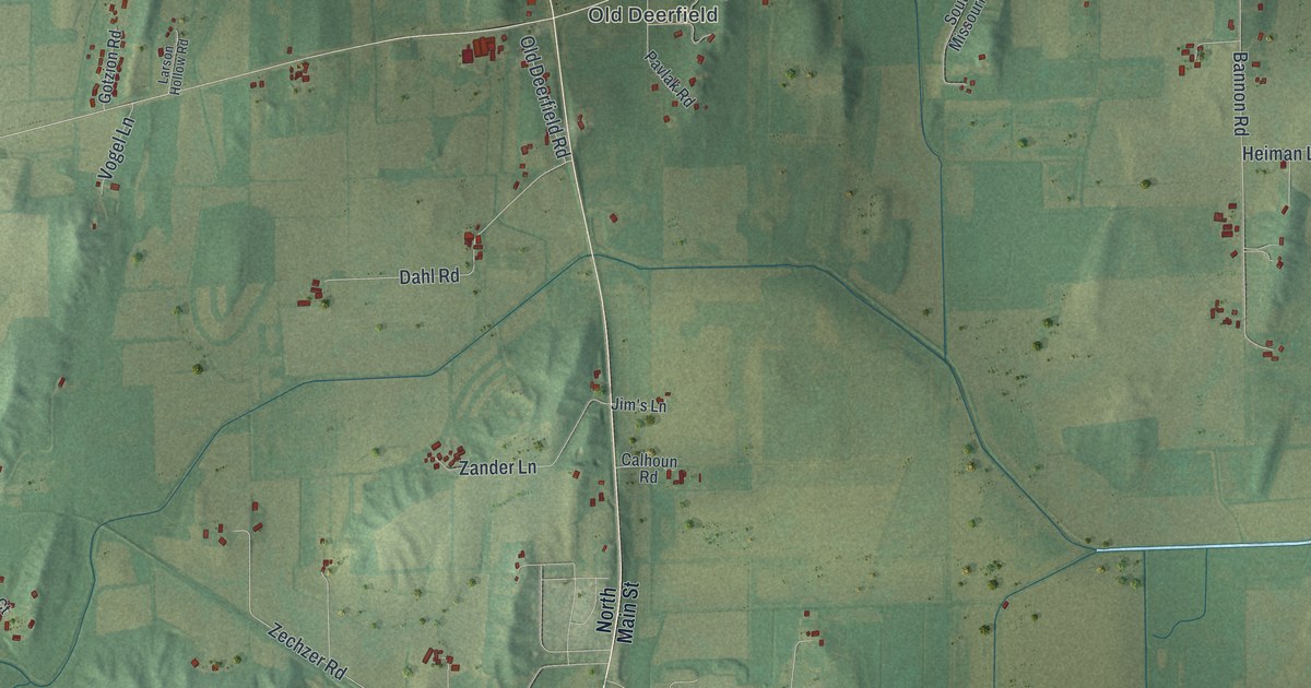
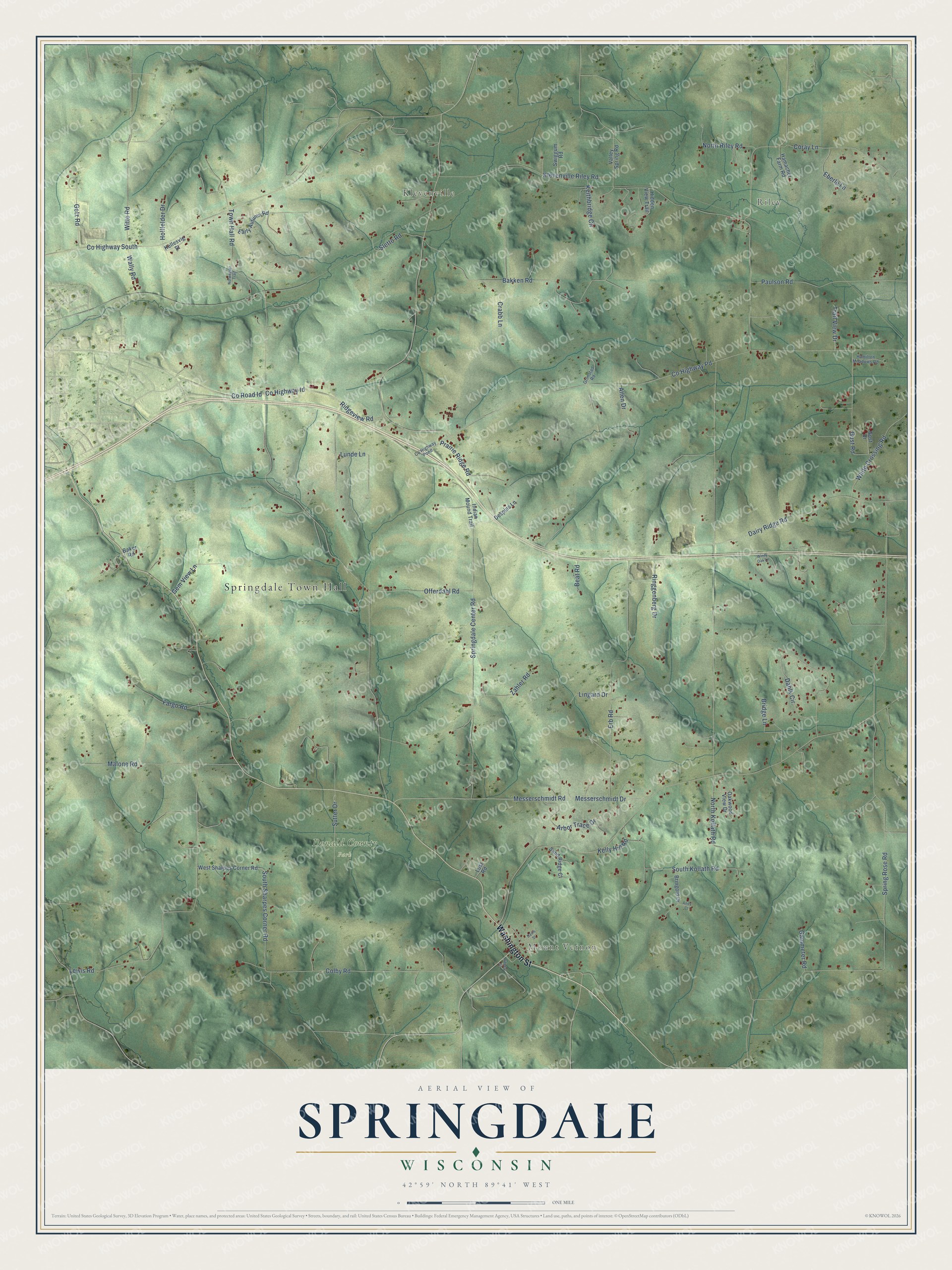
This beautifully detailed map of Springdale, Wisconsin was created in 2026 using aerial imagery combined with modern topographical, census, street and landmark data. It's a modern aerial view of Springdale in Dane County, Wisconsin, that combines modern data with a vintage aesthetic. The roads feature printed names, and if you look closely you can find your exact house accurately shown in its correct location.
Explore an aerial view of Springdale, Wisconsin
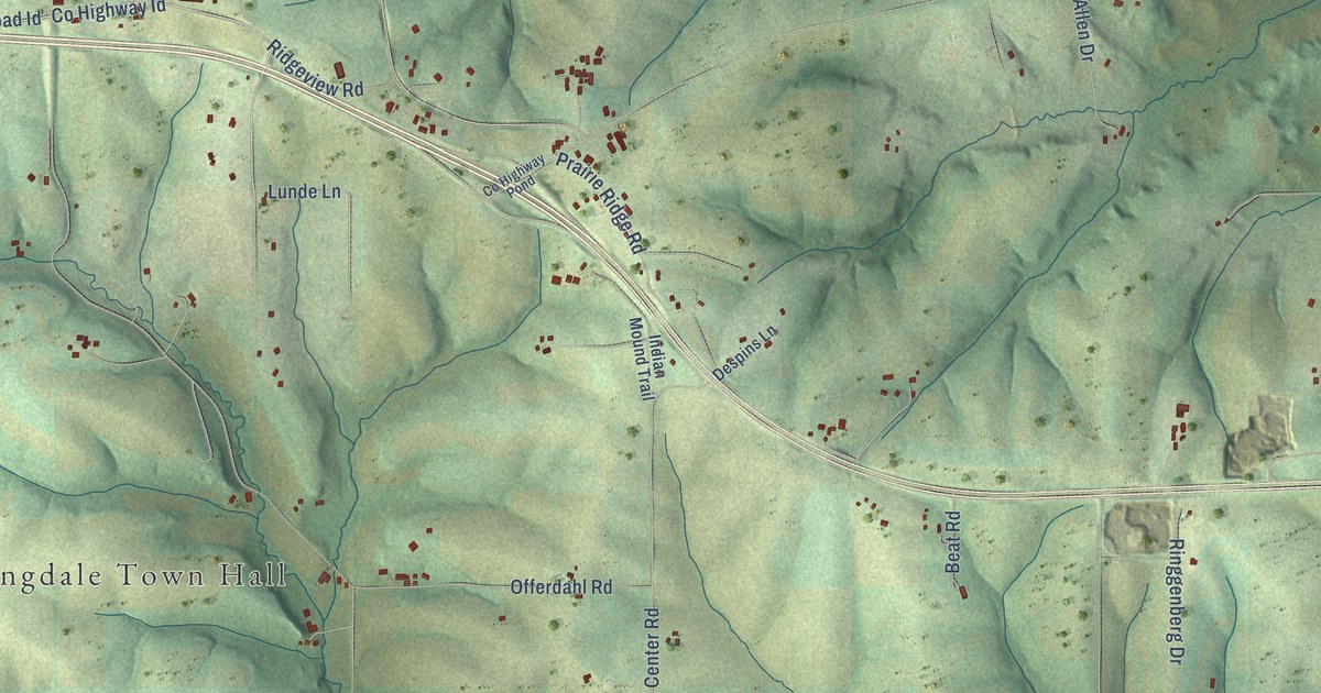
On this map you'll find Springdale Town Hall, Riley, Mount Vernon, Klevenville, Donald County Park, Washington Street, Co Highway Id, Co Road Id, Lunde Lane, Prairie Ridge Road, Town Hall Road, Spring Rose Road, and more. Each red shape is a building, so zoom in on the preview and look for yours.
Springdale has a story worth telling. The History of Dane County puts it this way: "The territory constituting the town of Springdale includes Township 6 north, of Range 7 east, of the United States survey. The first settler in the town was John Harlow, who came here in 1844, and built the first house in the town."
Springdale is a town in Dane County. The Census Bureau counted 2,056 people here in 2020.
Take a closer look at the Springdale map
Names on this map
These names are printed on this map.
Places: Springdale Town Hall, Riley, Mount Vernon, Klevenville and Donald County Park.
Streets and roads: Washington Street, County Highway Id, County Road Id, Lunde Lane, Prairie Ridge Road, Town Hall Road, Spring Rose Road, County Highway Pd, Klevenville Riley Road, Lewis Road, County Highway South, Springdale Center Road.
More street names, A to Z
Allen Drive, Andy Court, Arbor Trace Drive, Baker Road, Bakken Road, Beat Road, Bridge Lane, Bringold Drive, Colby Road, Coray Lane, County Highway Pond, Crabb Lane, Dahlk Circle, Dairy Ridge Road, Davis Street, Despins Lane, Early Autumn Road, Eberle Lane, Erb Road, Fargo Road, Gammeter Road, Gem View Lane, Getz Road, Gost Drive, Grimstad Road, Gust Road, Hamacher Farm Road, Hamilton Meadows Road, Hidden View Trail, Hollfelder Drive, Indian Mound Trail, Keithbridge Circle, Kellesvig Street, Kelly Hill Road, Liberty Street, Lingard Drive, Lust Road, Malone Road, Messerschmidt Drive, Messerschmidt Road, North Kollath Road, North Riley Road, Norwegian Trail, Oakwood View Drive, Offerdahl Road, Paulson Road, Ridgeview Road, Ringgenberg Drive, Sand Ridge Court, Sletto Road, South Kollath Road, South Sharpes Corner Road, Sutter Drive, Swiggum Road, Trail View Drive, Valley Spring Road, Wally Road, West Sharpes Corner Road, White Crossing Road, Windy Oak Lane, Witte Road, Zahler Road.
Created by KNOWOL in 2026. The buildings are small red shapes, the roads carry their printed names, and shaded relief shows the shape of the land. The title panel reads "AERIAL VIEW OF SPRINGDALE, WISCONSIN" with 42°59' NORTH 89°41' WEST.
It looks right in a kitchen, an office or a den, and it's a gift for anyone who grew up in Springdale or moved away. Open the preview and find your street. See sizes and frames for the Springdale map.