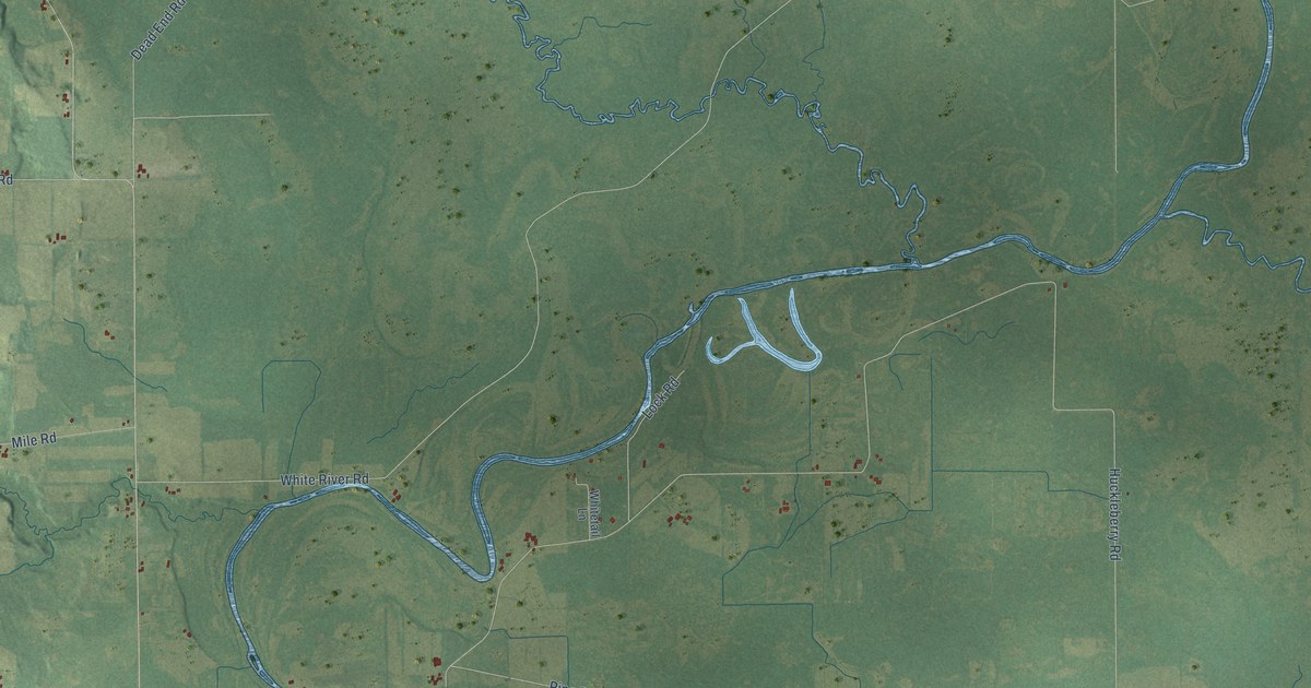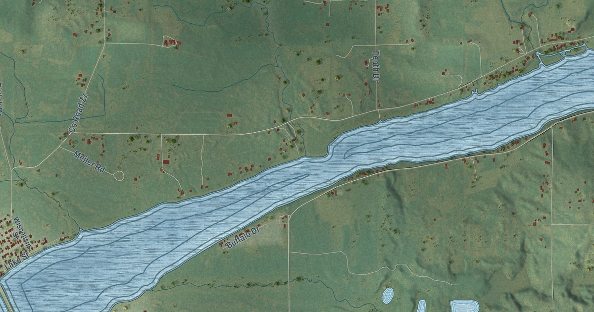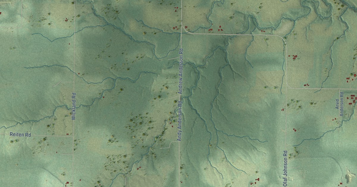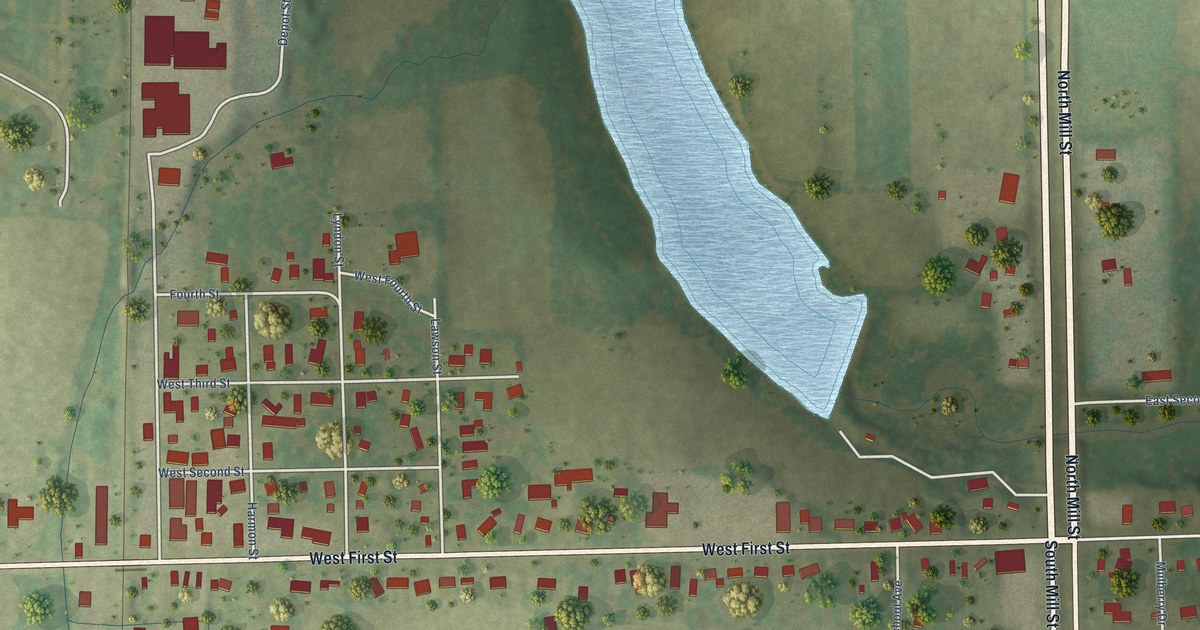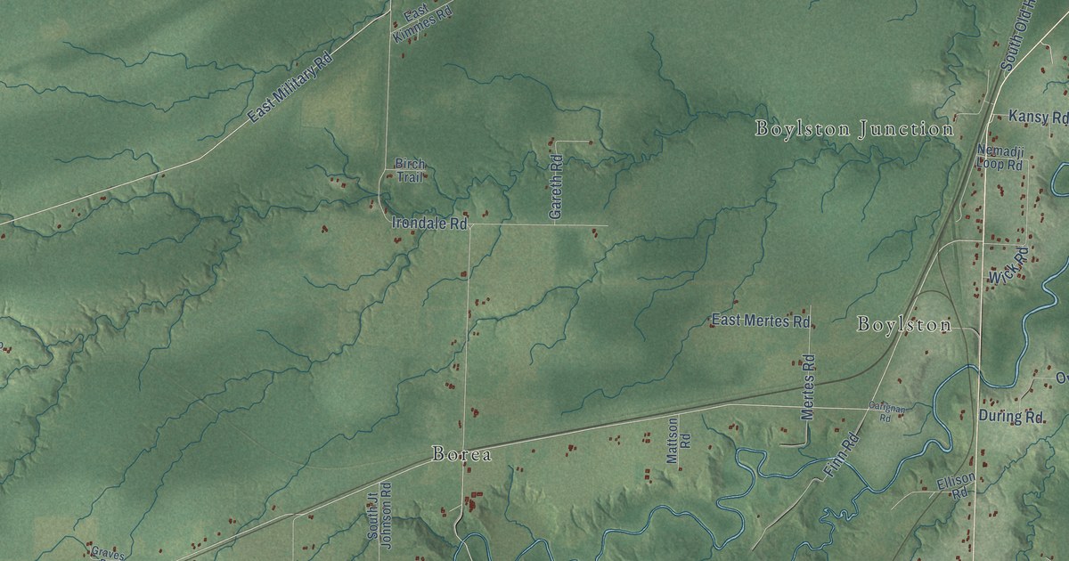
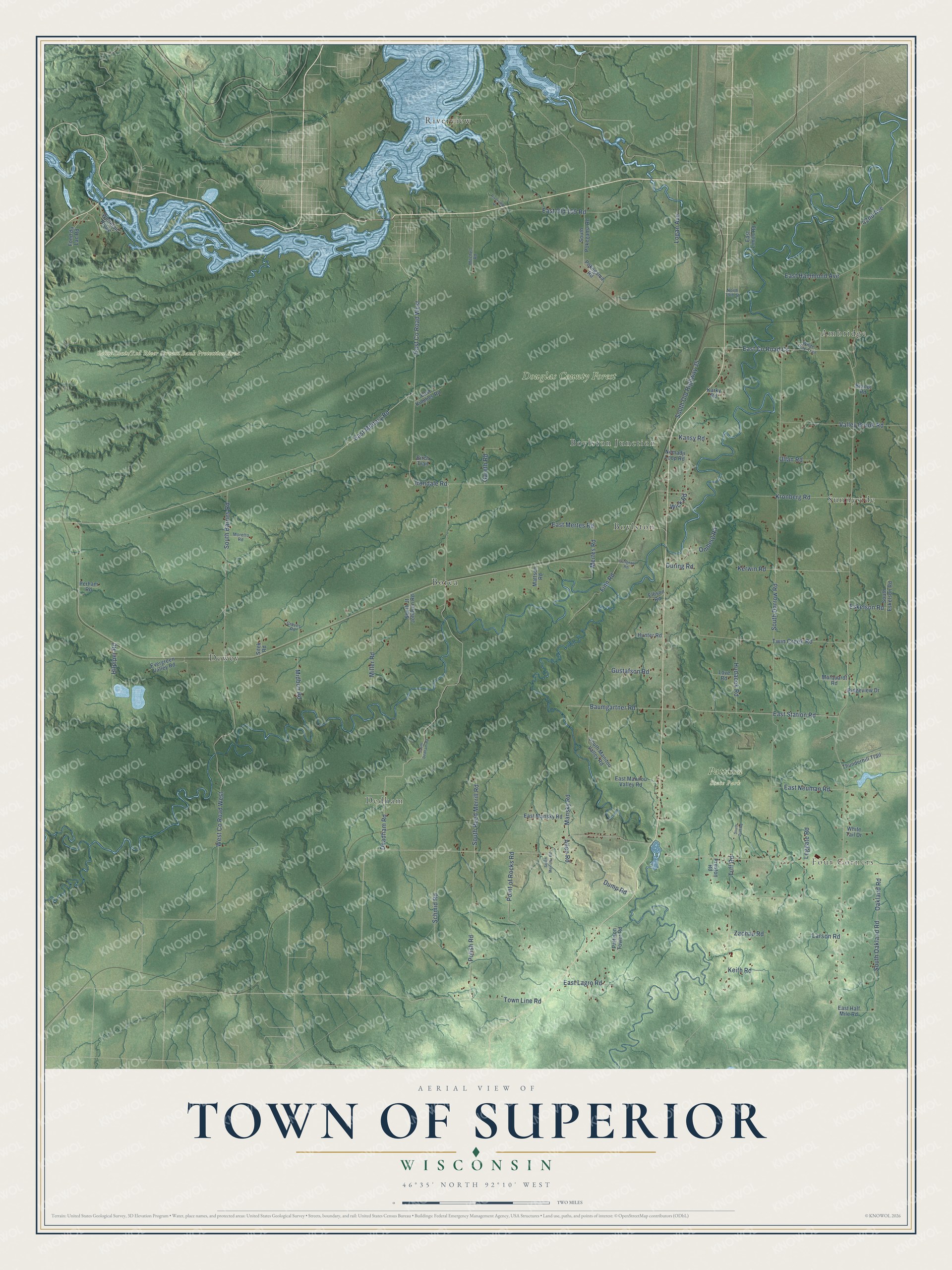
This beautifully detailed map of Superior, Wisconsin was created in 2026 using aerial imagery combined with modern topographical, census, street and landmark data. It's a modern aerial view of Superior in Douglas County, Wisconsin, that combines modern data with a vintage aesthetic. The roads feature printed names, and if you look closely you can find your exact house accurately shown in its correct location.
Explore an aerial view of Superior, Wisconsin
On this map you'll find Four Corners, Douglas County Forest, Pattison State Park, Saint Louis/Red River Stream Bank Protection Area, Ambridge, Borea, Boylston, Boylston Junction, Dedham, Dewey, Riverview, Sunnyside, and more. Each red shape is a building, so zoom in on the preview and look for yours.
Superior is a town in Douglas County. The Census Bureau counted 2,264 people here in 2020. The map prints the town name in its title panel, with the coordinates below it.
Take a closer look at the Superior map
Names on this map
These names are printed on this map.
Places: Four Corners, Douglas County Forest, Pattison State Park, Ambridge, Borea, Boylston, Boylston Junction, Dedham, Dewey, Riverview and Sunnyside.
Streets and roads: South Reed Merrill Road, East County Road West, South Oakland Road, 42nd Avenue, South Darrow Road, East Military Road, Deadham Road, Irondale Road, Baumgartner Road, East Station Road, West County Road West, Tuff Road.
More street names, A to Z
Allen Road, Birch Trail, Brandt Road, Carignan Road, Dump Road, During Road, East County Road Cs, East Half Mile Road, East Hammond Avenue, East Kimmes Road, East Lagro Road, East Limits Road, East Manitou Valley Road, East Mansky Road, East Mertes Road, East Neuman Road, East Old 105 Road, Ellison Road, Eskelson Road, Evergreen Valley Road, Finn Road, Fond du Lac Road, Gareth Road, Graves Road, Gustafson Road, Hilpiper Road, Hudacek Road, Hunter Road, Kansy Road, Karky Road, Keith Road, Kerwin Road, Kronberg Road, Larson Road, Leggate Road, Logan Avenue, Love Road, Mansky Road, Marquardt Road, Mattson Road, Mertes Road, Midbon Road, Miller Road, Mitchell Road, Moretto Road, Nemadji Loop Road, North 79th Street, Oakland Road, Omberg Road, Pattison Tower Road, Perham Road, Point of Rocks Road, Pokegama Road, Polish Road, Preston Road, Ridgeview Drive, Riverview Drive, Schmid Road, Sitek Road, South Barnes Road, South Dedham Road, South Eskelson Road, South Jt Johnson Road, South Manitou Valley Road, South Meirotto Road, South Old Highway 35, South Pokegama Road, South Tuff Road, Thunderhill Trail, Town Line Road, Twin Creek Road, Ullan Road, Valley Brook Road, White Pine Trail, White Tail Drive, Whitetail Ridge, Wick Road, Zachau Road.
Created by KNOWOL in 2026. The buildings are small red shapes, the roads carry their printed names, and shaded relief shows the shape of the land. The title panel reads "AERIAL VIEW OF TOWN OF SUPERIOR, WISCONSIN" with 46°35' NORTH 92°10' WEST.
It looks right in a kitchen, an office or a den, and it's a gift for anyone who grew up in Superior or moved away. Open the preview and find your street. See sizes and frames for the Town of Superior map.