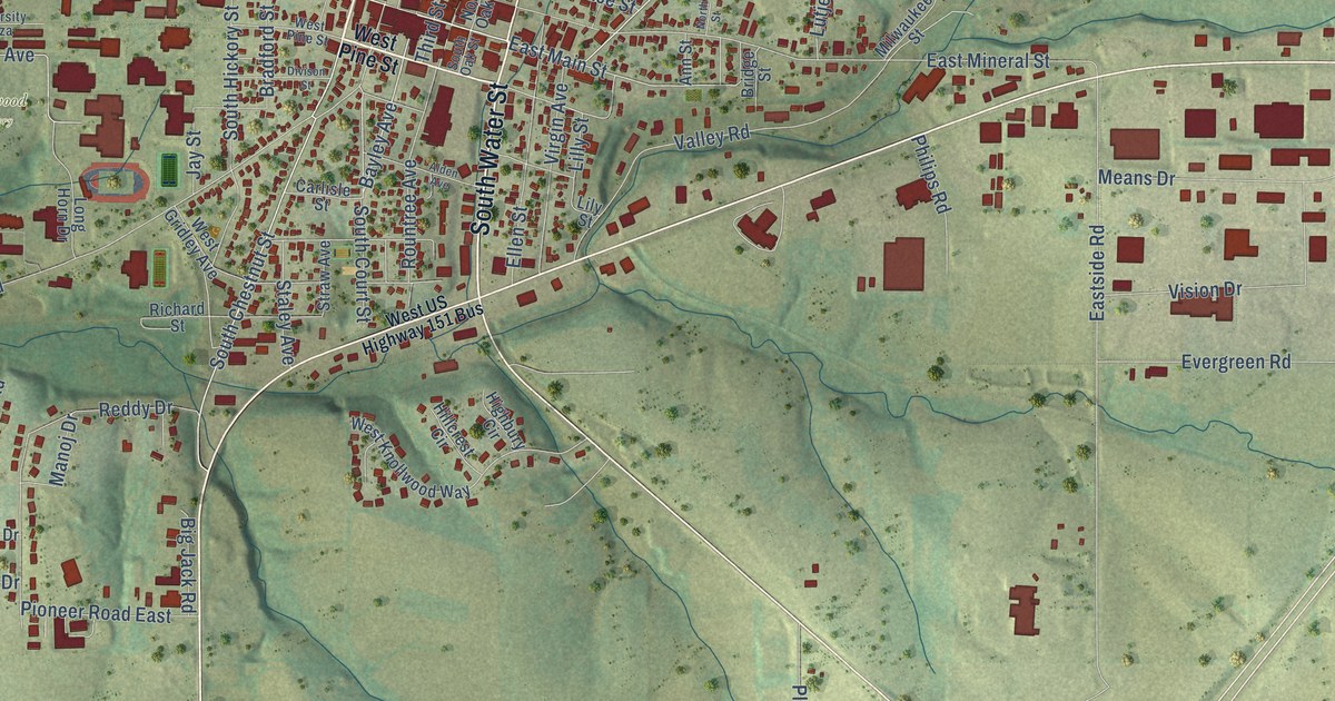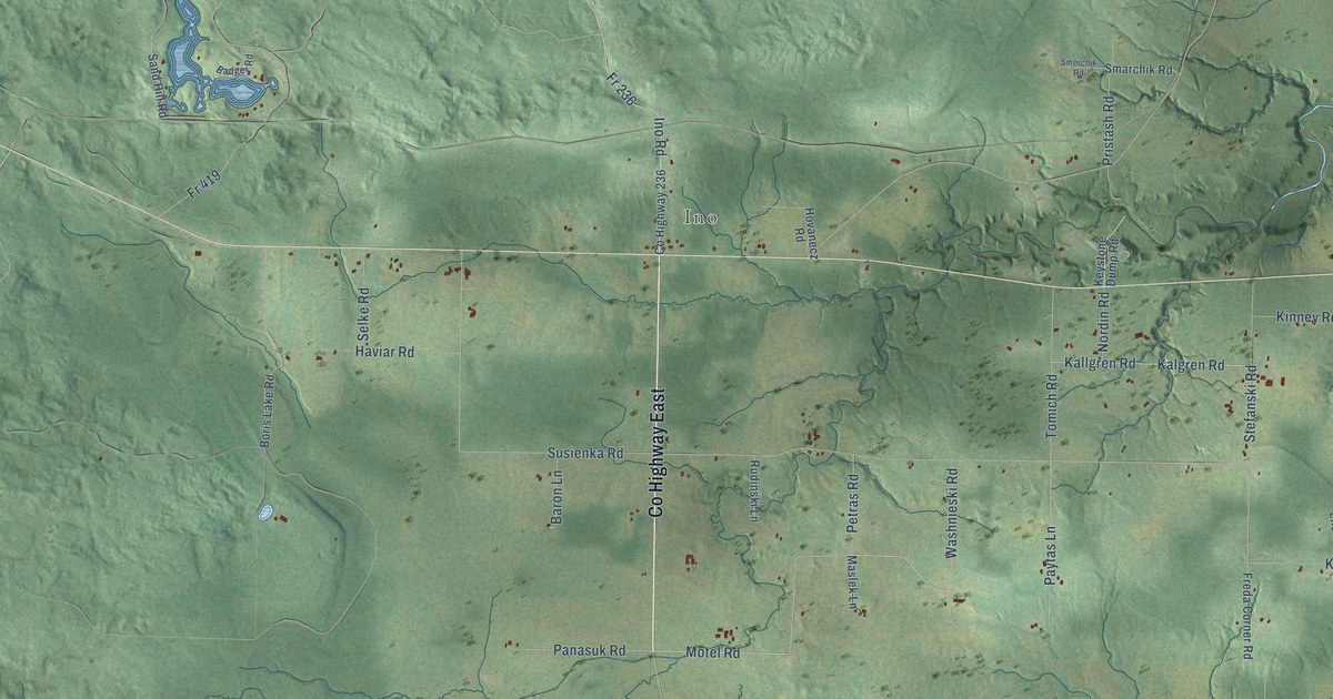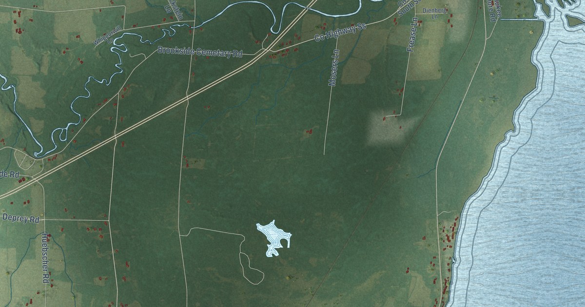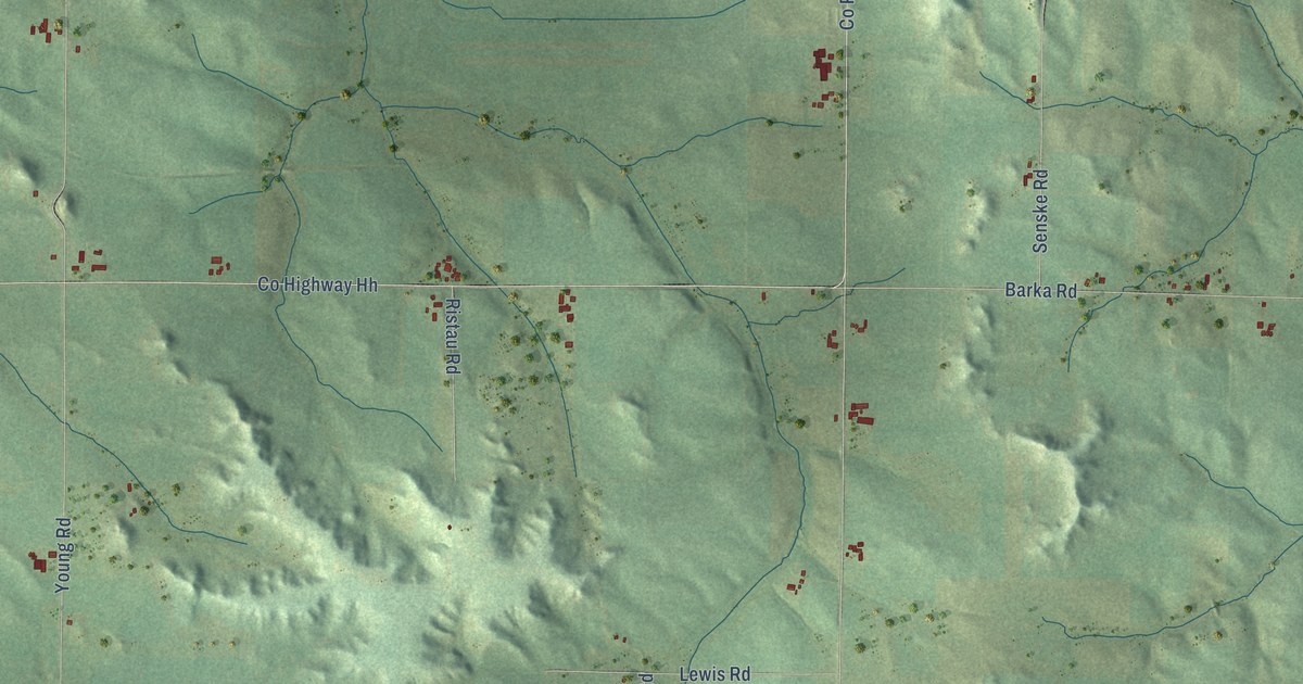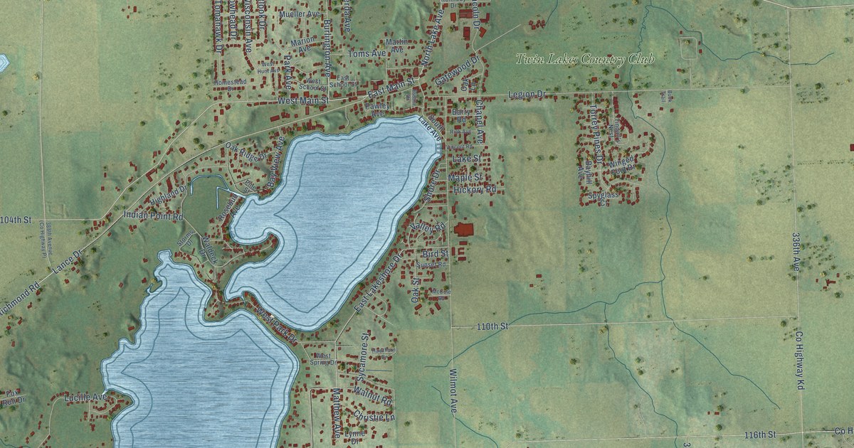
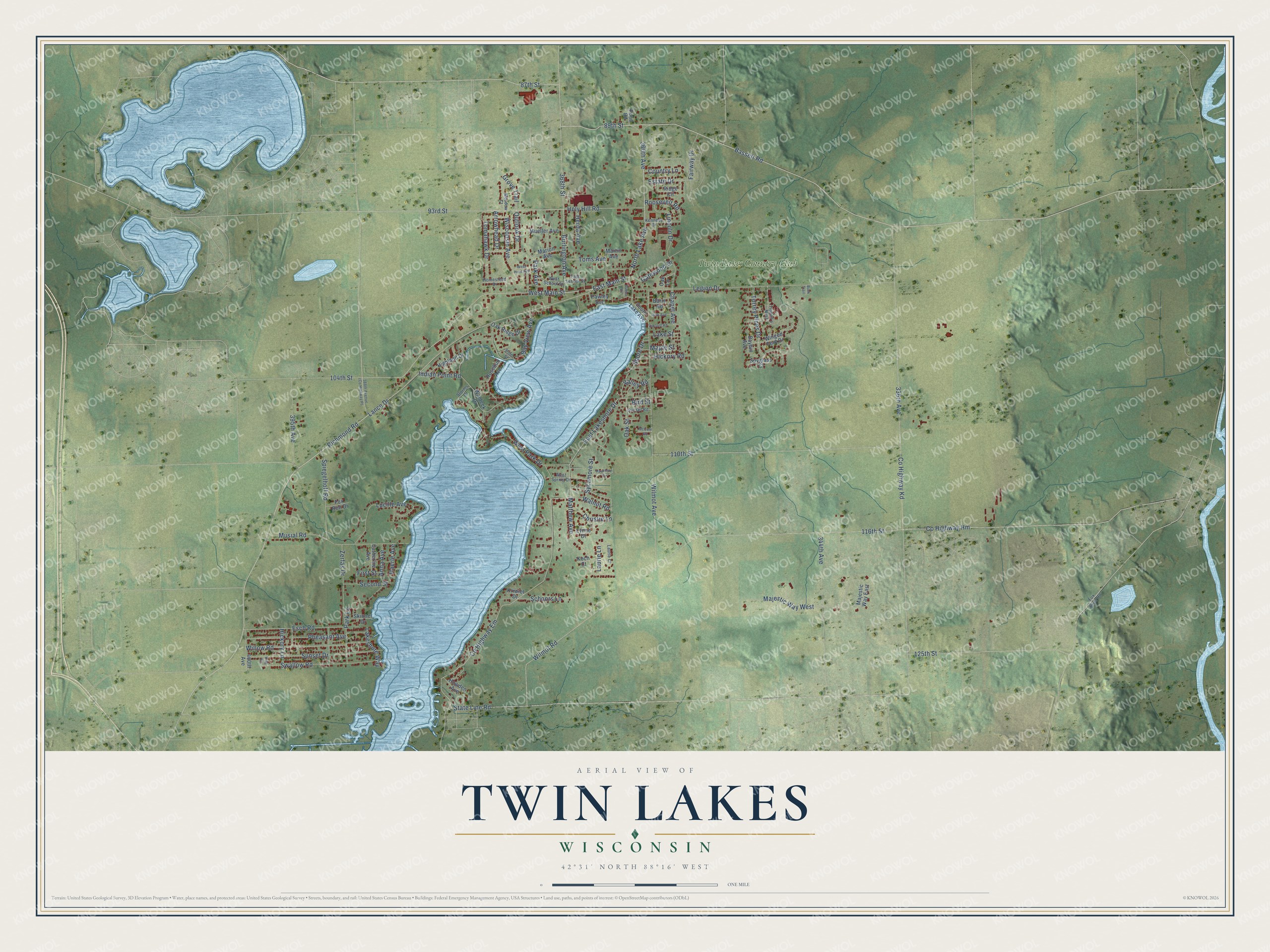
This beautifully detailed map of Twin Lakes, Wisconsin was created in 2026 using aerial imagery combined with modern topographical, census, street and landmark data. It's a modern aerial view of Twin Lakes in Kenosha County, Wisconsin, that combines modern data with a vintage aesthetic. The roads feature printed names, and if you look closely you can find your exact house accurately shown in its correct location.
Explore an aerial view of Twin Lakes, Wisconsin
On this map you'll find Twin Lakes Country Club, West Main Street, 93rd Street, East Main Street, Richmond Road, Co Highway Em, North Lake Avenue, Bassett Road, 89th Street, Holy Hill Road, Outlook Drive, Wisconsin Avenue, and more. Each red shape is a building, so zoom in on the preview and look for yours.
Twin Lakes is a village in Kenosha County. The Census Bureau counted 6,309 people here in 2020. The map prints the town name in its title panel, with the coordinates below it.
Take a closer look at the Twin Lakes map
Names on this map
These names are printed on this map.
Places: Twin Lakes Country Club.
Streets and roads: West Main Street, 93rd Street, East Main Street, Richmond Road, County Highway Em, North Lake Avenue, Bassett Road, 89th Street, Holy Hill Road, Outlook Drive, Wisconsin Avenue, Wilmot Avenue.
More street names, A to Z
87th Street, 104th Street, 110th Street, 116th Street, 125th Street, 336th Avenue, 344th Avenue, 360th Avenue, 368th Street, 395th Avenue, 400th Avenue, Anna Avenue, Arrowhead Drive, Barry Road, Bayhill Avenue, Bay View Avenue, Bird Street, Buck Trail, Buena Drive, Burlington Avenue, Catherine Avenue, Chapel Avenue, Christie Lane, Country Lane, County Highway Hm, County Highway Kd, East Lakeshore Drive, East School Street, Esch Road, Estate Drive, Fairway Drive, First Street, Fox River Road, Fox Run Drive, Gatewood Drive, Grove Trail, Haerle Avenue, Hawthorn Drive, Herda Avenue, Hickory Lane, Hickory Road, Highland Drive, Homestead Drive, Howden Avenue, Indian Point Road, Kennedy Drive, King Circle, Koch Court, Kriwiel Drive, Lakeshore Way, Lake Street, Lance Drive, Laurie Court, Laurie Lane, Legion Drive, Lincoln Drive, Lucille Avenue, Lynne Drive, Majestic Way East, Majestic Way West, Maple Street, Marion Avenue, Martin Avenue, Matthew Avenue, McCole Road, Meadow Court, Mueller Avenue, Musial Road, Oak Lane, Oak Ridge Drive, Oak Street, Park Avenue, Park Lane, Pawley Avenue, Pheasant Avenue, Pine Street, Pond Road, Ridge Circle, Rink Avenue, Roosevelt Road, Rosebud Avenue, Schoors Lane, Second Street, Shore Drive, Skinner Drive, South Lake Avenue, Spiegelhoff Road, Spyglass Court, State Line Road, Storms Drive, Sunset Drive, Sunset Road, Swallow Road, Sycamore Street, Tindall's Nest, Tomahawk Drive, Toms Avenue, Torrey Pines Drive, Valley Road, Vincent Road, Waldeck Drive, Walnut Road, West Hunt Avenue, West Park Drive, West School Street, West Spring Drive, Willow Road, Wilmot Road, Winged Foot Drive, Zerfas Drive.
Created by KNOWOL in 2026. The buildings are small red shapes, the roads carry their printed names, and shaded relief shows the shape of the land. The title panel reads "AERIAL VIEW OF TWIN LAKES, WISCONSIN" with 42°31' NORTH 88°16' WEST.
It suits a den, a classroom or a front hall, and it makes a gift for anyone with Twin Lakes roots. Open the preview and find the block you know. See sizes and frames for the Twin Lakes map.