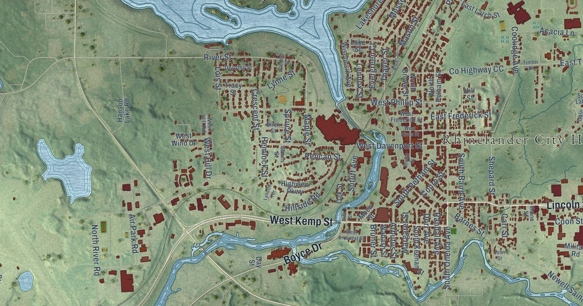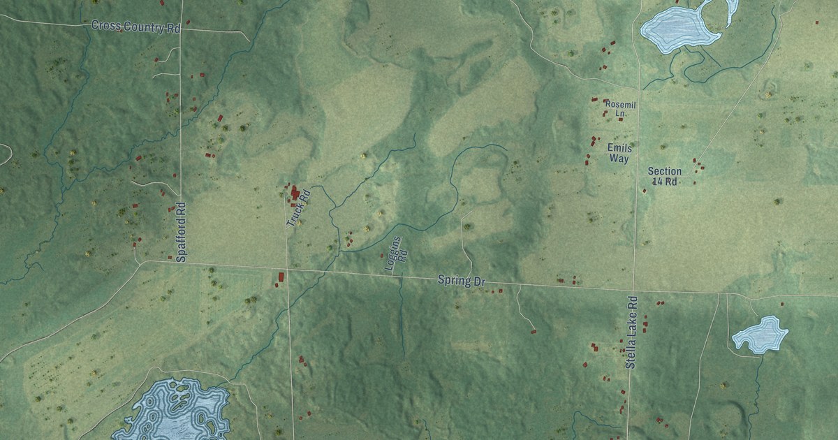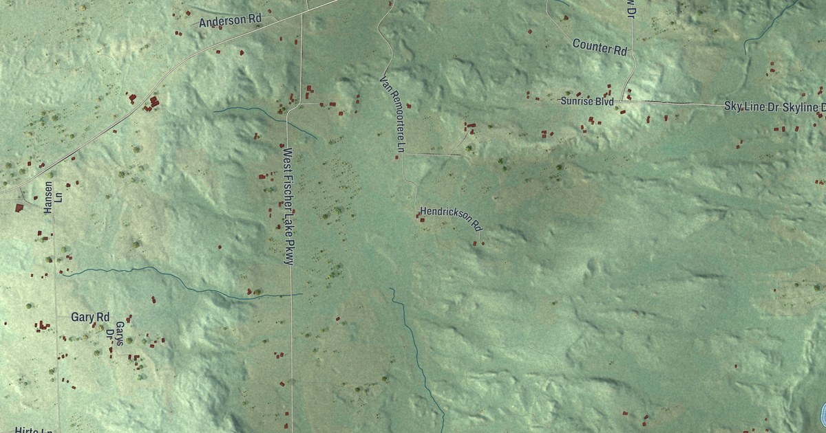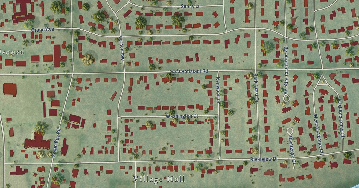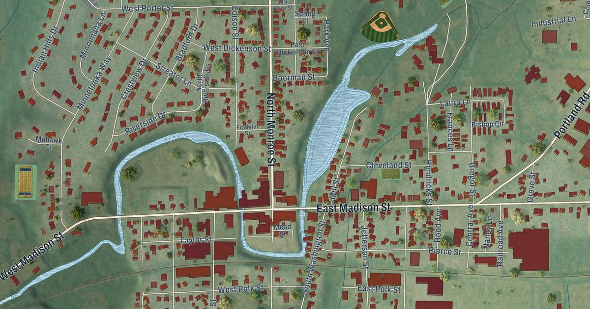
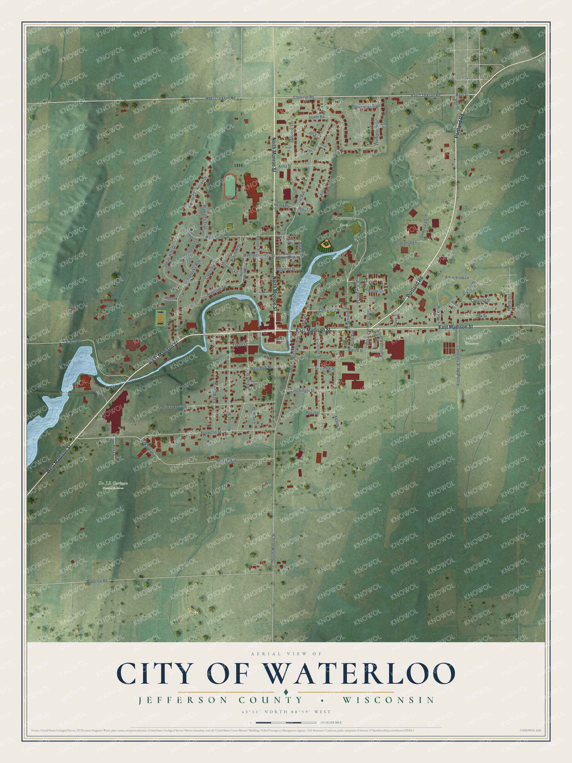
This beautifully detailed map of Waterloo, Wisconsin was created in 2026 using aerial imagery combined with modern topographical, census, street and landmark data. It's a modern aerial view of Waterloo in Jefferson County, Wisconsin, that combines modern data with a vintage aesthetic. The roads feature printed names, and if you look closely you can find your exact house accurately shown in its correct location.
Explore an aerial view of Waterloo, Wisconsin
On this map you'll find Firemen's Park, Oak Hill Cemetery, Portland, North Monroe Street, West Madison Street, Portland Road, East Madison Street, East Clarkson Road, Main Street, Clarkson Road, West Clarkson Road, Hiawatha Trail, and more. Each red shape is a building, so zoom in on the preview and look for yours.
Waterloo has a story worth telling. The History of Jefferson County puts it this way: "In 1847, F. Giles, A. Vail and William Rood commenced building a mill-dam on Waterloo Creek, half a mile west of the village. Before the work was completed, M. P. Caldwell purchased the site, and, in 1848, built a grist-mill."
Waterloo is a city in Jefferson County. The Census Bureau counted 3,492 people here in 2020.
Take a closer look at the Waterloo map
Names on this map
These names are printed on this map.
Places: Dr. J.S. Garman Nature Preserve, Firemen's Park, Oak Hill Cemetery and Portland.
Streets and roads: North Monroe Street, West Madison Street, Portland Road, East Madison Street, East Clarkson Road, Main Street, Clarkson Road, West Clarkson Road, Hiawatha Trail, South Monroe Street, West Porter Street, Laura Lane.
More street names, A to Z
Adams Street, Anna Court, Anna Street, Arbor Vitae Lane, Beech Street, Birch Street, Bishop Circle, Bluegrass Trail, Boorman Street, Bradford Drive, Canal Road, Cemetery Street, Central Avenue, Chestnut Street, Cleveland Street, Commerial Avenue, Crestview Drive, Derby Drive, East Dickenson Street, East Polk Street, East Porter Street, Edison Street, Fischer Road, Fox Lane, Fox Street, Frances Lane, Franklin Street, Goehl Road, Gregor Street, Grove Street, Harrison Street, Heil Street, Hendricks Street, Henry Court, Henry Street, Herron Court, Herron Drive, Hickory Lane, Indian Hills Drive, Industrial Lane, Jackson Street, Jason Drive, Jaystone Terrace, Jefferson Street, Jill's Court, Knowlton Street, Leschinger Street, Lexington Way, Lincoln Street, Lum Avenue, Maple Drive, McKay Way, McKayway, Mead Street, Mill Street, Milwaukee Avenue, Minnehaha Lane, Minnetonka Way, Mohawk Court, Nancy Lane, North Riverside Drive, Oak Street, Palmer Street, Park Avenue, Pearl Street, Peschel, Pierce Street, Railroad Avenue, Riverside Drive, Rood Avenue, South Washington Street, Spring Street, Squire Street, Streator Lane, Sunrise Court, Taylor Street, Van Buren Street, Waterloo Road, West Dickenson Street, West Indian Hills Drive, West Polk Street.
Created by KNOWOL in 2026. The buildings are small red shapes, the roads carry their printed names, and shaded relief shows the shape of the land. The title panel reads "AERIAL VIEW OF CITY OF WATERLOO, JEFFERSON COUNTY • WISCONSIN" with 43°11' NORTH 88°59' WEST.
It looks right in a kitchen, an office or a den, and it's a gift for anyone who grew up in Waterloo or moved away. Open the preview and find your street. See sizes and frames for the Waterloo map.