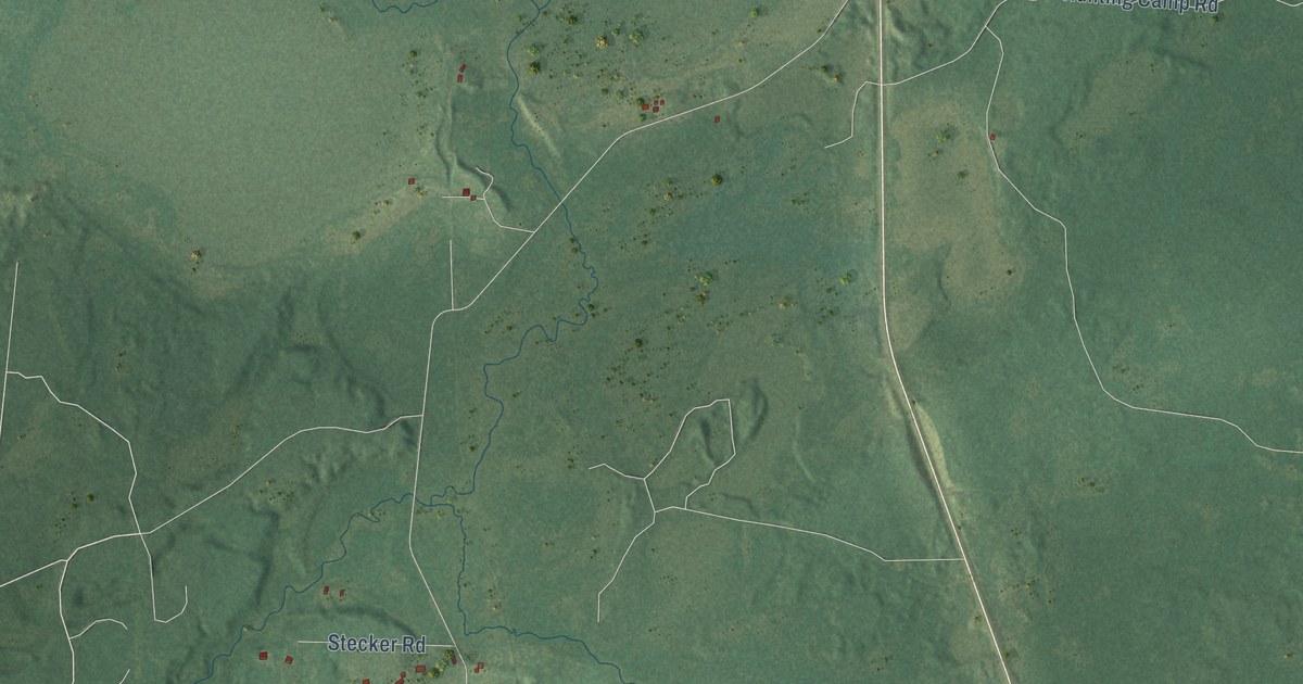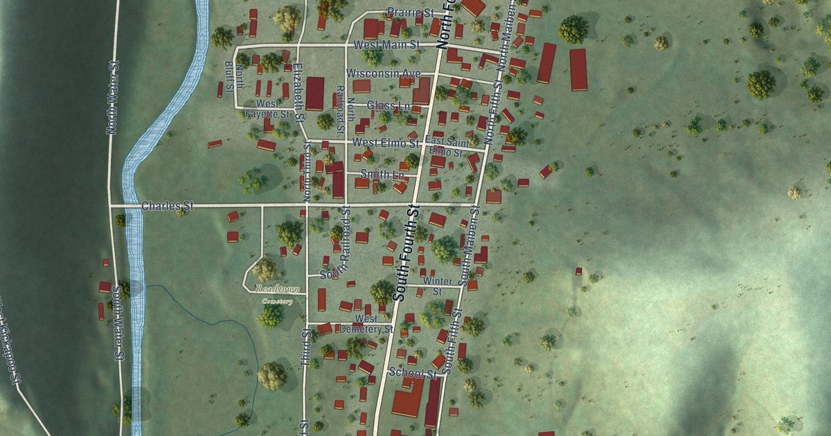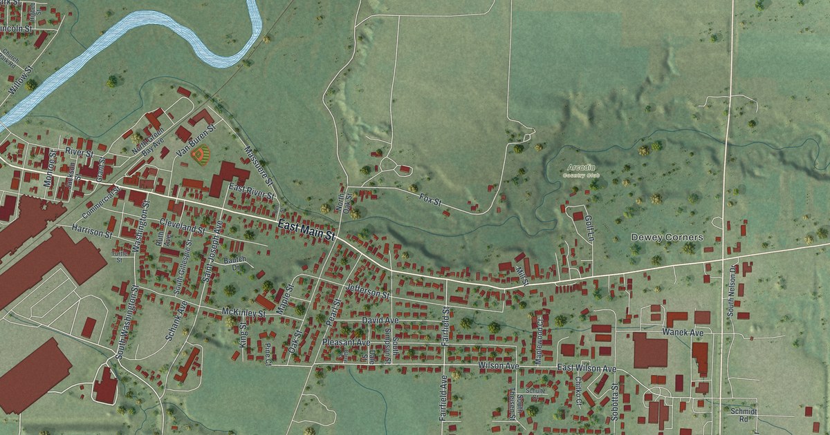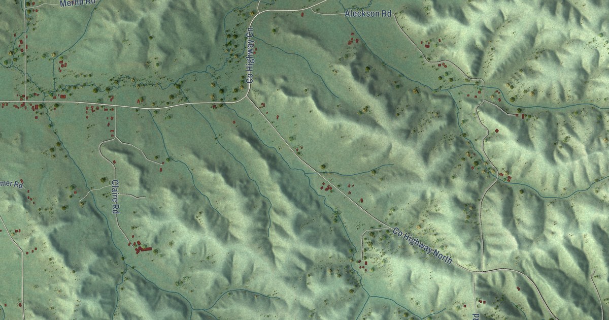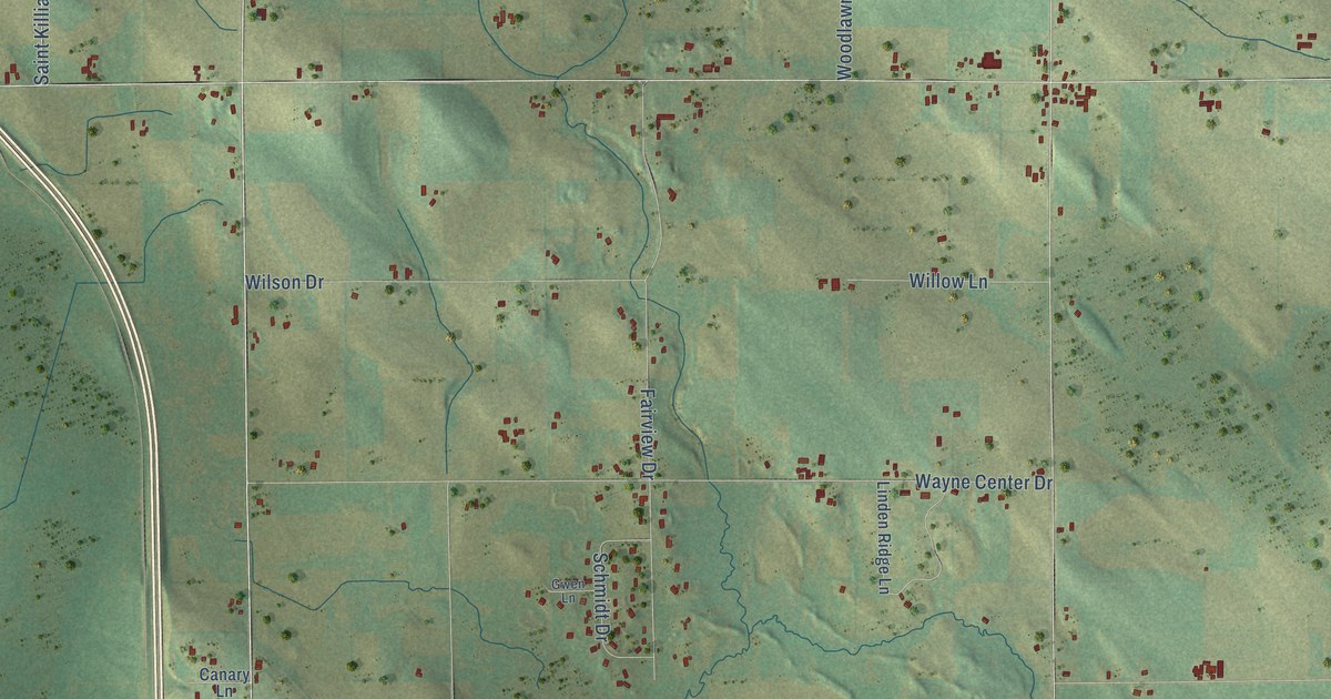
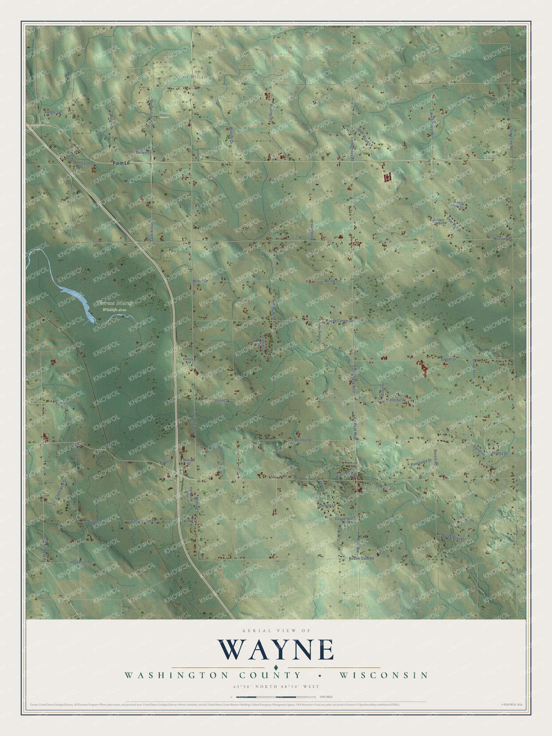
This beautifully detailed map of Wayne, Wisconsin was created in 2026 using aerial imagery combined with modern topographical, census, street and landmark data. It's a modern aerial view of Wayne in Washington County, Wisconsin, that combines modern data with a vintage aesthetic. The roads feature printed names, and if you look closely you can find your exact house accurately shown in its correct location.
Explore an aerial view of Wayne, Wisconsin
On this map you'll find Saint Kilian, Kohlsville, Theresa Marsh Wildlife Area, Wendt Preserve, Farm Lane, Court Hyw West, Co Highway West, Co Road West, Midland Drive, West Bend Road, Co Road Ww, Co Highway Bb, and more. Each red shape is a building, so zoom in on the preview and look for yours.
Every town has a first chapter, and Wayne is no exception. The History of Washington and Ozaukee Counties puts it this way: "The town was incorporated by act of the Legislature, January 21, 1846, under the name of Wayne. Benton was the name selected by the inhabitants, but, as there was already a town of that name in the State, Wright, in honor of Hon. Silas Wright, was substituted."
Wayne is a town in Washington County. The Census Bureau counted 2,182 people here in 2020.
Take a closer look at the Wayne map
Names on this map
These names are printed on this map.
Places: Saint Kilian, Kohlsville, Theresa Marsh Wildlife Area and Wendt Preserve.
Streets and roads: Farm Lane, Court Hyw West, County Highway West, County Road West, Midland Drive, West Bend Road, County Road Ww, County Highway Bb, Mohawk Road, Saint Killian Drive, Town Line Road, Beechnut Drive.
More street names, A to Z
Aurora Road, Badger Lane, Beaver Dam Road, Bridge Court, Bridge Drive, Broadview Lane, Brookhaven Drive, Butternut Court, Butternut Drive, Canary Lane, Chapel Hill Drive, Commercial Lane, Country View Lane, Deer Run Drive, Deer Wood Lane, Eagle View Drive, Fairview Drive, Garret Drive, Grandview Trail, Gwen Lane, Hillcrest Court, Hochheim Road, Hunters Lane, Island Drive, Joshua Drive, Lake Bernice Drive, Linden Ridge Lane, Main Street, Midland Court, Mill Street, Mullen Drive, Mullen Lane, Nenno Road, Nickel Court, Pamperin Way, Panorama Drive, Pond View Lane, Rolling Drive, Saint Killian Heights, Schmidt Drive, Skyline Drive, Steeple Lane, Sunset Drive, Wayne Center Drive, Western Trail, Wildlife View Court, Willow Lane, Wilson Drive, Wolcott Drive, Woodlawn Drive.
Created by KNOWOL in 2026. The buildings are small red shapes, the roads carry their printed names, and shaded relief shows the shape of the land. The title panel reads "AERIAL VIEW OF WAYNE, WASHINGTON COUNTY • WISCONSIN" with 43°30' NORTH 88°20' WEST.
Hang it in the hallway, the office or the cabin, or give it to someone who left Wayne and still calls it home. Open the preview and look for a street you know. See sizes and frames for the Wayne, Washington County map.