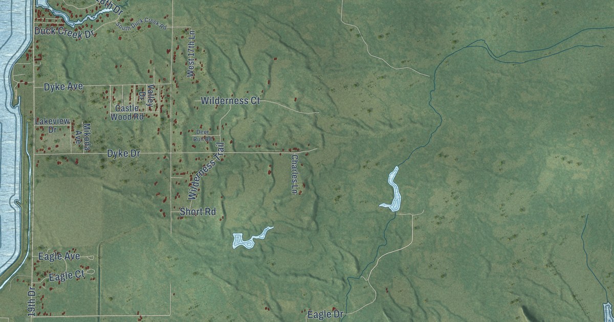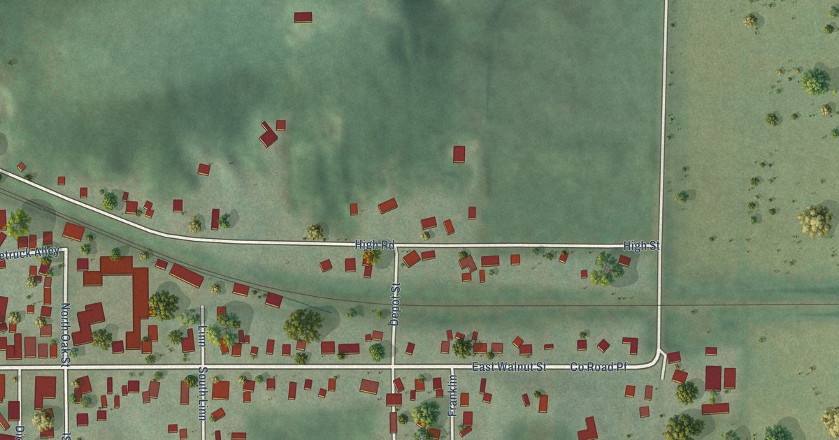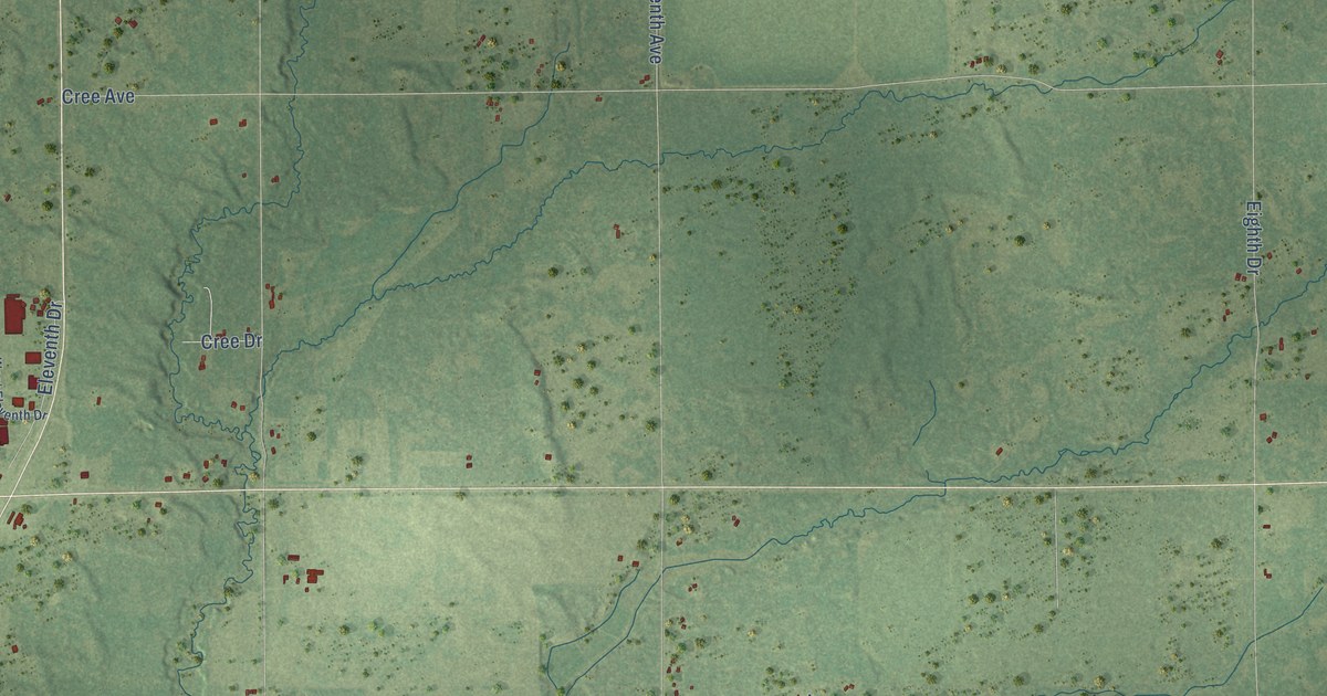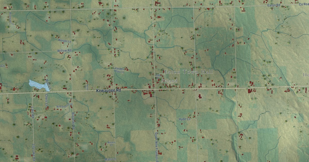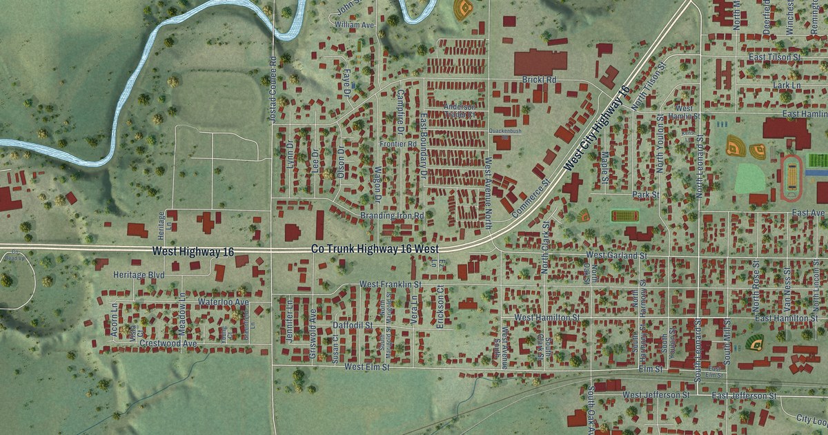
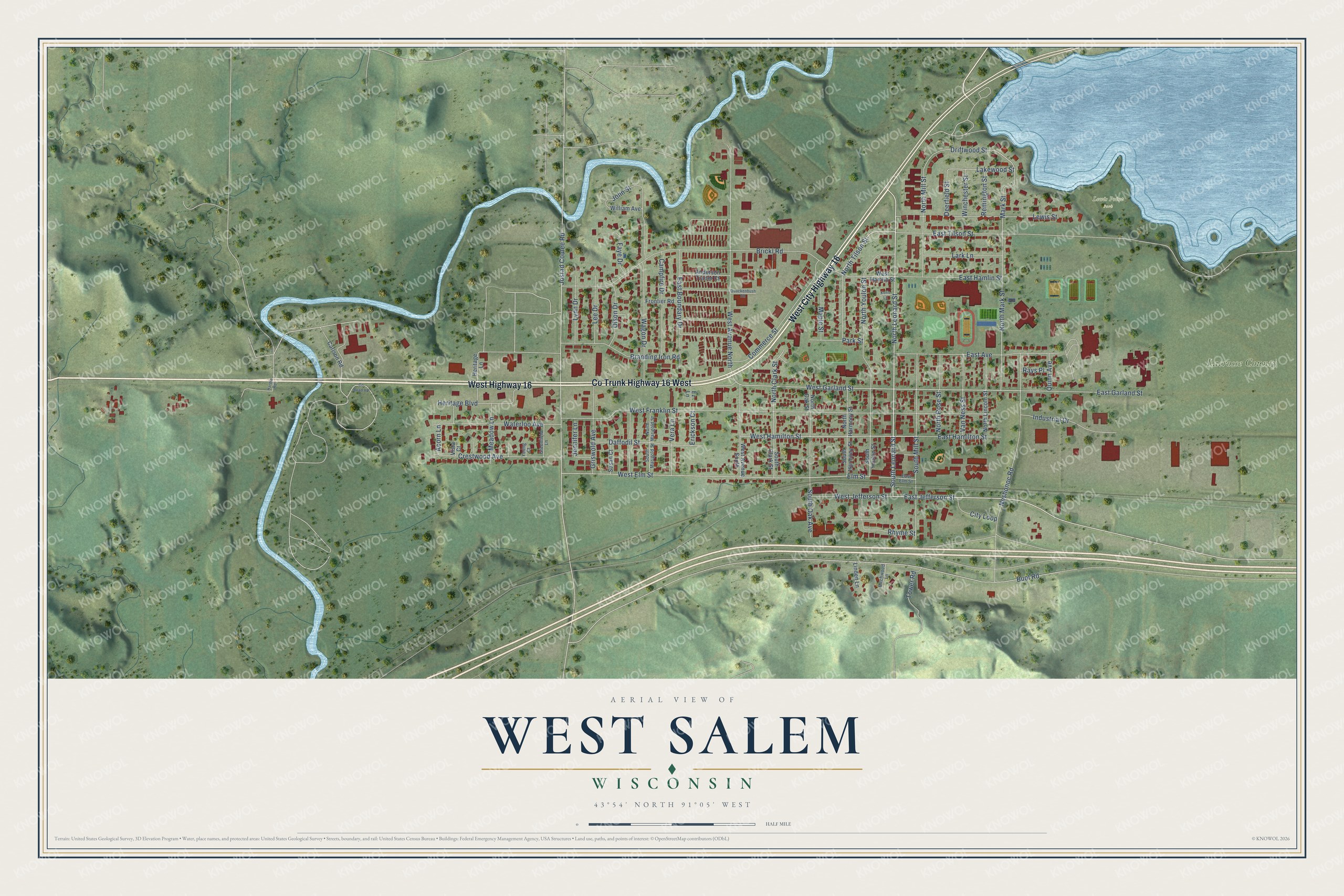
This beautifully detailed map of West Salem, Wisconsin was created in 2026 using aerial imagery combined with modern topographical, census, street and landmark data. It's a modern aerial view of West Salem in La Crosse County, Wisconsin, that combines modern data with a vintage aesthetic. The roads feature printed names, and if you look closely you can find your exact house accurately shown in its correct location.
Explore an aerial view of West Salem, Wisconsin
On this map you'll find Lacrosse County, Lewis Point Park, West Highway 16, West City Highway 16, Co Trunk Highway 16 West, North Leonard Street, South Leonard Street, North Tilson Street, East Jefferson Street, West Hamilton Street, North Mark Street, Driftwood Street, and more. Each red shape is a building, so zoom in on the preview and look for yours.
Here is a piece of West Salem history, in the words of the record. The La Crosse County History puts it this way: "The railroad company required a bonus before locating and establishing a depot at West Salem, and Mr. Leonard gave the company a deed of ten acres of land lying east and northeast of the present depot. In 1857, he, in company with M. L. Tourtellotte and Oscar F. Elwell, laid out the village of Salem (now West Salem)."
West Salem is a village in La Crosse County. The Census Bureau counted 5,277 people here in 2020.
Take a closer look at the West Salem map
Names on this map
These names are printed on this map.
Places: Lacrosse County and Lewis Point Park.
Streets and roads: West Highway 16, West City Highway 16, Co Trunk Highway 16 West, North Leonard Street, South Leonard Street, North Tilson Street, East Jefferson Street, West Hamilton Street, North Mark Street, Driftwood Street, Lakewood Street, North Clark Street.
More street names, A to Z
Acorn Lane, Anderson Trailer Court, Birchwood Lane, Branding Iron Road, Brickl Road, Buol Road, Campfire Drive, Carlson Road, City Loop, Commerce Street, County Road Vp, Crestwood Avenue, Daffodil Street, Deerfield Street, East Avenue, East Boundary Drive, East Elm Street, East Garland Street, East Hamilton Street, East Hamlin Street, East Tilson Street, Elm Street, Erickson Court, Ez Lane, Faye Drive, Frontier Road, Greenfield Lane, Griswold Avenue, Hardie Road, Heritage Boulevard, Heritage Lane, Industrial Drive, Jennifer Lane, John Street, Jostad Coulee Road, Kens Lane, Lark Lane, Lee Drive, Lewis Street, Linden Lane, Lynn Drive, Maple Street, Mark Street, Meadow Lane, Neshonoc Road, North Harmony Street, North Lincoln Street, North Marigold Street, North Mill Street, North Oak Street, North Rose Street, North Youlon Street, Olson Drive, Park Street, Quackenbush Road, Quinn Avenue, Rays Place, Remington Street, Rhyme Street, South Clark Street, South Harmony Street, South Marigold Street, South Mill Street, South Oak Avenue, South Youlon Street, Susan Court, Tower Road, Van Ness Street, Vera Lane, Vista Court, Wagon Drive, Waterloo Avenue, West Avenue North, West Avenue South, West Elm Street, West Franklin Street, West Garland Street, West Hamlin Street, West Jefferson Street, William Avenue, Winchester Street, Young Court.
Created by KNOWOL in 2026. The buildings are small red shapes, the roads carry their printed names, and shaded relief shows the shape of the land. The title panel reads "AERIAL VIEW OF WEST SALEM, WISCONSIN" with 43°54' NORTH 91°05' WEST.
It suits a den, a classroom or a front hall, and it makes a gift for anyone with West Salem roots. Open the preview and find the block you know. See sizes and frames for the West Salem map.