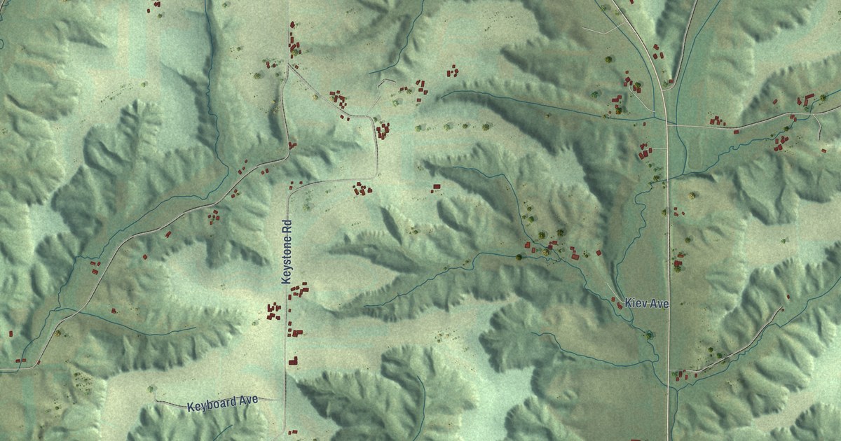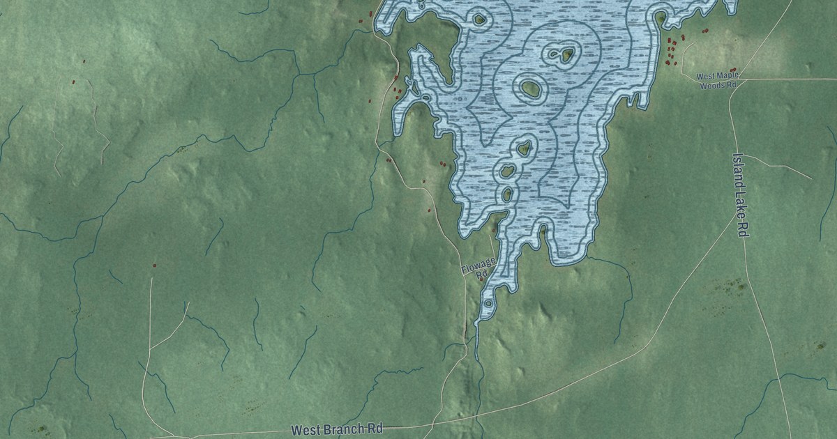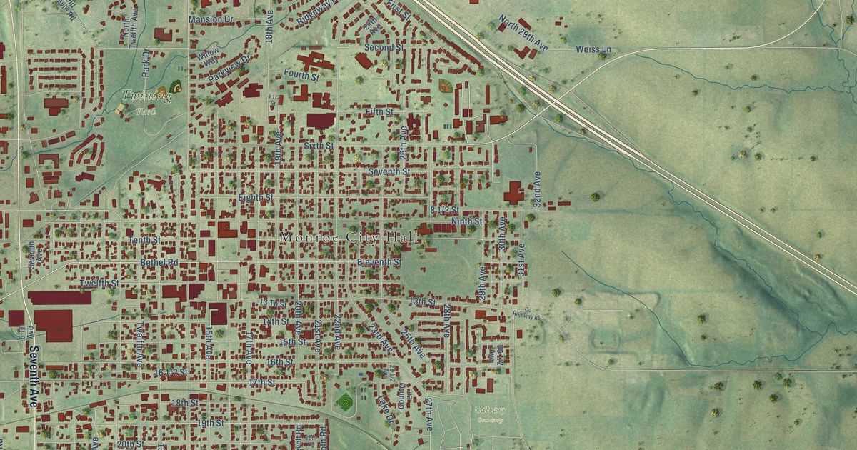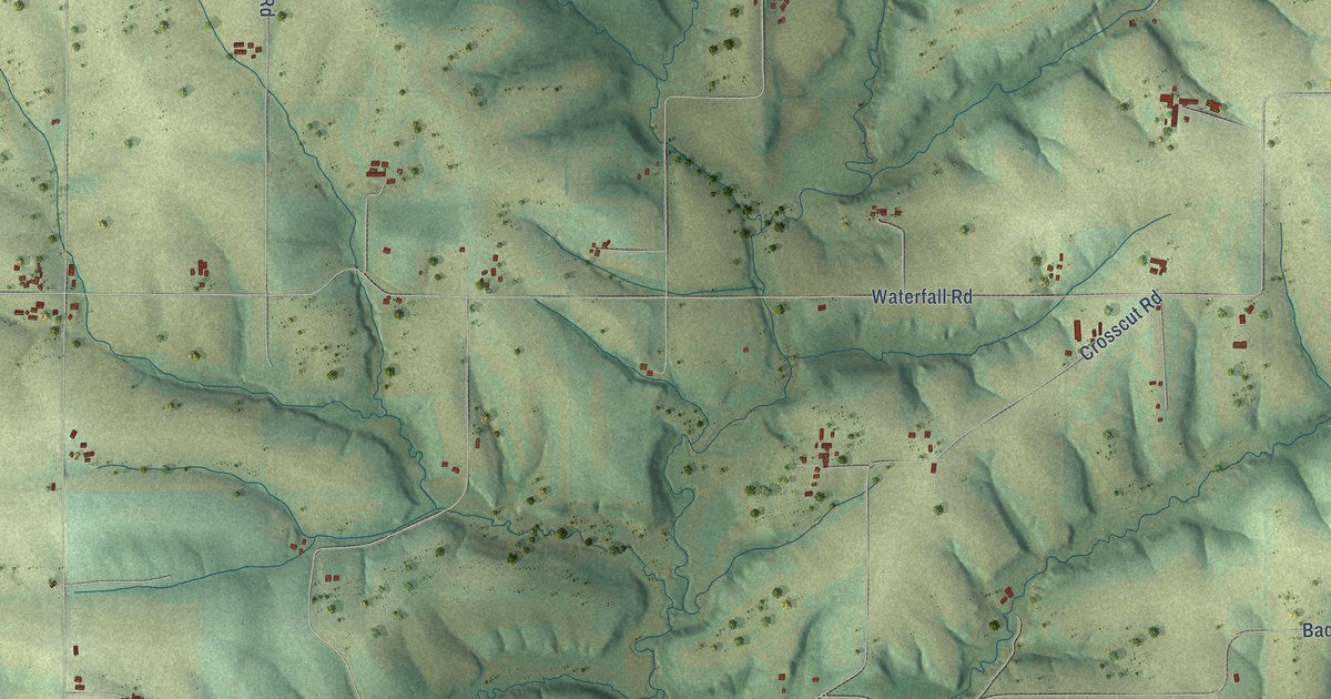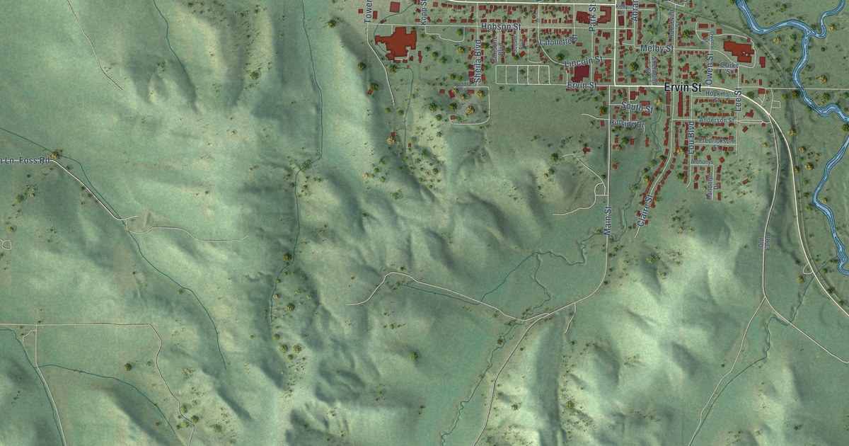
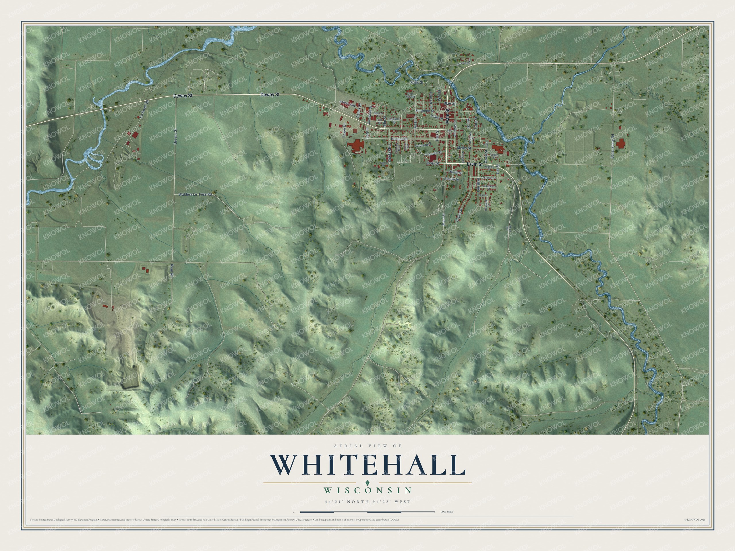
This beautifully detailed map of Whitehall, Wisconsin was created in 2026 using aerial imagery combined with modern topographical, census, street and landmark data. It's a modern aerial view of Whitehall in Trempealeau County, Wisconsin, that combines modern data with a vintage aesthetic. The roads feature printed names, and if you look closely you can find your exact house accurately shown in its correct location.
Explore an aerial view of Whitehall, Wisconsin
On this map you'll find Ervin Street, Dewey Street, Main Street, Schansberg Road, Waldera Lane, Greene Street, Hobson Street, Sheila Boulevard, Claire Street, Co Road Qq, Scranton Street, Earle Street, and more. Each red shape is a building, so zoom in on the preview and look for yours.
Whitehall has a story worth telling. The History of Trempealeau County puts it this way: "Whitehall was probably named by Benjamin F. Wing, who platted Old Whitehall. Probably it was named from Whitehall in New York, though it may have been named from a hall painted white."
Whitehall is a city in Trempealeau County. The Census Bureau counted 1,645 people here in 2020.
Take a closer look at the Whitehall map
Names on this map
These names are printed on this map.
Streets and roads: Ervin Street, Dewey Street, Main Street, Schansberg Road, Waldera Lane, Greene Street, Hobson Street, Sheila Boulevard, Claire Street, County Road Qq, Scranton Street, Earle Street.
More street names, A to Z
Abrams Street, Anderson Street, Anthonys Court, Ashley Way, Blair Street, Camp Street, Cenex Drive, Christine Boulevard, Clarke Street, Dodge Street, Ellis Street, Elm Street, First Street, Foss Road, Fredrickson Street, Golf View Road, Hancock Street, Hartwill Street, Hillside Drive, Hopkins Street, Jurowski Drive, Kelly Street, Kopp Street, Lafollette Street, Lee Street, Lincoln Street, Lou Boulevard, Melby Street, Mill Street, Old 53 Road, Owens Street, Owen Street, Park Ridge Road, Park Street, Randolph Drive, Roosevelt Street, Ryan Road, Sandra Street, Second Street, Sherwood Street, South Street, Sunset Boulevard, Tower Drive, West Street.
Created by KNOWOL in 2026. The buildings are small red shapes, the roads carry their printed names, and shaded relief shows the shape of the land. The title panel reads "AERIAL VIEW OF WHITEHALL, WISCONSIN" with 44°21' NORTH 91°22' WEST.
It looks right in a kitchen, an office or a den, and it's a gift for anyone who grew up in Whitehall or moved away. Open the preview and find your street. See sizes and frames for the Whitehall map.