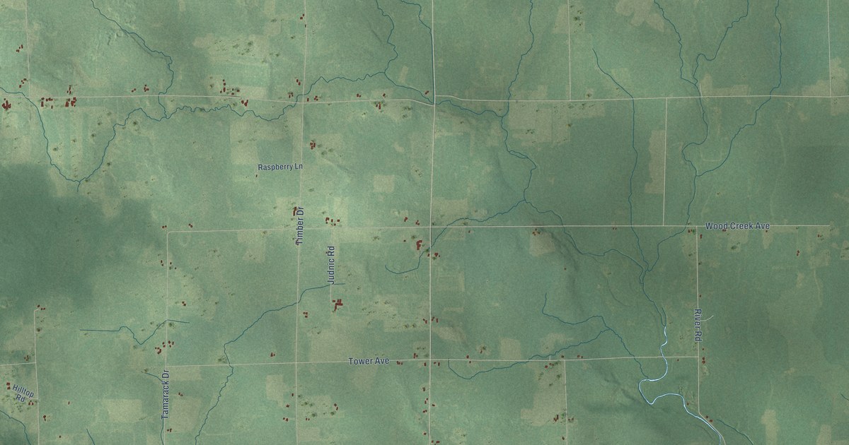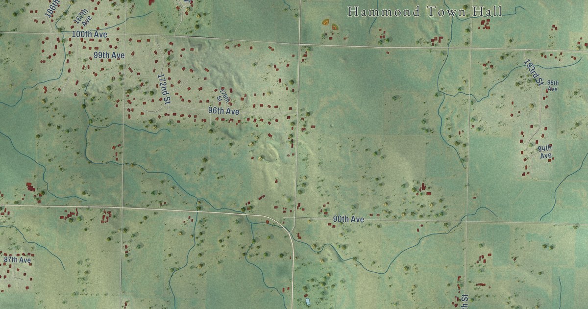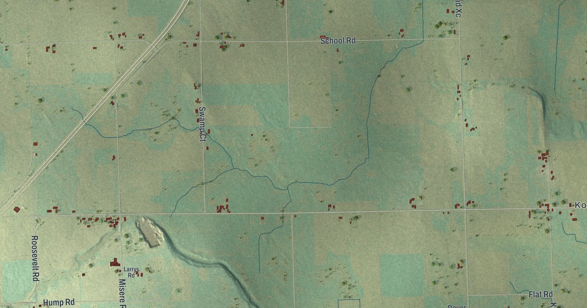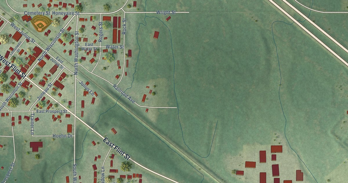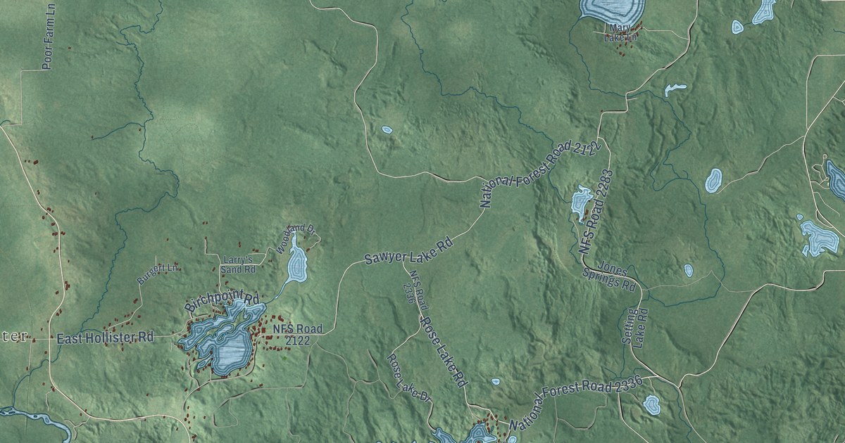
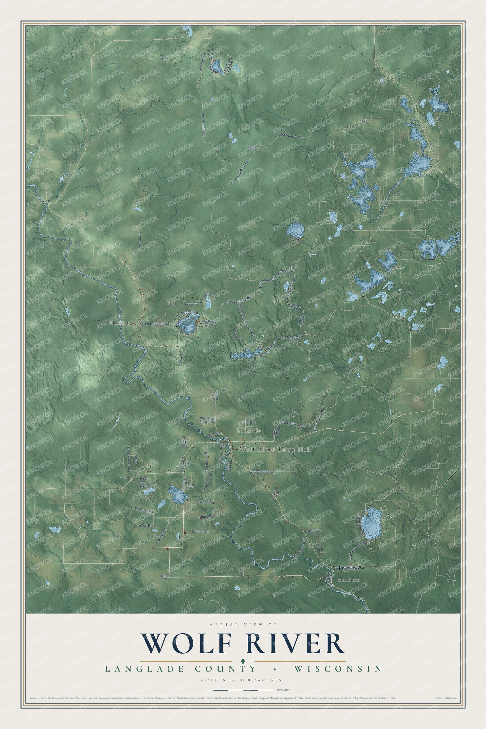
This beautifully detailed map of Wolf River, Wisconsin was created in 2026 using aerial imagery combined with modern topographical, census, street and landmark data. It's a modern aerial view of Wolf River in Langlade County, Wisconsin, that combines modern data with a vintage aesthetic. The roads feature printed names, and if you look closely you can find your exact house accurately shown in its correct location.
Explore an aerial view of Wolf River, Wisconsin
On this map you'll find Wolf River Town Hall, Markton, Langlade, Hollister, Co Highway Ww, National Forest Road 2336, Rose Lake Road, Diamond Roof Road, NFS Road 2123, Sawyer Lake Road, NFS Road 2357, National Forest Road 2122, and more. Each red shape is a building, so zoom in on the preview and look for yours.
Here is a piece of Wolf River history, in the words of the record. The History of Langlade County puts it this way: "Township 31, Range 13 East was taken from Elton township February 26, 1896, and was established as Wolf River township."
Wolf River is a town in Langlade County. The Census Bureau counted 783 people here in 2020.
Take a closer look at the Wolf River map
Names on this map
These names are printed on this map.
Places: Wolf River Town Hall, Markton, Langlade and Hollister.
Streets and roads: County Highway Ww, National Forest Road 2336, Rose Lake Road, Diamond Roof Road, NFS Road 2123, Sawyer Lake Road, NFS Road 2357, National Forest Road 2122, Buettner Road, NFS Road 2283, Van Alstine Road, Fish Hatchery Road.
More street names, A to Z
Ada & Glade Lake Road, Ada Lake Road, Alft Road, Allen Road, Badger Ranch Drive, Bank Road, Birch Lane, Birchpoint Road, Burgert Lane, Campground Drive, Church Street, Connors Drive, Conns Lane, Darinski Road, Deer Park Lane, Deer Trail, Dessel Road, Doemel Lane, East Hollister Road, Edelman Road, Elst Road, Erdman Road, Gardner Dam Road, Hannah's Lane, Hollister Lake Road, Jones Springs Road, Lake Street, Larry's Sand Road, Mary Lake Lane, McCaslin Brook Road, Miller Lane, Murray Lane, Mytas Road, NFS Road 2122, NFS Road 2336, North Lake Lane, North White Lake Drive, Old 55, Pine Drive, Poor Farm Lane, Rocky Rips Road, Rose Lake Drive, Sauls Spring Road, Setting Lake Road, Sheidon Road, Stamper Road, Swenska Hills Road, Taylor Road, Van Ostrand Road, Wallrich Road, Wistful Vista Road, Wolf River Drive, Wolf River Refuge Acc, Woodland Drive, Wood Street.
Created by KNOWOL in 2026. The buildings are small red shapes, the roads carry their printed names, and shaded relief shows the shape of the land. The title panel reads "AERIAL VIEW OF WOLF RIVER, LANGLADE COUNTY • WISCONSIN" with 45°11' NORTH 88°44' WEST.
It suits a den, a classroom or a front hall, and it makes a gift for anyone with Wolf River roots. Open the preview and find the block you know. See sizes and frames for the Wolf River, Langlade County map.