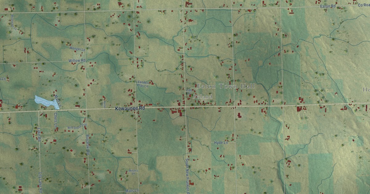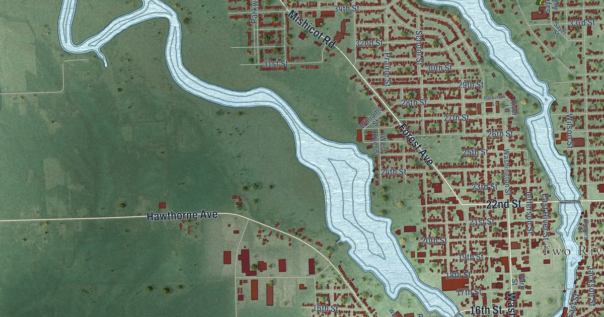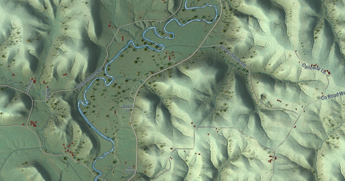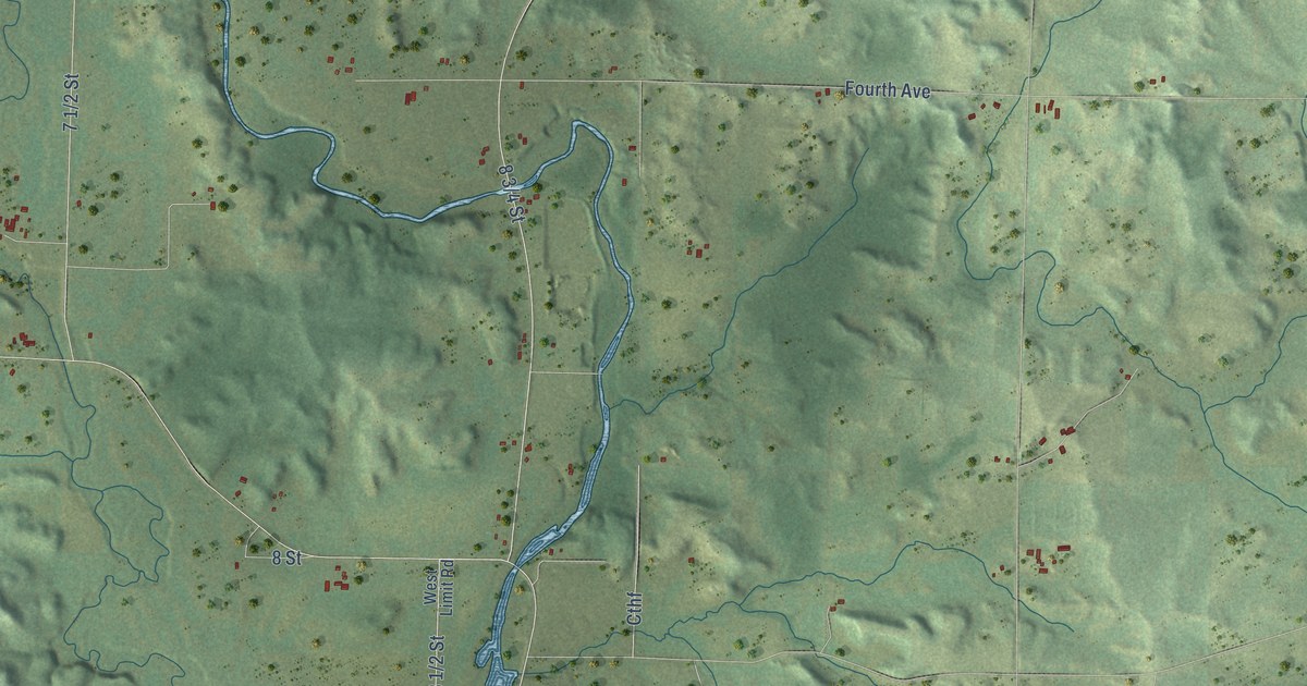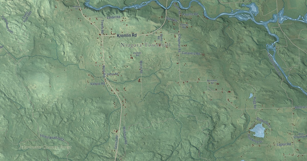
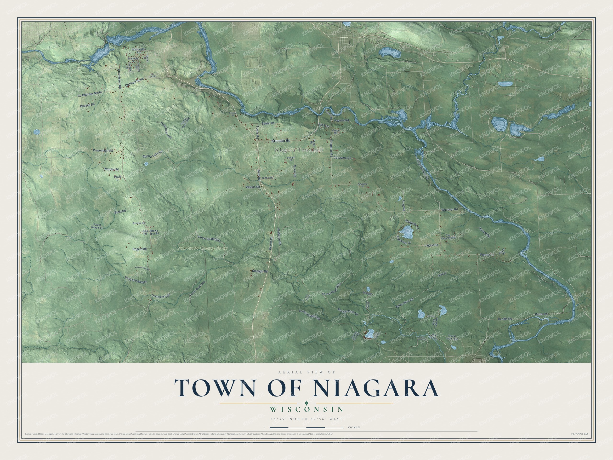
This beautifully detailed map of Niagara, Wisconsin was created in 2026 using aerial imagery combined with modern topographical, census, street and landmark data. It's a modern aerial view of Niagara in Marinette County, Wisconsin, that combines modern data with a vintage aesthetic. The roads feature printed names, and if you look closely you can find your exact house accurately shown in its correct location.
Explore an aerial view of Niagara, Wisconsin
On this map you'll find Niagara Townhall, Marinette County Forest, Kremlin Road, Old 8 Road, Barlow Lake Road, Chapman Road, Co Highway North, Co Road North, Forest Road 1006, Forest Road 1007, Morgan Park Road, Spike Horn Road, and more. Each red shape is a building, so zoom in on the preview and look for yours.
Niagara is a town in Marinette County. The Census Bureau counted 852 people here in 2020. The map prints the town name in its title panel, with the coordinates below it.
Take a closer look at the Niagara map
Names on this map
These names are printed on this map.
Places: Niagara Townhall and Marinette County Forest.
Streets and roads: Kremlin Road, Old 8 Road, Barlow Lake Road, Chapman Road, County Highway North, County Road North, Forest Road 1006, Forest Road 1007, Morgan Park Road, Spike Horn Road, Raddie Road, Rattie Road.
More street names, A to Z
Antonissen Road, Barton Bird Road, Bjorkman Road, Bomber Road, Brooks Road, Brown Spur Road, Bull Dam Road, Canavera Road, Carpenter Road, Chapman Lake Road, Cook and Bullets, Don Chapman Road, Echo Lake Road, Ernst Road, Fleischfresser Road, Forest Road 533, Forest Road 1001, Forest Road 1002, Forest Road 1003, Forest Road 1005, Forest Road 1009, Forest Road 1114, Forest Road 1116, Genrich Road, Hansen Road, Hazard Road, Johns Road, Kinziger Road, Knutson Road, Lagest Road, Leslie Road, Lone Slide Road, Maple Lane, Michelle Street, Morin Road, Panis Road, Patzer Road, Payette Road, Penrod Road, Phillips Road, Pinewood Drive, Provencher Road, Rogers Road, Rugg Road, Stillwater Lane, Sturgeon Dam Road, Timms Lake Road, Timothy Road, Towns Road, Truman Street, Valerio Road, Van Hulla Road, Washington Avenue, Wellever Road, Wescher Road, West Road, Wishman Road, Zaidel Road, Zanon Road.
Created by KNOWOL in 2026. The buildings are small red shapes, the roads carry their printed names, and shaded relief shows the shape of the land. The title panel reads "AERIAL VIEW OF TOWN OF NIAGARA, WISCONSIN" with 45°45' NORTH 87°56' WEST.
Hang it in the hallway, the office or the cabin, or give it to someone who left Niagara and still calls it home. Open the preview and look for a street you know. See sizes and frames for the Town of Niagara map.