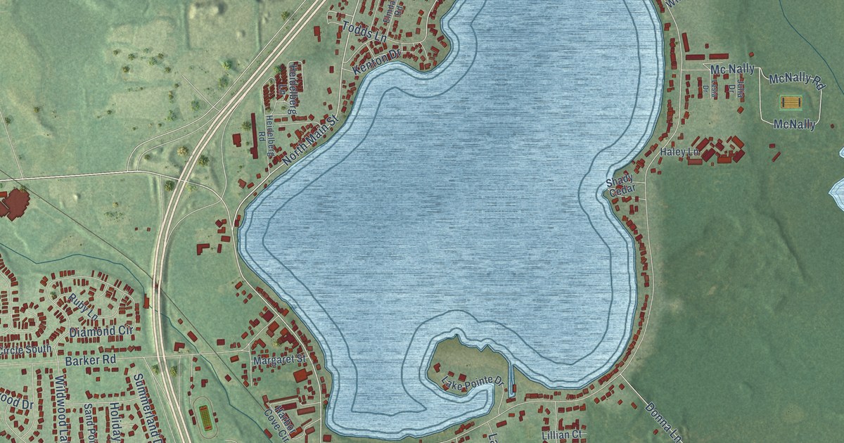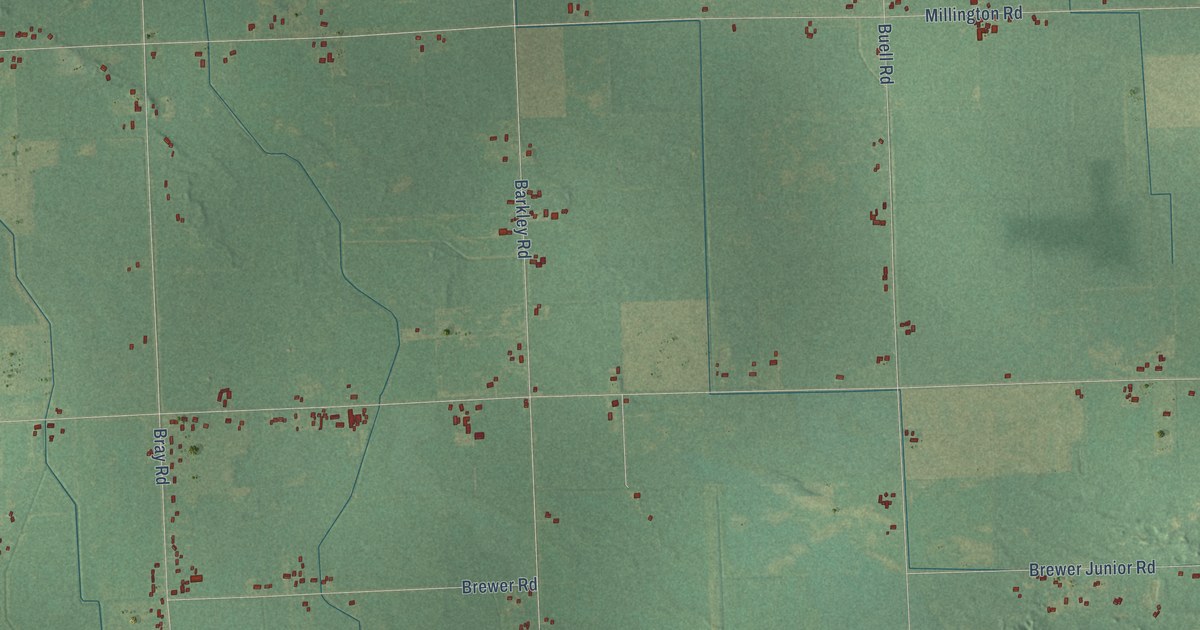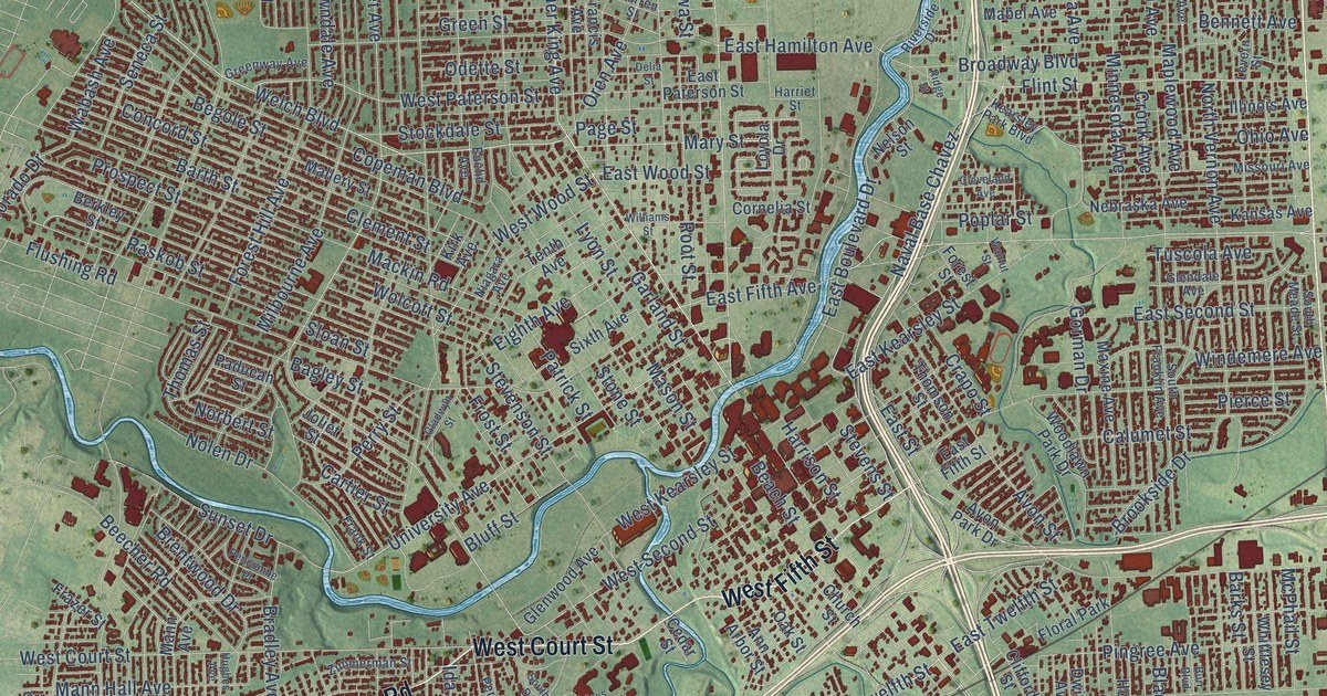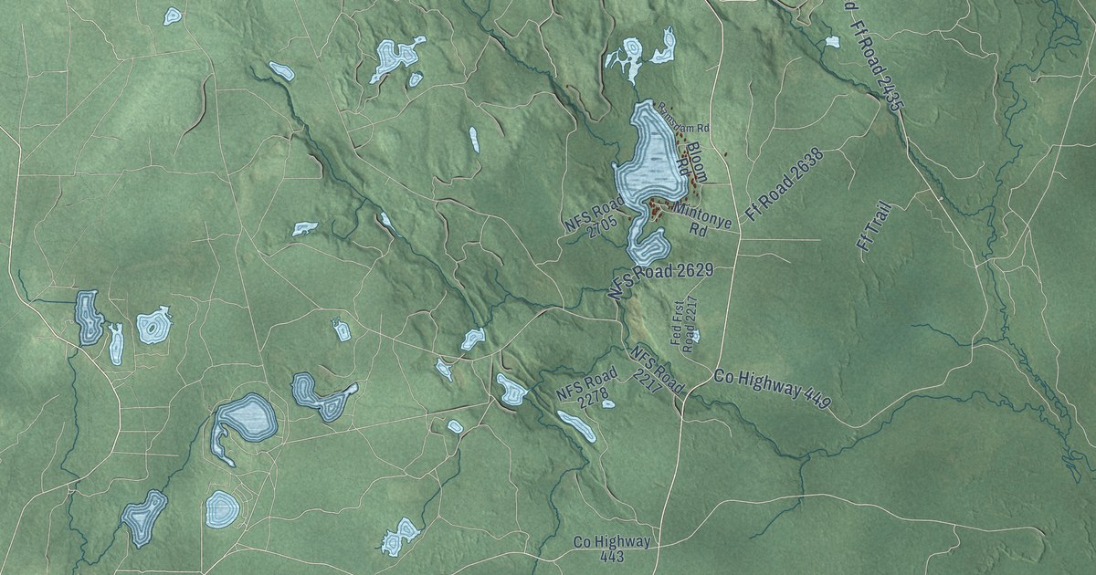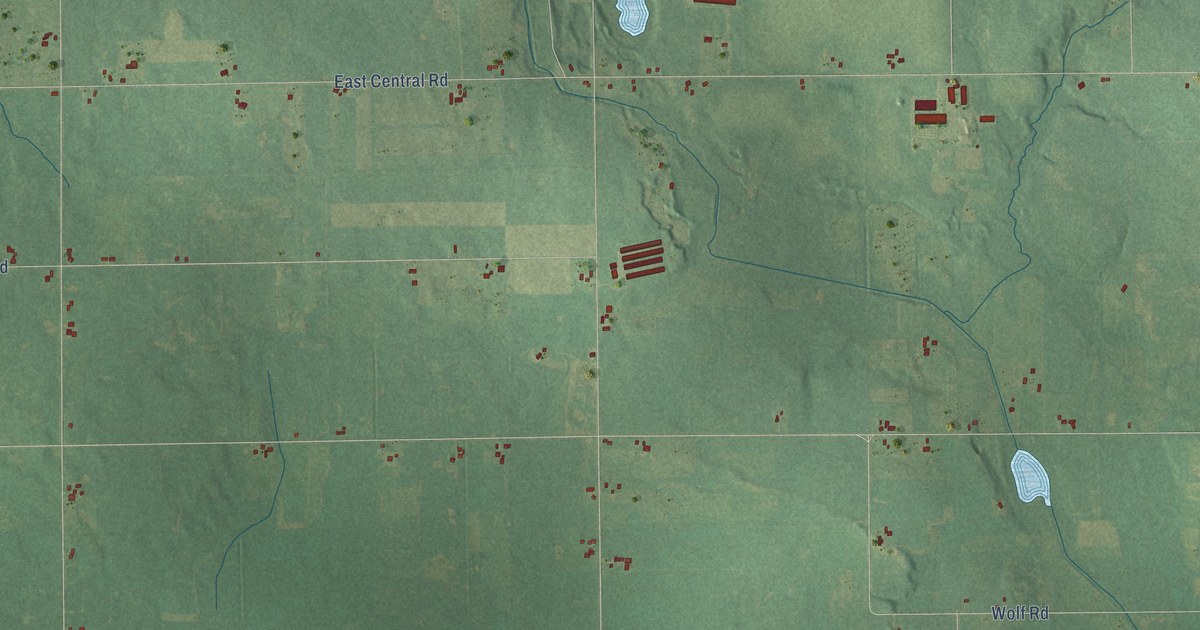
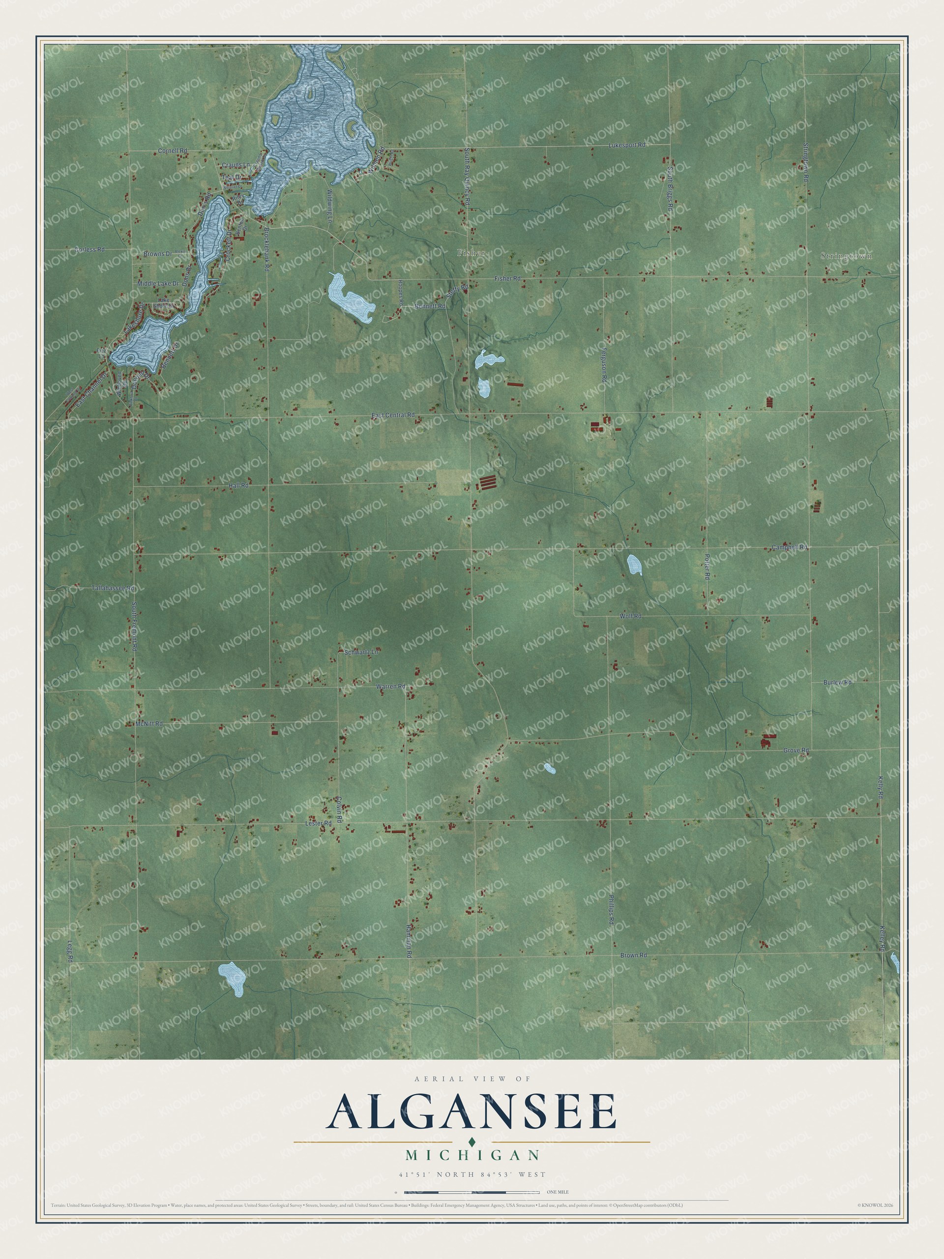
This beautifully detailed map of Algansee, Michigan was created in 2026 using aerial imagery combined with modern topographical, census, street and landmark data. It's a modern aerial view of Algansee in Branch County, Michigan, that combines modern data with a vintage aesthetic. The roads feature printed names, and if you look closely you can find your exact house accurately shown in its correct location.
Explore an aerial view of Algansee, Michigan
On this map you'll find Stringtown, Fisher, Lukesport Road, Wilmen Road, Bennett Road, Cornell Road, Lakeshore Drive, South Ray Quincy Road, South Fremont Road, East Central Road, Brown Road, Lester Road, and more. Each red shape is a building, so zoom in on the preview and look for yours.
Here is a piece of Algansee history, in the words of the record. The History of Branch County puts it this way: "By an act of the Legislature of the State of Michigan, approved April 2, 1838, Algansee was formed from Quincy township."
The Census Bureau counted 2,033 people here in 2020.
Take a closer look at the Algansee map
Names on this map
These names are printed on this map.
Places: Stringtown and Fisher.
Streets and roads: Lukesport Road, Wilmen Road, Bennett Road, Cornell Road, Lakeshore Drive, South Ray Quincy Road, South Fremont Road, East Central Road, Brown Road, Lester Road, Campbell Road, Fisher Road.
More street names, A to Z
Alexis Drive, Bennett Drive, Benton Drive, Bickford Drive, Brocklebank Road, Browns Drive, Burlew Road, Colvin Road, Corless Road, Crauns Beach Drive, Crauns Lane, Crockett Drive, Don's Road, Donnell Drive, Dons Drive, East Channel Drive, Ferguson Road, Fizz Lane, Grove Road, Hall Road, Hamman Road, Hoopes Road, Kelley Road, Kelly Road, Lake Shore Drive, Legg Road, McNitt Road, Middle Lake Drive, Phillips Road, Potter Road, Riley Drive, Schwartz Lane, South Briggs Road, Steffy Road, Stringtown Road, Tallahassee Road, Teal Drive, Warren Road, West Channel Drive, Whistler Drive, Wildwing Lane, Winhoven Road, Wolf Road, Wright Road.
Created by KNOWOL in 2026. The buildings are small red shapes, the roads carry their printed names, and shaded relief shows the shape of the land. The title panel reads "AERIAL VIEW OF ALGANSEE, MICHIGAN" with 41°51' NORTH 84°53' WEST.
It suits a den, a classroom or a front hall, and it makes a gift for anyone with Algansee roots. Open the preview and find the block you know. See sizes and frames for the Algansee map.