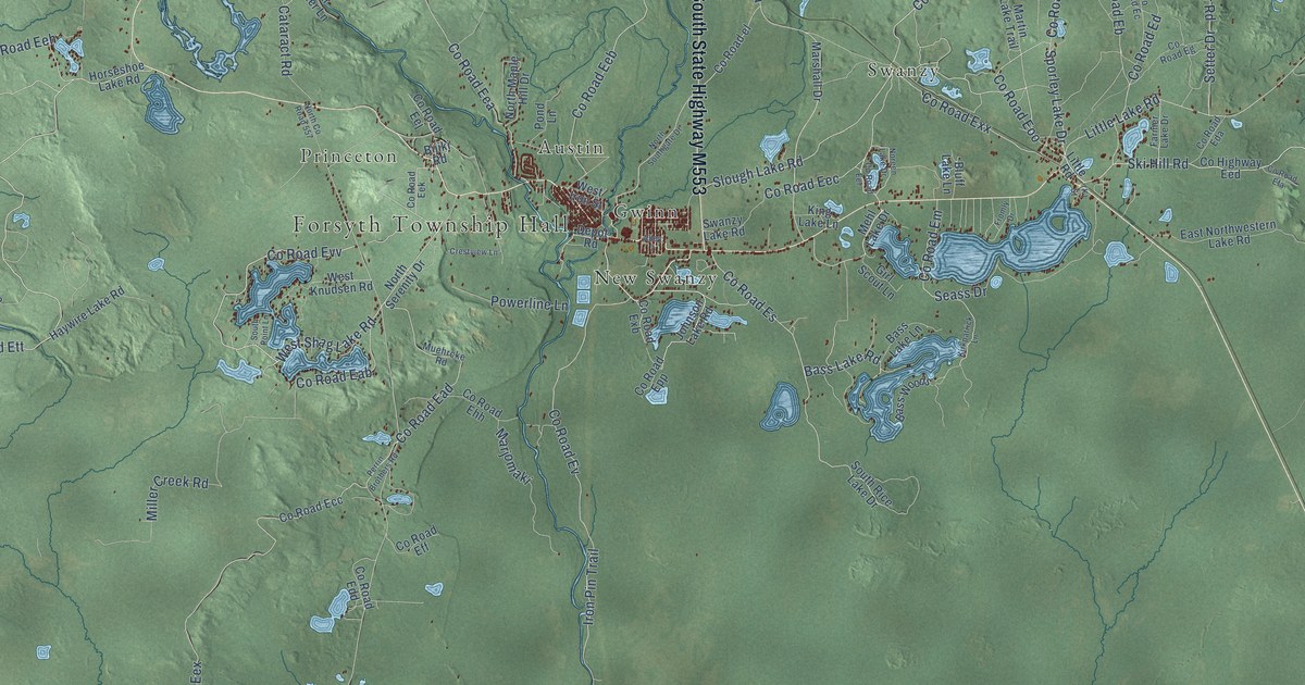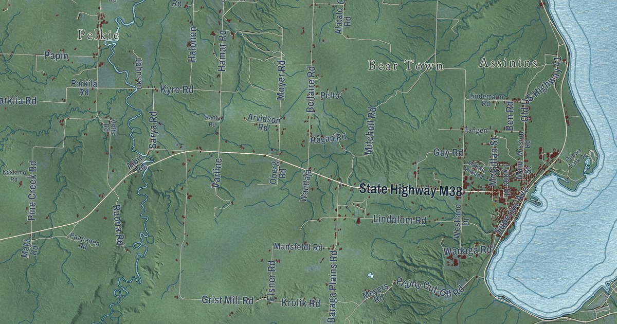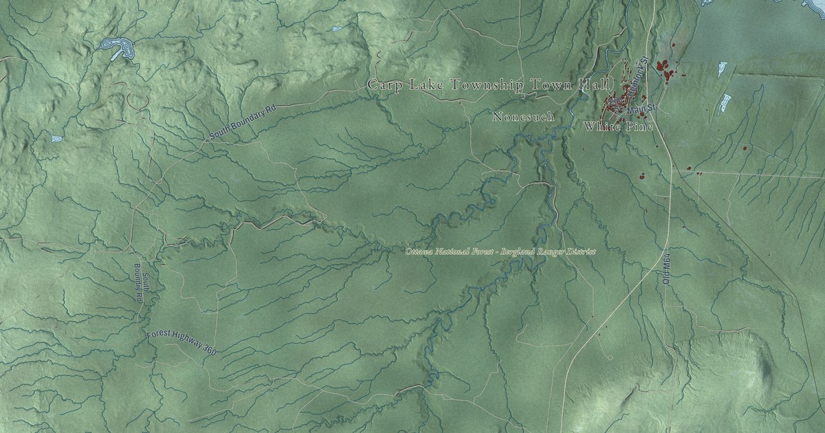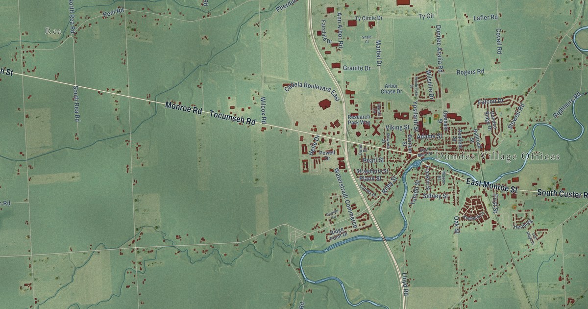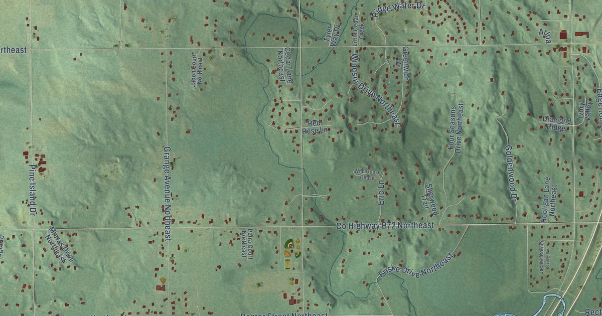
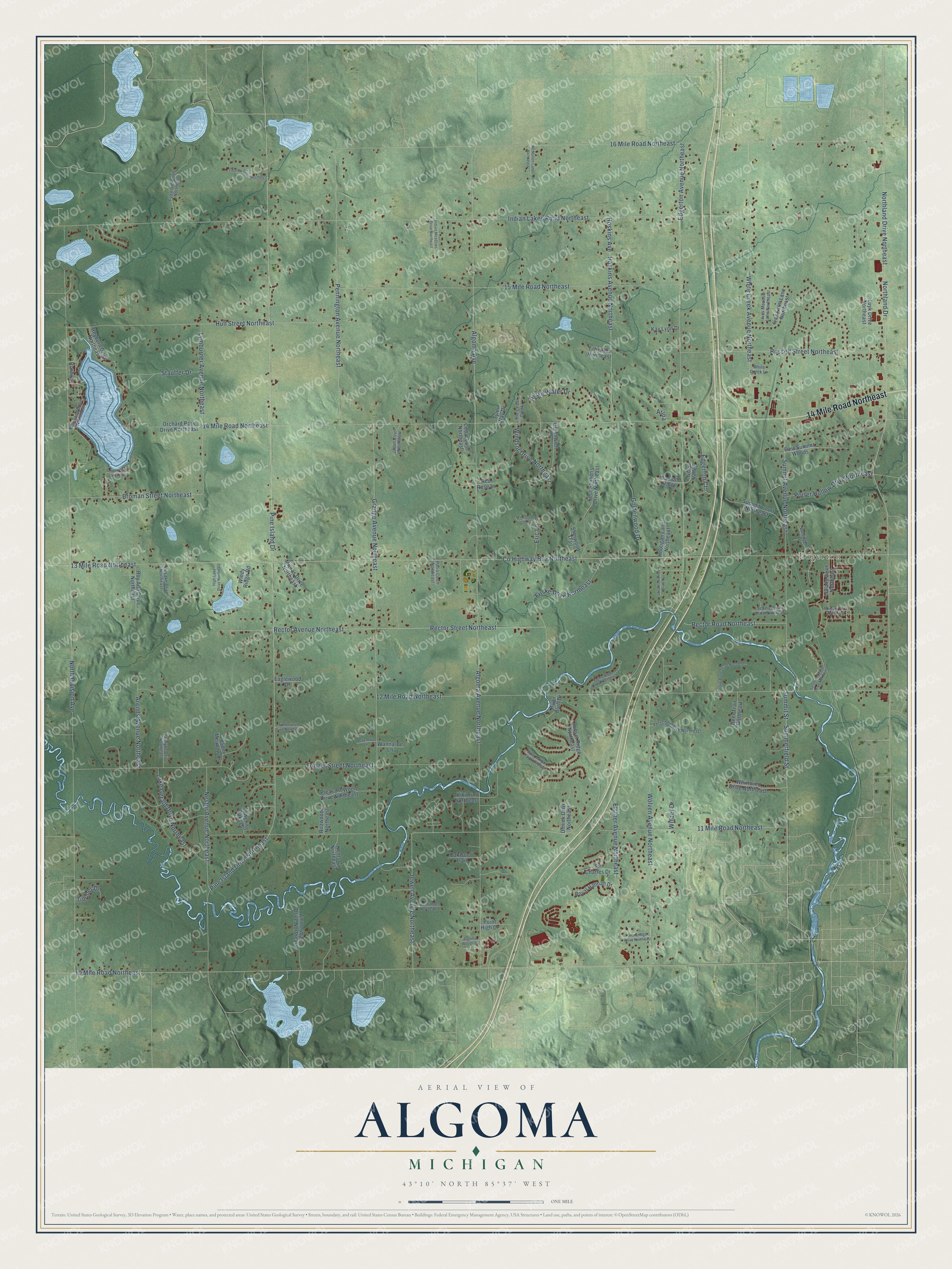
This beautifully detailed map of Algoma, Michigan was created in 2026 using aerial imagery combined with modern topographical, census, street and landmark data. It's a modern aerial view of Algoma in Kent County, Michigan, that combines modern data with a vintage aesthetic. The roads feature printed names, and if you look closely you can find your exact house accurately shown in its correct location.
Explore an aerial view of Algoma, Michigan
On this map you'll find Edgerton, 14 Mile Road Northeast, Northland Drive Northeast, 11 Mile Road Northeast, 10 Mile Road Northeast, Rector Street Northeast, Jewell Avenue Northeast, Pine Island Drive Northeast, Algoma Avenue Northeast, Indian Lakes Road Northeast, 13 Mile Road Northeast, Pine Island Drive, and more. Each red shape is a building, so zoom in on the preview and look for yours.
Every town has a first chapter, and Algoma is no exception. The History of Kent County puts it this way: "In 1854 Harvey and Seth Porter erected grist, shingle and sawmills in Algoma."
The Census Bureau counted 12,055 people here in 2020.
Take a closer look at the Algoma map
Names on this map
These names are printed on this map.
Places: Edgerton.
Streets and roads: 14 Mile Road Northeast, Northland Drive Northeast, 11 Mile Road Northeast, 10 Mile Road Northeast, Rector Street Northeast, Jewell Avenue Northeast, Pine Island Drive Northeast, Algoma Avenue Northeast, Indian Lakes Road Northeast, 13 Mile Road Northeast, Pine Island Drive, Edgerton Avenue Northeast.
More street names, A to Z
12 Mile Road Northeast, 15 Mile Road Northeast, 16 Mile Road Northeast, Algoma Avenue, Algoma Woods Drive, Ammerman Drive Northeast, Arends Avenue Northeast, Arloa, Aspen Meadow Drive, Broman Street Northeast, Cedar Lane Northeast, County Highway B72 Northeast, Deer Trail Northeast, Diamond Ridge, Dimick Drive Northeast, Eaglewood Drive, East Summit Woods, Edgerton Court, Elstner Avenue Northeast, Eric Lane, Fonger Street Northeast, Four Seasons Drive Northeast, Foxwood Drive Northeast, Friske Drive Northeast, Galaxy Drive Northeast, Goldenwood Drive, Grange Avenue Northeast, Greentimbers Northeast, Greenwich Drive, High Lake Drive Northeast, Hooligan Lane Northeast, Hoskins Avenue, Hoskins Avenue Northeast, Hull Street Northeast, Indian Meadows Drive Northeast, Ives Farm Lane Northeast, Ives Meadow Lane Northeast, Ivory Valley, Jacobs Corner Drive Pvt, Jadon Court Northeast, Kay Lynn Drive, Kents Cv Northeast, Kiki Run Northeast, Lake Gerald Drive Northeast, Little Cedar Creek, Low Lake Drive Northeast, Luyk Drive Northeast, Lymburner Avenue Northeast, Maywood Drive Northeast, McLemore Lane, McMullen Lane Northeast, Mercury Drive Northeast, Mieras Drive Northeast, Nestor Avenue Northeast, North Division Avenue, Northland Drive, Oakwood Trail, Orchard Park Drive Northeast, Pennington Avenue Northeast, Petra Court Northeast, Pleasant Wood Drive Northeast, Point High Drive, Porter Hollow Drive Northeast, Rector Avenue Northeast, Rector Road Northeast, Red Rose Lane, Reyburn Drive Northeast, Ridge Water Drive, Ritzwoods Northeast, River Bluff Drive, Rogue Pond Drive Northeast, Roxbury, Royal Hannah Drive, Roy Ann Drive Northeast, Russell Street Northeast, Scenic Pines Drive Northeast, Serenity Shores Drive Northeast, Sherwood Trail, Sir Charles Drive, Stauffer Drive, Stoneridge Drive Northeast, Summerfield Street, Summit Avenue Northeast, Summit Court Northeast, Summit Street, Sunset Ridge Northeast, Tebeau Drive Northeast, Tibalew Drive Northeast, Tillie Run Northeast, Timberwolf Drive Northeast, Timmer Drive, Towering Oaks Drive, Tyler Way Drive, Valley View Drive Northeast, Vandyke Drive Northeast, Verschel Drive Northeast, Wanna-Be Lane, Wellington Drive, West Morgan Trail Northeast, Whirlwind Drive Northeast, White Creek Avenue Northeast, White Creek Lane, Wild Goose Chase, Windsor Drive Northeast, Windy Ridge Road, Winzer Drive, Wolven Avenue Northeast.
Created by KNOWOL in 2026. The buildings are small red shapes, the roads carry their printed names, and shaded relief shows the shape of the land. The title panel reads "AERIAL VIEW OF ALGOMA, MICHIGAN" with 43°10' NORTH 85°37' WEST.
Hang it in the hallway, the office or the cabin, or give it to someone who left Algoma and still calls it home. Open the preview and look for a street you know. See sizes and frames for the Algoma map.