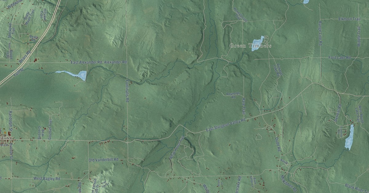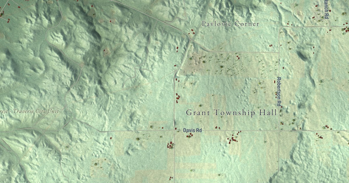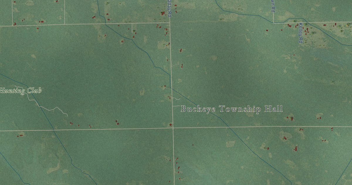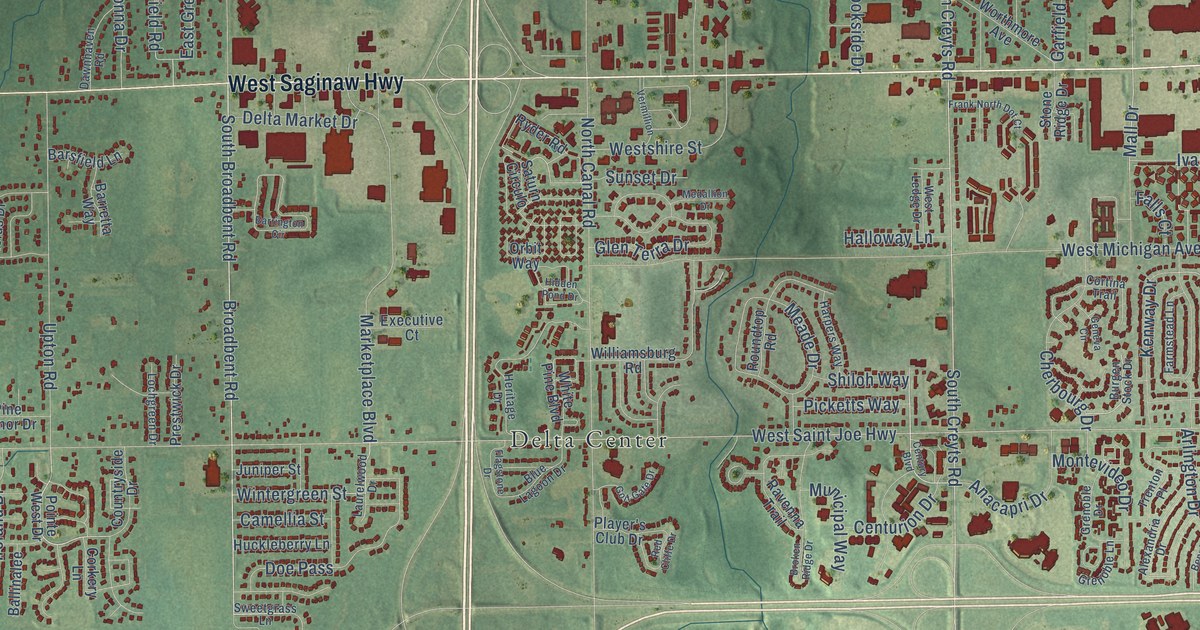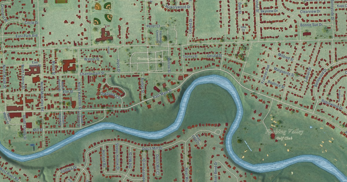
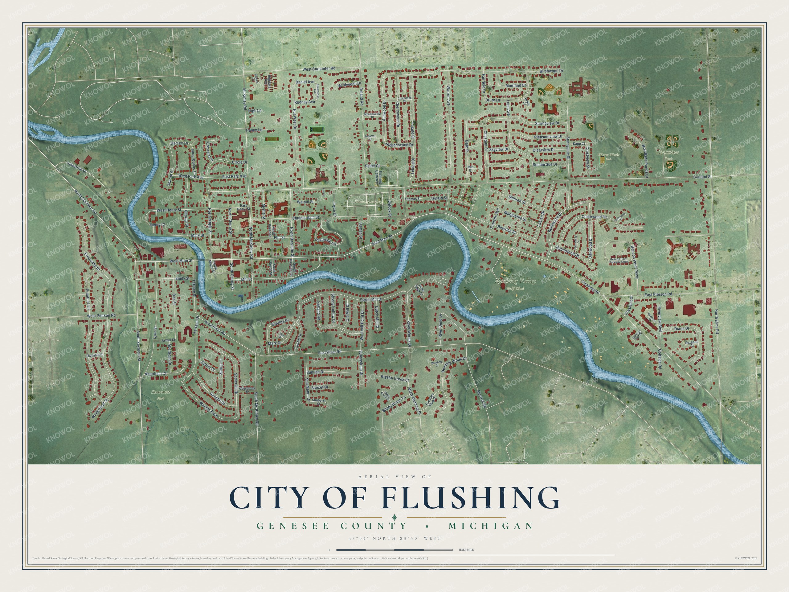
This beautifully detailed map of Flushing, Michigan was created in 2026 using aerial imagery combined with modern topographical, census, street and landmark data. It's a modern aerial view of Flushing in Genesee County, Michigan, that combines modern data with a vintage aesthetic. The roads feature printed names, and if you look closely you can find your exact house accurately shown in its correct location.
Explore an aerial view of Flushing, Michigan
On this map you'll find Eastview Park, Flushing Valley Golf Club, FlushingCemetery, Somerset Park, Water Works Park, East Main Street, West Main Street, Bellewood Drive, Oakwood Drive, South Seymour Street, North Seymour Road, North Maple Street, and more. Each red shape is a building, so zoom in on the preview and look for yours.
Every town has a first chapter, and Flushing is no exception. The History of Genesee County puts it this way: "The first quarterly meeting was held at Flushing village, in a barn, about 1844, and for the benefit of the hungry, a turkey was baked in an oven built by James Wood."
Flushing is a city in Genesee County. The Census Bureau counted 8,411 people here in 2020.
Take a closer look at the Flushing map
Names on this map
These names are printed on this map.
Places: Eastview Park, Flushing Valley Golf Club, FlushingCemetery, Somerset Park, Water Works Park and Flushing Cemetery.
Streets and roads: East Main Street, West Main Street, Bellewood Drive, Oakwood Drive, South Seymour Street, North Seymour Road, North Maple Street, West River Road, South Mc Kinley Road, Coutant Street, Ashwood Drive, Hickorywood Drive.
More street names, A to Z
Aberdeen Court, Aberdeen Drive, Arthur Street, Autumn Drive, Beacon Point Parkway, Beacon Point Parkway South, Beatrice Street, Beaumont Court, Beechwood Court, Bending Brook Drive, Bending Court, Birchwood Drive, Boman Street, Bonnie Sue Drive, Brookside Drive, Carrie Drive, Cedarwood Court, Cedarwood Drive, Chamberlain Street, Cherrywood Drive, Chestnut Street, Circle Drive, Clearview Drive, Cloverland Drive, Crescent Drive, Crescent Place, Crestview Street, Cynthia Drive, Dale Street, Daniel Avenue, Darcey Lane, Deland Road, Diane Drive, Drury Court, Drury Lane, Dutch Mill Court, Dutch Mill Drive, East Henry Street, East Park Avenue, East Pierson Road, East River Road, Elm Street, Emily Street, Fairfield Drive, Fairways East Drive, Flushing Road, Fountain View Drive, Frances Avenue, George Street, Gerald Street, Golfside Road, Hamm Lane, Henry Court, High Lane, Highlane Avenue, Highlane Circle, Holland Road, Hut West Drive, Industrial Drive, Iola Court, James Connis Street, Joyce Drive, Kapp Court, Kim Court, Krystal Creek Court, Labian Drive, Laurie Drive, Leland Drive, Leland Street, Luce Avenue, Lynn Street, Marguerite Street, Mark Drive, Mary Street, McKinley Road, Meadowview Drive, Mildred Street, Mill Street, Misty Morning Drive, Morrish Road, Muirland Drive, Myrtle Street, North Beech Street, North Cherry Street, North Elms Road, North Hazelton Street, North McKinley Road, Northwood Drive, Oakbrook Circle, Oak Street, Old Mill Drive, Overbrook Drive, Pellet Court, Pleasantview Drive, Primrose Lane, Putnam, River Bend Drive, River Edge Court, Riverview Boulevard, River Woods Drive, Robinwood Drive, Rodney Avenue, Scharrer Drive, Shady Brook Court, Shady Brook Lane, Sharon Drive, Shawnesee Avenue, Skyview Drive, Sleepy Hollow Drive, Somerset Drive, South Beech Street, South Cherry Street, South Hazelton Street, South Maple Street, Spring Lane, Springview Drive, Sunburst Street, Sun Manor Drive, Sunnyside Drive, Sunnyslope Drive, Sunrise Drive, Sunset Drive, Suzanne Court, Terrace Drive, Terrace Street, Thomas Street, Thornhill Place, Walnut Street, Warren Avenue, West Carpenter Road, West Henry Street, West Park Avenue, West Pierson Road, Wilcox Street, Windmill Point Drive, Windy Bluff Street, Winters Eave, Woodland Ponds Drive.
Created by KNOWOL in 2026. The buildings are small red shapes, the roads carry their printed names, and shaded relief shows the shape of the land. The title panel reads "AERIAL VIEW OF CITY OF FLUSHING, GENESEE COUNTY • MICHIGAN" with 43°04' NORTH 83°50' WEST.
Hang it in the hallway, the office or the cabin, or give it to someone who left Flushing and still calls it home. Open the preview and look for a street you know. See sizes and frames for the Flushing map.